From Erba you follow the state road to Como and reach Albavilla; following the few and confusing signs you take the road to Alpe del Vicerè. After several comfortable hairpin bends we look for parking near the entrance to the park.
Introduction
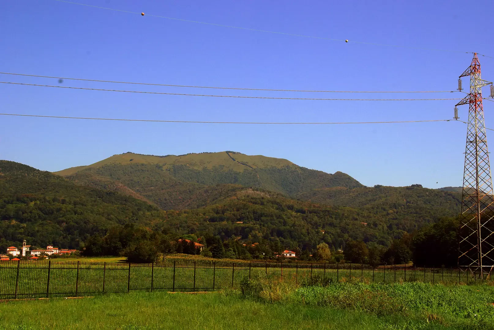
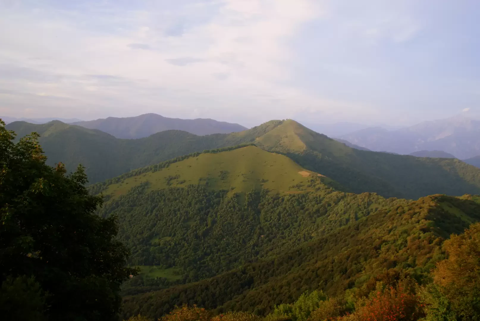
A short loop hike leading to one of the most popular peaks of the Lombardy Pre-Alps in every season. The interest is exclusively panoramic: the position - despite the modest altitude - allows views over the entire plain and the mountains of the Larian triangle; the summit is on the route of the Como - Bellagio traverse (which until the early 1970s was also carried out as a ski mountaineering competition). Monte Bolettone is recognisable from all over the plain north of Milan due to the presence of an unmistakable row of conifers.
Objective Danger: at night possible presence of wild boars
Description
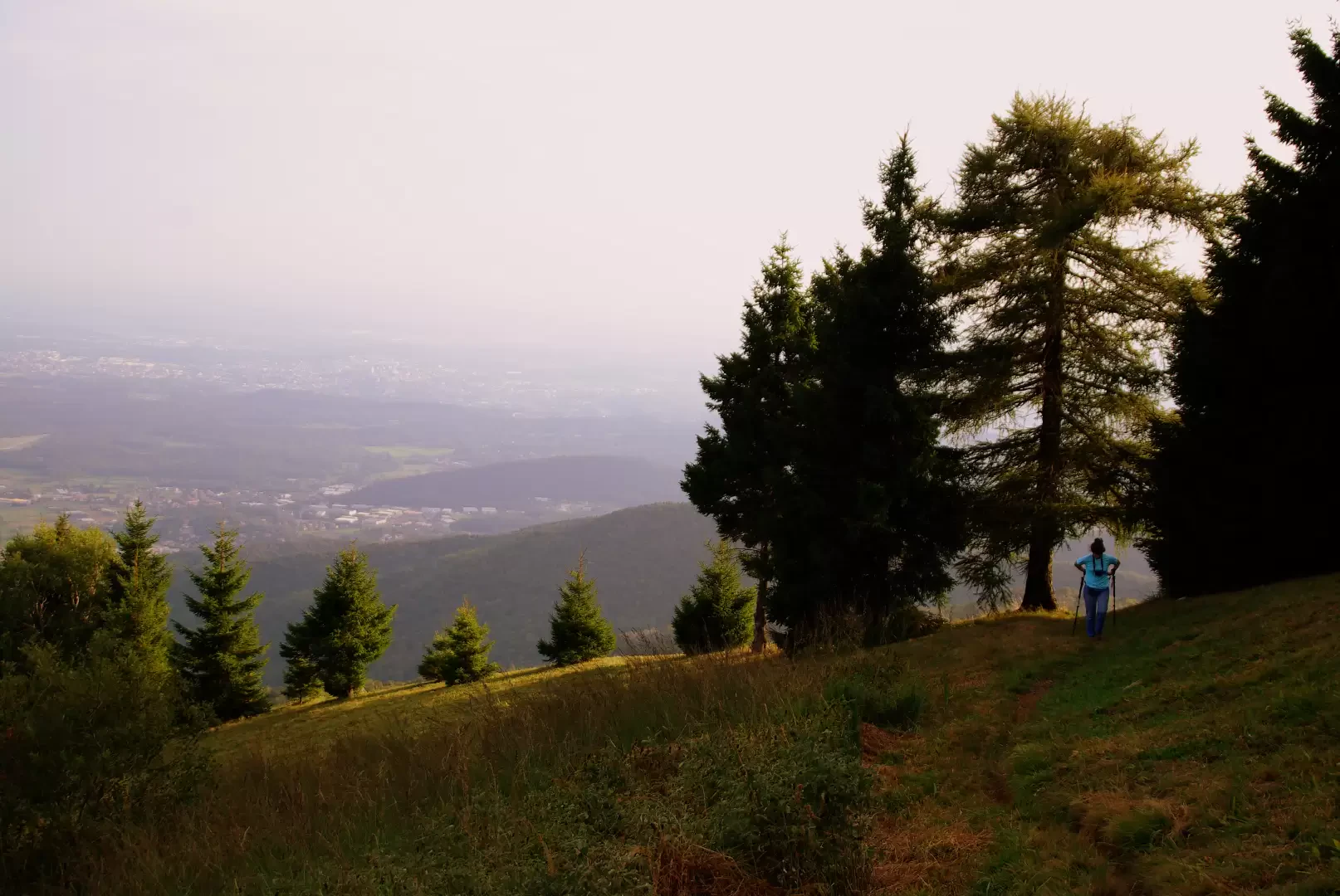
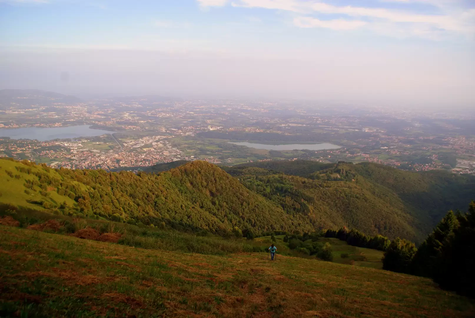
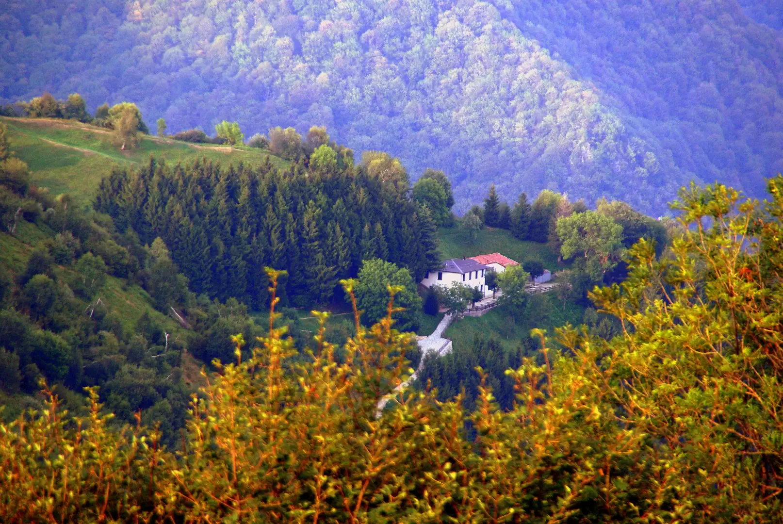
At the entrance to the Alpe del Viceroy Park, at a notice board with a hiking map, take the dirt track to the left; follow it for a long time through a dense fir forest: in some places the ascent becomes steep, climbing up the slopes of the Torre del Broncino (1077m). Continue without possibility of error until a right-hand bend, where a beautiful, unmarked path starts: traversing the steep meadows on the southern slope of our summit, it takes us close to the characteristic row of firs and larches; along the line of maximum slope - very steep - the path reaches and crosses the little wood that precedes the summit cross of Monte Bolettone (1317m). We follow the Como - Bellagio path to the right and, passing above a private refuge, reach a grassy hollow where the path to Bocchetta di Lemna (1167m) begins. After an initial section protected downstream by a fence, the path continues in a semi-planar tunnel of hazels until it reaches the Bocchetta trail junction. Following the arrows, it takes a few steps to reach the Capanna Mara hut (1125m). It is possible from here, in a half-hour round trip, to continue to the Monte Puscia viewpoint (1155m). From the hut's small square, following the service track downhill, return to the Alpe del Vicerè. Keeping to the right, and avoiding the direct path to Erba, you circle the park area and reach the car park.


Comments (0)
Sign in to leave a comment