Mont Giantsanaz, from Breuil

Edited by:
Benedetto Lorusso
Introduction
Mont Giantsanaz or Giansana (3051m) is an elevation of the ridge that runs from Mount Arolley above Pont in Valsavarenche to the Grand Etret, a ridge that divides the Seyvaz valley from the Nivolet valley.
Description
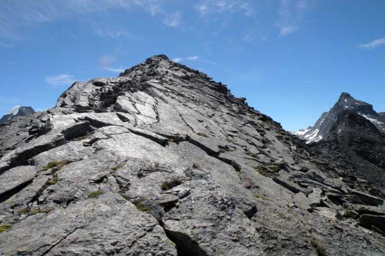
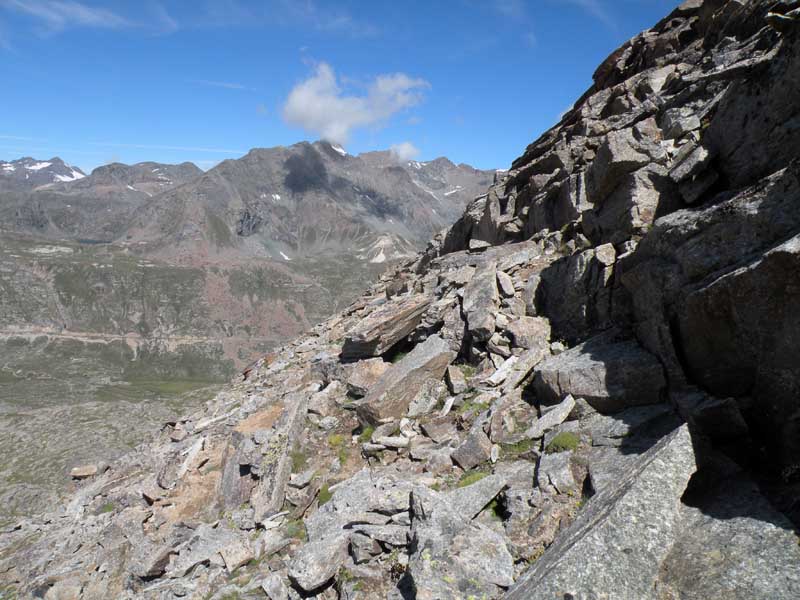
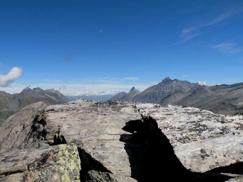
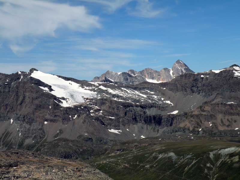
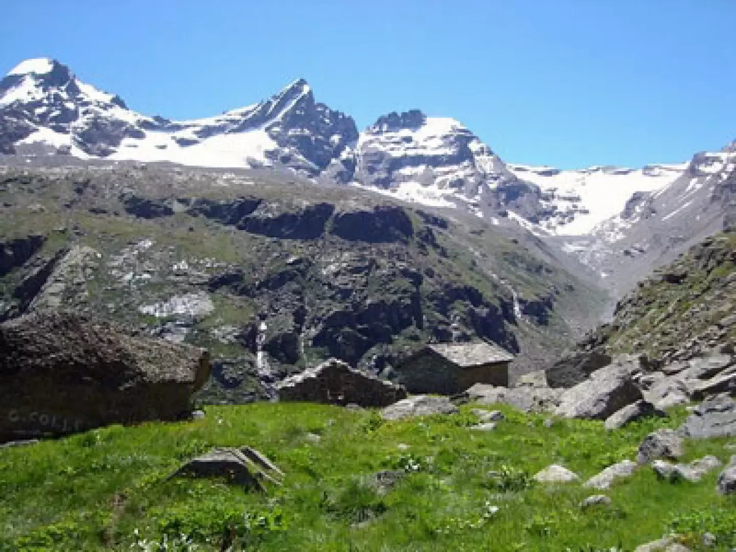
From Pont, the Gran Collet (2832m) can be reached on the path (2A), either from the Seyvaz valley, which is more strenuous but spectacular in terms of the panorama and environment, or from the gentler Nivolet side. It is better to ascend from Nivolet and descend from Seyvaz. On reaching the pass to the north, a little path leads along the south ridge to the summit of Arolley (2996m). Up to this point, a well-traced and marked path, 3h00' from Pont. For the Giantsanaz, a track to the south leads to the cairns, among the boulders on the north slope (but you can pass anywhere) to the final ridge which, after crossing a track that climbs from Nivolet, leads to the summit (0h30', 3h30' from Pont). Panorama dominated on one side by punta Basei, on the other by Gran Paradiso and its satellites. In the distance, Combin and Velan.
.Galleria fotografica
We have been there

Edited by:
Giancarlo Beretta
Mont Giantsanaz
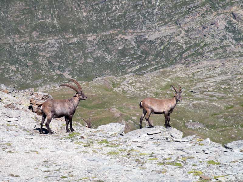
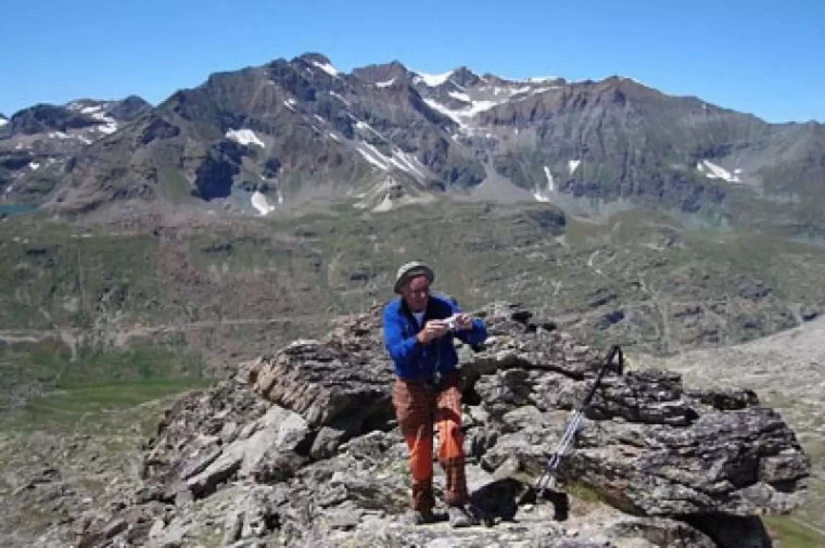
Effettuato il classico anello con discesa dalla croce dell'Aroley. Stefania, in giornata unn po' sottotono, si è fermata al Grand Collet. La traccia sino alla cresta, avvicinandosi alla quale diventa un po' ripida e franosa, è abbastanza riconoscibile anche grazie a qualche ometto ed oltre ad essa, sulla fiancata dalla parte opposta, tanti sono caduti e bisogna andare un po' a vista: io sono rimasto appena sotto la cresta (ho fatto solo una piccola deviazone ad una anticima dove c'erano degli stambecchi) anche perchè più sotto sulla fiancata gli sfasciumi ed il terriccio, molto instabili, diventano troppo ripidi ed ogni traccia che sembra di vedere è in realtà una delle tante colate create dall'acqua di fusione. Dalla vetta sembra forse che si possa anche, dal colletto a cui si arriva dal Gran Collet, scendere e poi traversare molto sotto la ripida fiancata per risalire al colletto roccioso tra l'anticima e la vetta (ma di questo non sono così sicuro). Comunque, dopo tanta fatica, panorama e solitudine non si sprecano e si torna, con molta cautela, senz'altro soddisfatti. Avvistamenti faunistici: Capra ibex