Lake Lese, from the Blanchet car park


Edited by:
Ivano Ruffoni
Updated at: 21/06/2025
Access
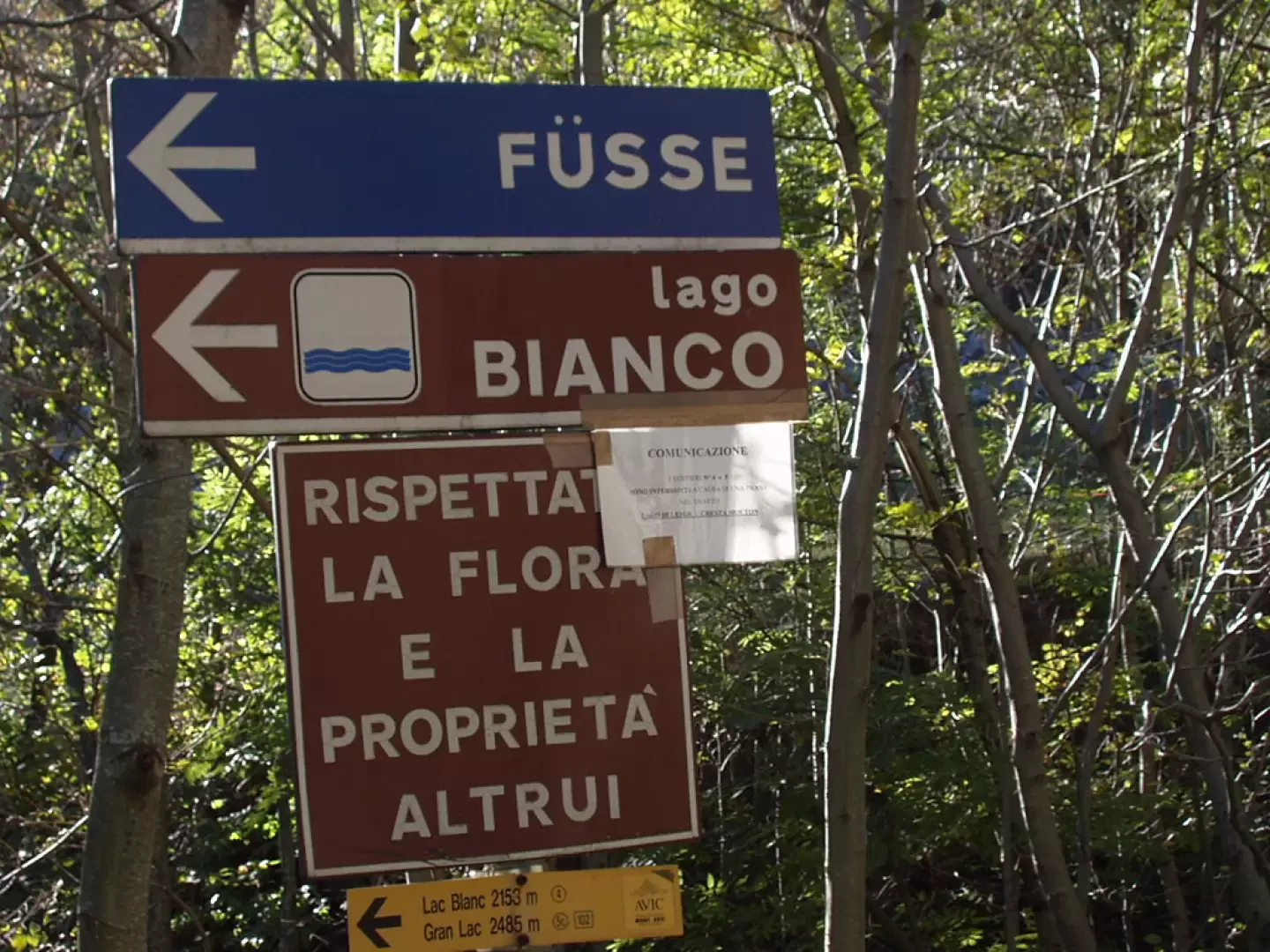
From the motorway junction at Verrès enter the roundabout and take the third exit and take the Strada Statale in the direction of Aosta.After 450m at the roundabout take the first exit and continue on the statale for a further 1.3km. Turn left onto the strada regionale with signs for Valle di Champdepraz - Parco del Mont Avic. Go up the for about 10km before meeting the panel with the signs for the resort's main car park: turn left following the signs for Blanchet and Fusse and, after about 200m, park your car in the convenient free car park 🅿️.
[0h22'] - [11.5km]
How to get there with GMaps
How to get there with Apple Maps
In the summer period, July/August, there is a shuttle service to Chevrère (Covarey).
These indications are based on direct verification carried out at the time of surveying the route so the information should be checked before setting off on the hike. We recommend using a GPS navigator or a map app on your smartphone to get up-to-date and detailed directions.
Introduction
Easy and little-visited excursion in the Mont Avic Regional Park. The itinerary takes place amidst the largest forest of mountain pine (pinus uncinata) in the Italian Alps and ends at one of the park's 30 small lakes. The Mont Avic Park's uncinata pine forest is part of the National Register of Seed Woods, which means that it is suitable for supplying seeds to the Forestry Corps for the dissemination of native Italian species.
Description
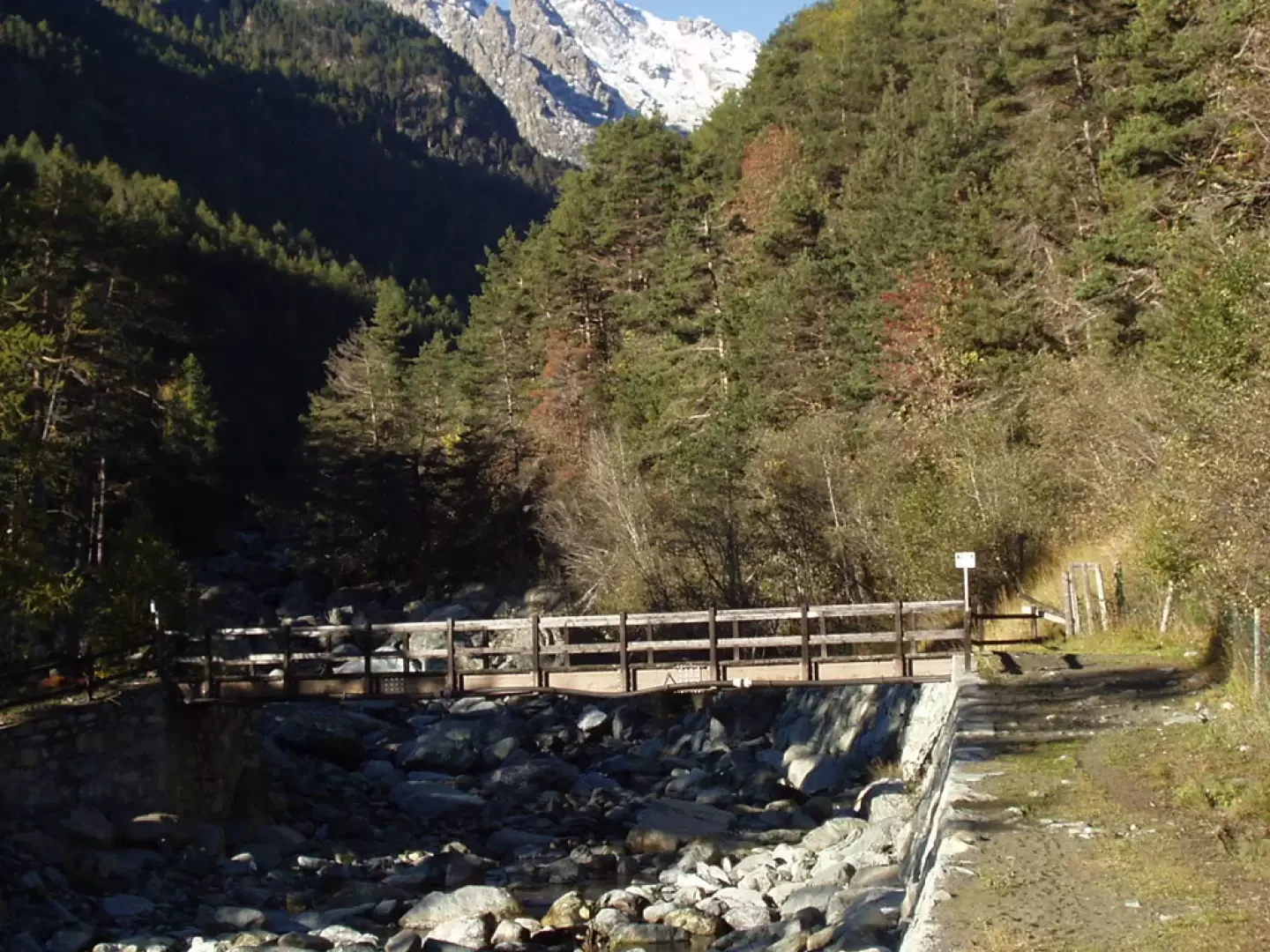
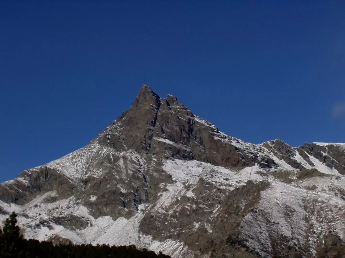
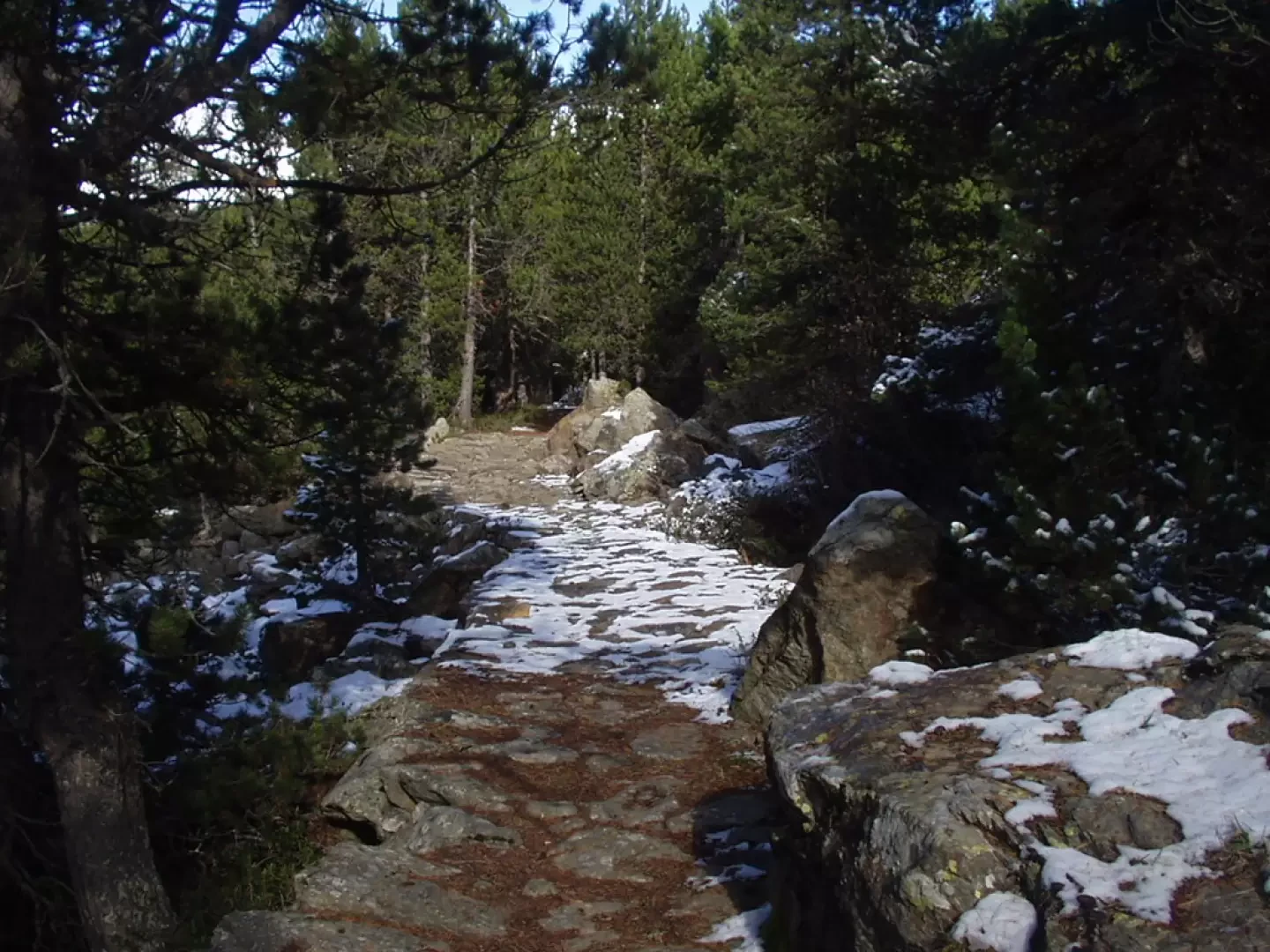
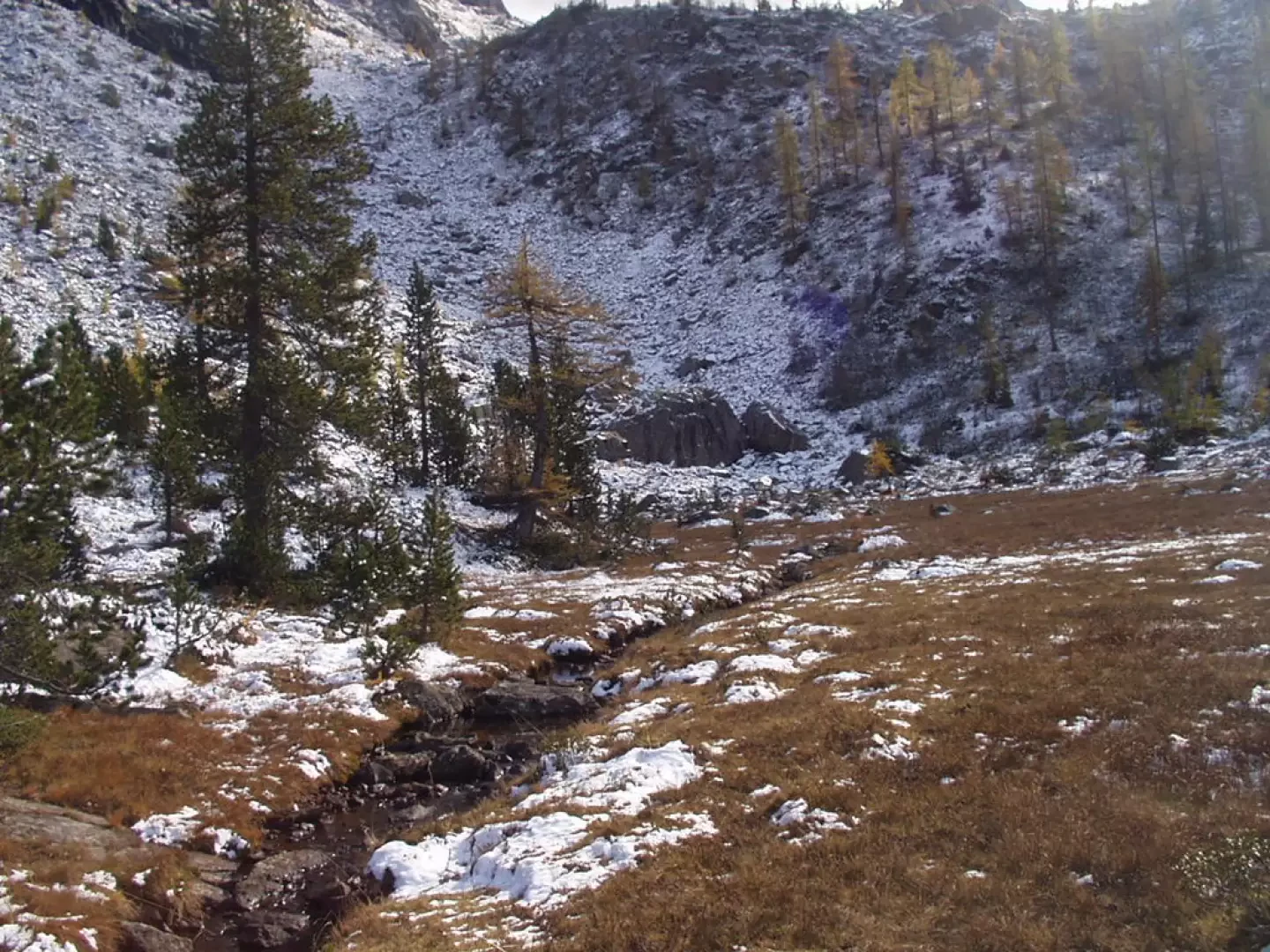
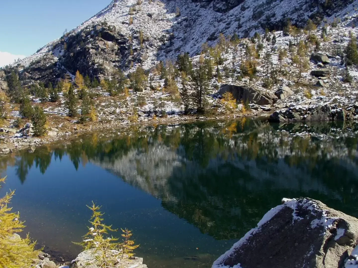
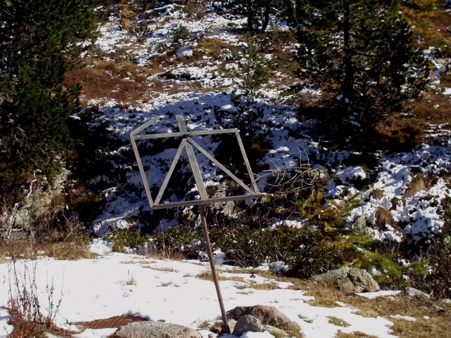
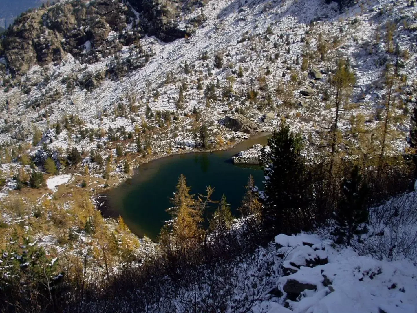
From the clearing, take the mule track downhill, signpost , which, with a few turns, leads to the orographic left bank of the Chalamy stream. At the bottom of the valley, the mule track forks. The dirt track on the left leads to a construction of the Champdepraz aqueduct, the Perrot reservoir of the hydroelectric power station, which can also be reached by car via the closed-bottom road that branches off a couple of hairpin bends before the clearing (to be considered as an alternative parking area). Follow the right-hand fork and, after ascending the stream for a few dozen metres, cross over a characteristic wooden bridge. The road enters the forest, passes some ruins and climbs along a wide, winding path. In this first section, one encounters numerous white markings alongside a few yellow signs. After a few minutes, you cross a wide dirt track, cross it and instead climb up onto the dirt track in front of you. The mule track immediately afterwards turns right, follow it for a few more minutes until you cross, on the left, the obvious yellow markings of path . Now, with a long and monotonous path, one ascends into the forest with numerous twists and turns. Between the branches, one can see Mount Barbeston and Mount Lyan. One continues in the forest with a moderate incline until reaching a large boulder that one crosses on the left. You ascend slightly more and begin to catch a glimpse of the characteristic peak of the Mont Avic. A beautiful stretch of paved mule track halfway up the slope, in places gently sloping, leads to a first marshy grassy clearing. Next comes a second grassy clearing, just below the rock walls of Bec de Nona. The path rejoins the track coming from the right, marker . Amidst a sparse forest of larch and hooked pines (pinus uncinata), one ascends the rocky rampart to the right and comes to a signpost for the Barbustel hut. Follow the track to the left of the signpost and, after a few dozen metres, you reach Lac de Leser (2019m), enclosed between Bec de Nona and Mont Pertse. At the shore of the lake, on the left, someone has planted a lectern with a metal platform in the ground. It is advisable not to stand on the eastern shore of the lake, as rock falls are very frequent. Just above Lake Lese, returning to the path marked and , there is a panoramic viewpoint with an illustrated panel for reading the landscape. The descent is by the same route.
Photo gallery
Comments (0)
Sign in to leave a comment