Lake Lillet, from Mua


Edited by:
Ivano Ruffoni
Updated at: 04/05/2025
Access
At the motorway exit in Ivrea, take the Pedemontana, the main road, and at Castellamonte the main road of Ceresole Reale. Once in Ceresole Reale, go along the lake of the same name and continue as far as the hamlet of Mua. After passing the small church on the right and the bridge at the start of the path to the Jervis Refuge on the left, you will come to the two parking areas on either side of the road, where the Pisson stream coming from Lake Lillet flows into the Orco stream.
.Introduction
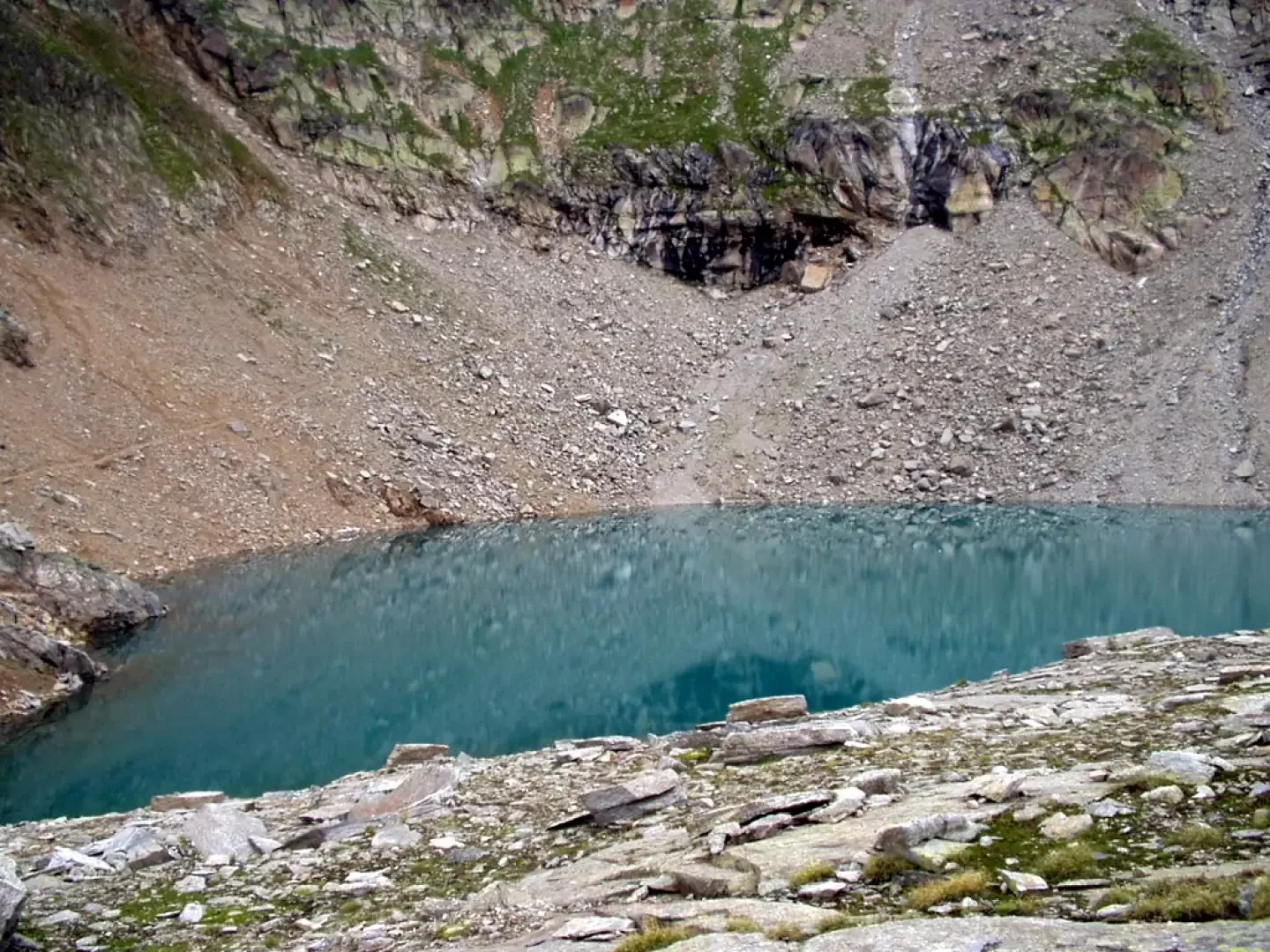
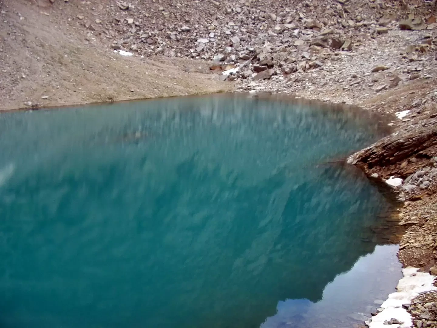
Lillet Lake fills the basin to the south of the steep walls of the Mare Percià, between Colle della Terra and Colle della Porta. Fauna typical of the Gran Paradiso National Park can often be observed in its vicinity. To the south, there are great views of the Levanne.
.Description
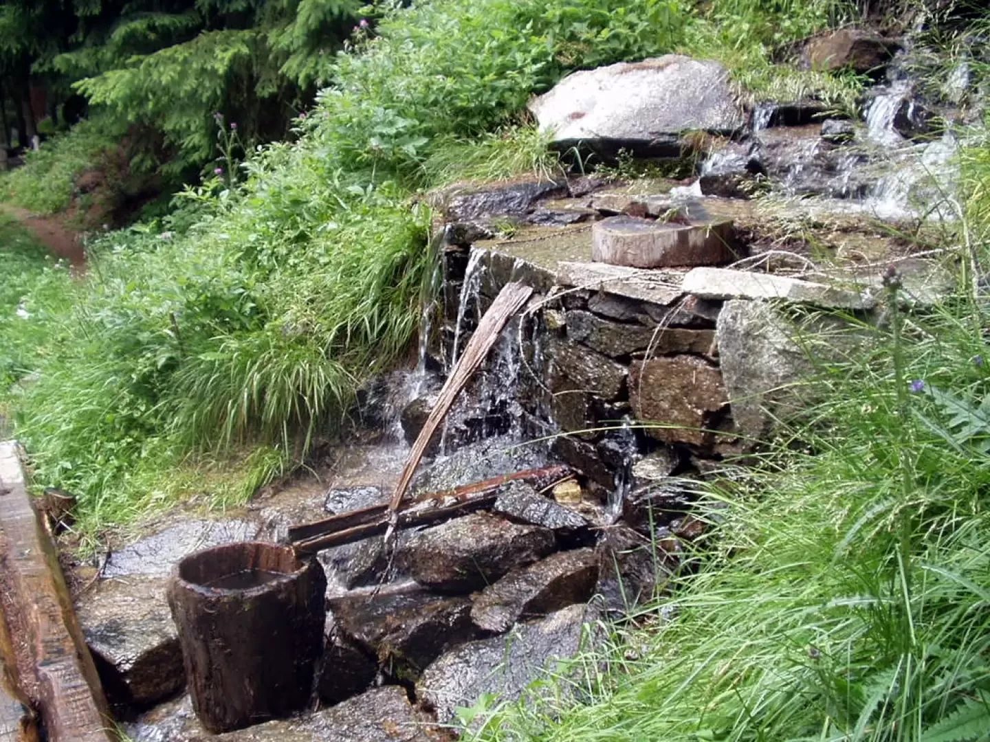
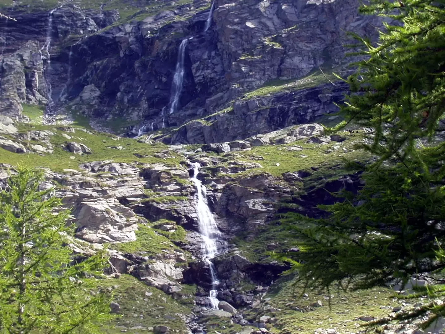
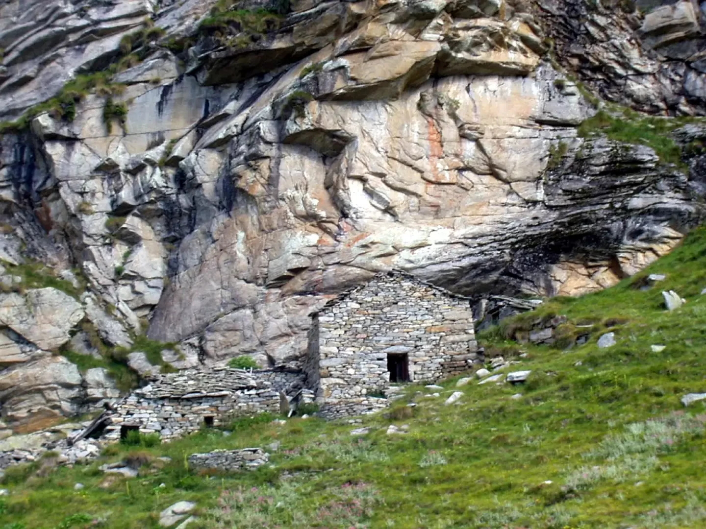
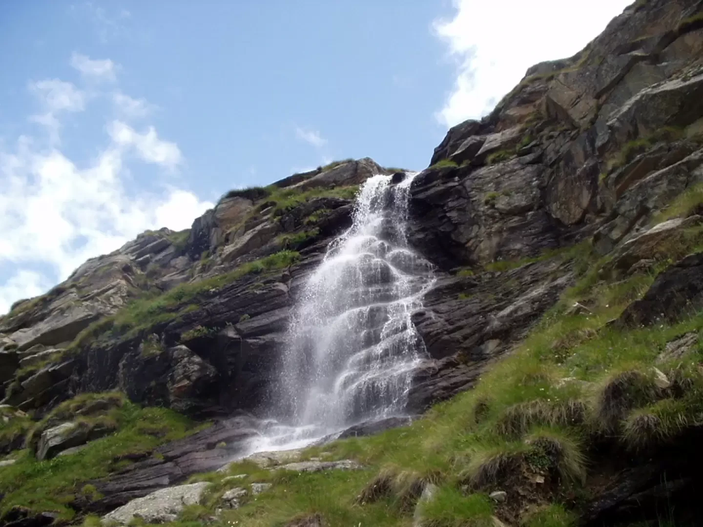
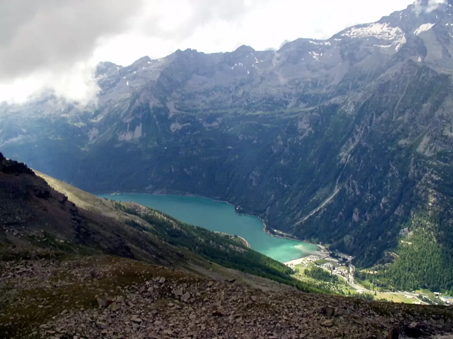
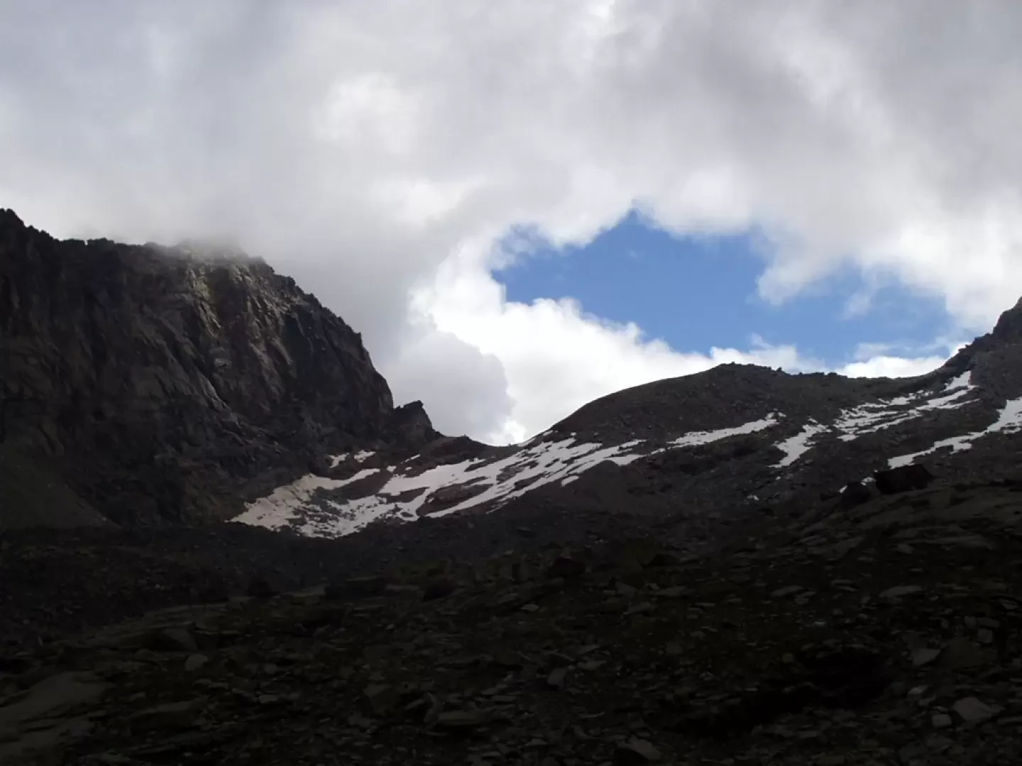
From the car park, go up briefly along the left bank of the Rio Pisson stream to the Gran Paradiso Nature Park signpost and the beginning of the signpost. Having entered the larch and fir wood, climb up to a footbridge near a water intake. The track, in the now slightly sparser wood, bends to the left towards the splendid waterfalls of Alpe Pisson (2082m, 1h10') and, after a characteristic paved section, takes you right to the base of a rocky drop. By hairpin bends, the trail climbs to the plateau above, ignoring two detours to the right for the Cialme hut and Alpe Maon, and reaches Alpe Melliet with striking views of Lake Ceresole below. The trail now crosses smooth rocks and a few streams to the ruins of Alpe del Medico. After circumventing another rocky strip, some steep stretches on grass and rocks follow until a second plateau with a few small lakes from which there is a magnificent view southwards towards the Levanne, the Jervis hut and Alpe di Nel. The path climbs up through the grass, ascends a band of boulders and joins the royal hunting road to Colle della Porta. Taking the left in a few minutes, you are at the magnificent Lake Lillet (2765m, 2h55'). The descent is by the same route: descend to Alpe Pisson (2082m, 1h25') and through the forest to the starting clearing (1599m, 2h20').
General Information
Path: , from Mua
Signposts:
/ AVC
Type of route:partially circular
Recommended period: June, July, August, September, October
- G. Berutto, Il Parco Nazionale del Gran Paradiso Vol. 1, IGC, Turin, 2000
Riferimenti Bibliografici
- Il Parco Nazionale del Gran Paradiso Vol.1 - Giulio Berutto - IGC, Torino, 2000
Photo gallery

Comments (0)
Sign in to leave a comment