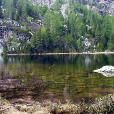
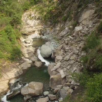
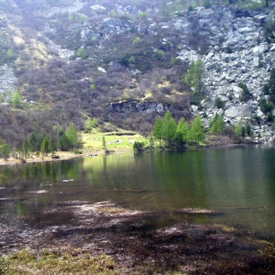
Lac de Panaz, from Pont de Gorf
Introduction
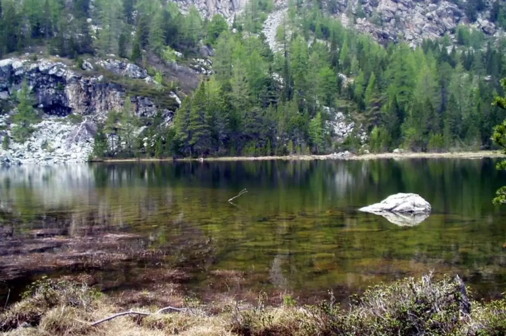
The Lac de Panaz (Pana Lake), which originated from glacial excavation, is populated by numerous hygrophilous plant species, i.e. wet-loving, and hydrophilous, i.e. living in water. The itinerary to reach it is almost entirely in beech and pine forests and is embellished with information boards and posters of the [[Mont Avic Regional Park]].
Description
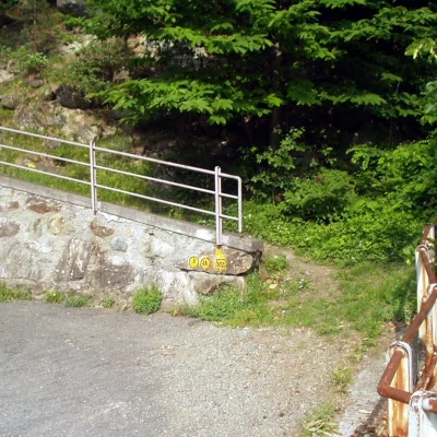
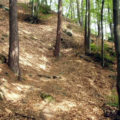
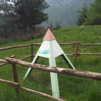
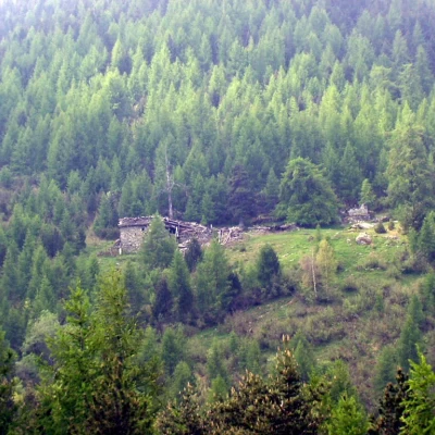
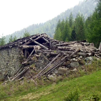
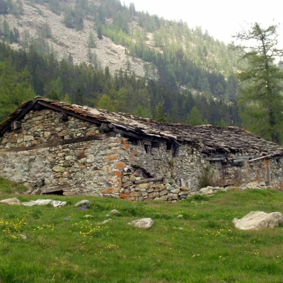
After passing Pont de Gorf (625m), climb to the right into the coppice forest following the signs (3) / (4A) / (102). After several bends, come out onto the cart track, continue to the right along a hairpin bend and, immediately afterwards, climb up the track to the right. Having rejoined the road again, walk along another hairpin bend and follow the path to the right, which comes out just above, about halfway (985m, 0h45') between the hamlets of Boden and Gettaz. Leaving the marker (4A) on the right, go up the path to the left, initially overgrown with vegetation, which, after crossing a grassy slope and crossing a Mont Avic Park sign, enters a beautiful beech forest. The itinerary climbs in hairpin bends through the dense forest, passes a landslide, and continues through a sparse coniferous forest to a grassy glacial terrace (1617m, 2h25'), near a signposted pyramid and a large erratic boulder. In view of the Quicord alpine pastureland, cross the terrace and climb up to the ruins of the same name (1654m, 2h35') (note that the Quicord alpine pastureland has slabs of calcisto as a covering, which are not found locally and are therefore transported there with great effort). Climb to the right beside a stream to the junction with Panaz and the forest use bivouac (1824m, 3h05'). Neglecting signs (3) and (102) / (3B) on the left, proceed through the pines to Lac de Panaz (1865m, 3h25'). The return trip follows the same route: descend to Quicord (1654m, 0h35') then along the road between Boden and Gettaz (985m, 1h45') and finally to Pont de Gorf (625m, 2h 20').
.