Fort of Orino, from Via Belvedere


Edited by:
Maria Grazia Schiapparelli
Updated at: 15/12/2025
Access
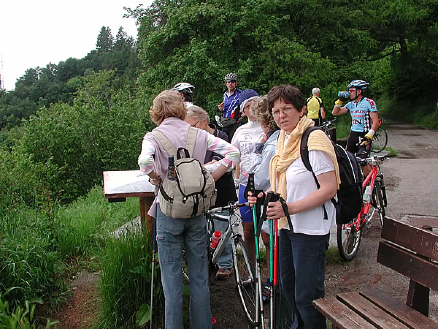
Take the Milano-Laghi motorway and exit at Varese; follow the signpost for Gavirate, and from a certain point onwards a tourist sign with white lettering on a brown background will appear along with the other road signs indicating Campo dei Fiori and Sacro Monte: to get to the starting point of our excursion, we pass the entrance to the Sacro Monte di Varese, so just follow one of these signs; the road becomes narrower and narrower, but always asphalted, goes up the mountain, through beautiful woods, and continues as far as the no-entry sign; park where you can or a little further down, past the bar, which is on a side street, on the right going up.
Introduction
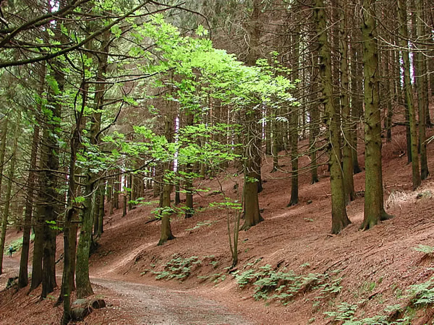
In the park, there is an astronomical observatory, an area with wild flowers, various animals, including 20 of the 30 bats present in Europe (there is a specific project for their protection), and a very small beetle, the Duvalius Ghidinii, only 4 mm long, a survivor, because it is 300 million years old, and it escaped the glaciations and the subsequent covering of the Po Valley by the sea, since the tip of Campo dei Fiori was out of the water like an island; the terrain is karstic, it precipitates on the northern slope, is gentler in the south, has as many as 130 registered cavities, with a total development of 30 kilometres; at the beginning of the 20th century, Campo dei Fiori was reforested with spruce, trees that, although they have reached a considerable size, are now diseased. Where they fall there is a canopy, i.e., a space where light filters through, and taking advantage of these gaps, more resistant species are being replanted, hazelnuts, cherry trees, In the upper part, the one we pass through, there is beech, and below 600 metres, chestnut, a legacy of peasant civilisation, with woods that have been abandoned for decades, but are being recovered. Santa Maria del Monte, at an altitude of 883 metres, is one of the heights inside the park, where the Sacro Monte is located, which has 14 chapels connected by 2 km of cobblestones; it is a Unesco heritage site, and it is estimated that 60 million pilgrims have passed through here in 300 years. Within the park, the road we travelled was part of the Cadorna Line, the system created by General Cadorna to defend against a possible attack by Germany through Switzerland. Along this road, which runs just below the summit, passes the E1 path, which connects Cape North, Norway, to Sicily, the Jubilee path, which was travelled by pilgrims reaching Rome from the north, and the 3V, Via Verde Varesina, a trekking route that allows us to visit the Varese lakes area and the pre-Alps in several days. In addition to these main routes, there are 18 signposted paths. At the main points there are boards explaining the itinerary to be followed and the special features of the area.
Description
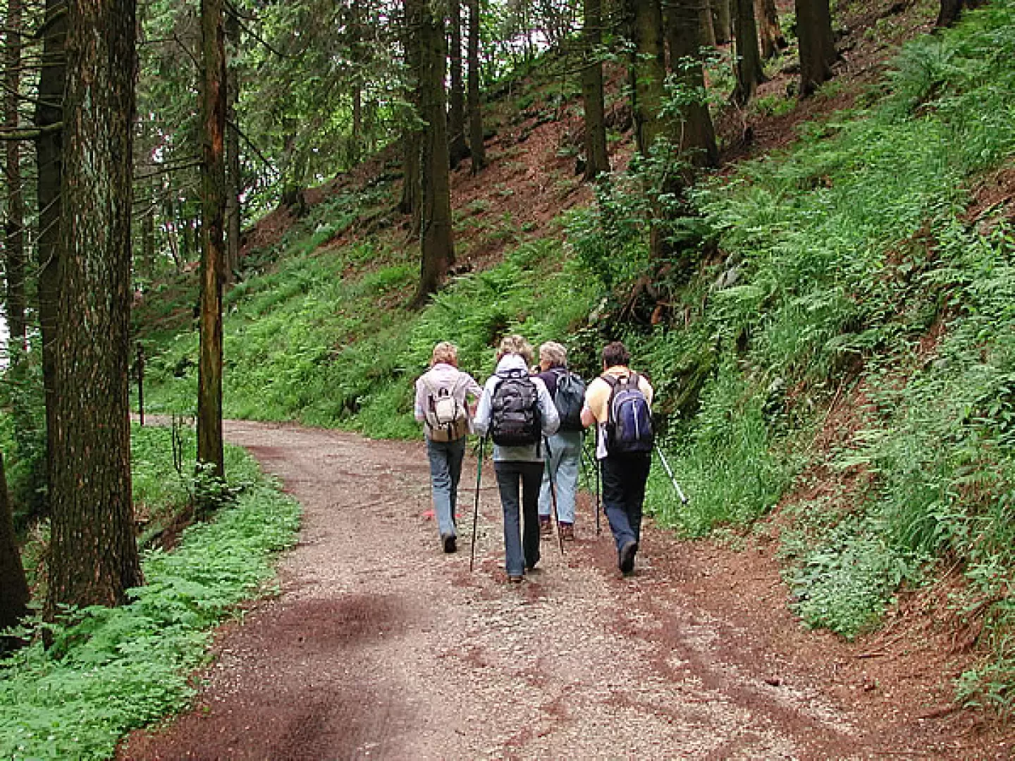
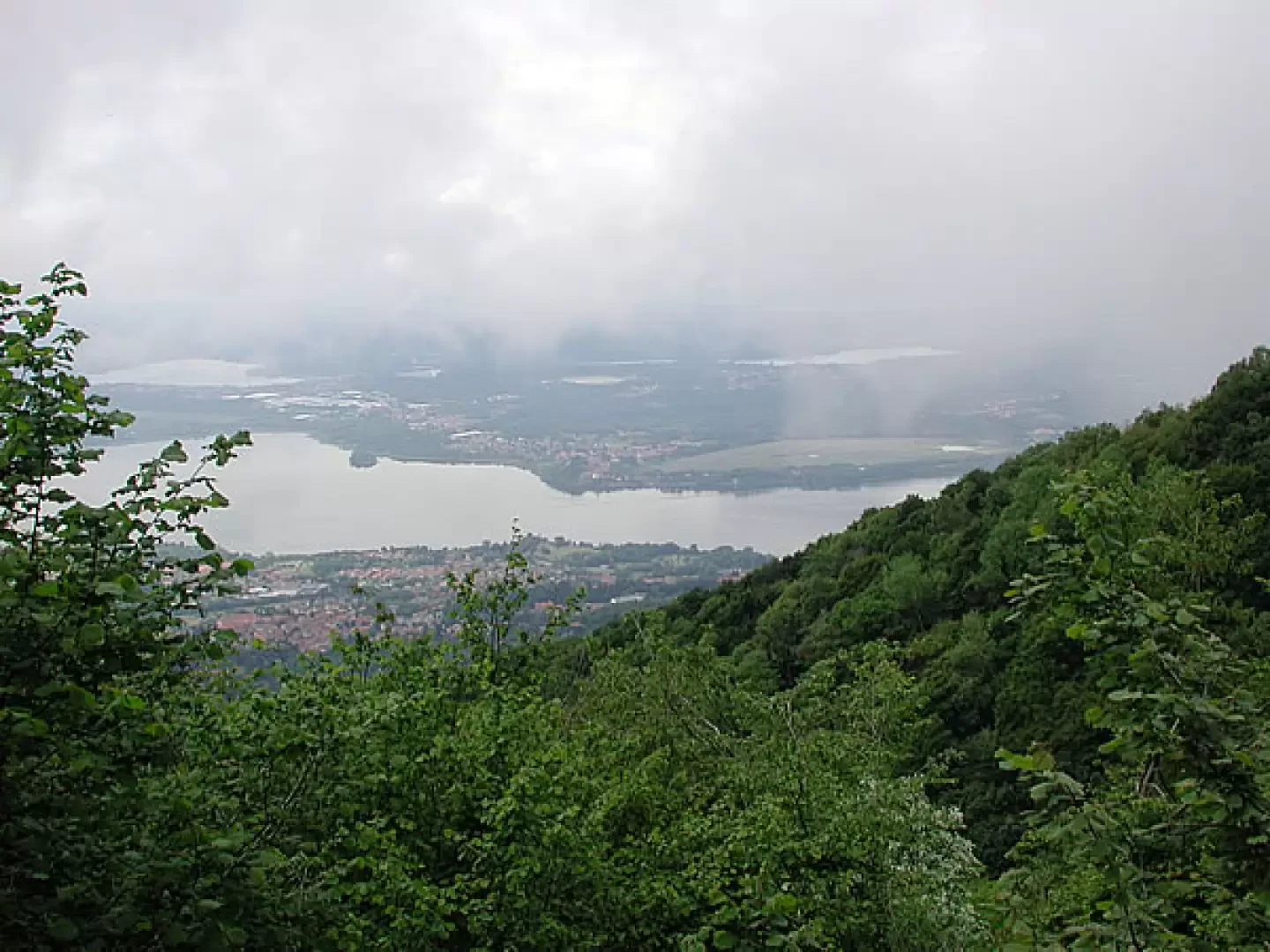
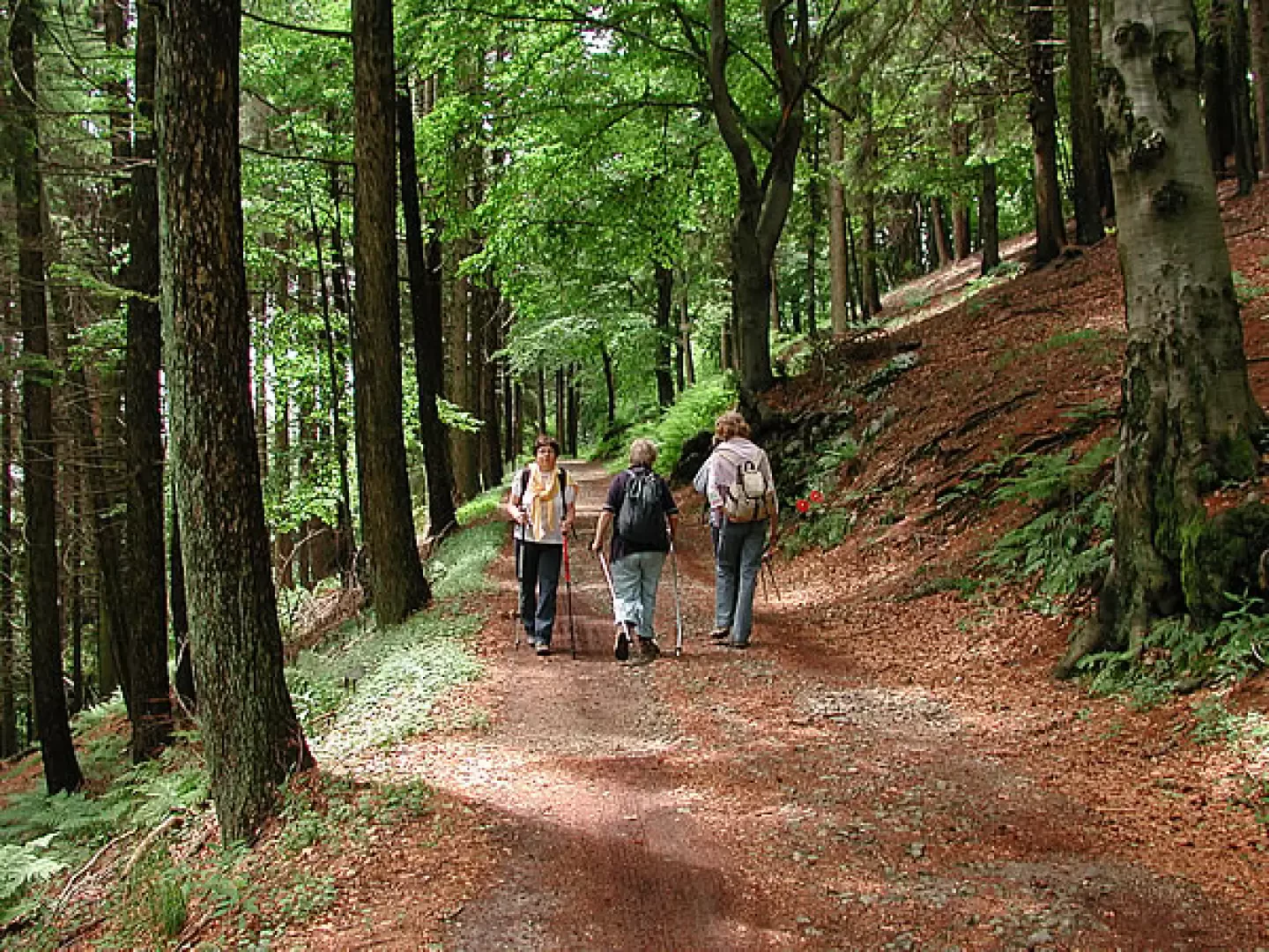
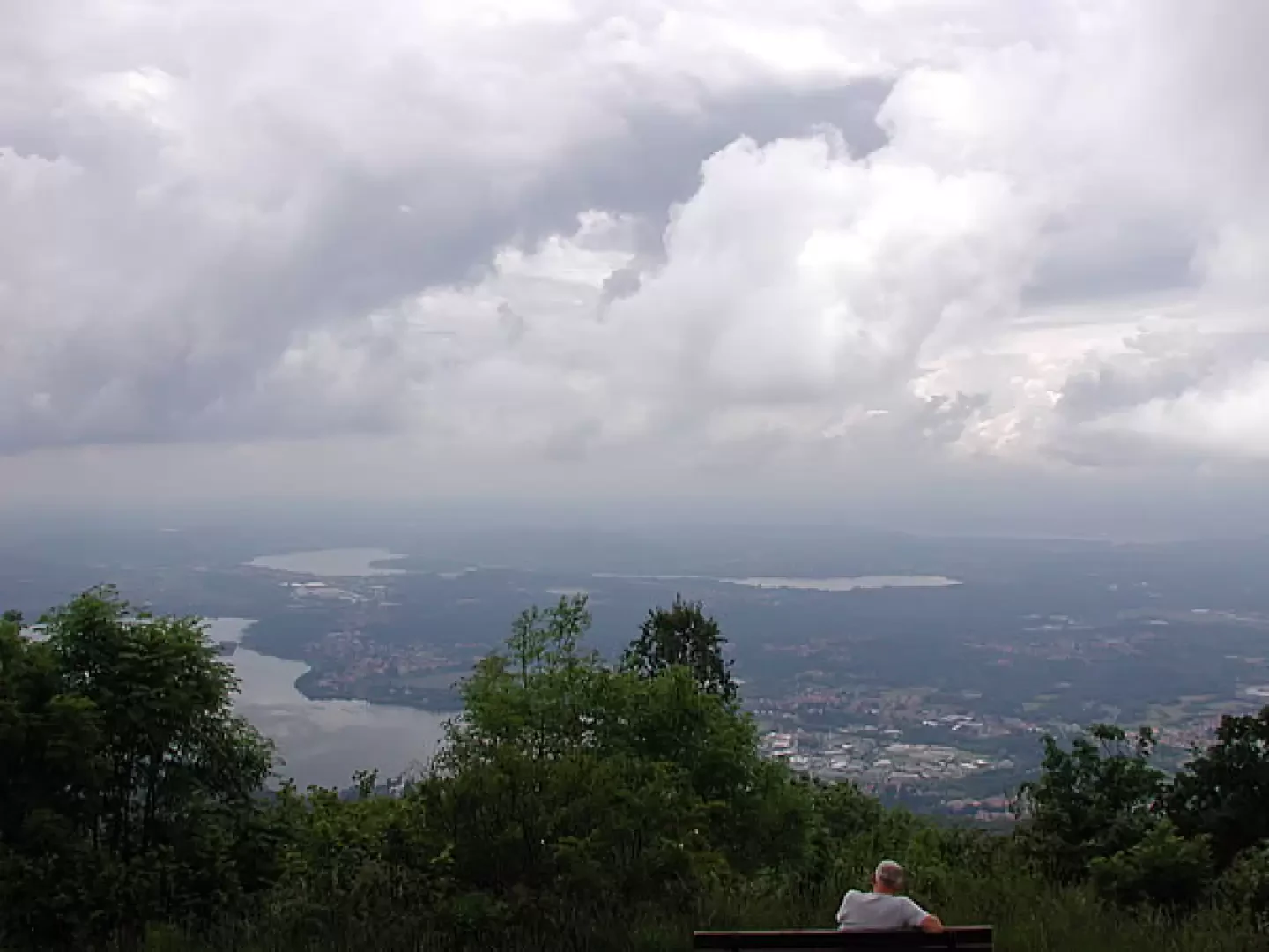
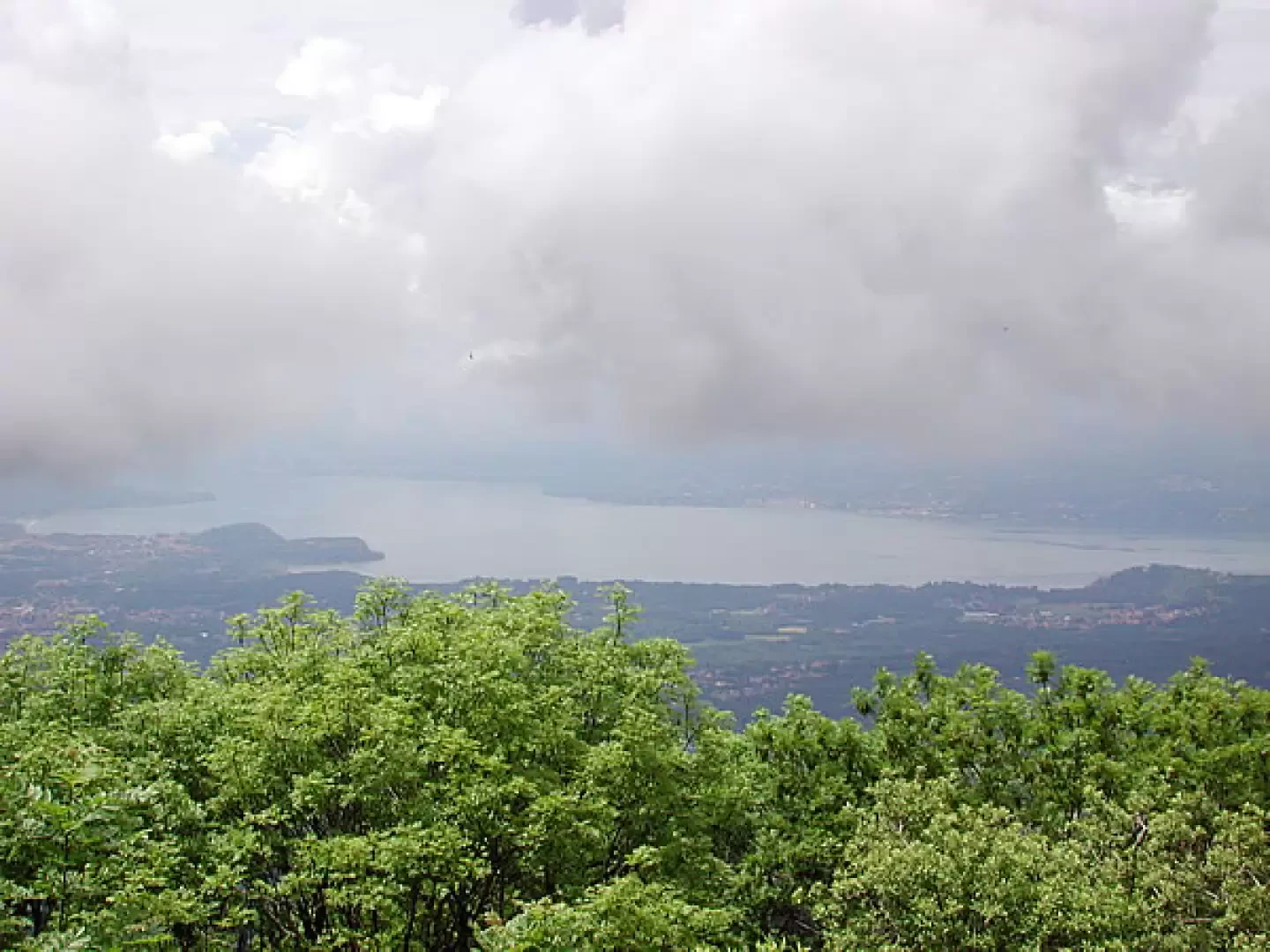
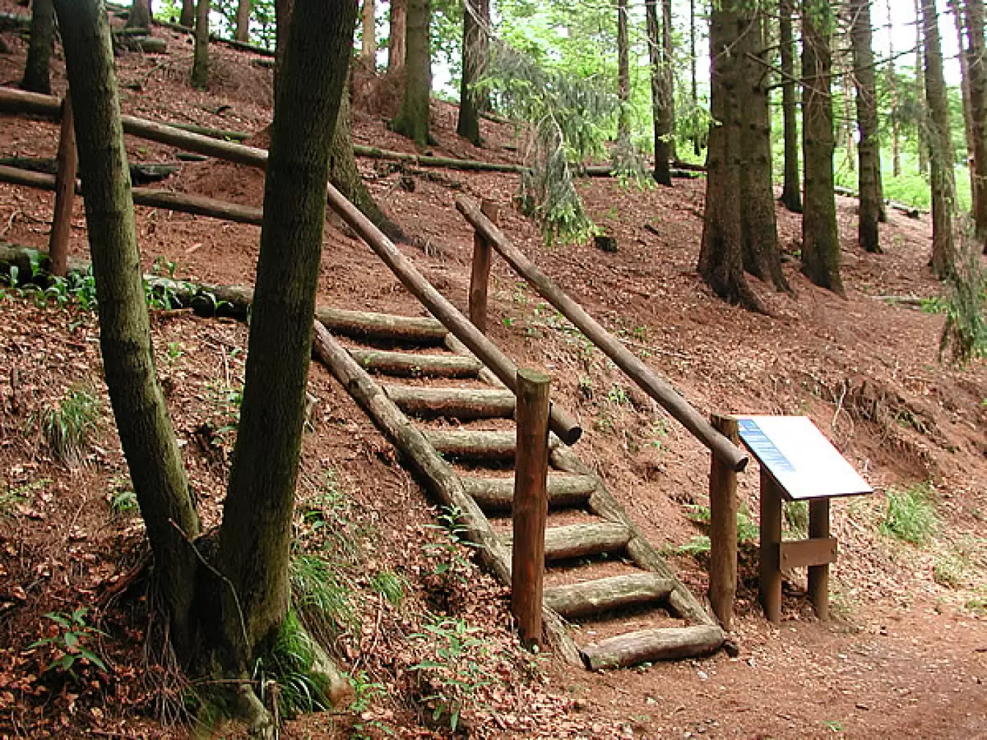
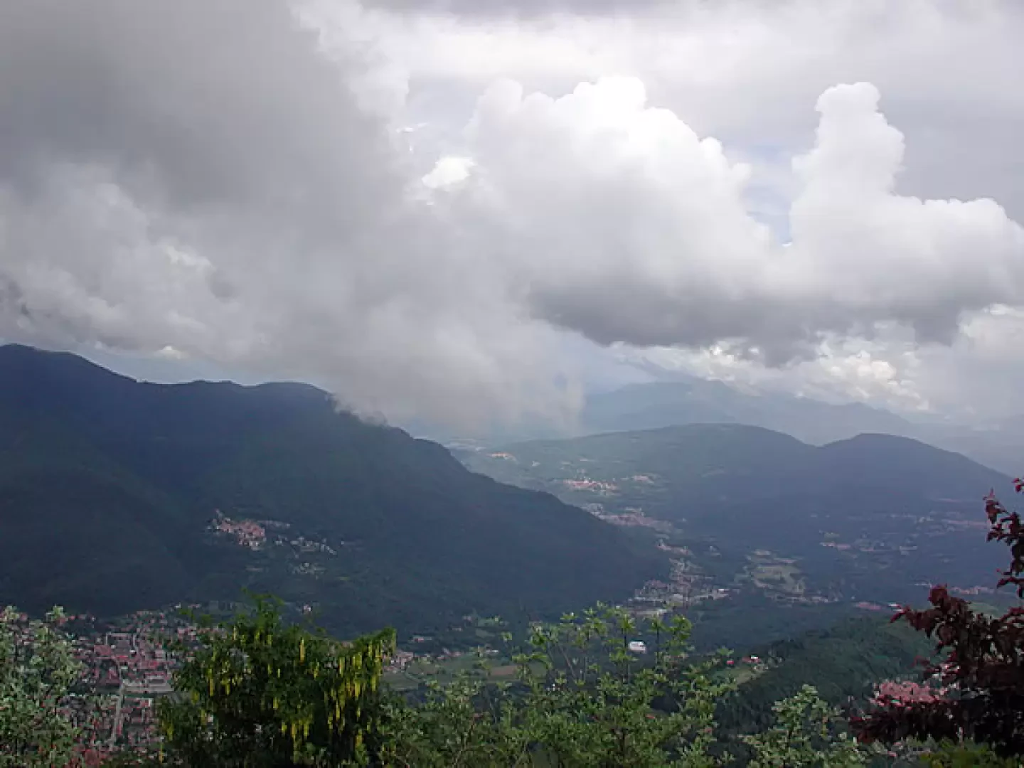
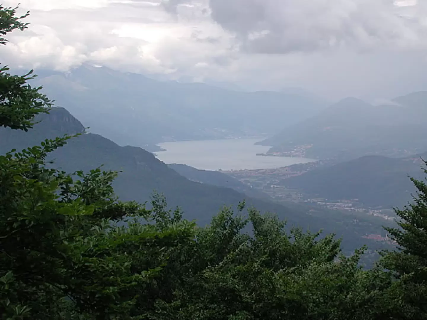
Leaving the car (1060 m), continue along the path , Prima Cappella forte di Orino, which cuts across the hairpin bends of the road, until you reach the asphalt road again, where there is a no-entry sign; walk along the road, which shortly arrives at a beautiful panoramic widening; to the right, the asphalt road continues to the Observatory, about one kilometre away, and 150 metres of difference in altitude; here too, after a while, there is another panoramic terrace, but facing north. Once you reach the observatory amidst various flowers, you climb up to the terrace with a 360-degree view; unfortunately, we encountered unfavourable weather, so more than seeing, we imagined... From the first panoramic widening, the road becomes a dirt road, we are on the old Cadorna. The route goes through splendid woods, practically flat or slightly uphill; the caves are well signposted, as are the paths up to the Punta di Mezzo, and those that descend; we always walk under the trees, but the ground below is steep, so we can see the lakes at times; in addition to the red pine, there are many beech trees, and carpets of lilies of the valley. We meet many people running, others on MTBs. From the car to the Orino fort is about 5 km; the spot is very scenic, with a 360-degree view, there are benches and a madonnina placed by the CAI of Gavirate in a niche topped by a cross, as well as what remains of the defensive fort at this point of the Cadorna line; a few hundred metres before the end of the dirt road, to the right, some steps lead to a path that is a deviation from the main route; Along this path there are several tables with explanations; it is very narrow and not very well-trodden, but by following the red and white signs you can easily walk along it, coming out on the terrace of the Orino fort, where a board indicates all the mountains that you can see from there, if there are no clouds that we found... (1139 m). From Monte Rosa to the peaks above Saas Fee, to the Jungfrau and Val Formazza peaks, and no less than 7 lakes. Descent: from the terrace, descend along the dirt track and continue on the ascent route.
.Photo gallery
Comments (0)
Sign in to leave a comment