Col Rosset, from the Thumel car park


Edited by:
Ivano Ruffoni
Updated at: 25/08/2025
Access
At the Saint-Pierre (Aosta West) exit of the A5 motorway, continue in the direction of Courmayeur. After passing Saint-Pierre you reach Villeneuve, where you cross the junction for Val di Rhêmes. Continue up the Val di Rhêmes regional road, passing the municipalities of Introd, Rhêmes-Saint-Georges and Rhêmes-Notre-Dame. Continue along the bottom of the valley, passing Pélaud, and reach the large car park just before the village of Thumel (1886m).
Introduction
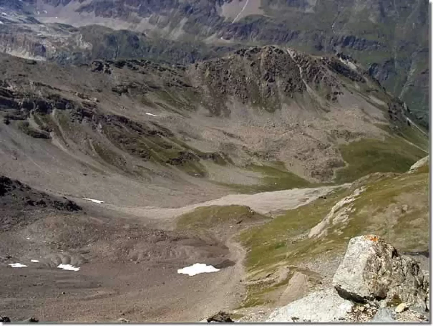
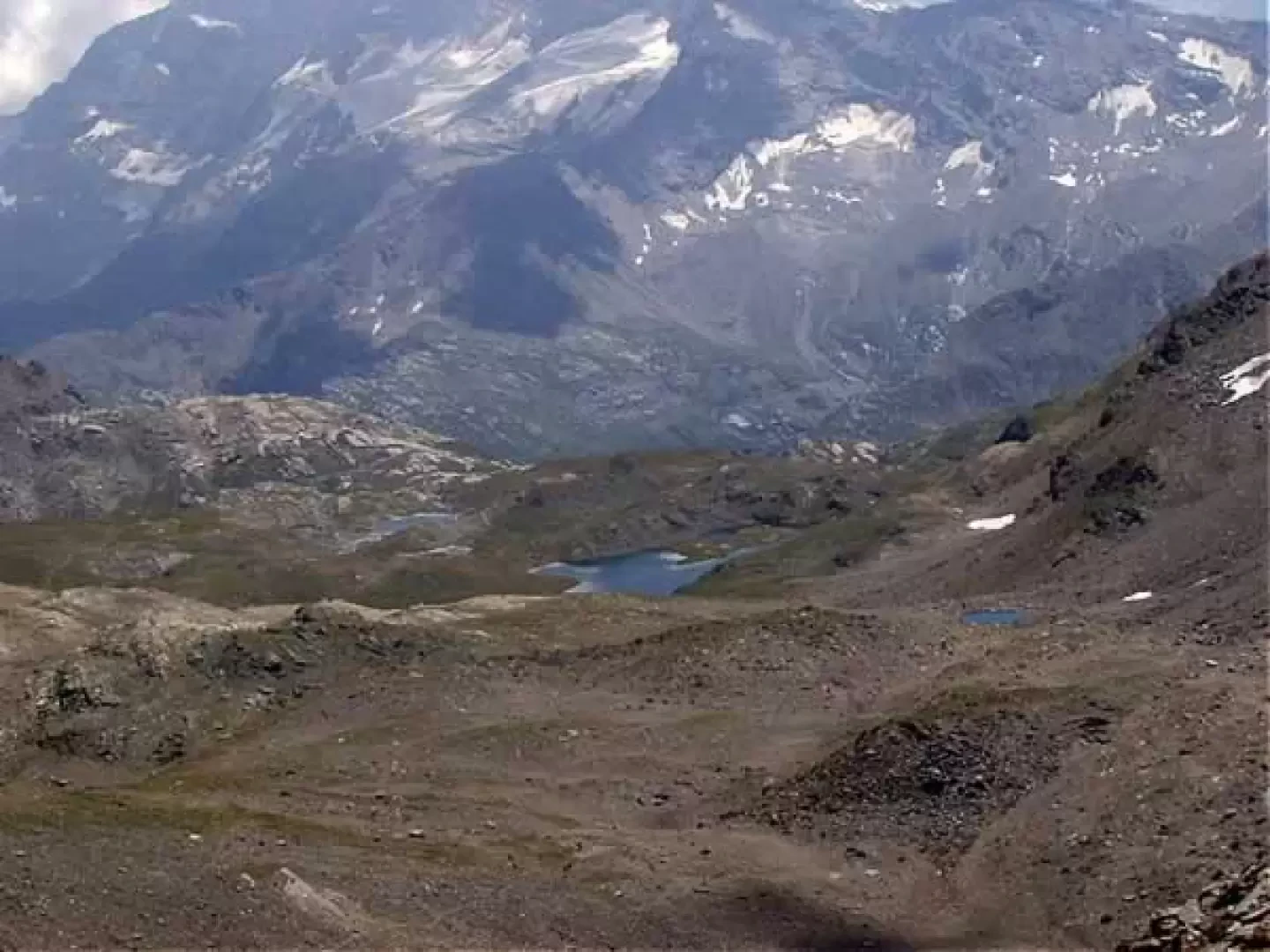
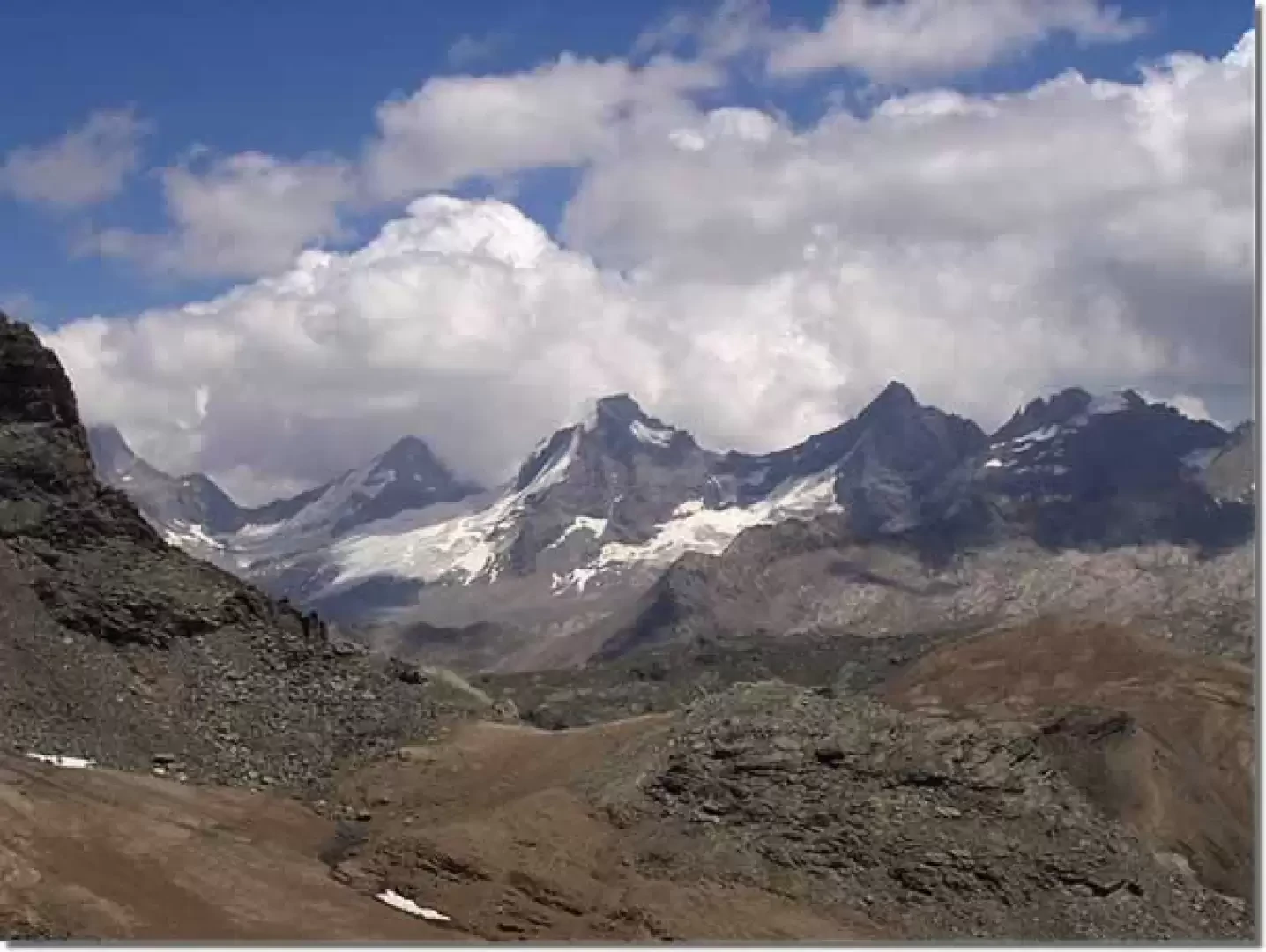
The proposed itinerary is one of the classic excursions in the Rhêmes Valley. The first section, almost as far as the Benevolo Refuge, takes place near the bottom of the Dora di Rhêmes valley; the central part leads back to the Grand Vaudalaz valley and the final part, as far as Col Rosset, takes place on a strenuous scree slope. From Col Rosset there is a fine panorama of the small lakes lying along the Rosset plain and the peaks to the south of Gran Paradiso.
.Description
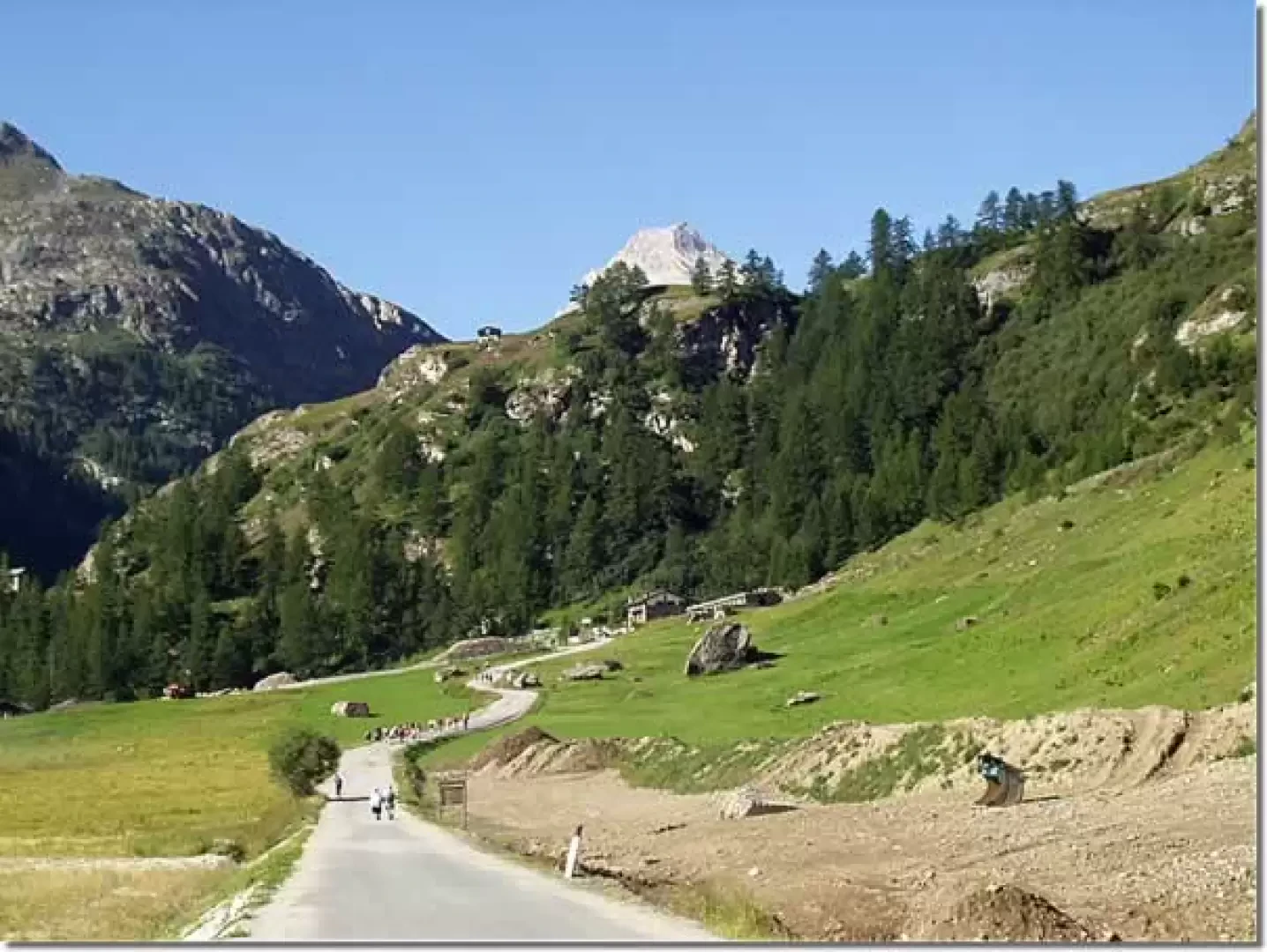
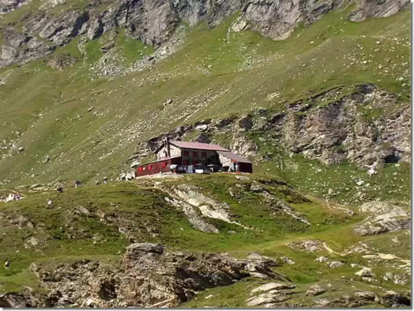
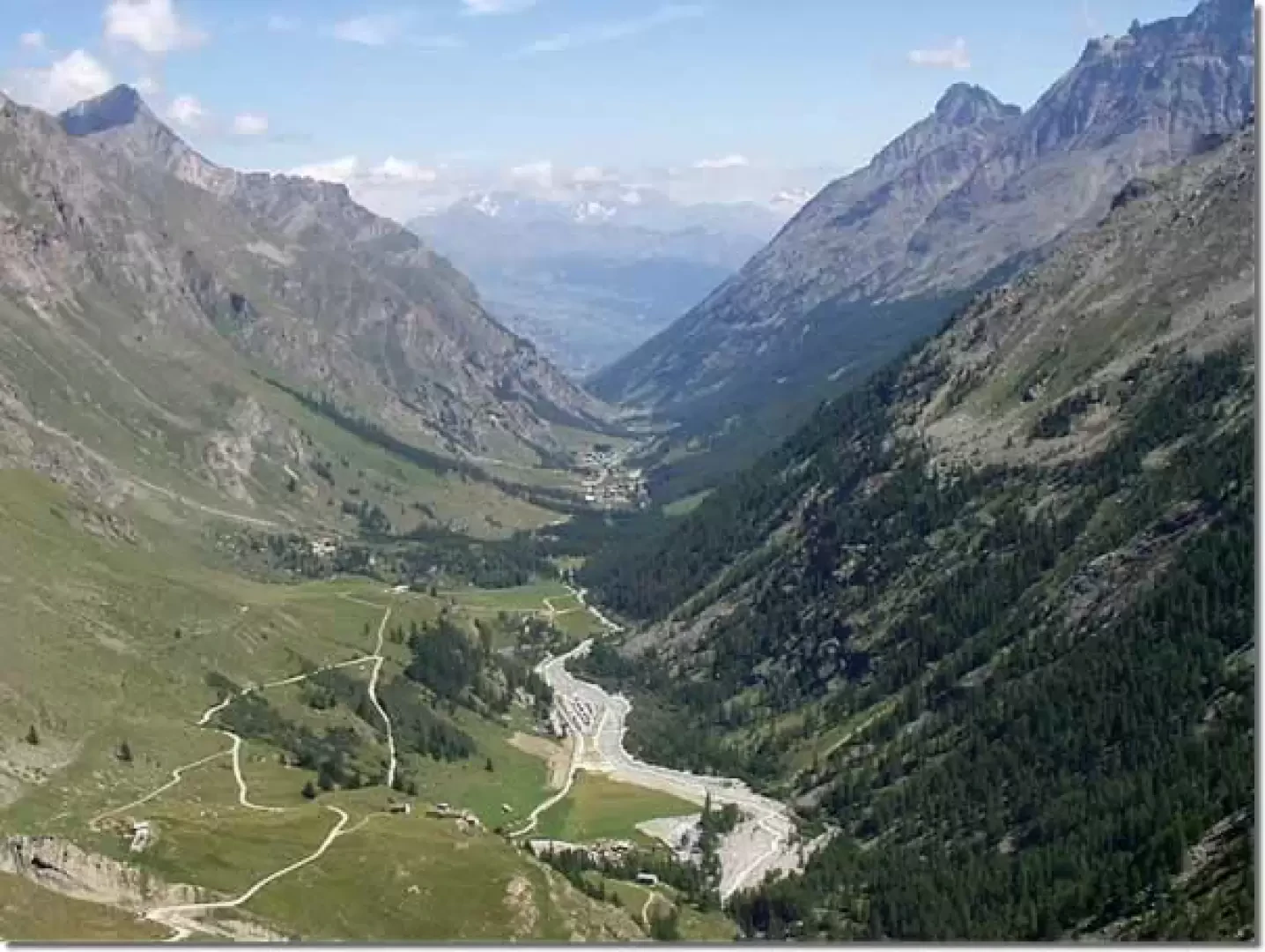
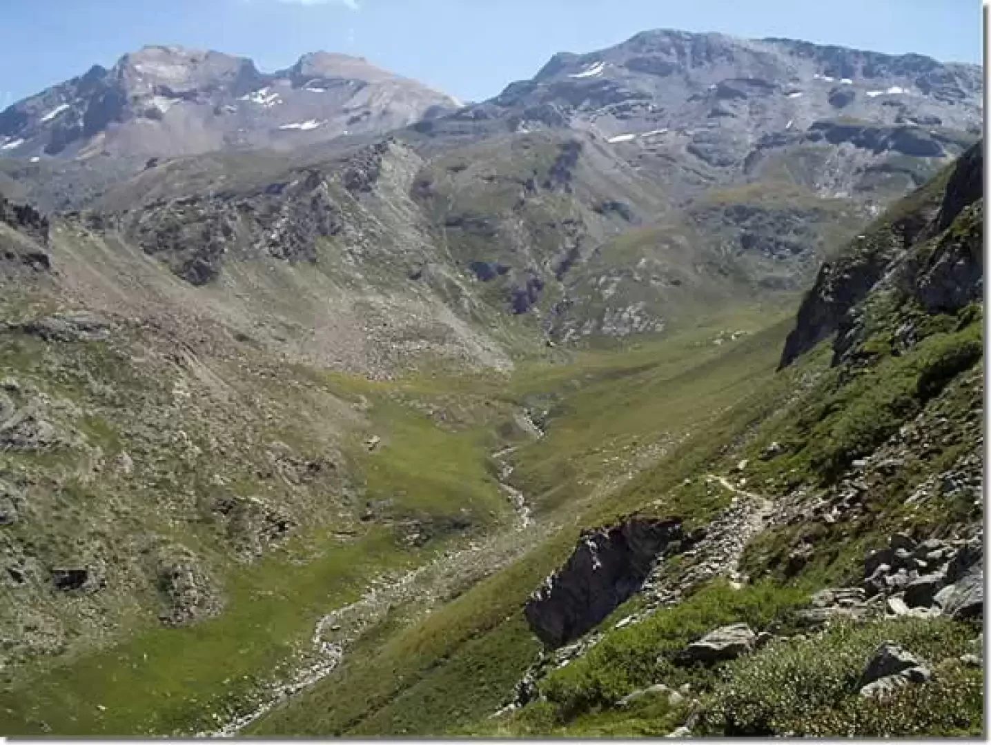
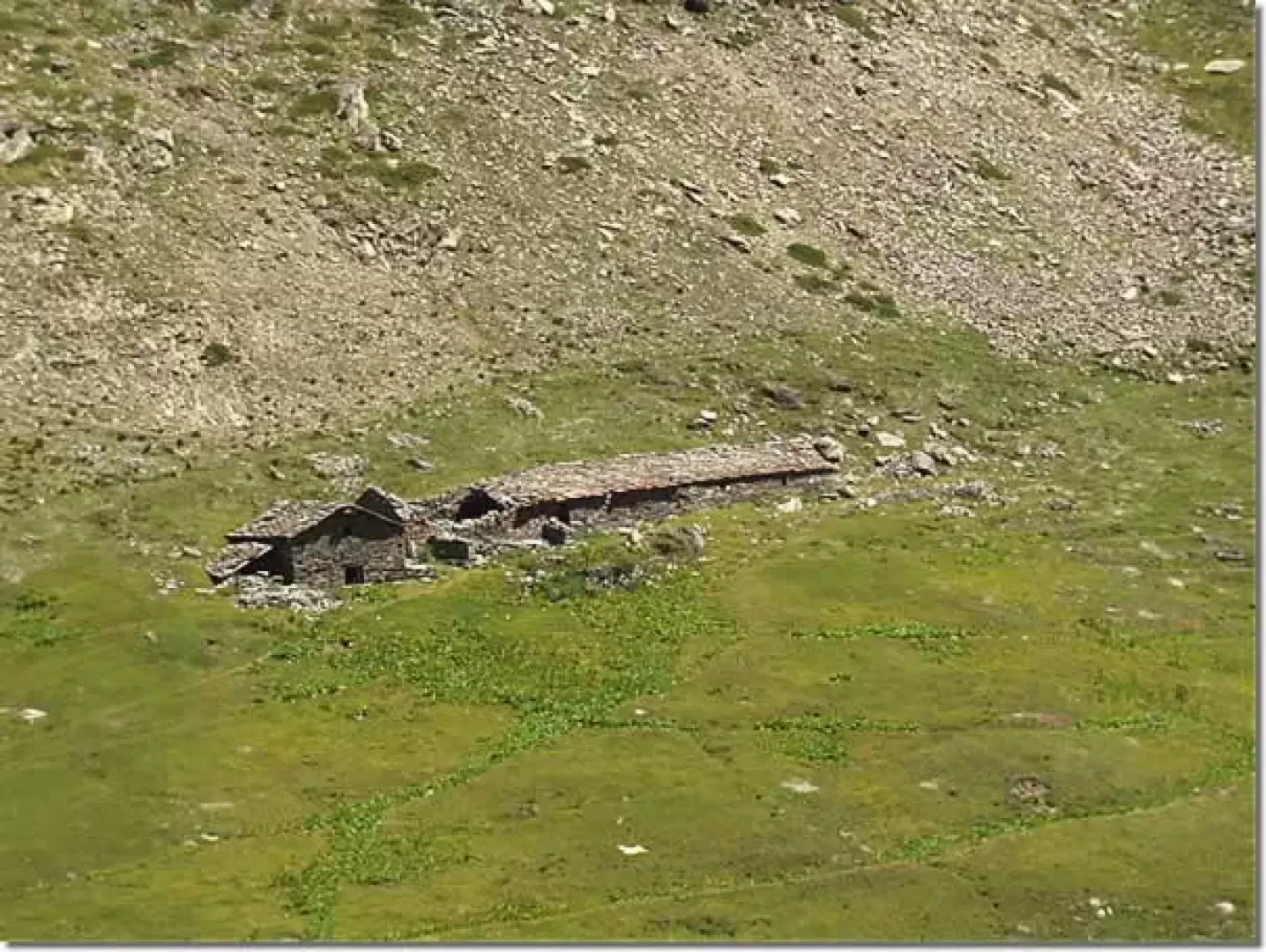
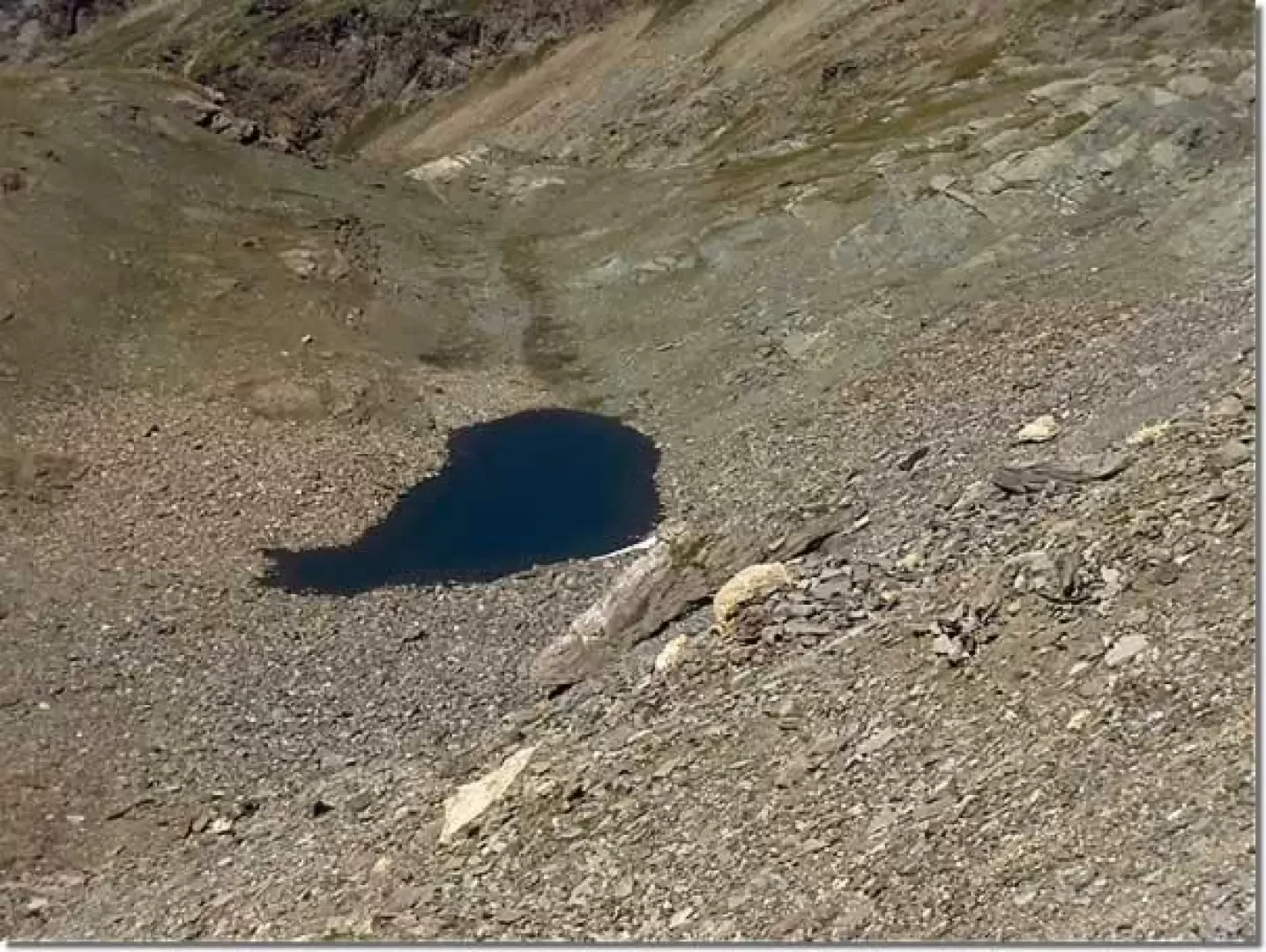
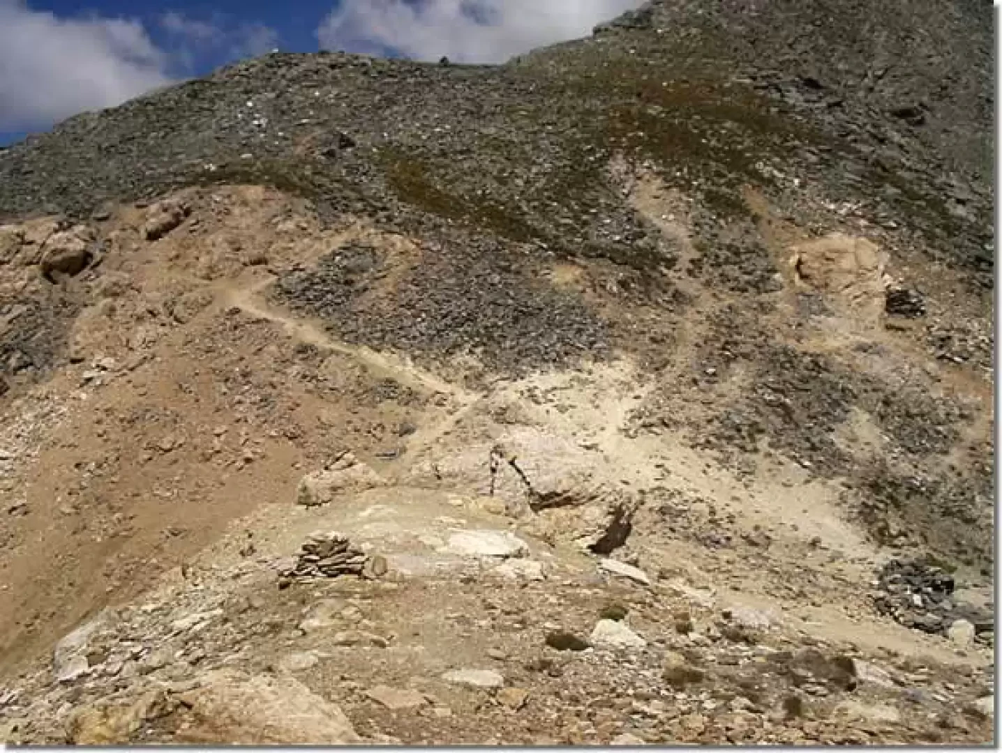
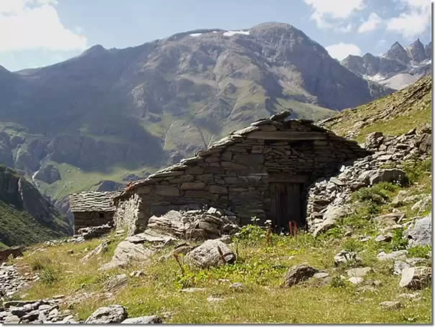
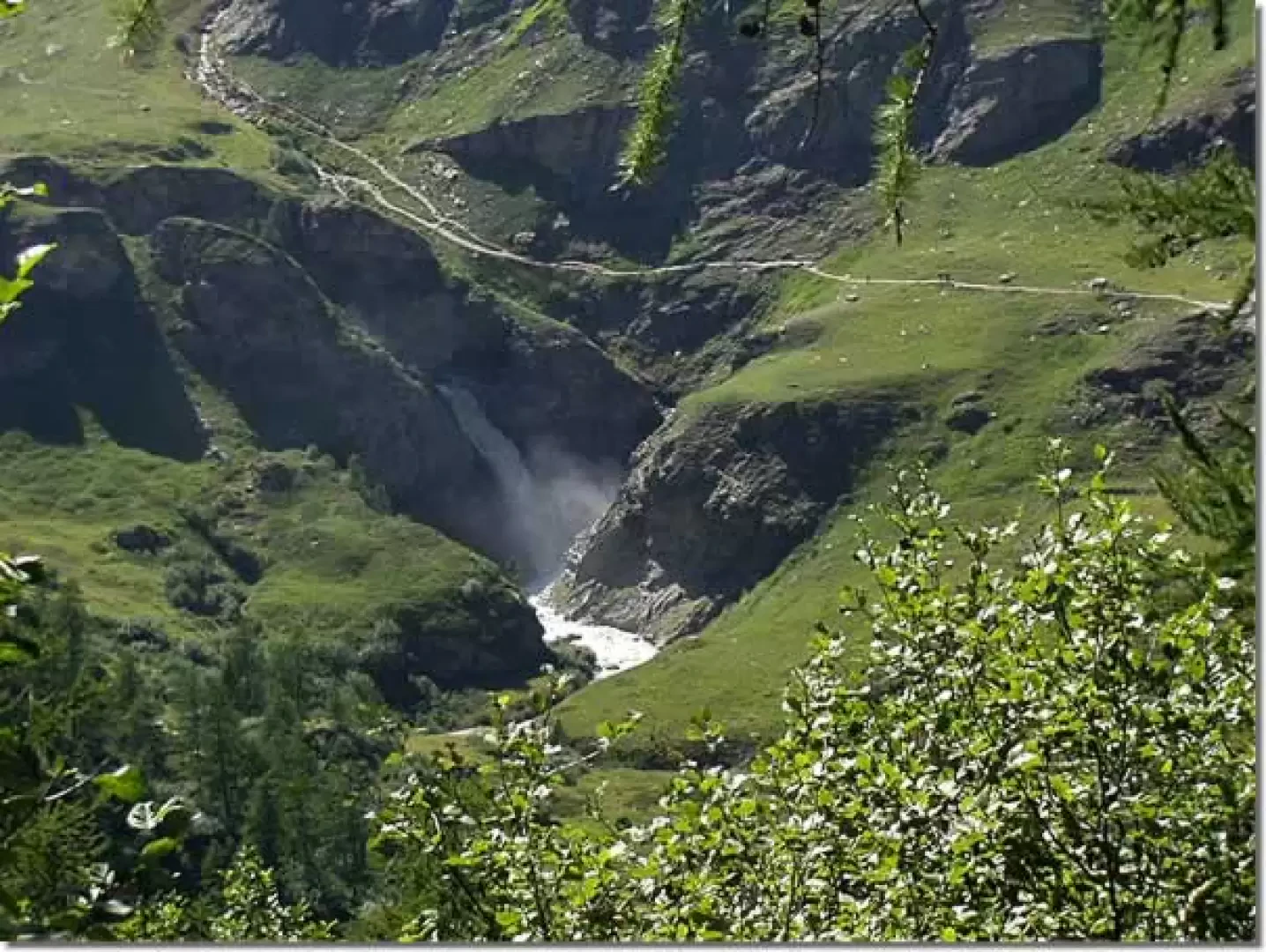
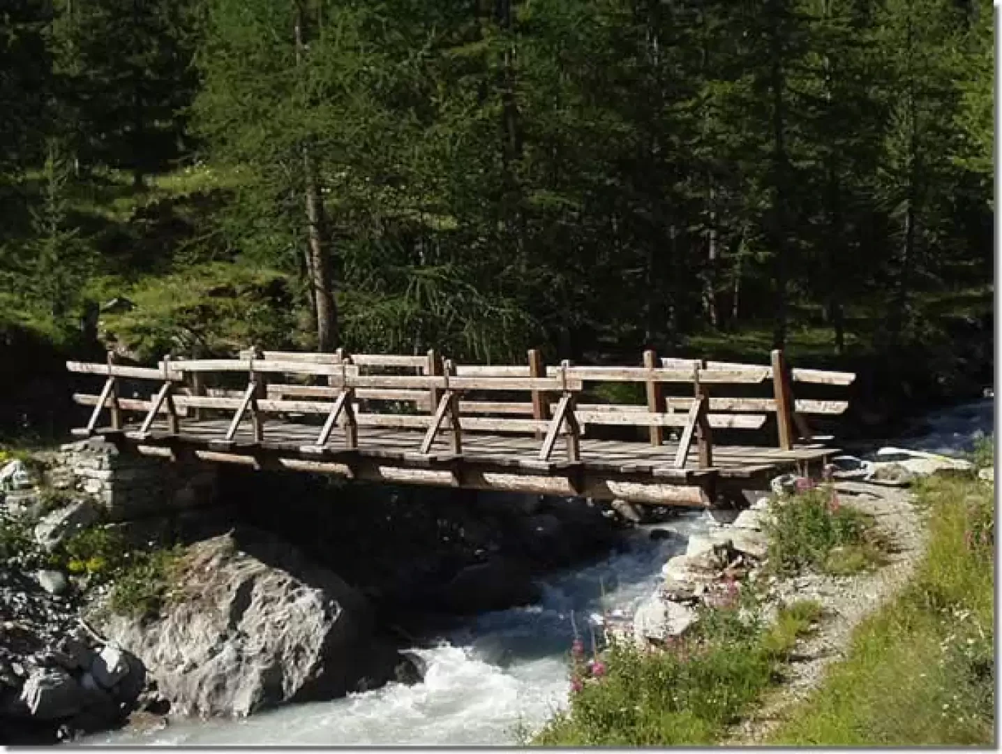
From the car park (approx. 1854m), take the tarmac road towards the village of Thumel (1886m) and from here follow the clear signs for the Benevolo Refuge, path (13). Near one of the last hairpin bends of the dirt road, before the Benevolo refuge (2285m) and shortly after the Montagne Lavassey (2227m), you will cross the signpost for Vaudala and Col Rosset, trail marker (13A), on the left (approx. 2230m; 1h10'), on a rock. Take this path and, after a long diagonal on the beautiful grassy slopes and crossing several streams, you will reach a panoramic ledge (2407m). At this vantage point, stop to observe the Rhêmes valley and the final part of the Grand Vaudalaz valley. A second long diagonal descent leads close to the Grand Vaudalaz stream, just above Alpe Grand Vaudalaz (2338m; 1h55'). Taking the right orographic bank of the valley, climb up the path, marker (12), which still proceeds through meadows and around some large boulders to the base of the final scree slope descending from Col Rosset. In a severe environment, with numerous steep turns, you climb up the scree, leaving a pretty little lake to your left (observable only from above), and reach the pinkish notch of Col Rosset (3023m; 3h45'). From the pass, there is a fine panorama of the peaks immediately to the south of the Gran Paradiso and the numerous small lakes lying on the Rosset plain. The recommended descent route is to Alpe Grand Vaudalaz (2338m; 1h10') on the same path as the ascent. Then continue on the marked trail (12) along grassy slopes, passing above a characteristic gorge carved out by the Grand Vaudalaz stream, and entering a coniferous forest. By way of steep bends, in places with sweeping views of the waterfalls of the Dora di Rhêmes below, you reach the valley floor and cross the Dora on a wooden bridge (approx. 1965m; 1h 50'). On the opposite side, turn right and, after crossing a grassy plateau, rejoin the marked trail (13). Turning right again, cross the Fos stream by means of the characteristic little wooden bridge protected by chains and retrace the outward path to the car park (1854m; 2h20').
Photo gallery
Comments (0)
Sign in to leave a comment