Col Nivolettaz, from Thumel


Edited by:
Ivano Ruffoni
Updated at: 25/08/2025
Access
Lasciare l'autostrada allo svincolo di Aosta Ovest e proseguire fino all’innesto con la strada statale . Svoltare a sinistra al semaforo e procedere in direzione Courmayeur. Superati gli abitati di Saint-Pierre e Villeneuve, dopo 6,6 chilometri imboccare sulla destra la strada regionale della Valsavarenche, che attraversa rapidamente Introd e, dopo altri 4,7 chilometri, si dirama diventando la strada regionale della Valle di Rhêmes. Risalire la vallata per 14,9 chilometri, oltrepassando Rhêmes-Saint-Georges, fino a raggiungere Bruil, capoluogo del comune di Rhêmes-Notre-Dame. La strada si inoltra nel fondovalle, supera il piccolo villaggio di Pellaud e prosegue ancora per qualche minuto, fino a raggiungere l’ampio parcheggio 🅿️ a pagamento di Thumel, situato all’inizio dei principali sentieri della zona.
La tariffa è di 50 centesimi per la prima ora e di 15 centesimi per ogni ora successiva.
Distanza e tempo di percorrenza
🕒 Tempo di percorrenza: 39 minuti
📏 Distanza: 29,6 km
Navigazione GPS
📍 Come arrivare con Google Maps
📍 Come arrivare con Apple Maps
ℹ️ Nota importante
Le indicazioni fornite sono state verificate alla data del rilievo dell’itinerario. Prima della partenza, è consigliabile verificare eventuali variazioni del percorso. Per ottenere indicazioni aggiornate e dettagliate, si consiglia l’uso di Google Maps o Apple Maps.
Introduction
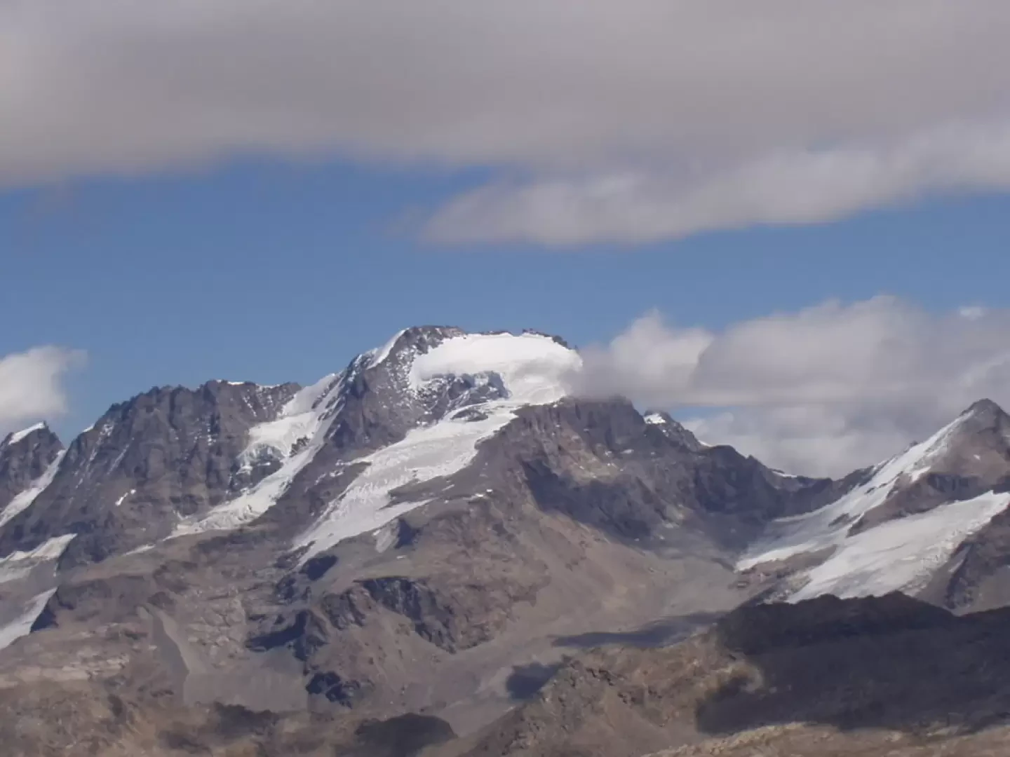
The itinerary towards the Colle della Nivoletta (Col Nivolettaz) is one of the classic hikes in the Rhêmes Valley. The first section, up to the Benevolo hut, takes place near the bottom of the Dora di Rhêmes valley, the central part climbs the grassy rises west of the Punte della Paletta, while the final part is on scree and scree. On the ascent, there are great views of the Granta Parei and the glaciers at the head of the Rhêmes Valley. From the col, on the other hand, the view sweeps over the Basei glacier, the Nivolet lakes and the Gran Paradiso chain.
Description
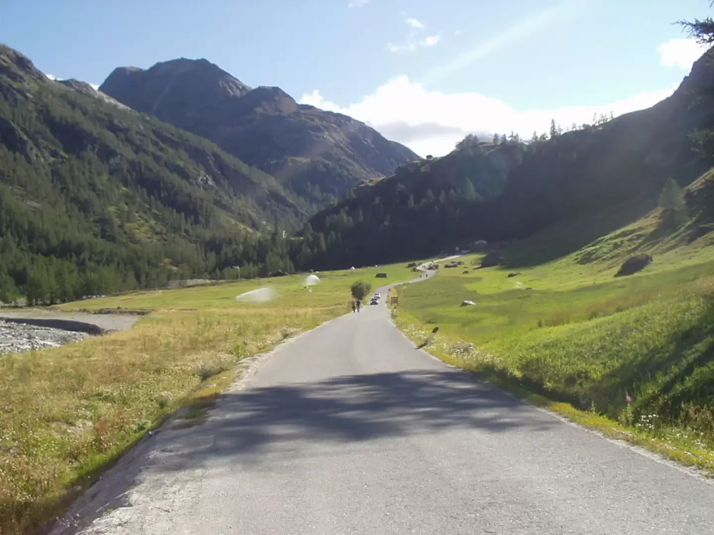
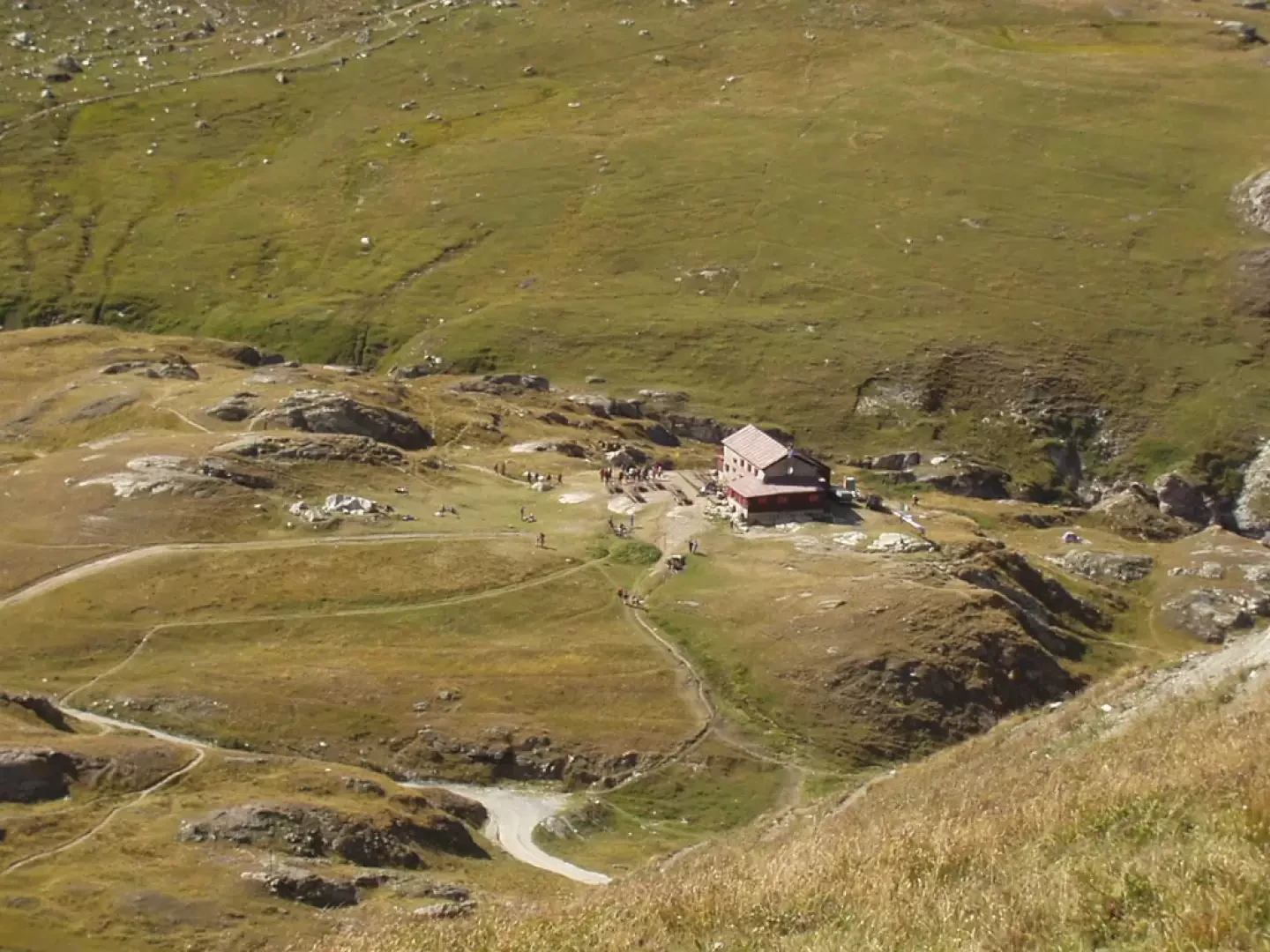
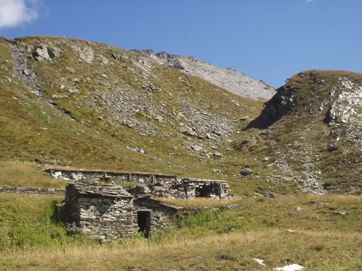
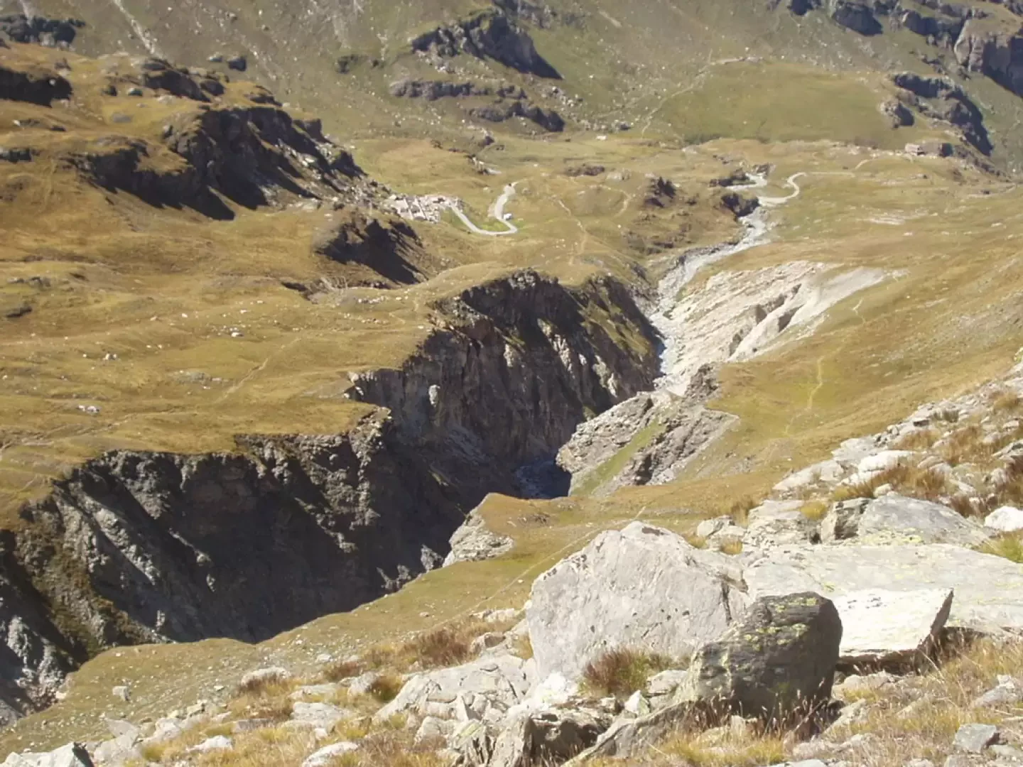
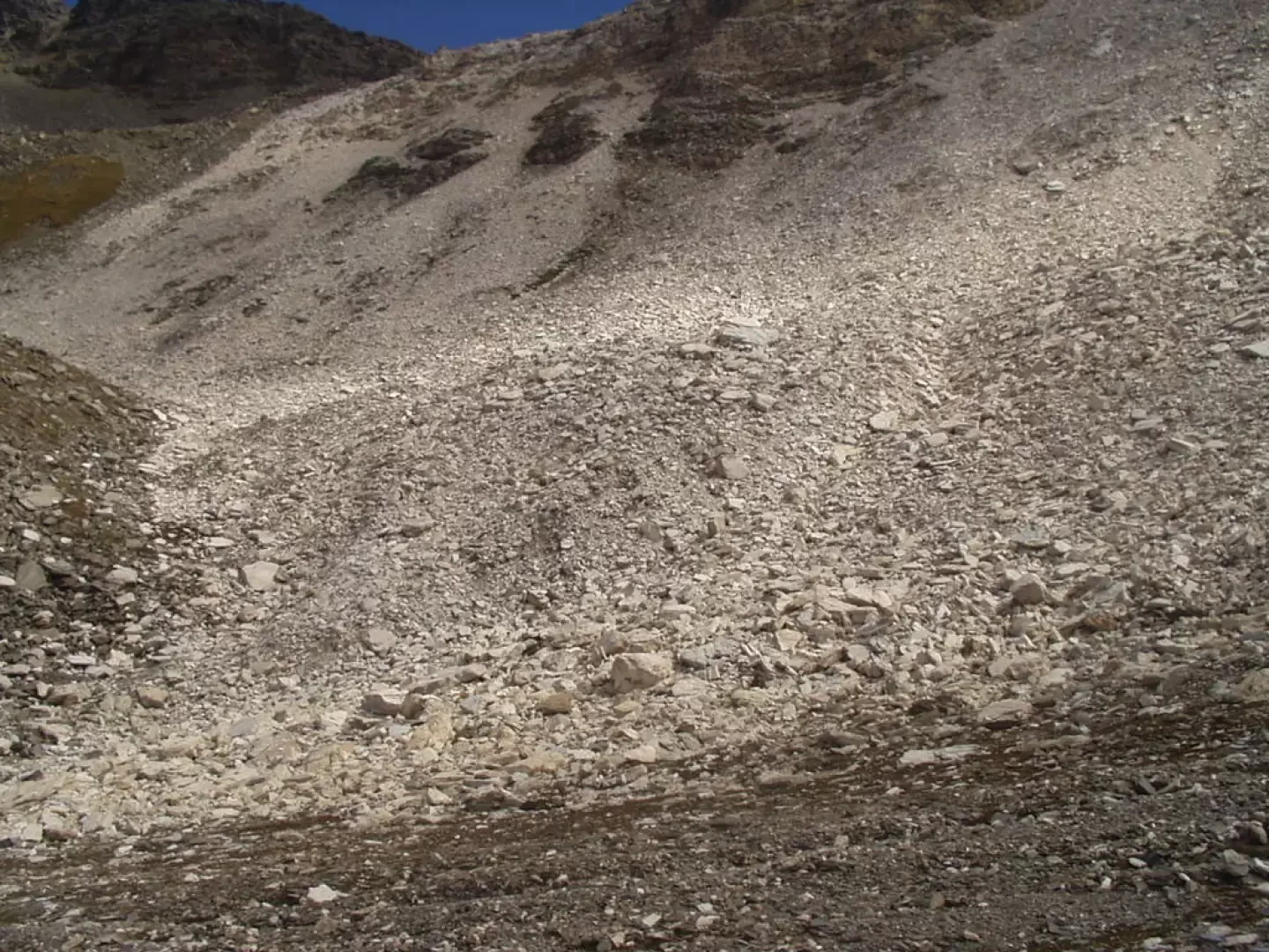
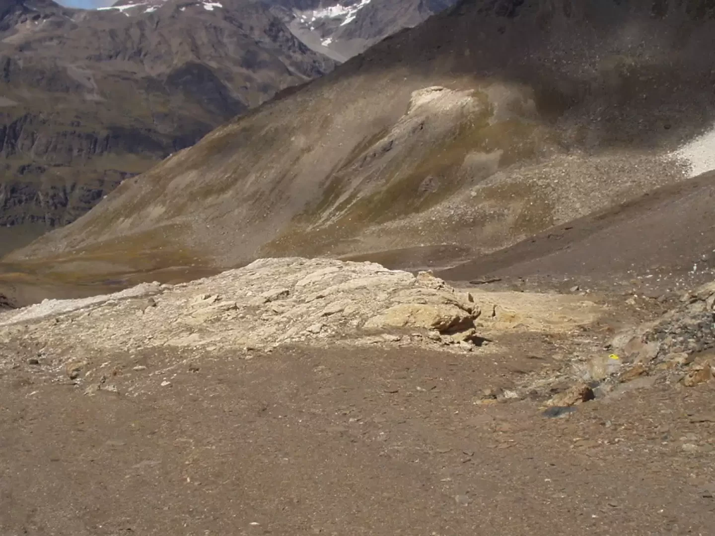
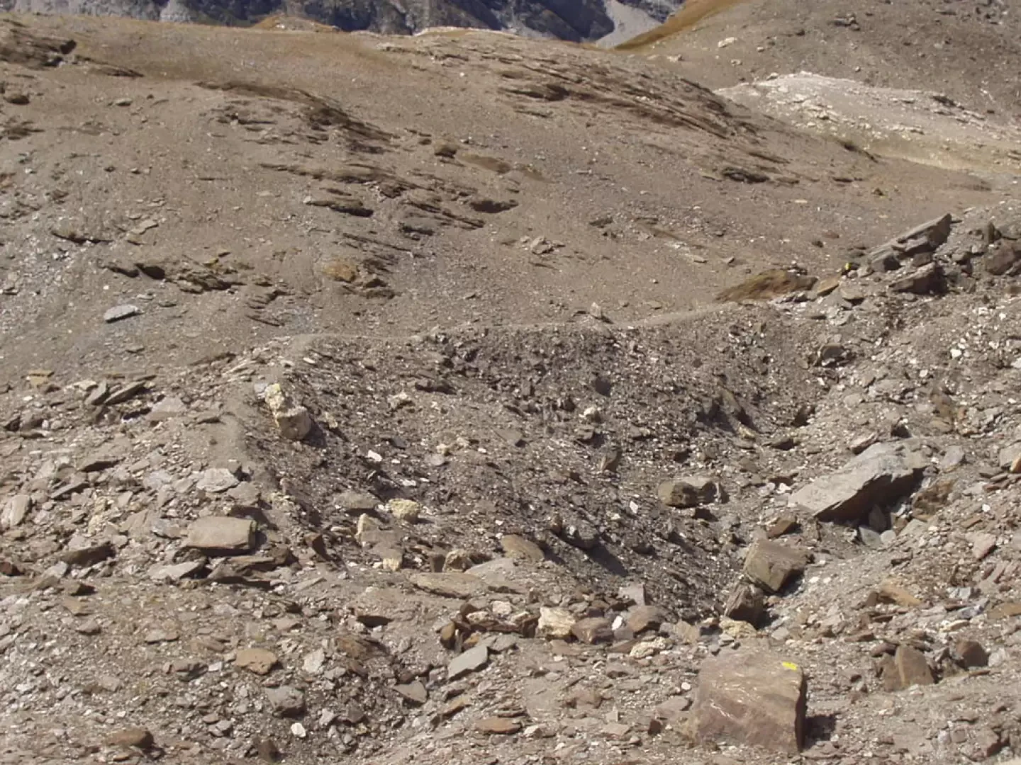
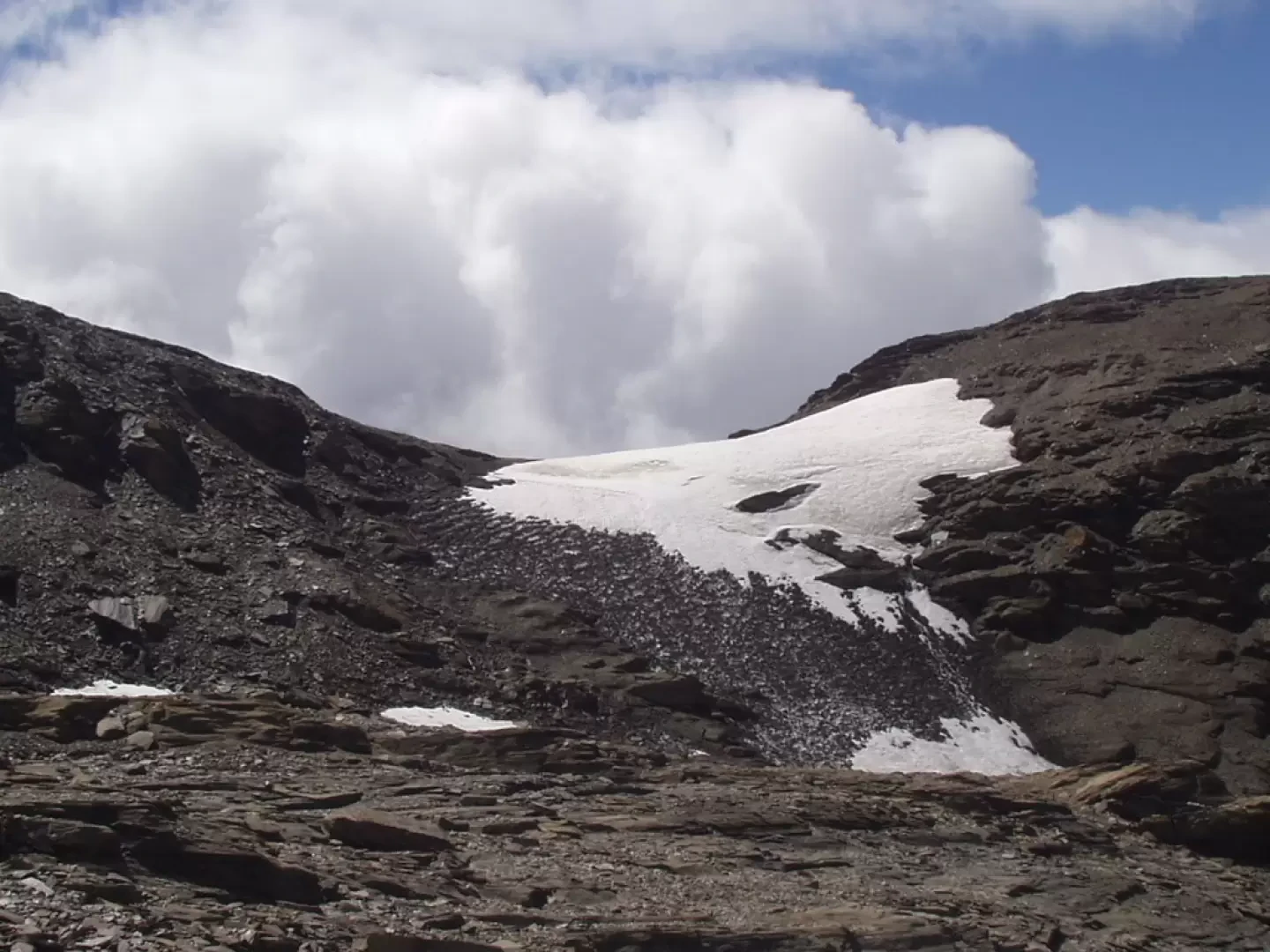
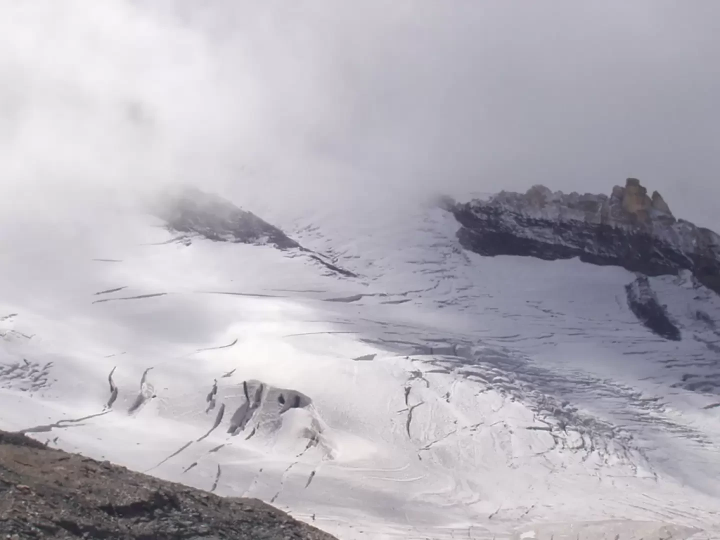
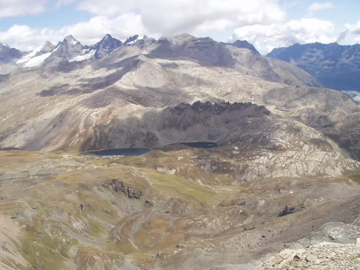
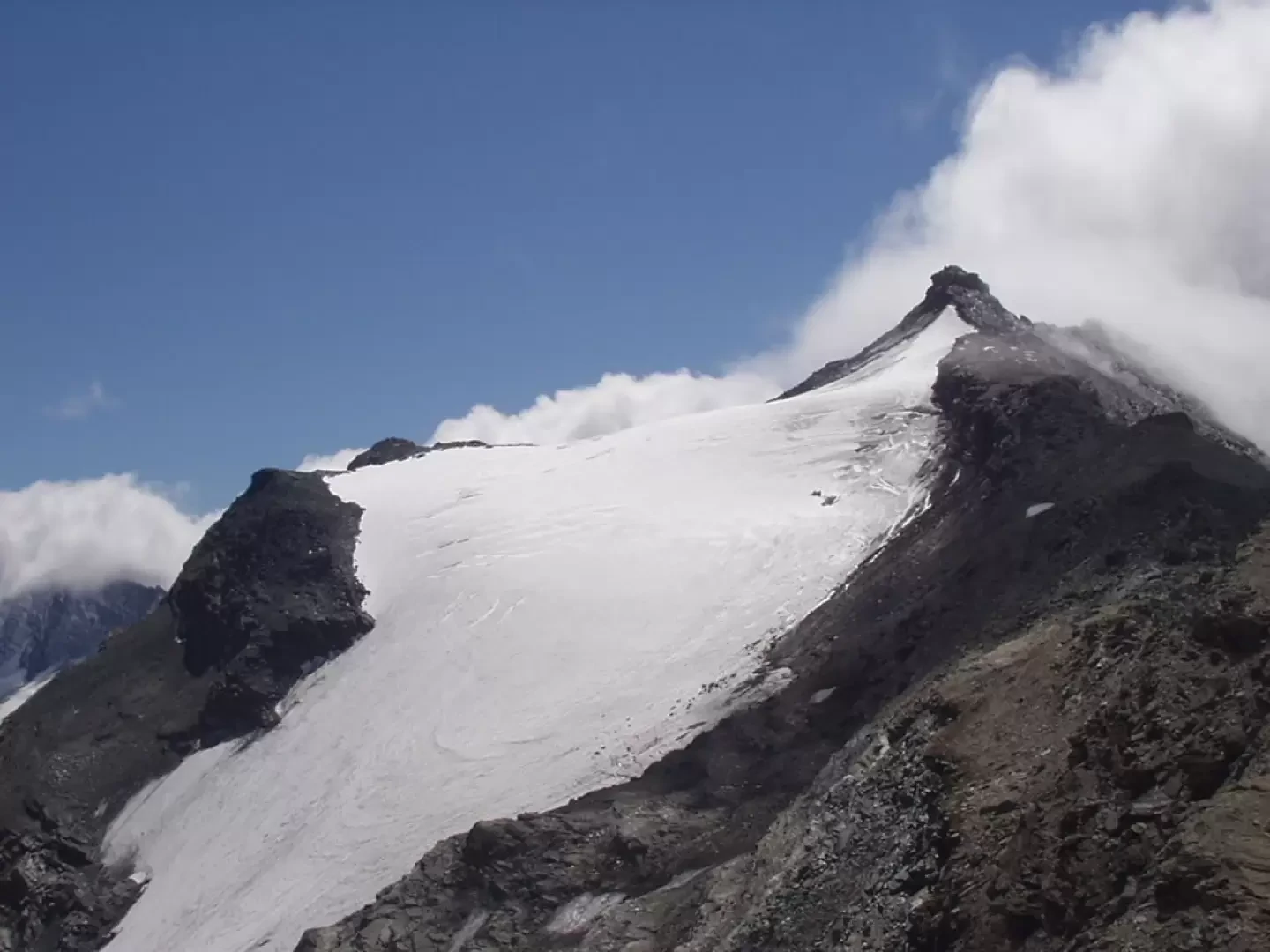
From the car park (approx. 1854m), take the tarmac road towards the village of Thumel (1886m) and from here follow the clear signs to Rifugio Benevolo, marker (13), as per the report already published on Inalto. From the Rifugio Benevolo (2285m, 1h15'), follow the path, marker (13B), which traverses the plateau in an easterly direction and climbs up the grassy rises opposite. In about ten minutes, you arrive at a hut (2309m) then, after a stretch on a path bordered by a shabby dry-stone wall, you pass another three close-by ruins and arrive at the cottages (tramail) of Basei (2412m, 1h40') (NdA: on some maps, the path to the Colle della Nivoletta is reported further downstream than the cottages) Having climbed the modest gorge behind the alpine pasture, continue southwards under the slopes of the Punte della Paletta, in the direction of the Lavassey and Fond glaciers that close the head of the Rhêmes valley. Equally great views open up to the west towards the Granta Parei. Notice in the valley bottom the furrows carved by the Dora di Rhêmes in its flow from its source to the Benevolo Refuge. Continuing on grassy rises, you come to a plateau where the grass path practically ends and the markings with cairns begin. To cross the plateau, go eastwards to a large landslide of white boulders, then cross to the right and climb up the stone and debris slopes in the direction of a snow-covered col. After passing by characteristic yellowish rocky outcrops, follow further sections on stone and debris until you reach the snow-covered col. Over easy scree slopes, with the Lavassey glacier in the background, in another quarter of an hour, you reach the Colle della Nivoletta (3130m, 4h00'). The panorama to the east sweeps from nearby Punta Basei with its homonymous glacier to the Ceresole Reale lake, from the Nivolet lakes to the Gran Paradiso group. The return trip follows the same route as on the outward journey: descend to the plateau and walk along to the Basei cottages (2412m, 1h30'), reach the Benevolo hut (2285m, 1h50') and continue to the car park below Thumel (1854m, 2h50').
Photo gallery
Comments (0)
Sign in to leave a comment