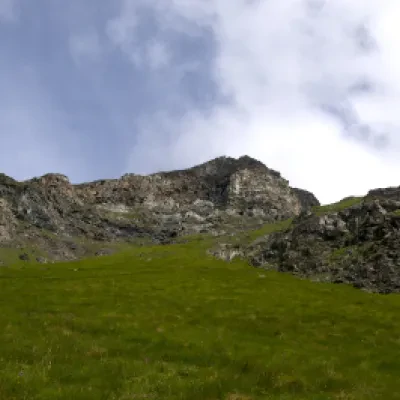
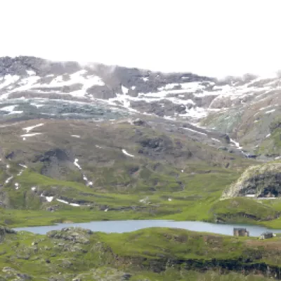
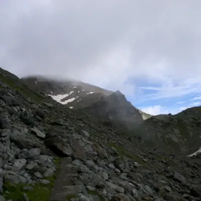
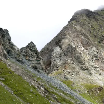
Col Fussy, from the Dondena car park
Access
Leaving the motorway at the Pont-Saint-Martin toll booth, after 100m turn left to follow the state road in the direction of Aosta. After 500 metres, at the roundabout, take the second exit and continue on the state road for 3 kilometres to the next roundabout. Take the second exit and follow the regional road in the Champorcher Valley. Continue on the regional road for 14.7 kilometres up the valley and through the villages of Hône and Pontboset before reaching Château, the centre of Champorcher. Turn right, following the signs for Dondena and climb up the little communal road for about 7.9 kilometres until you reach the Dondena car park 🅿️ where you can leave your car.
[0h52'] - [30.6km]
How to get there with GMaps
How to get there with Apple Maps
The information provided here has been verified as of the date the route was surveyed. Before setting off, it is advisable to ensure that no substantial changes have occurred on the route to the starting point. We therefore recommend the use of the satellite navigation apps provided by Google or Apple for up-to-date and detailed directions.
Introduction
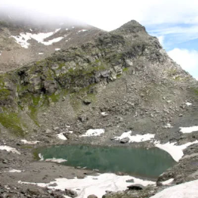
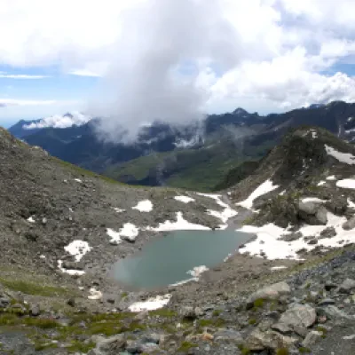
La Valle di Champorcher, con i suoi paesaggi selvaggi e la lunga tradizione escursionistica, offre un itinerario affascinante, spesso abbinato alla più ambita salita al Mont Glacier: l’ascesa al Col Fussy (2.911 m). Questo percorso, adatto a escursionisti di livello intermedio, si snoda attraverso ambienti di grande varietà, alternando pascoli d’alta quota, pendii erbosi e scenari tipicamente alpini. Nell’ultimo tratto, il sentiero conduce a una suggestiva conca alle pendici del Mont Glacier, dove si trova il Lago Gelato, incastonato tra le rocce e spesso coperto di ghiaccio anche in estate avanzata, proprio come suggerisce il nome.
Description
From Chardonney, cross the bridge over the Ayasse on the large, recently restored royal mule track. A little further on, it leaves a marked path on the right, "la Scaletta", which ascends the meadowy shoulder dividing the Vallone di Laris from the Conca di Dondena, then approaches the stream between sparse larches. It crosses it at Pont Ravire and continues on the orographic left bank, inside the spruce and larch woods, with some very steep and stepped passages. Continue inside the narrow valley, crossing a few tributary streams of the Ayasse, until you reach the plateau with the Creton and Brenvey alps, where the Strada Reale (1926m) also joins.
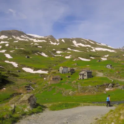
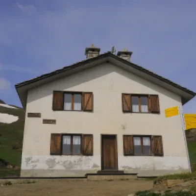
Continue on the service track just below the rocky bars of the Bec de Raté and, a few metres before joining the road to Dondena, take the path to the left. This crosses the entire meadow terrace while remaining below the farm road and reaches the fertile pastures of the Conca di Dondena, dotted with numerous stone buildings. We continue on the small road that is forbidden to traffic and climbs in two wide bends to the Dondena hut (2186m).
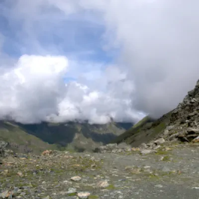
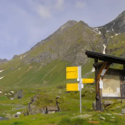
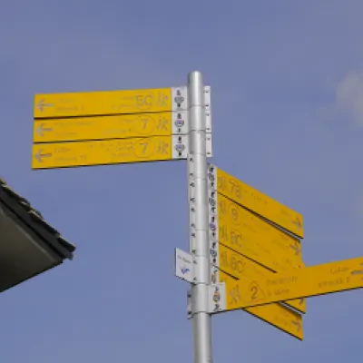
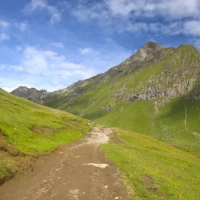
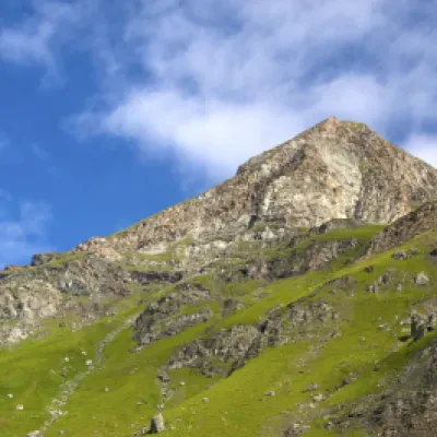
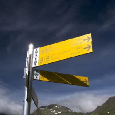
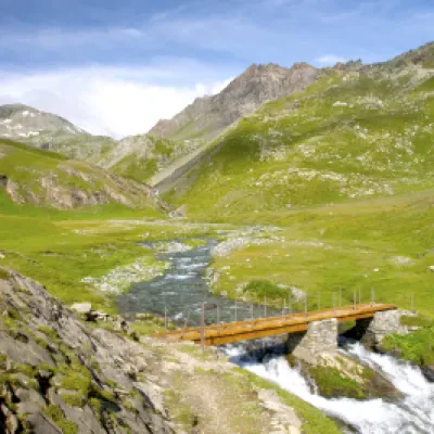
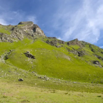
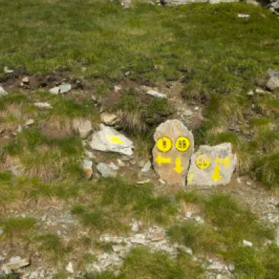
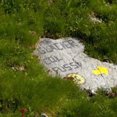
From the hut, we catch a glimpse of our destination and the nearby Mont Delà (3139m). Leaving the refuge behind us, we continue marching along the farm road that normally leads to Lake Miserin. After about 45 minutes of walking, we reach a clearing, where the Ayasse stream widens out and can be crossed over a small wooden bridge that we will find on our right. So as not to make a mistake, this passage is signposted. After crossing the bridge, continue on the path, indicated as such only at the beginning: during the ascent, only yellow arrows will be encountered as far as Col Fussy. After a few dozen metres from the bridge, on a boulder, two directions are indicated: taking the one on the left, which will cross the clearing, you will take the normal path, while, for the more hurried or steep walkers, on the right you will take the shortcut. Following the normal path, you will cross the slope to Lago Gelato with wide zig-zags that considerably reduce the walking slope but considerably lengthen the walking time. After about 1h 50', after crossing a small valley, you will reach Lake Gelato (or Lac Gelé) at 2824 m altitude. After passing the lake, it takes about 10 minutes to reach Col Fussy (2910 m), where we find the signpost for the trail that will take us to the summit of Mont Glacier.
.Punti di interesse
- Torrent Ayasse
- ex Albergo Alpino
- Dondena
- Rifugio Dondena
- Lago Gelato
- Col Fussy
- Mont Glacier
- Parco del Mont Avic
