Col Bassac, from Surrier


Edited by:
Massimo Martini
Updated at: 04/10/2025
Access
From the motorway barrier at Aosta-West, keep left and follow the signs for Aosta - Saint-Pierre. After one kilometre, at the roundabout, take the second exit to join the national road . Continue on the state road for 4.3 kilometres, passing the village of Saint-Pierre until you reach a new roundabout with the Gran Paradiso National Park sign. Take the first exit and continue on the state road for 4.2 km until reaching Arvier and its roundabout dedicated to cyclist Maurice Garin. Take the second exit and continue on Via Corrrado Gex until you reach the village of Leverogne, one kilometre further on, where, at the fork, keep left and take the regional road . Go up the regional road for 15.8 kilometres, passing the main town of Valgrisenche and reaching the village of Bonne: from here, proceed on the narrow communal road for another 5.9 kilometres up the valley on the orographic left until reaching, after a short descent, the free car park 🅿️ of Surrier where you can leave your car.
[0h43'] - [32.1km]
How to get there with GMaps
How to get there with Apple Maps
The directions given here have been verified as of the date the route was surveyed. Before setting off, it is advisable to ensure that no substantial changes have occurred on the route to the starting point. We therefore recommend the use of the satellite navigation apps provided by Google or Apple for up-to-date and detailed directions.
Introduction
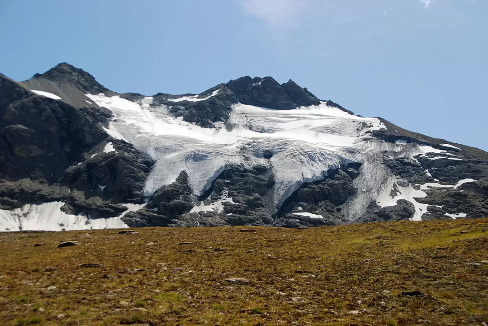
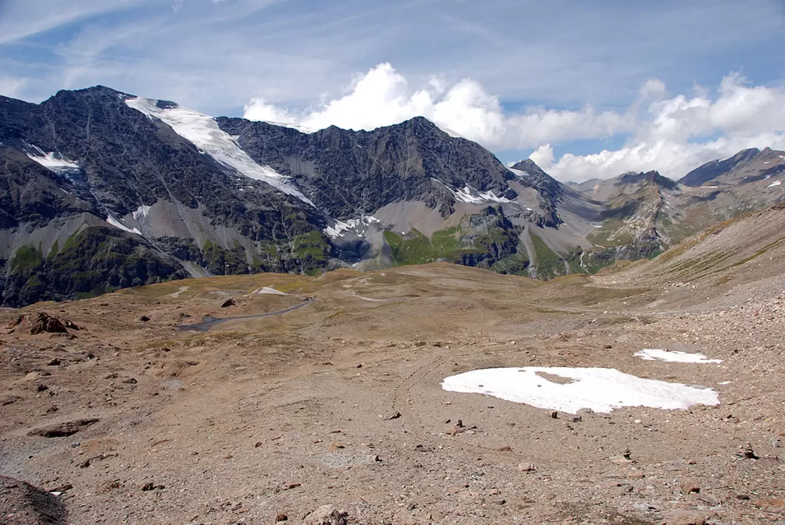
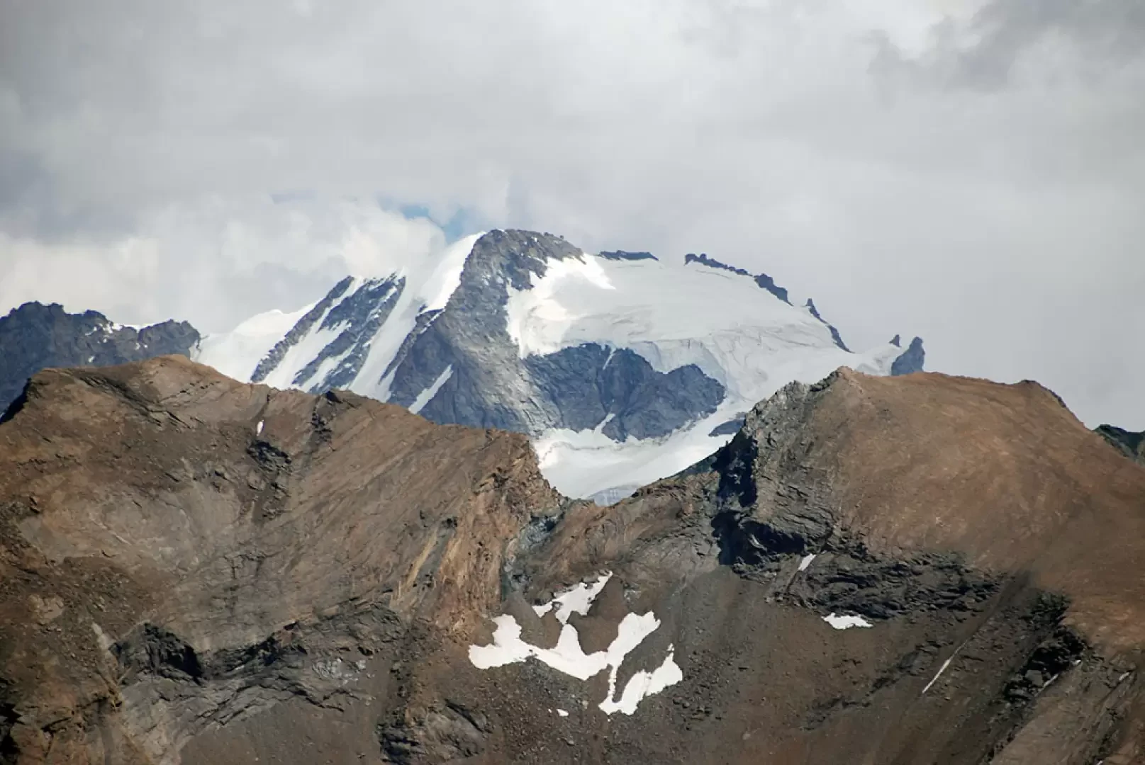
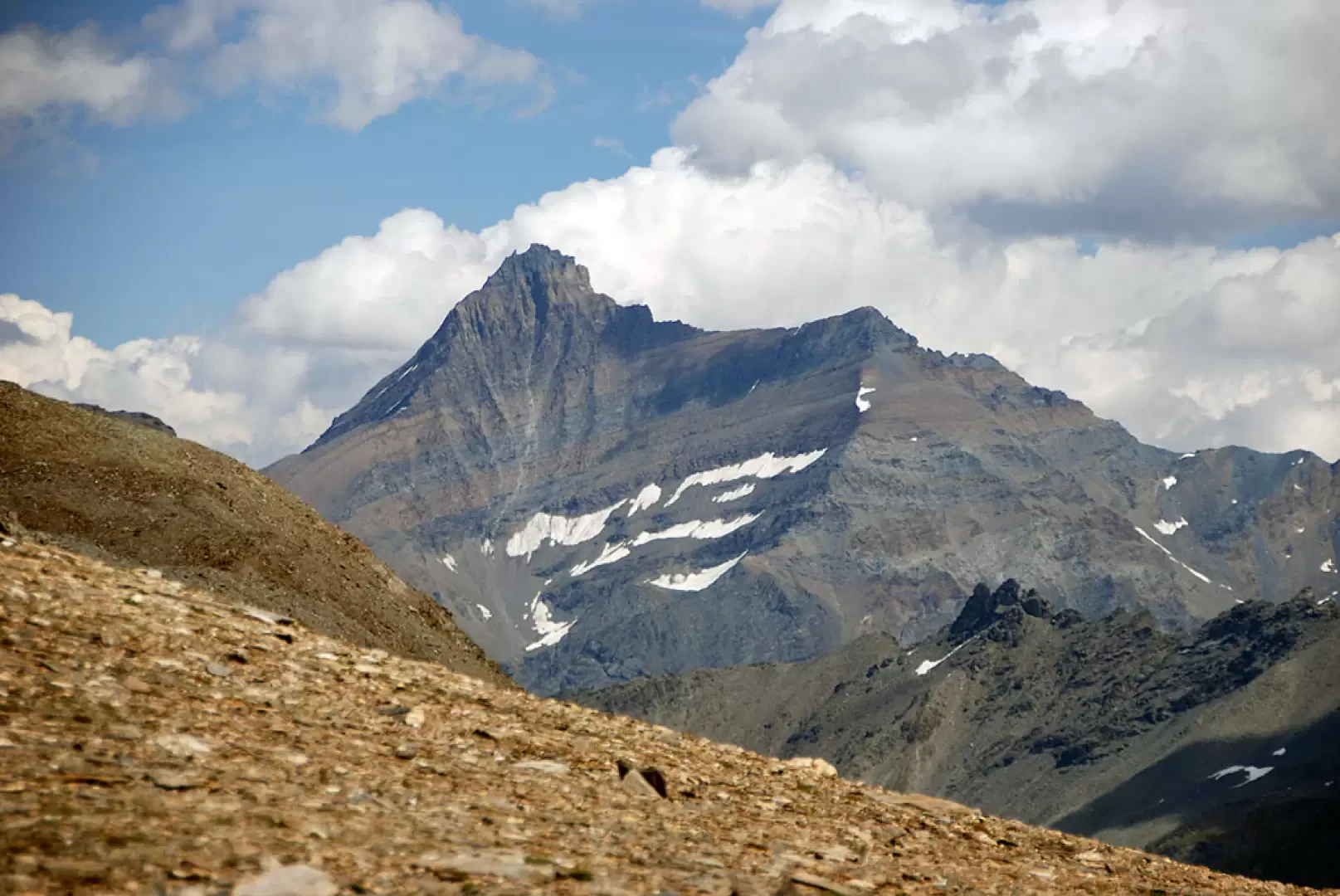
The Col Bassac is one of the hiking passes between Valgrisenche and Val di Rhemes. Despite its 3154m, the hike does not present any particular difficulties, except for the final scree section. The desolate environment and the proximity of the Grande Traversière make this route extremely impressive.
Description
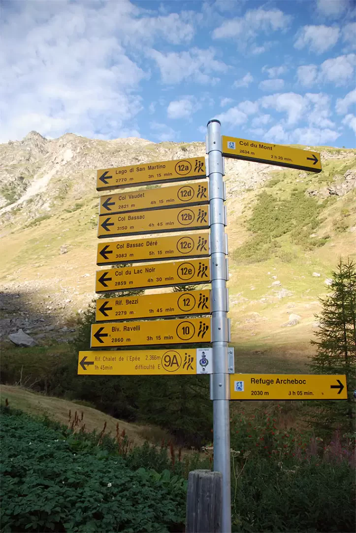
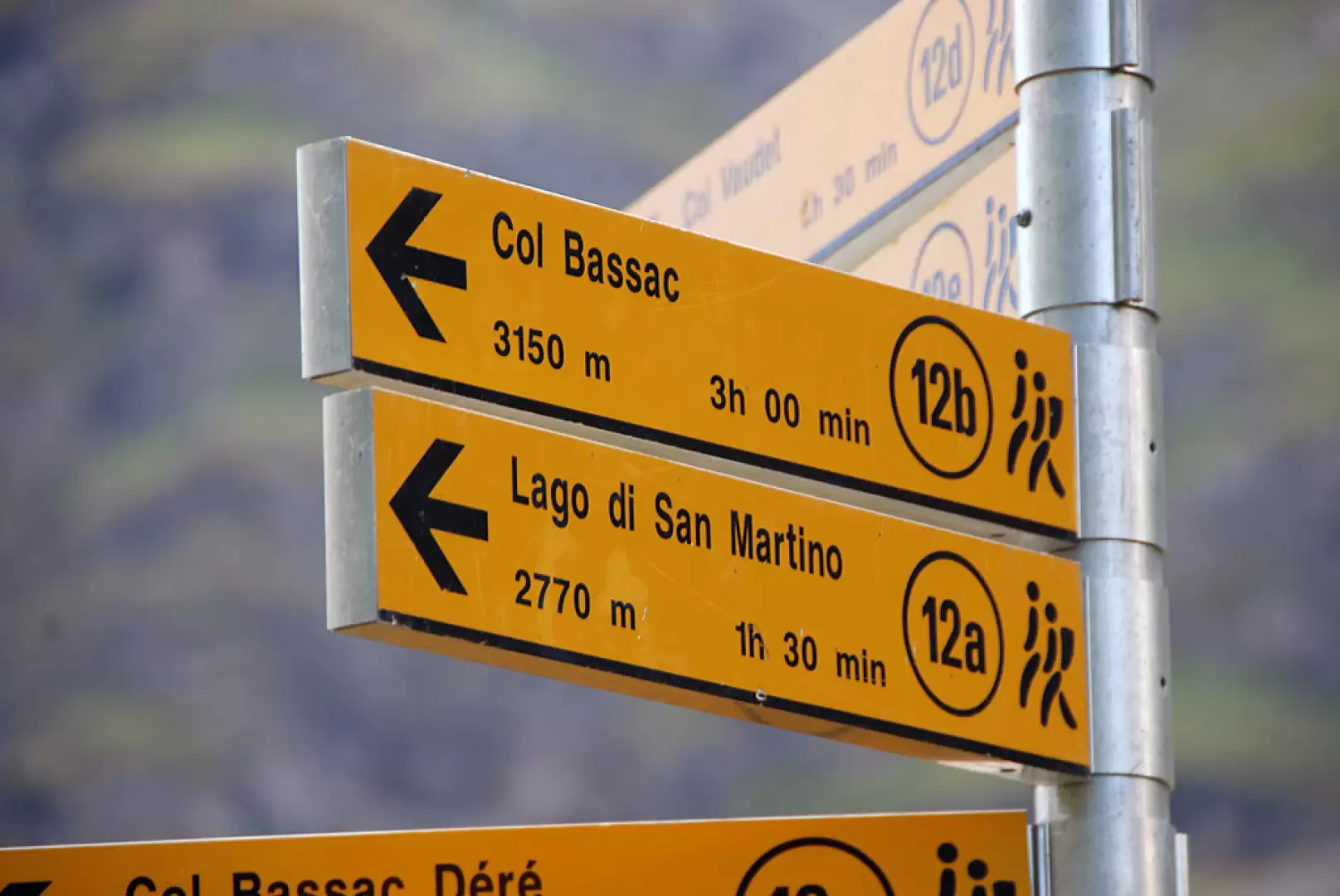
From the car park, descend briefly down the tarmac road until you come to a signpost showing all the itineraries in the area, including path
to the refuge. Turn right onto the farm road that departs near a kiosk with bar service. After a short uphill stretch, you will find, on the left, the road leading to the Chalet de l'Epée hut: ignore the fork and continue straight ahead along the main road.
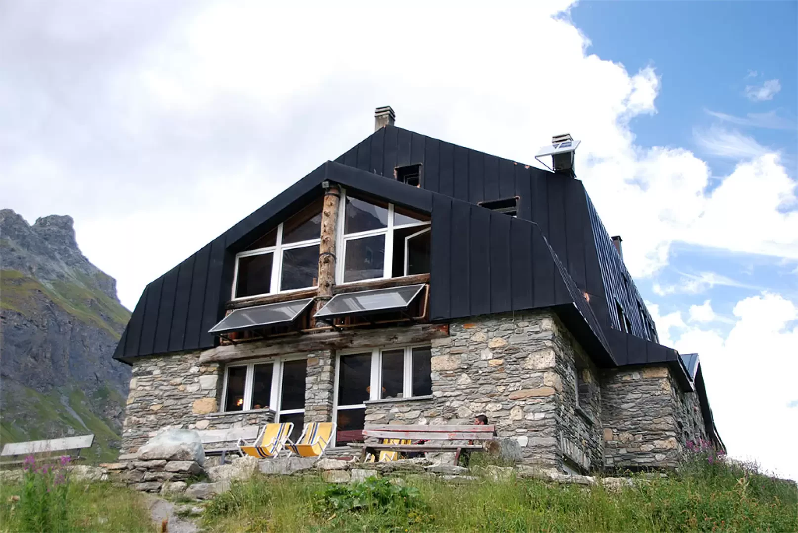
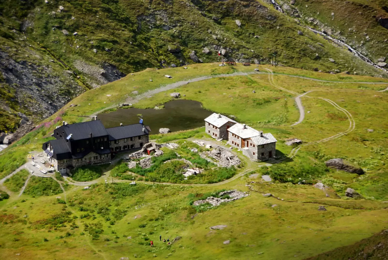
After a short climb, you reach the Tsalé esplanade: after an almost flat section, cross the stream of the same name on a small wooden bridge and, near the ruins of Saxe de Savoie (2036m, 0h50'), cross a second stream on a wooden footbridge and leave the track for the path. Now proceed towards the narrows where you may encounter a snowfield at the beginning of the season, approach the Doire de Valgrisenche and start to climb the final section of the trail. When you reach the arrival station of the cable car used for supplies at the hut, proceed towards the pretty little lake that precedes the hut: a few minutes and you will reach the Rifugio Mario Bezzi (2284m, 1h45') located in Vaudet.
A little further on from the hut, you will come across a signpost: follow the path
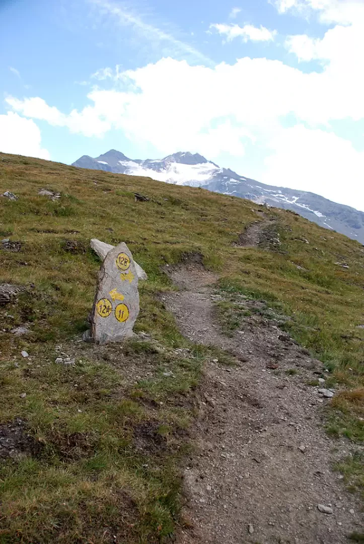
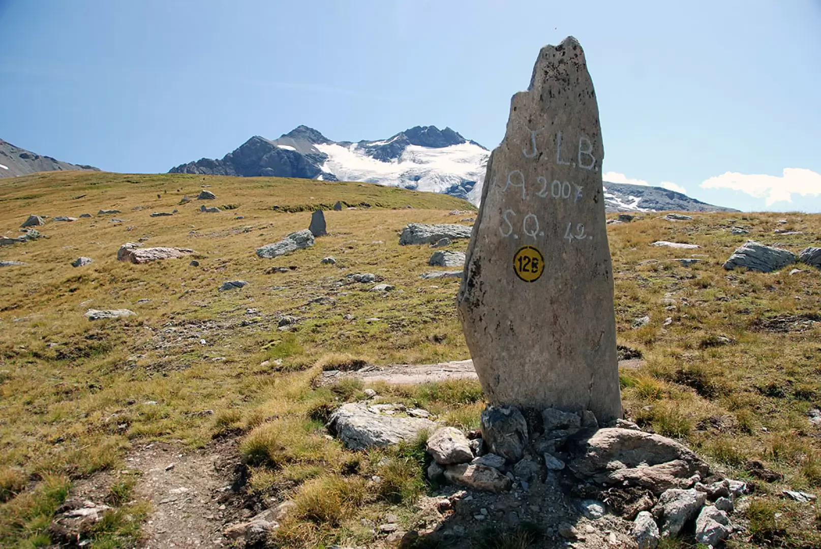
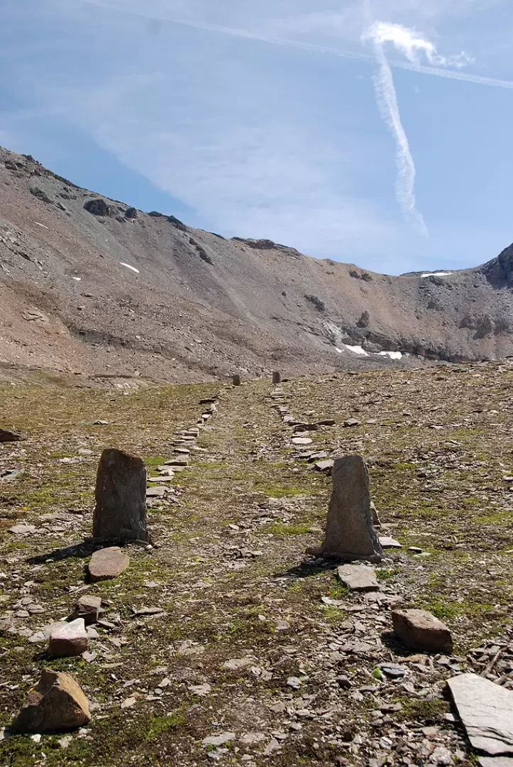
that branches off to the left and crosses a short plateau before starting to climb the slope. The path begins to gain altitude with a series of twists and turns; having passed the old path to the pass (on the right), continue for a few more bends before veering sharply to the left and leading onto a terrace of glacial origin that has long since been grassed over. Without much effort, you reach the junction for the pass, which can be found thanks to a stone on which there are painted markers.
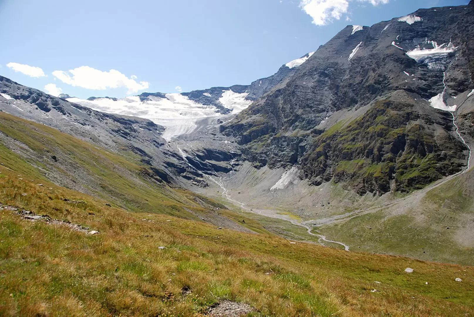
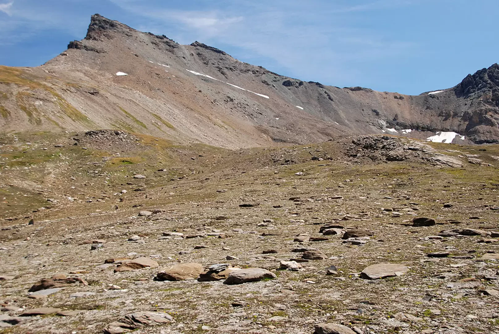
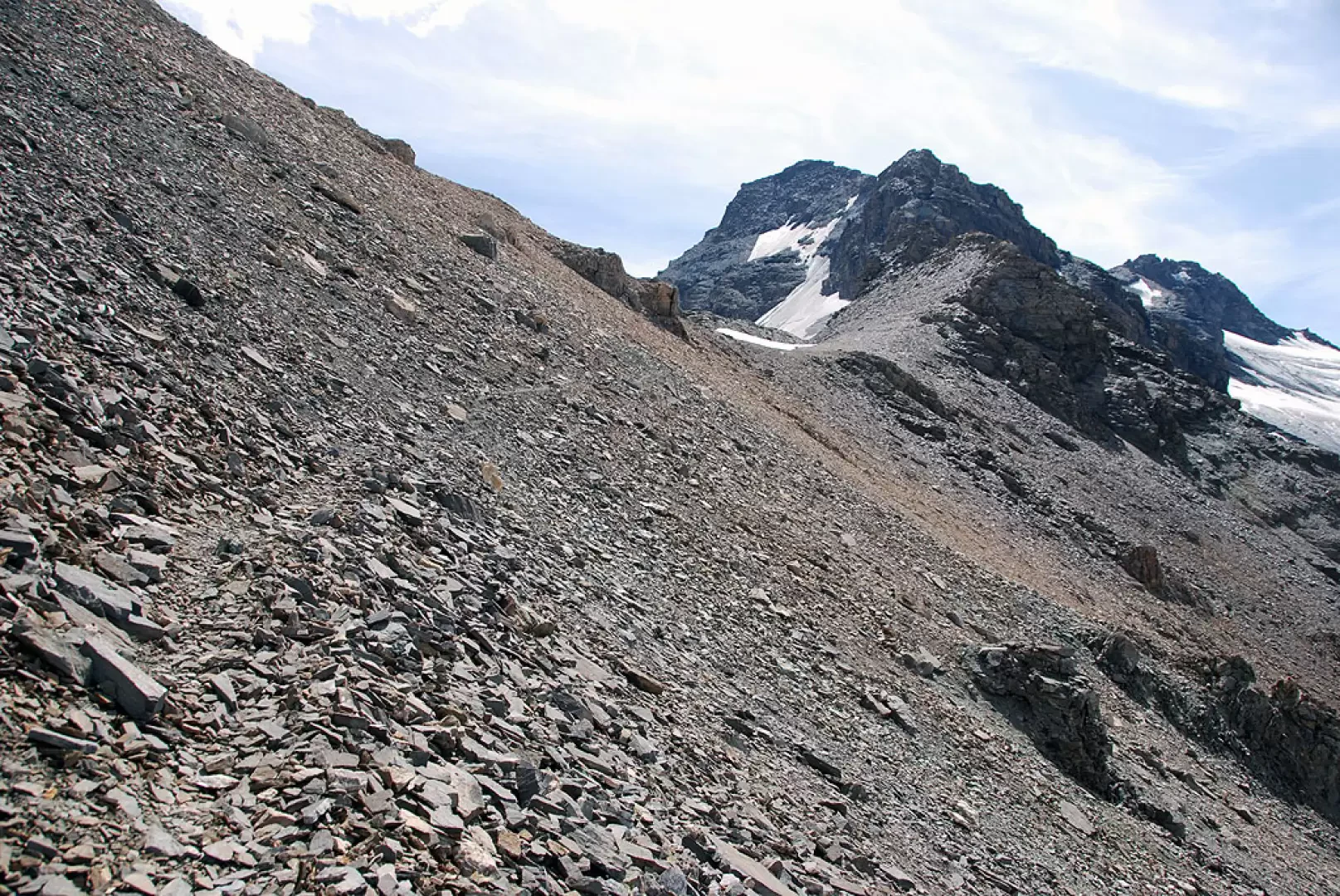
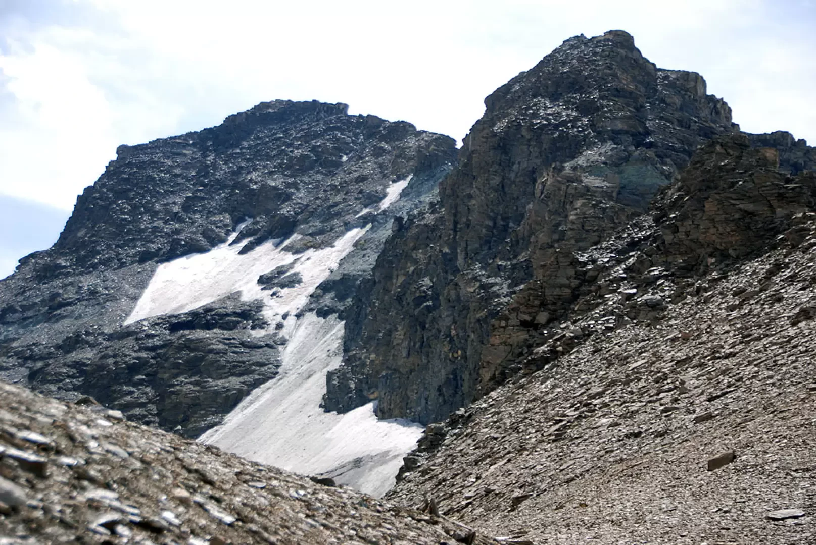
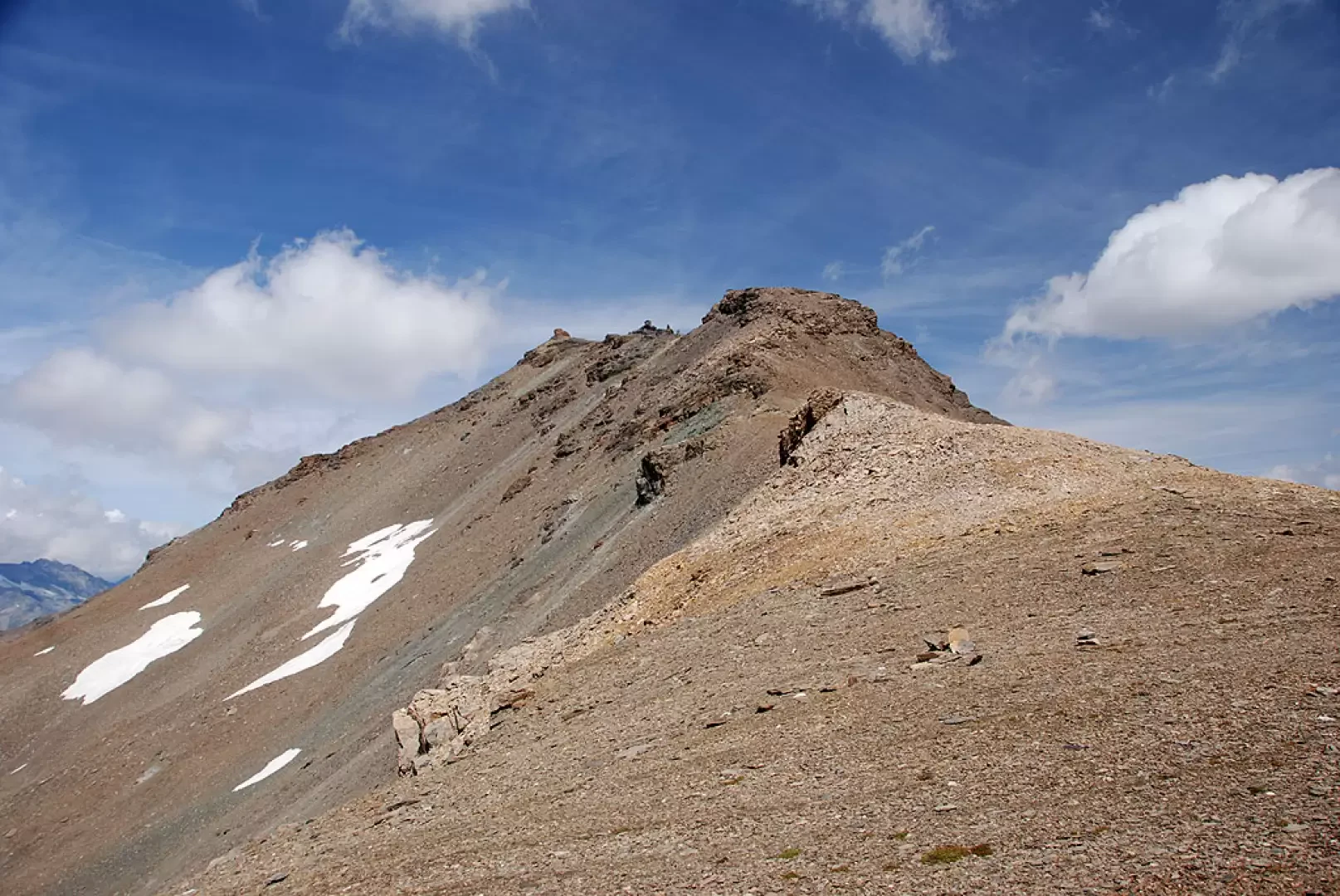
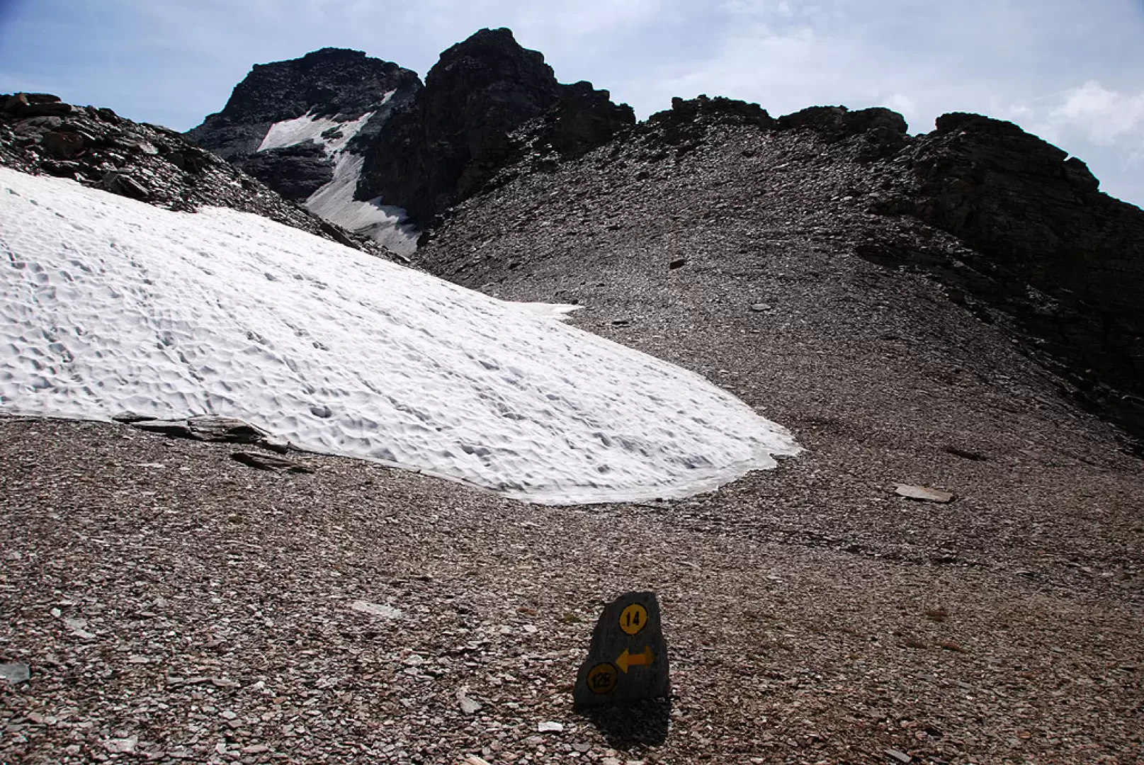
Turn right and begin to climb a pleasant grassy ridge on traces of the path, which can be easily found thanks to a countless series of cairns. Proceed in the direction of the pass, a detrital notch located between the Bassac North and Grande Traversière peaks. At about 2800m, the prairie now gives way to a desolate scree environment as you cross a short plateau. Now prepare to face the most demanding part: with a few turns, climb up a stretch of scree where residual snowfields may be encountered. Quite quickly, you reach the 3000m mark where the path begins to cut across the slopes of the Punta Bassac Nord with a long diagonal to the right. On detrital and somewhat landslide-prone terrain, you finally reach the wide Col Bassac (3154m, 5h00').
The descent follows the same path as on the outward journey (2h00').
Photo gallery
Comments (0)
Sign in to leave a comment