Castellaz, from Passo Rolle


Edited by:
Massimo Martini
Updated at: 27/05/2025
Introduction
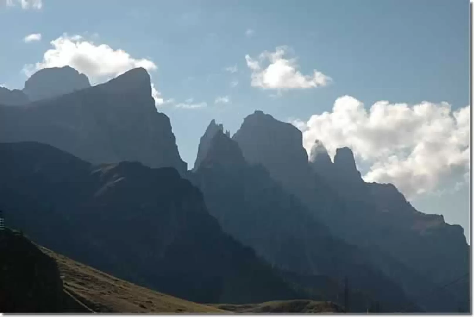
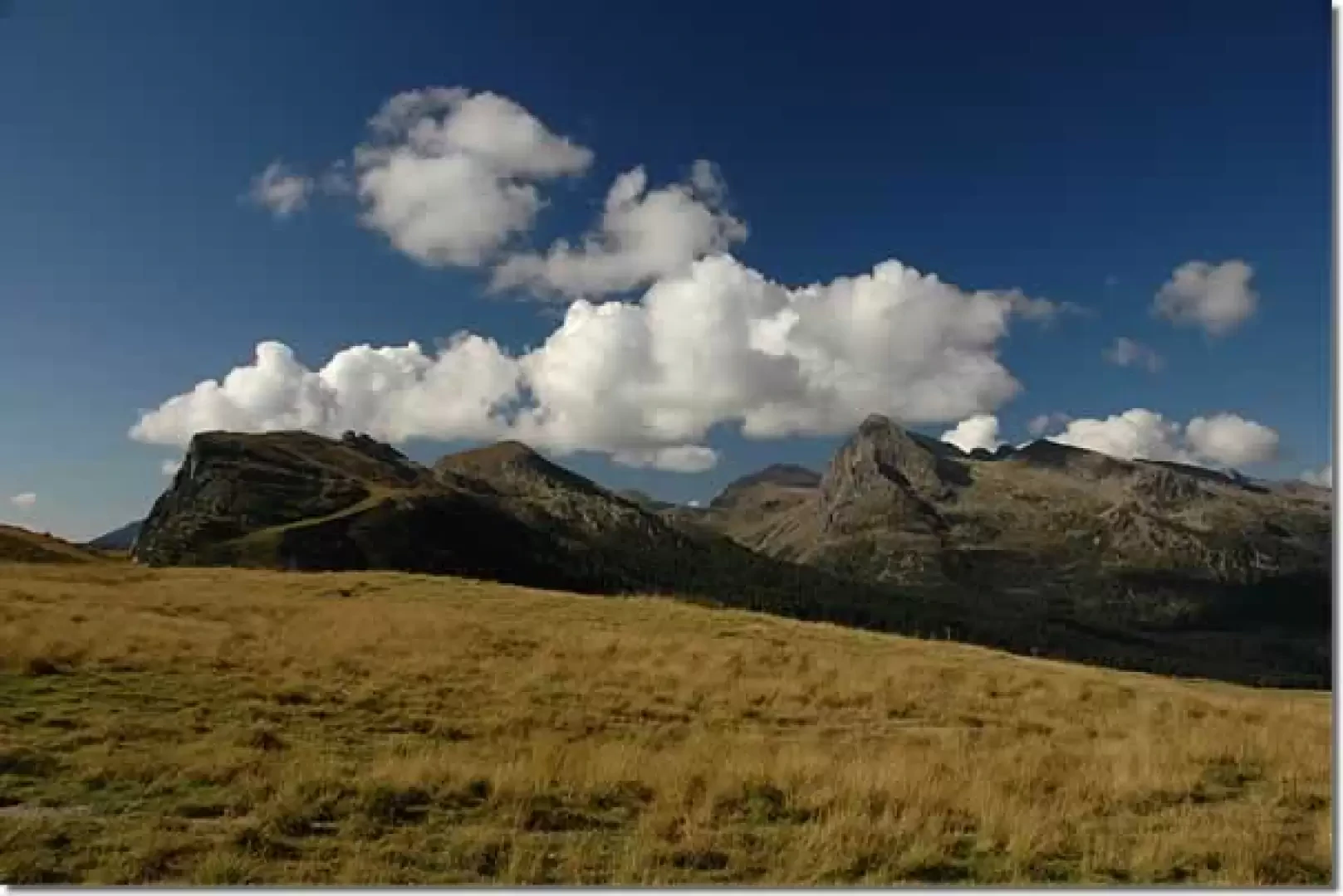
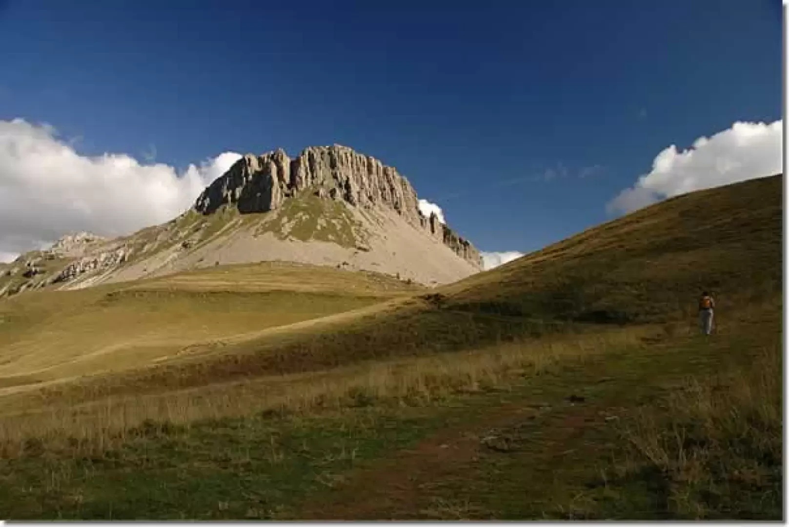
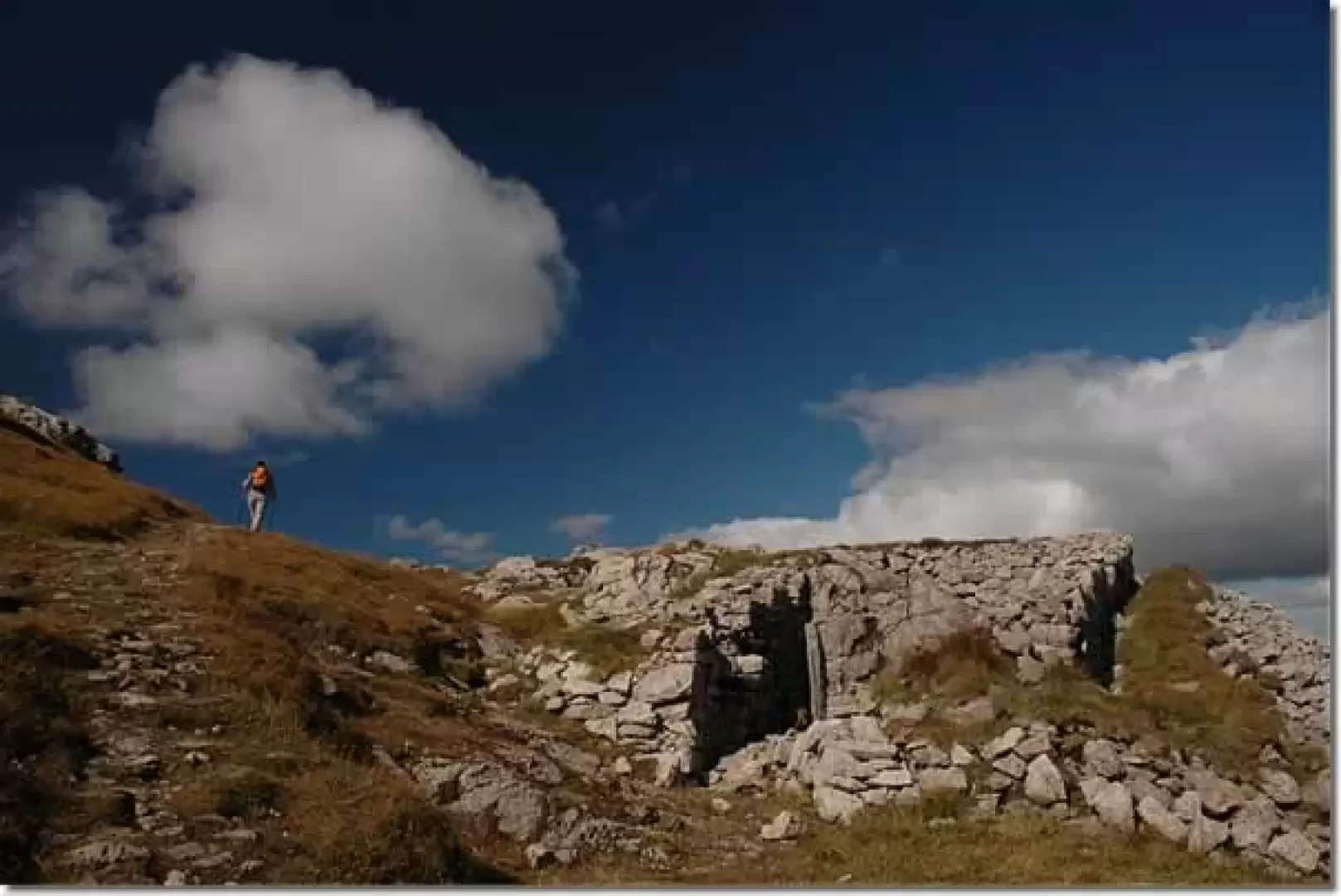
From Passo Rolle a characteristic silhouette rises up in the presence of the most famous Pale di San Martino: the Castellaz. The itinerary proposed here allows you to discover this peak both as a privileged viewpoint on the northern side of the Pale, and for the traces of history, made up of trenches and shelters, left behind during the First World War.
Description
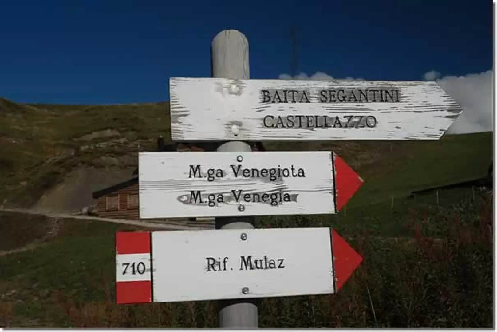
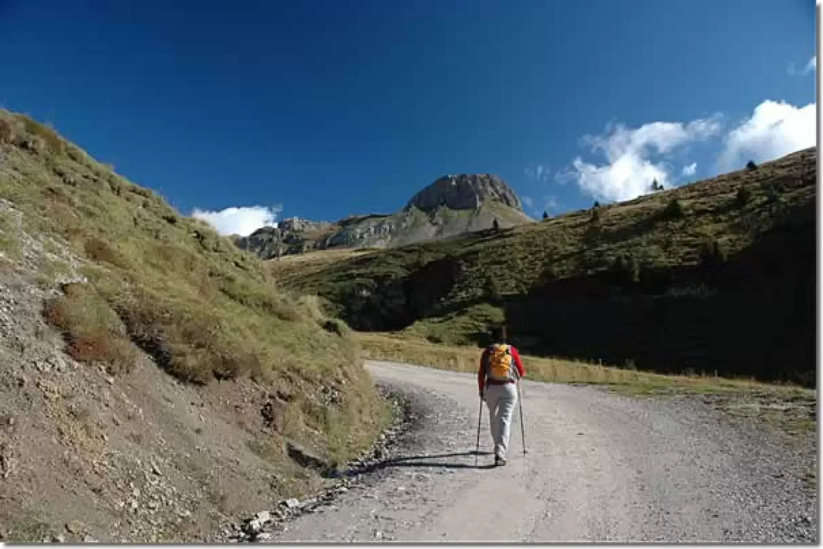
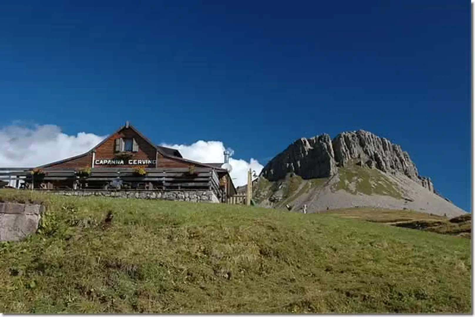
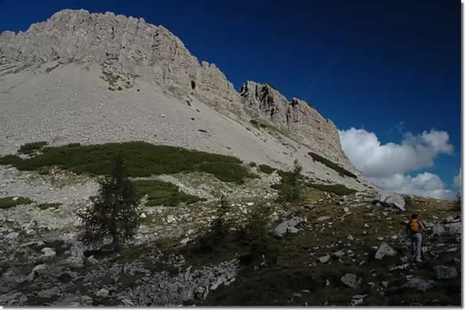
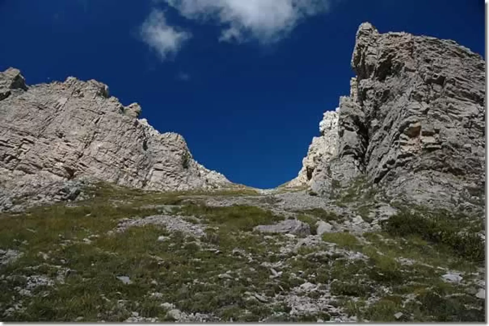
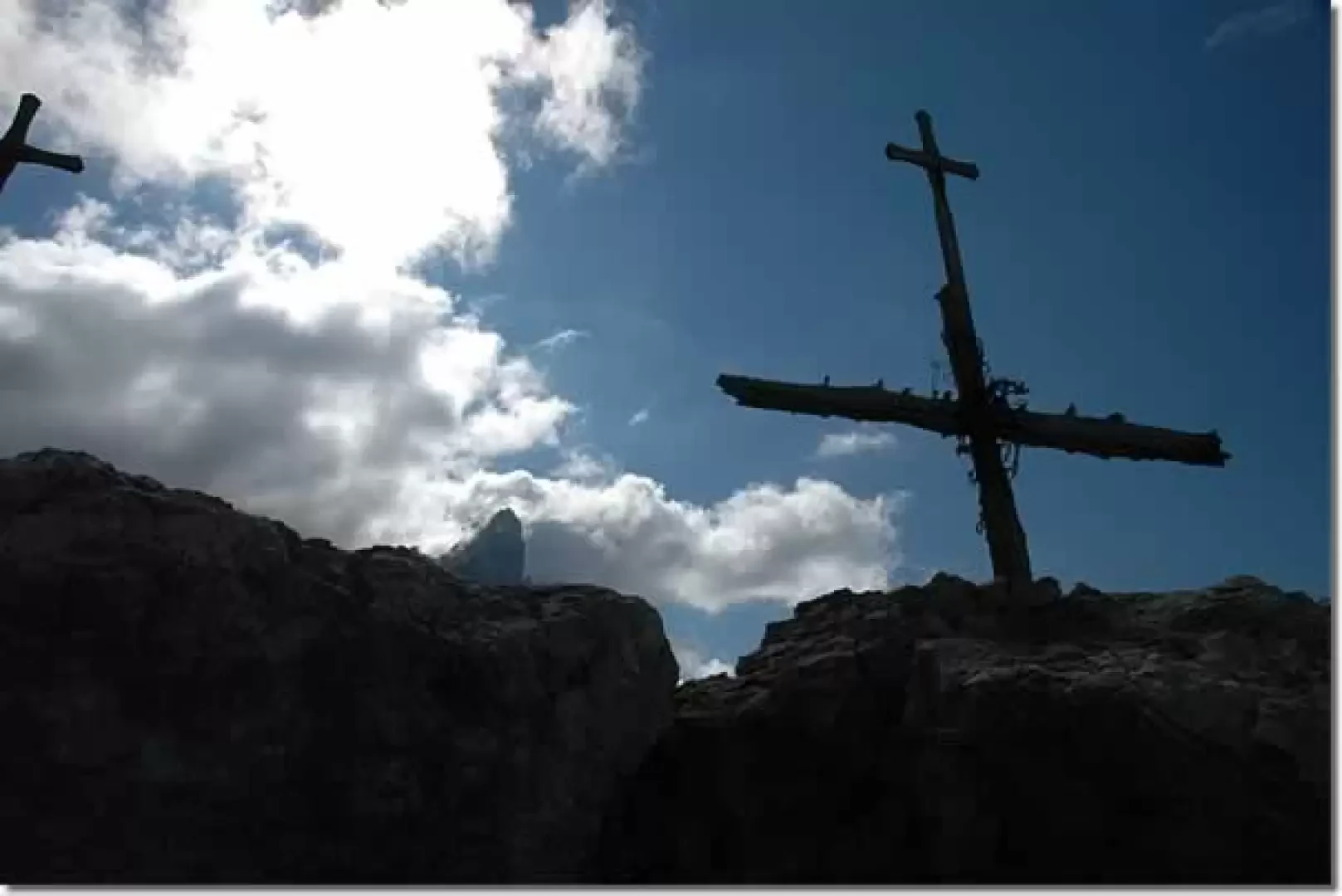
Leaving your car behind, you set off along a small white road that starts at the last hairpin bend before reaching Passo Rolle. You will immediately come across the signposts indicating the direction to follow: Baita Segantini and Castellazzo. We begin to walk along the little road and, after passing a wooden hut, we make a turn to the right which immediately allows us to admire the bold profiles of the Pale. We slowly ascend the green pastures above Passo Rolle and begin to glimpse the characteristic outline of the Castellaz. After a few minutes we come to a crossroads: we proceed up the small road to the right, climbing up the ridges furrowed by the ski lifts. Slowly the panorama opens up and, in addition to the Pale, we can admire the Cima di Bocche in the background and Cavallazza and Colbricon behind. After passing a couple of twists and turns, we reach the Capanna Cervino (2082m, 0h25'). From the Capanna Cervino hut, continue along the road past a couple of hairpin bends until you come to a fork: leave the road that leads to the Baita Segantini hut, turning left and continuing in the direction of the Castellaz. You now continue along a grassy track that quickly leads to a small saddle: from here you begin to follow a little path, not very evident in places, that goes around the southern slopes of the Castellaz until it becomes more evident as you begin the long ascent of the scree. The most demanding section of the route is now covered, climbing up the long scree on the path that snakes its way up the only accessible point, on the southern side, towards the summit. Towards the end of the ascent, the first fortifications are encountered just before a col. On reaching the col, the path takes us left up the gentler northern slopes between trenches and stone shelters; we take the ridge again and, after turning left again, finally reach the summit of the Castellaz (2333m, 1h15') surmounted by a cross wrapped in barbed wire. The atmosphere is at once evocative and gloomy, like the memories of the Great War that emerge from every crevice of these tormented rocks. The descent follows the same route as the outward journey (0h45').
Photo gallery
Comments (0)
Sign in to leave a comment