Calderón Hòndo, from Lajares


Edited by:
Massimo Martini
Updated at: 13/01/2026
Access
From the FV-1, at Corralejo, take the FV-101 towards La Oliva. After 9.2 km, at the entrance to Lajares, turn left onto Calle Majanicho and continue for about 1.1 km until you come to a dirt clearing used as a parking area for the excursion.
The site can also be reached by bus from Corralejo or La Oliva (Tiadhe line), with a stop in Lajares and a subsequent walk of about 15 minutes.
Distance and travel time
🕒Travel time: 11 minutes
📏 Distance: 10.0 km
GPS navigation
📍 How to get there with Google Maps
📍 How to get there with Apple Maps
ℹ️ Important note
The directions provided were verified on the date the route was surveyed. Before departure, it is advisable to check any changes to the route. For up-to-date and detailed directions, we recommend the use of Google Maps or Apple Maps.
Introduction
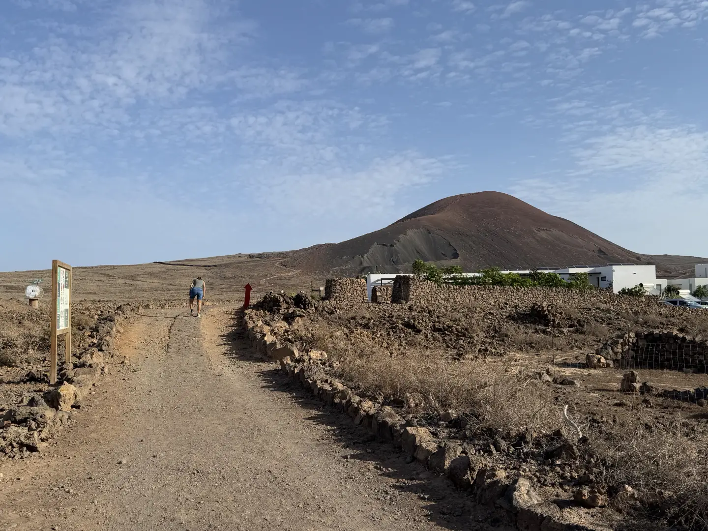
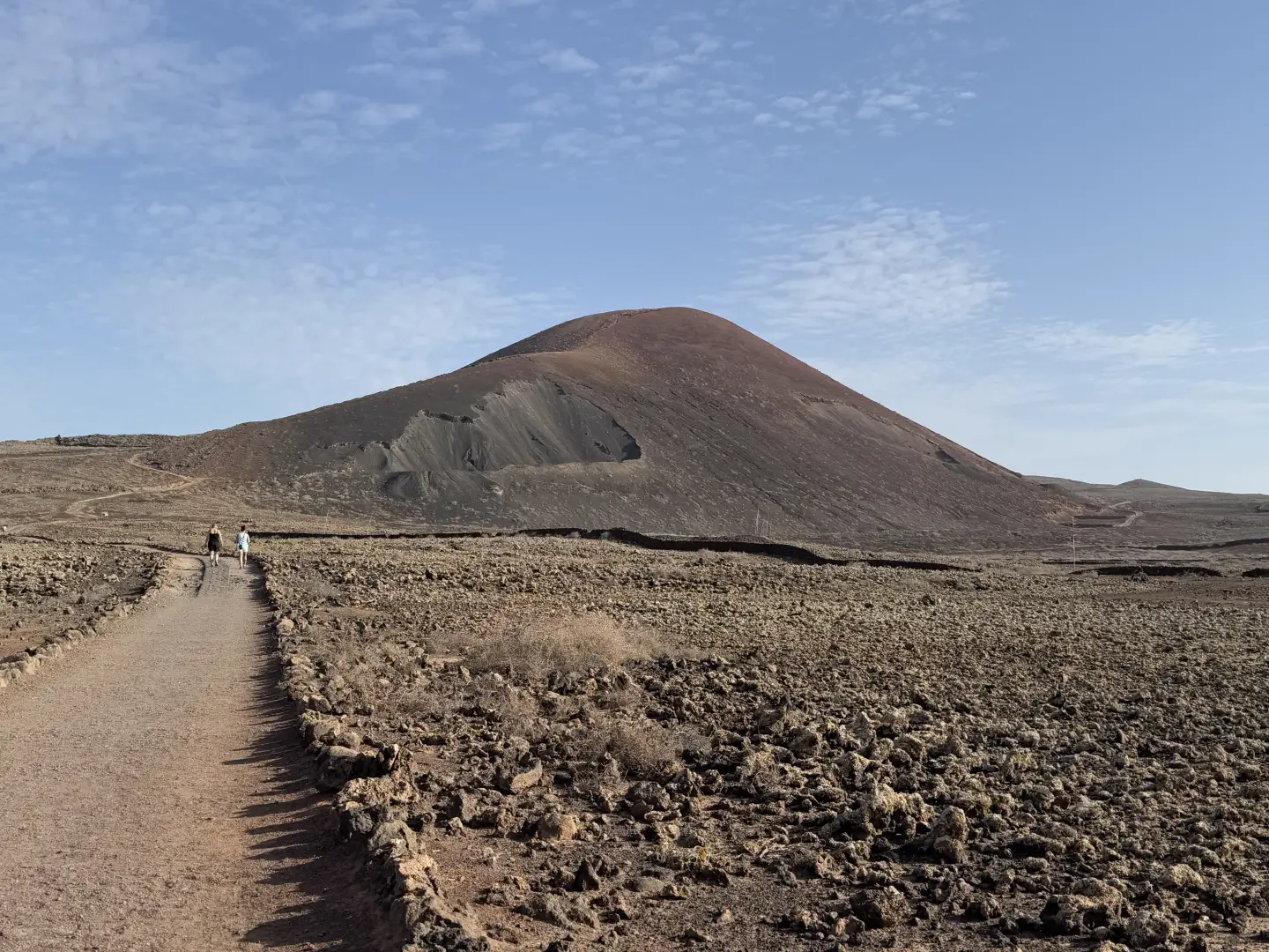
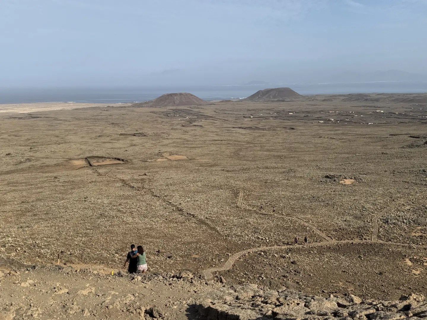
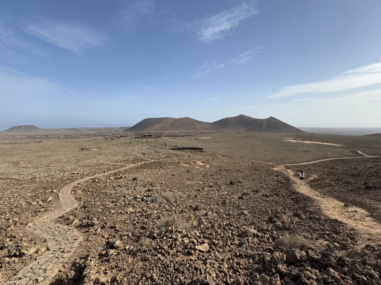
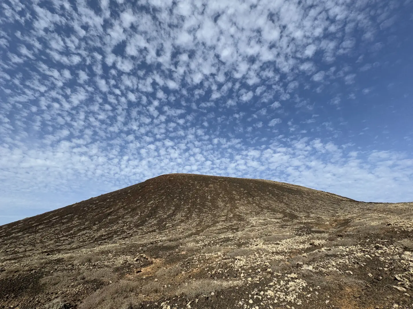
The Calderón Hondo (273m) is a well-preserved volcanic cone located in the north of Fuerteventura, in the Canary Islands, not far from the village of Lajares. The proposed itinerary is a round trip, starting and finishing in Lajares, and follows easy dirt tracks and lava paths. The environment is typically volcanic, characterised by basaltic rocks, gentle slopes and views towards the ocean and the island of Lanzarote.
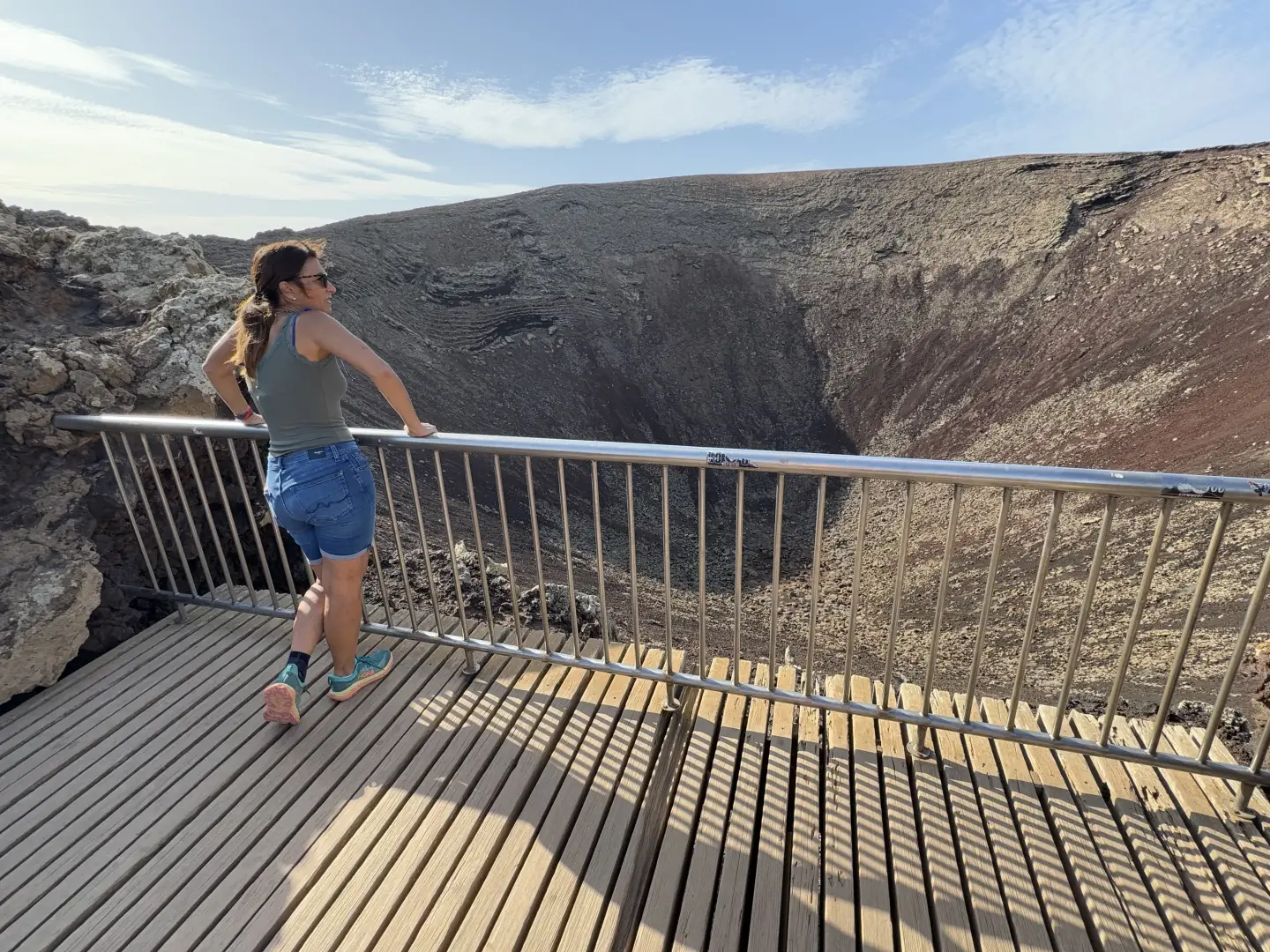
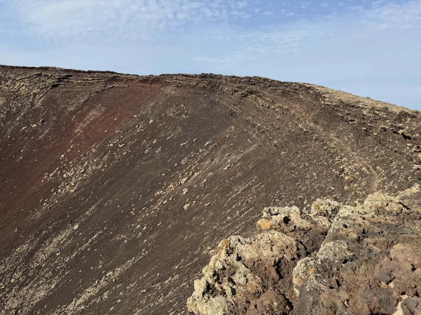
Of particular interest is the access to the edge of the caldera, a perfectly circular crater with a diameter of about 1.5 km and a depth of 70 m, from which there are wide views of the ocean, Lanzarote and the formations of the Montaña Colorada-Bayuyo volcanic alignment. The route also crosses areas of malpaís, small picón quarries and anthropic traces such as dry stone walls and abandoned corrals.
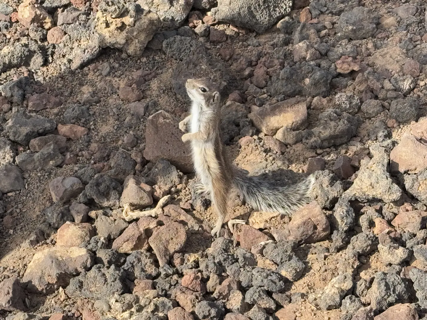
There are no water sources or areas of shade; there is total sun exposure for the entire stretch. It is therefore advisable to walk it during cooler hours, providing yourself with an adequate water supply. The area is populated by plant species adapted to the aridity and is home to typical fauna, such as the Canary Island redstart and the black squirrel, introduced in the 1960s.
Description
0h00' 0.00km Take the dirt track marked SL-FV 2 in a north-easterly direction, leaving the last houses behind and heading towards the rounded outline of Montaña Colorada (258m). The track skirts a flat area bordered by stone walls. Continue straight ahead, ignoring minor detours, until you reach the crossroads with signs for Calderón Hondo.
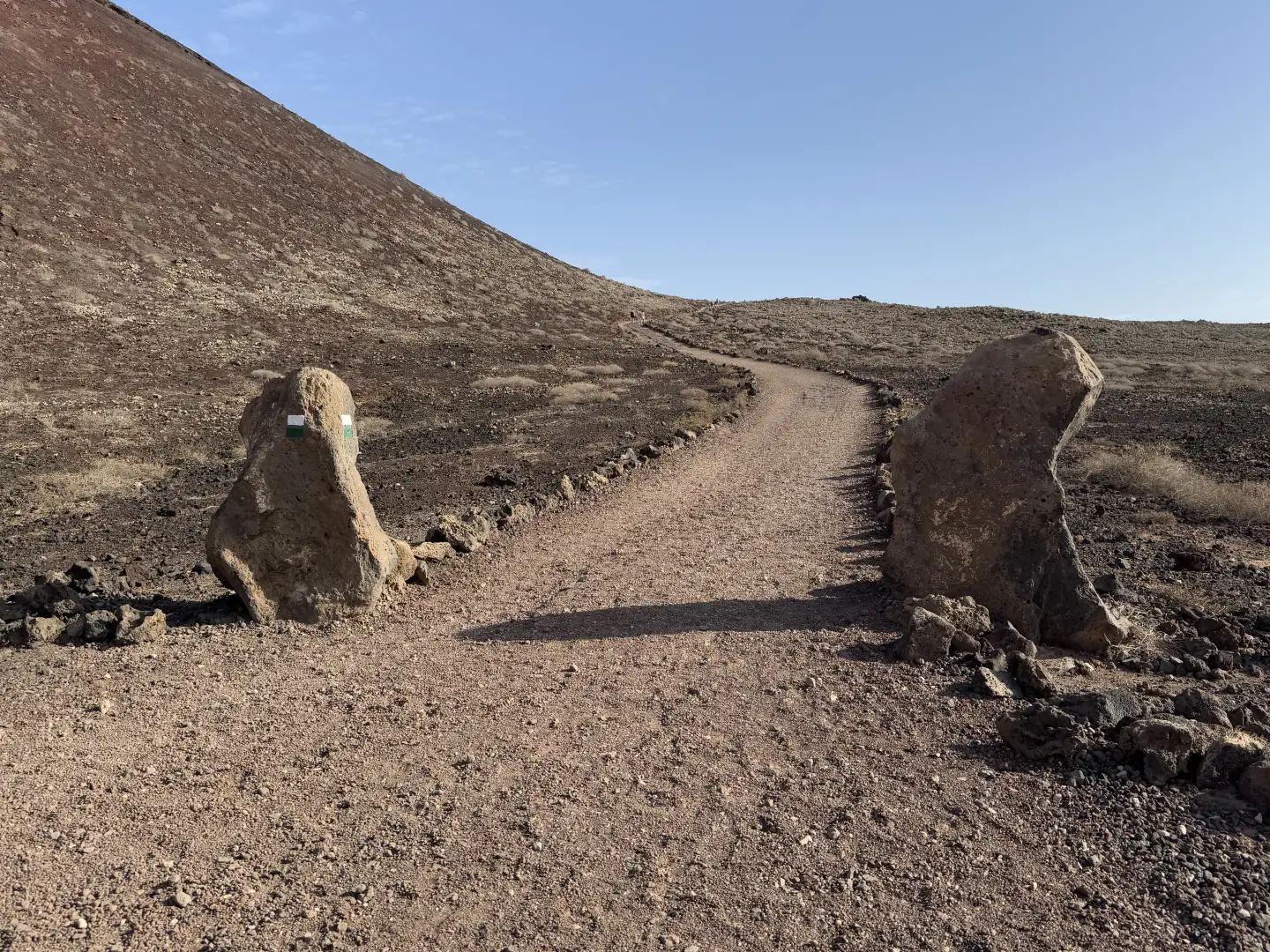
0h10' 0.55km Keep to the right on the path, following a flat section with a paved central strip. The track then begins to climb gently along the side of the volcano, on terrain consisting of gravel and volcanic rock. After a couple of hairpin bends, you reach a lay-by with information panels.
0h40' 0.55km Ignore the straight path that leads to Corralejo and veer slightly to the left, continuing along the paved path across the plateau until you reach the last fork.
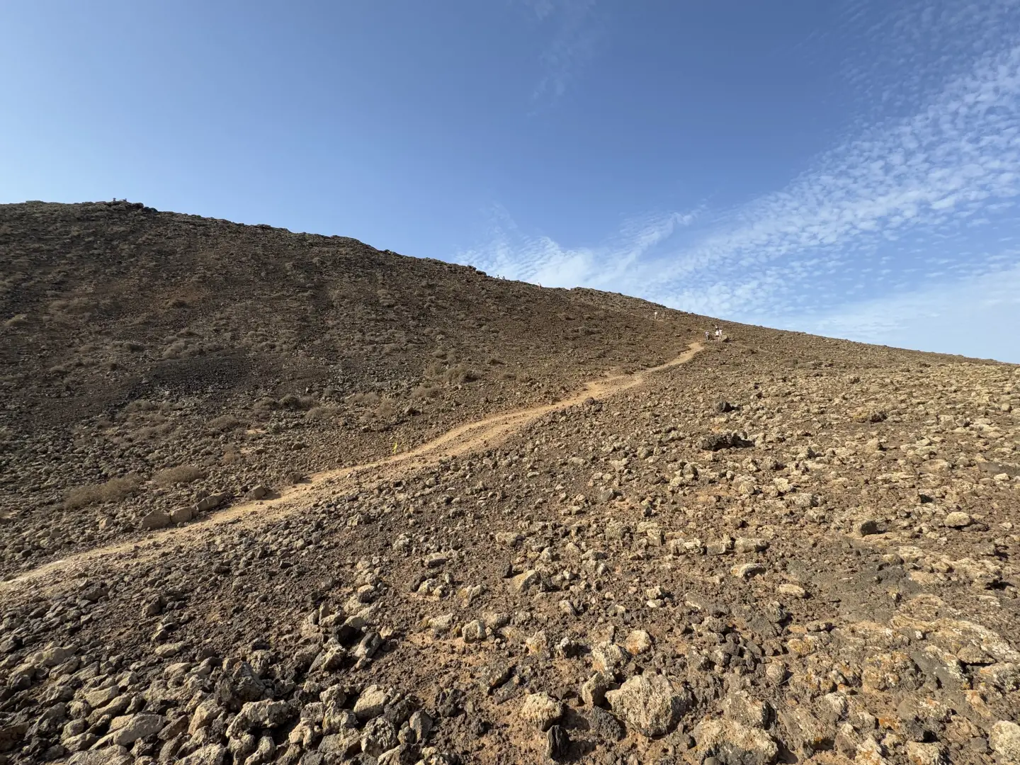
0h40' 0.55km Detour left onto the footpath leading to the edge of the crater. You will soon reach the main viewpoint, from where you can admire the caldera and, on a clear day, the islands of Lanzarote and La Graciosa.
The return trip follows the same route as the outward journey, retracing the path until returning to the starting point at the Larajes car park 0h35' 0.55km .
Points of Interest
- Lajares
- Calderón Hondo
- La Oliva
- Fuerteventura
Photo gallery


Comments (0)
Sign in to leave a comment