Bocchetta di Val Massa, from Sant'Apollonia


Edited by:
Ivano Ruffoni
Updated at: 14/11/2025
Access
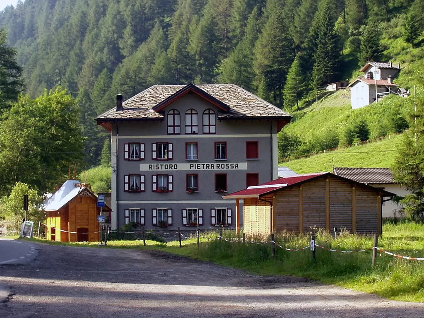
At the Ospitaletto exit of the A4 motorway, follow the local signs for Valle Camonica following the SP19 and the SP510. Near Pian Camuno go up the valley on the SS42 del Tonale e della Mendola road to Edolo, turn right towards Passo del Tonale, pass Incudine, Vezza d'Oglio, Temù and Pontedilegno. Shortly after the first hairpin bend following Pontedilegno, turn left onto the road to Passo di Gavia and climb up Valle di Pezzo to Albergo Ristoro Pietra Rossa in Sant'Apollonia, near which a renowned sulphurous water springs. Then turn left, entering the Valle delle Messi, and park immediately afterwards. Note that Pontedilegno can also be reached from Valtellina - via the Aprica Pass (SS39) and the Gavia Pass (SS300) - or from Trentino - going up the Val di Sole and the Val Vermiglio by crossing the Tonale Pass (SS42) - .
Description
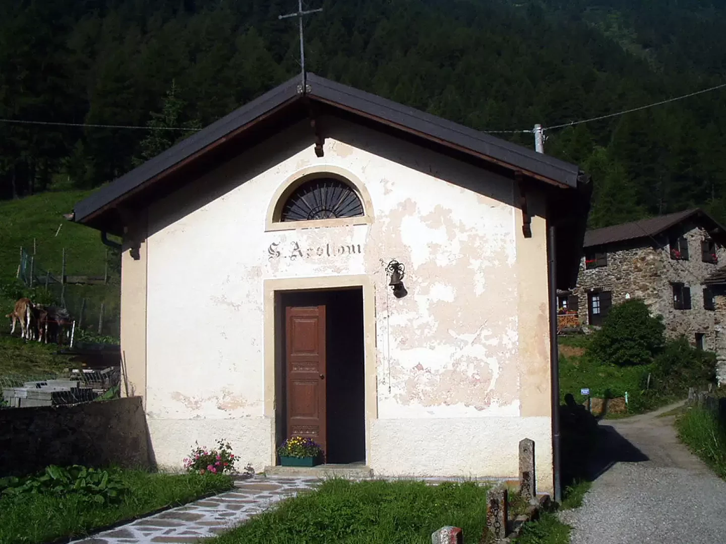
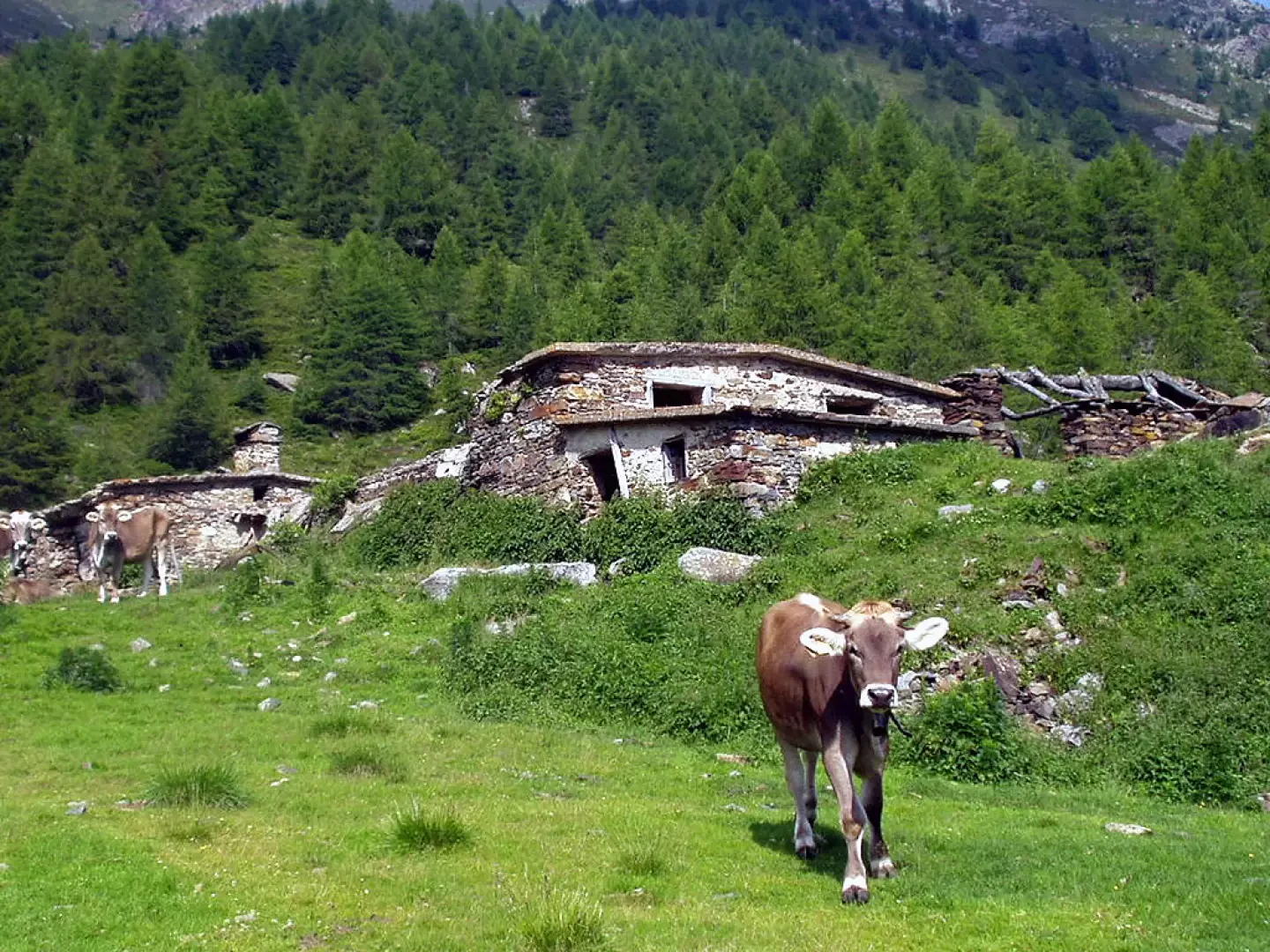
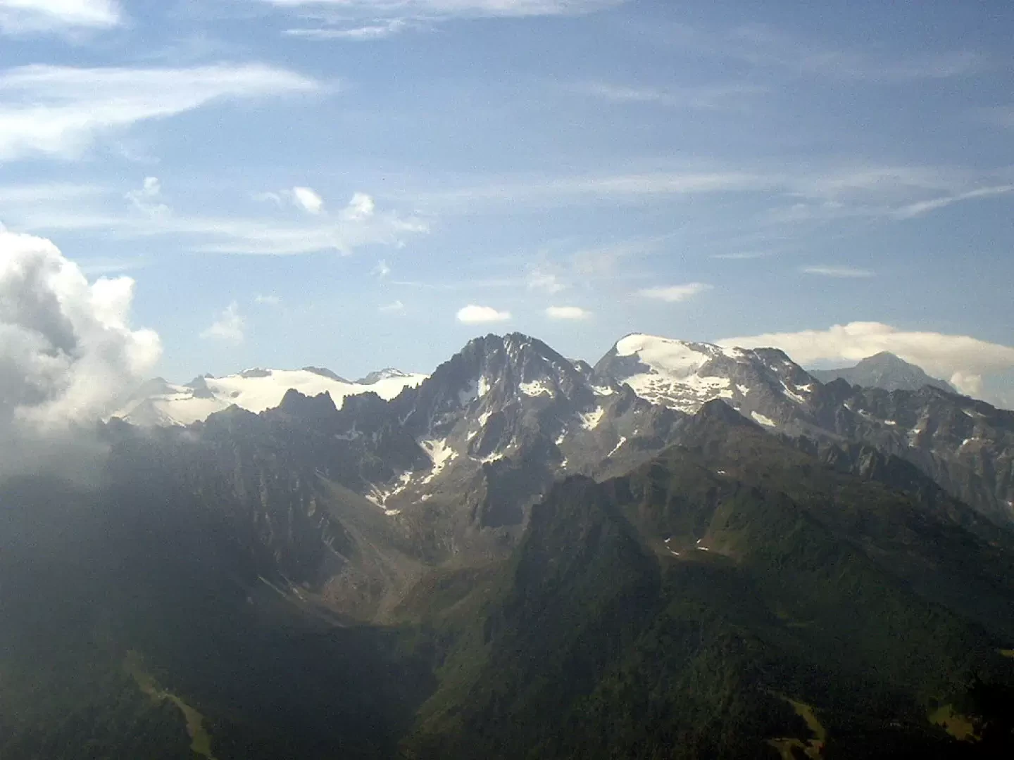
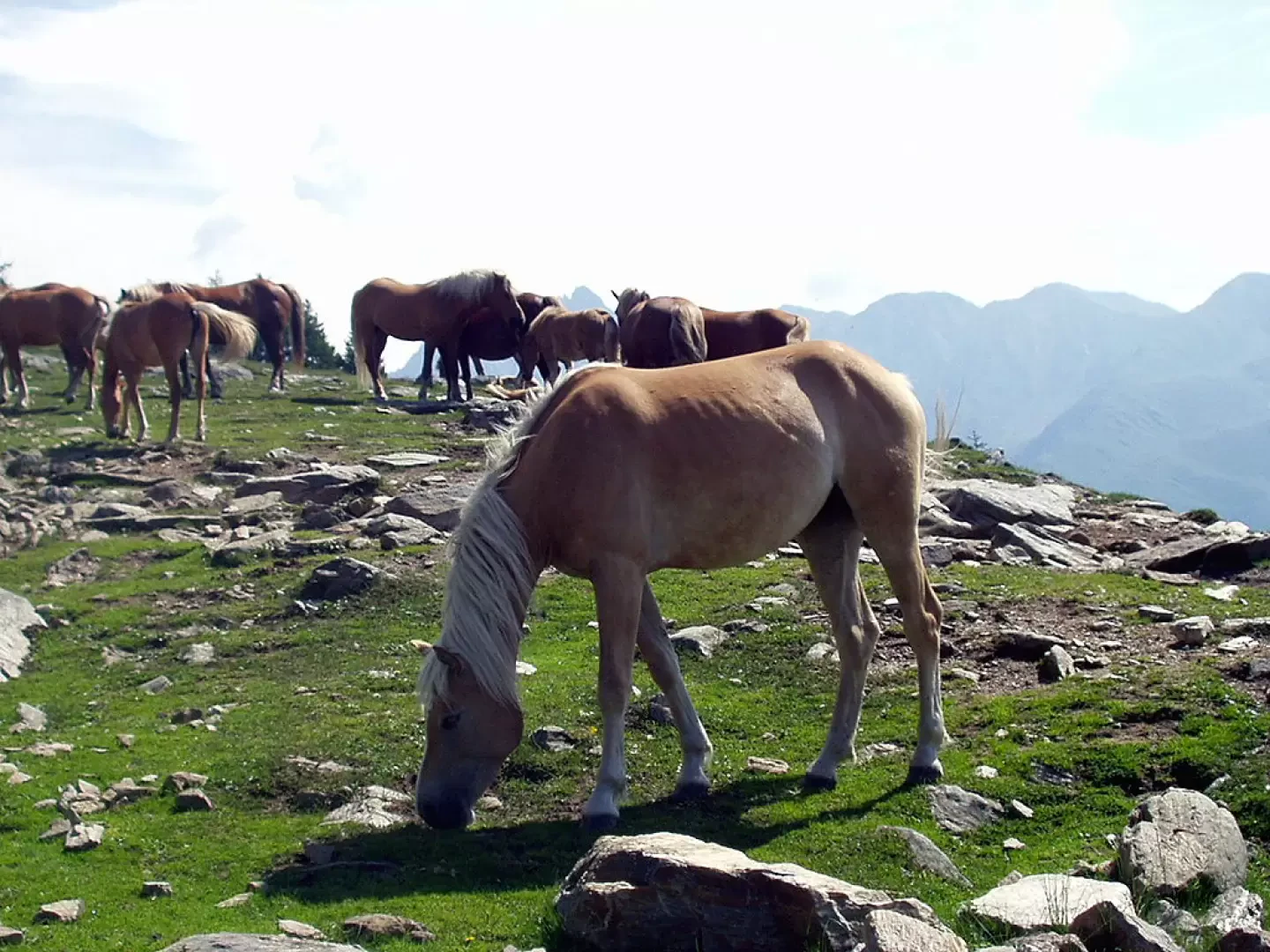
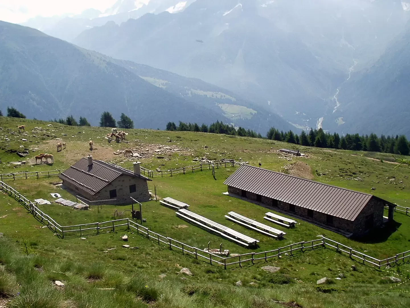
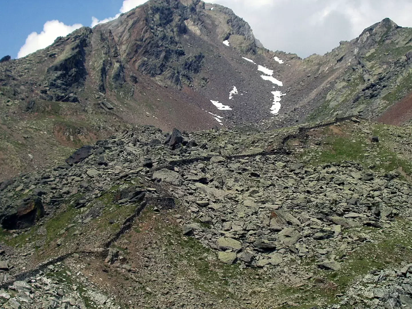
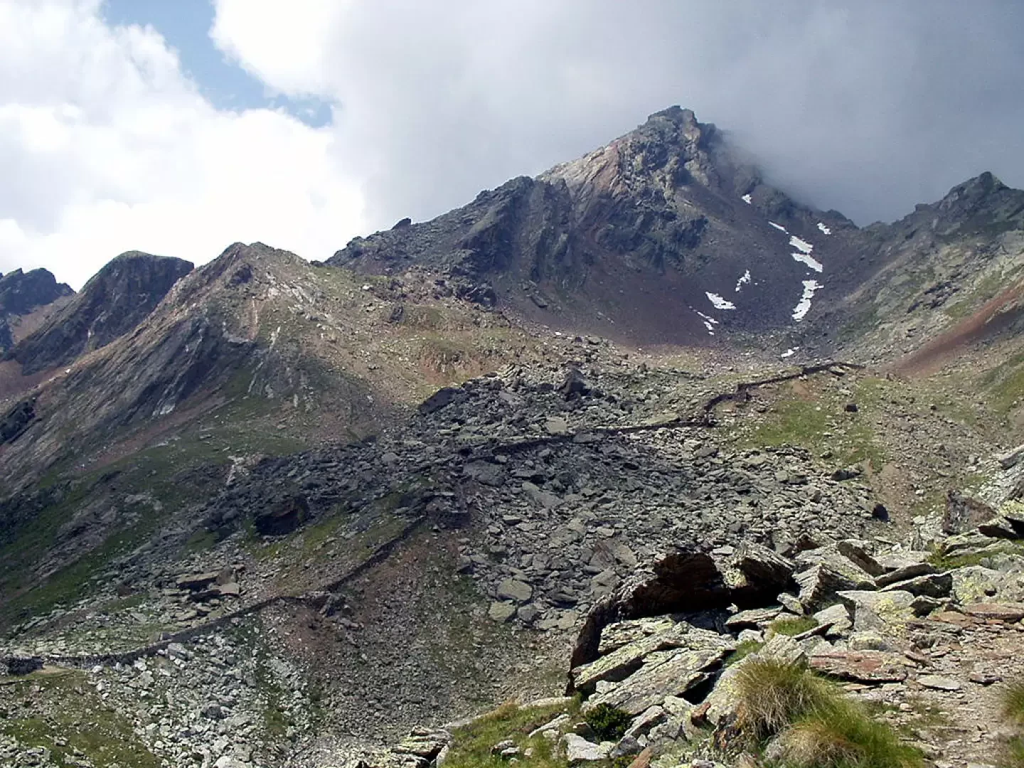
Back a few dozen metres at the spring of Sant'Apollonia and the Albergo Ristoro Pietra Rossa, turn right towards the bridge over the Frigidolfo stream and take the small road between the hotel and the little church of Sant'Apollonia. Having passed a few more houses, proceed in the direction of the Case di Tos and shortly afterwards leave the main road to take the diversions indicated on the left. Climb up into the larch wood and come out at a grassy clearing at the crossroads with the signpost [64] for Villa Dalegno on one side and Baite di Somalbosco, Laghetti Monticelli and Bivacco Linge on the other. A few more minutes and you reach the pastureland around the Baite di Somalbosco (1952m, 1h00'). Having gone around a large rocky outcrop, head left to cross the meadow basin and continue among the bushes, a few larch and fir trees with great views of the Adamello group. Almost on the level, go around a good part of the Cima Bleis di Somalbosco, pass by a watering hole, continue until you cross the military road coming from Prebalduino and climb in about three minutes to the Malga Prisigai (1259m, 1h55'), where several horses often stop to graze (warning: malga authorised for wild riding. It is forbidden to approach the equines). It is advisable to enter the malga enclosure through one of the wooden turnstiles to read the information board on the entrenched complex located at Bocchetta di Val Massa. Once you have passed the malga, turn left, climbing up through meadows and a few fir trees until you come to the signpost [55]. The mule track, which is almost always well preserved, rises up into the valley, passing by some military remains, crosses a landslide and some scree and leads to the long trench at Bocchetta di Val Massa (2499m, 2h50'). It is advisable to continue on the mule track for another 5/6 minutes to the next col to observe some observation posts. The return is along the same route: descend to the Malga Prisigai (1259m, 0h40'), return to the Baite di Somalbosco (1952m, 1h20') and descend again to the car park at Sant'Apollonia (1550m, 2h00').
Photo gallery


Comments (0)
Sign in to leave a comment