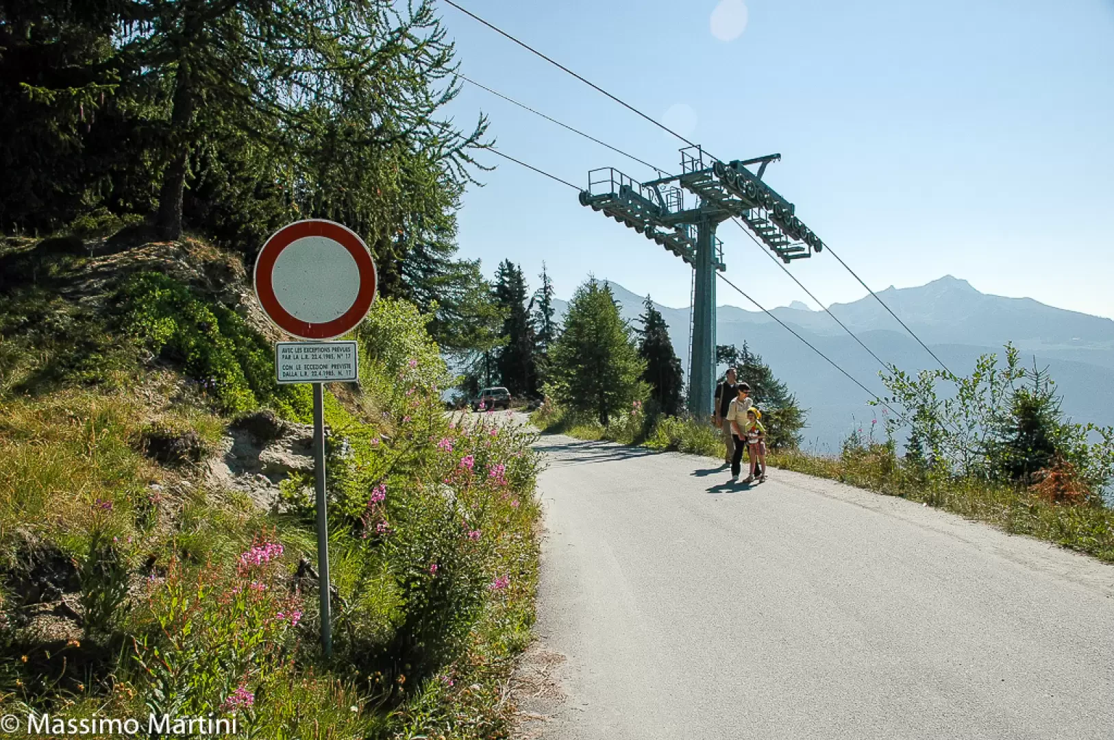
At the motorway exit of Châtillon, follow the signs for Cervinia until you reach Antey-Saint-André. When you reach the hamlet of Filey, turn left onto the regional road for Torgnon and follow it until you reach the main town. Continue following the signs for the cross-country track and picnic area until you reach the Chantorné picnic area, pass it, and continue along the tarmac road until you reach the no-entry sign located near a restaurant.
Introduction
A walk that can also be done by bicycle (on the farm road section) and that without much effort will take you to the centre of a mountain environment that still retains its intact charm.
Description
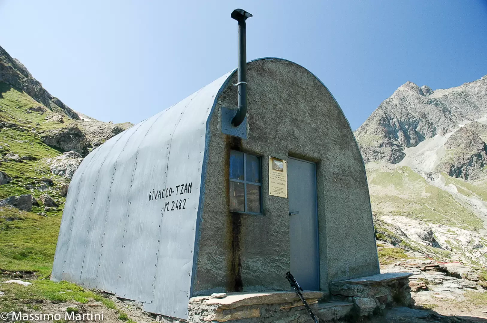
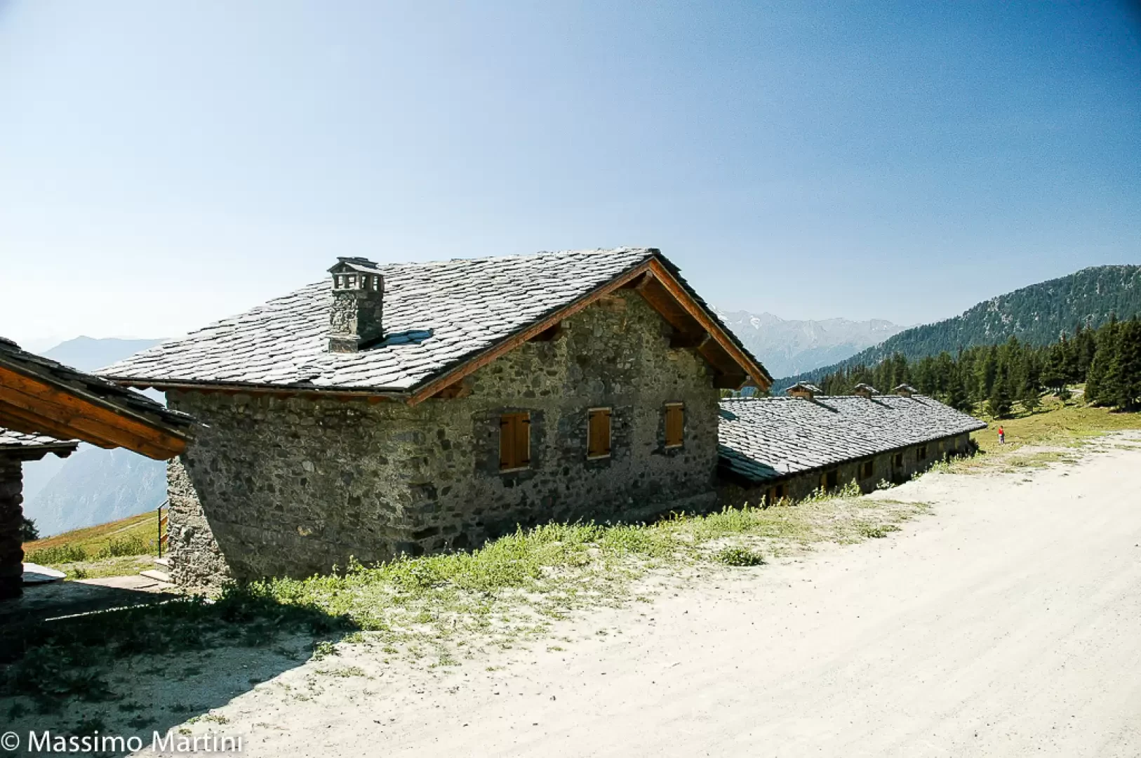
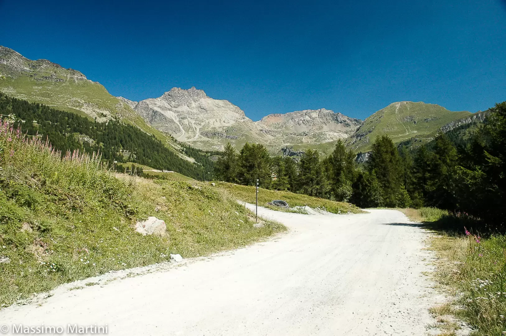
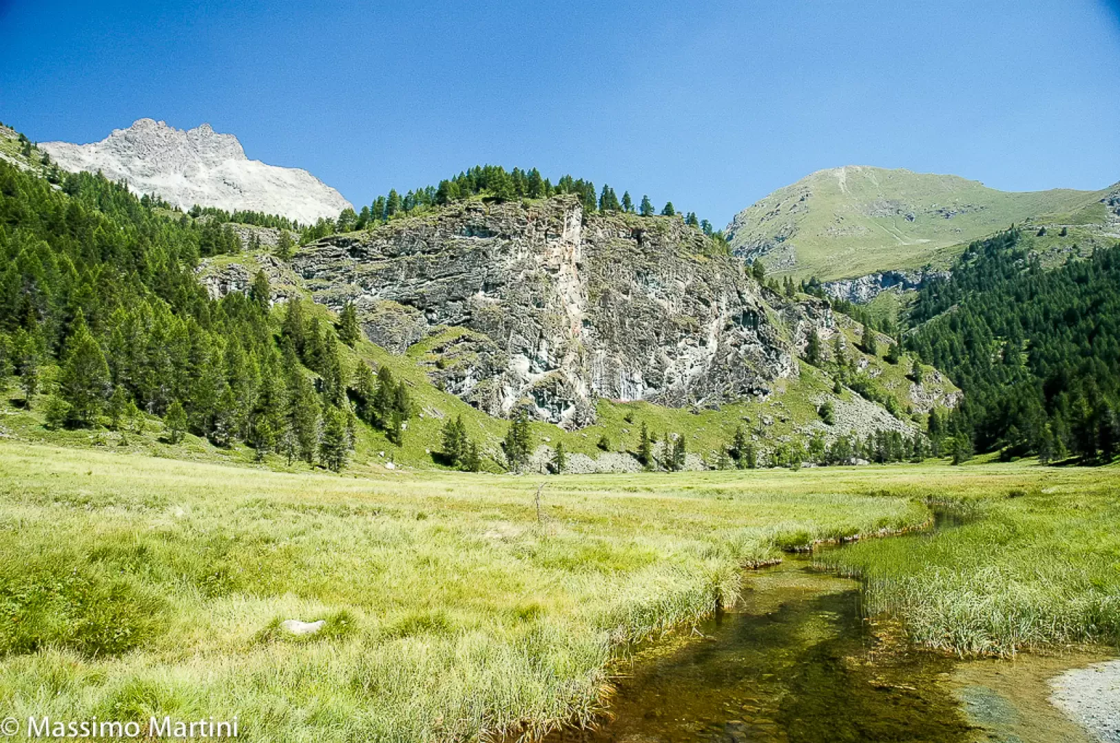
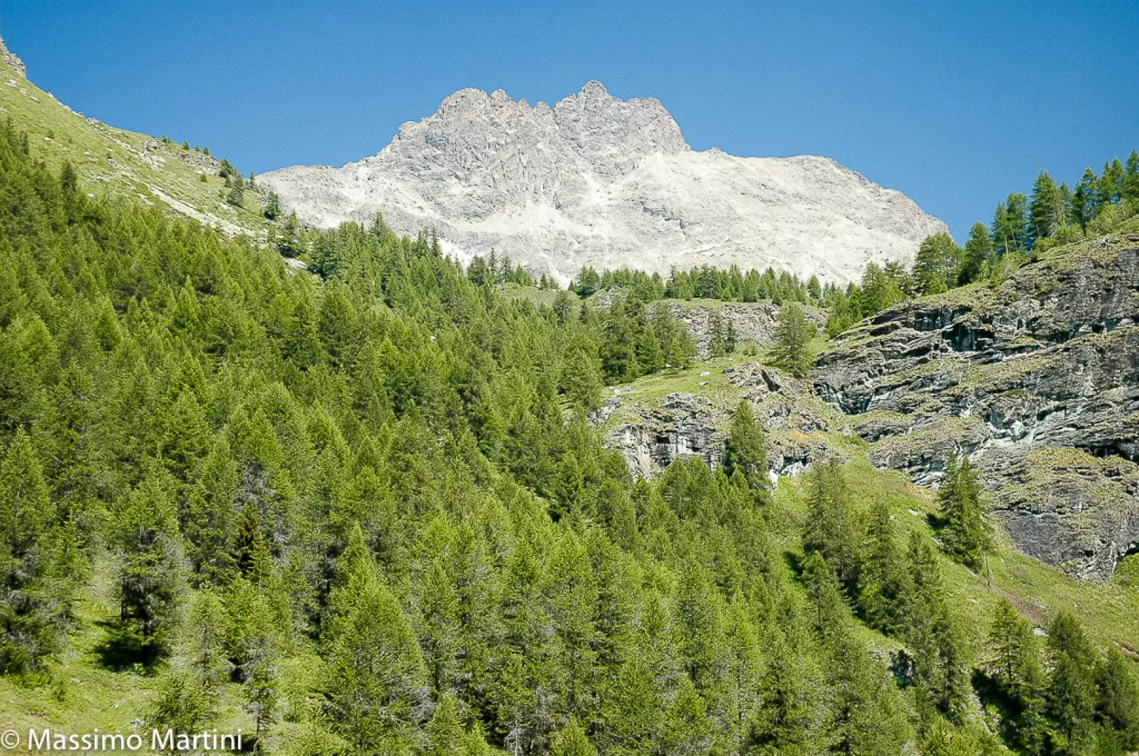
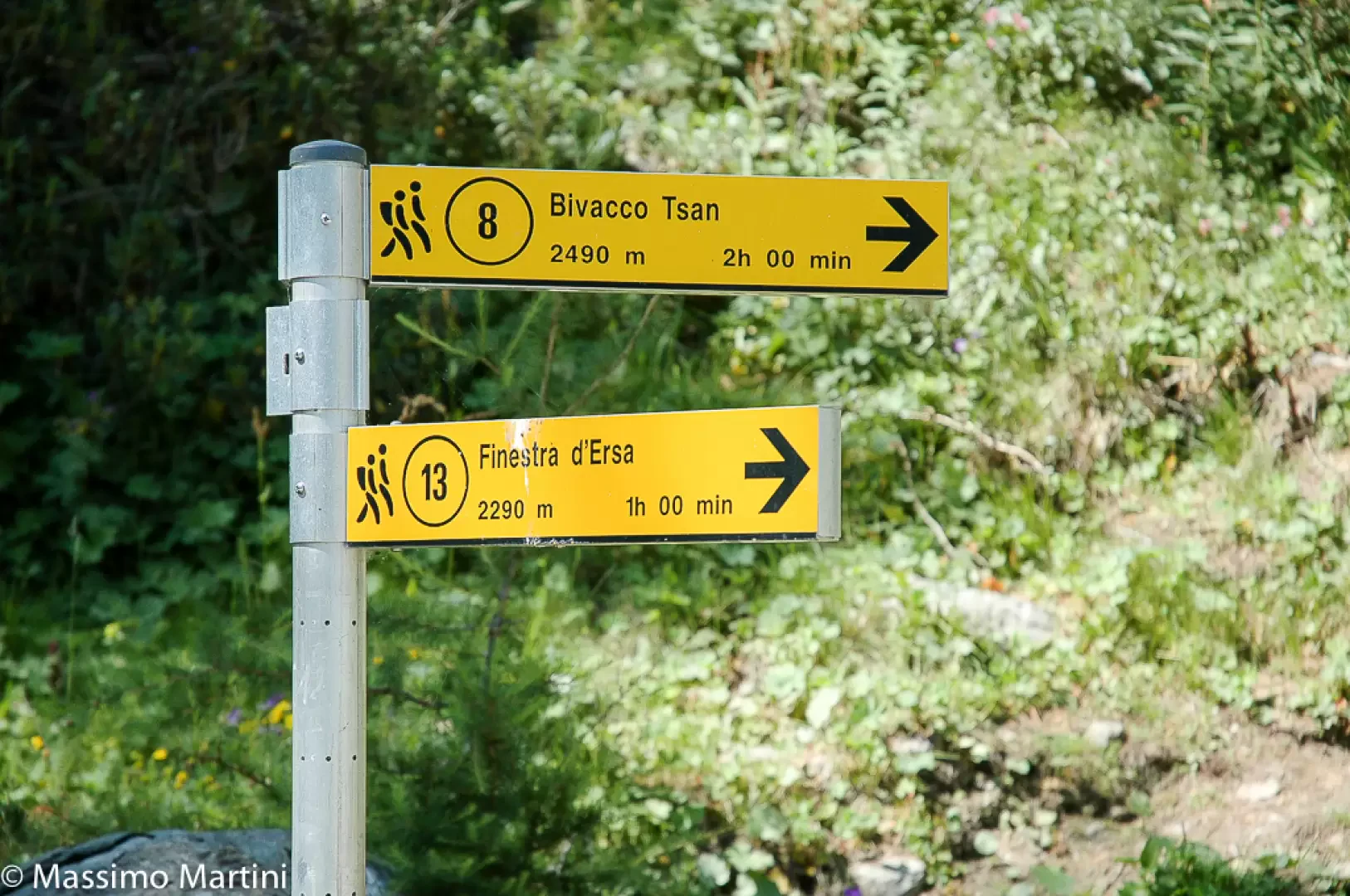
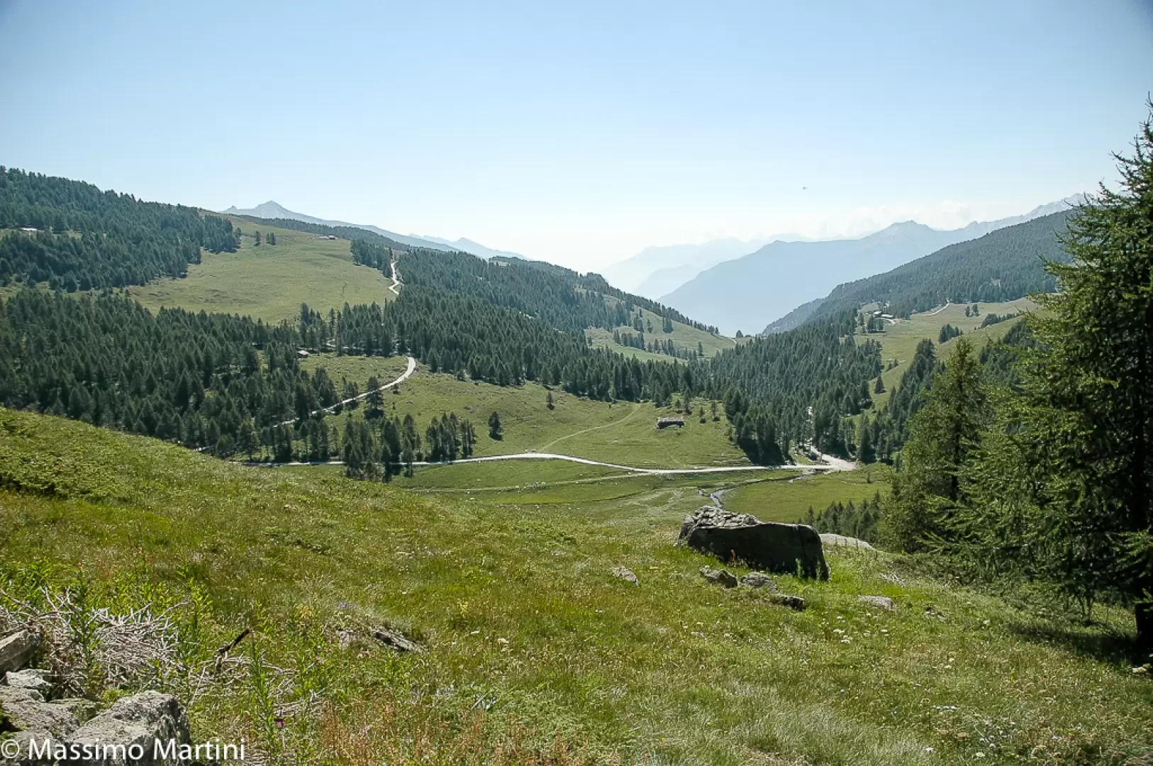
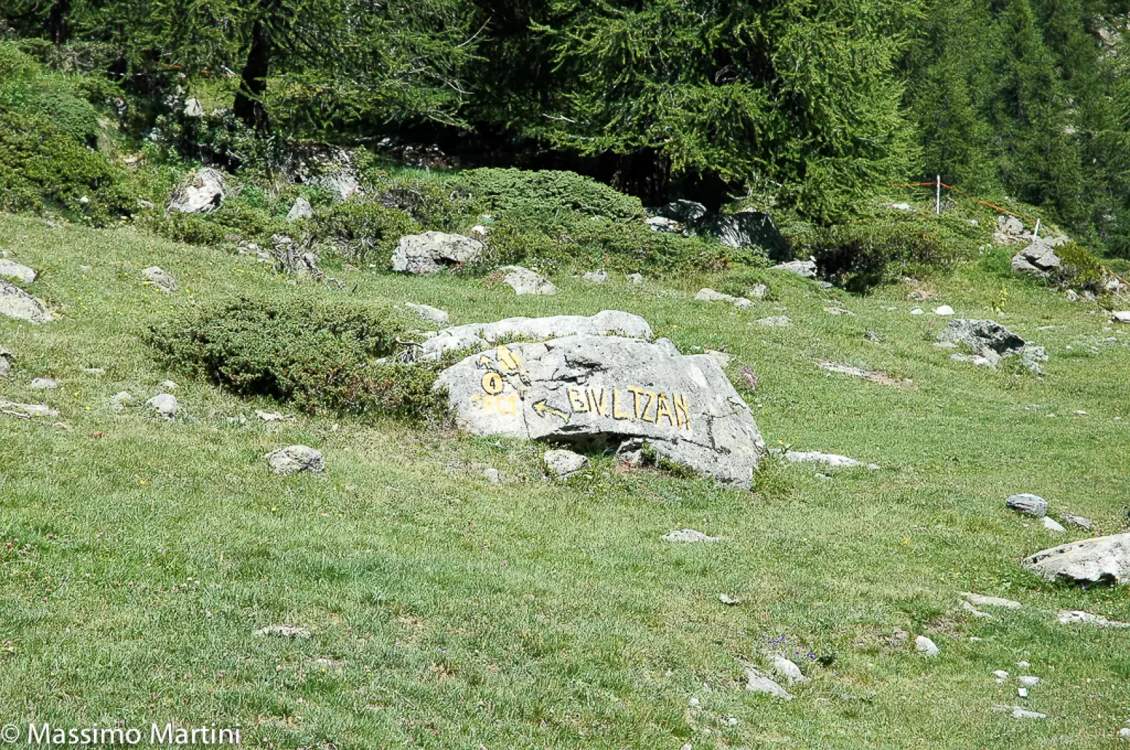
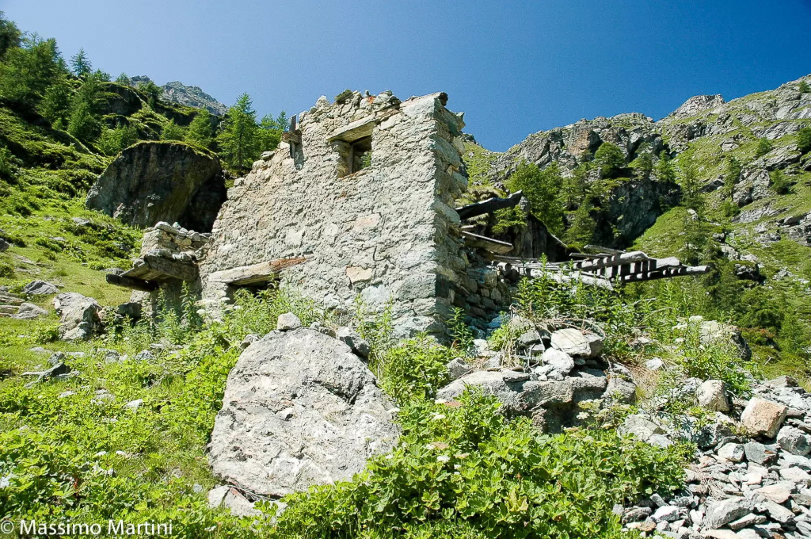
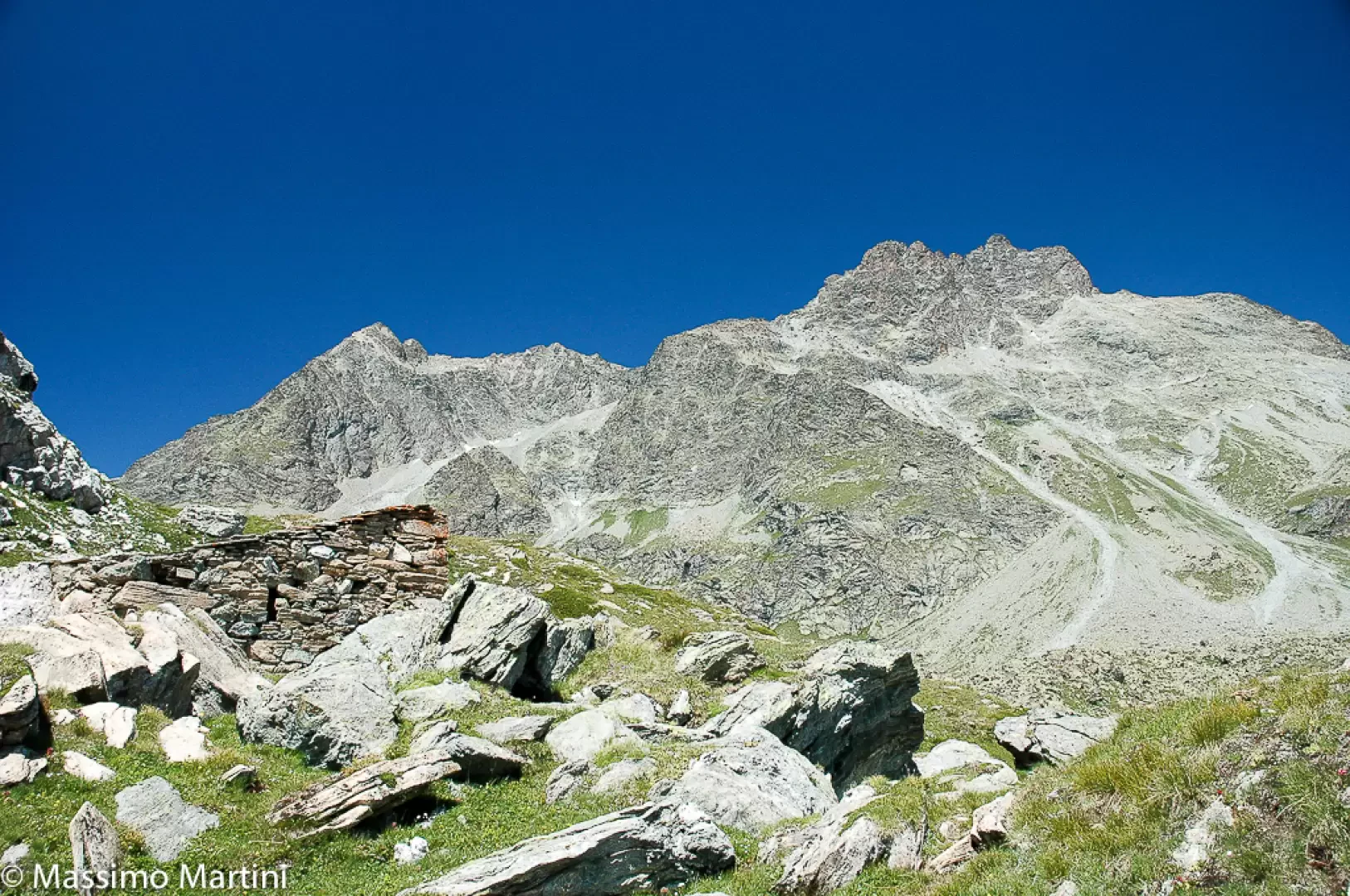
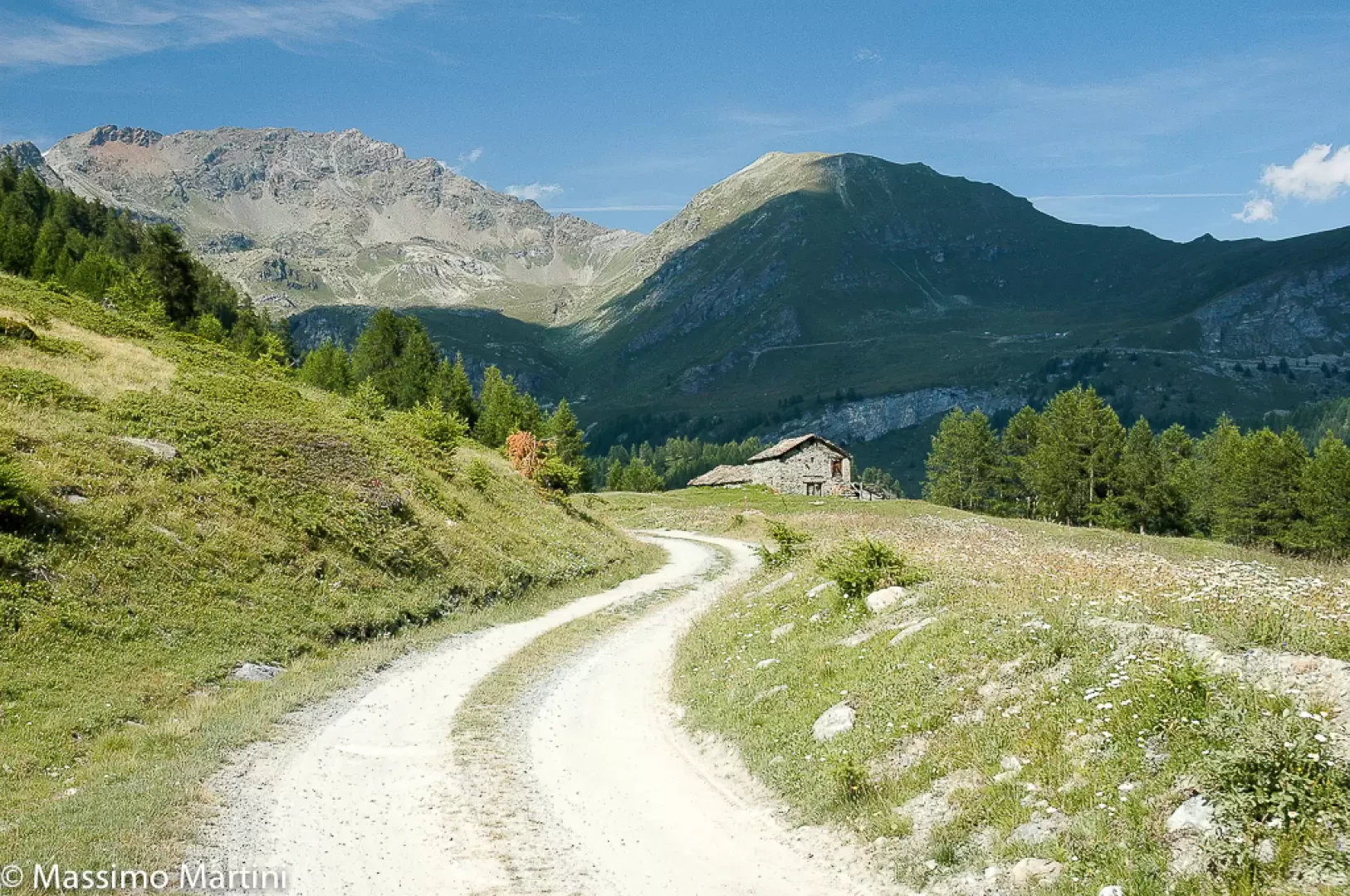
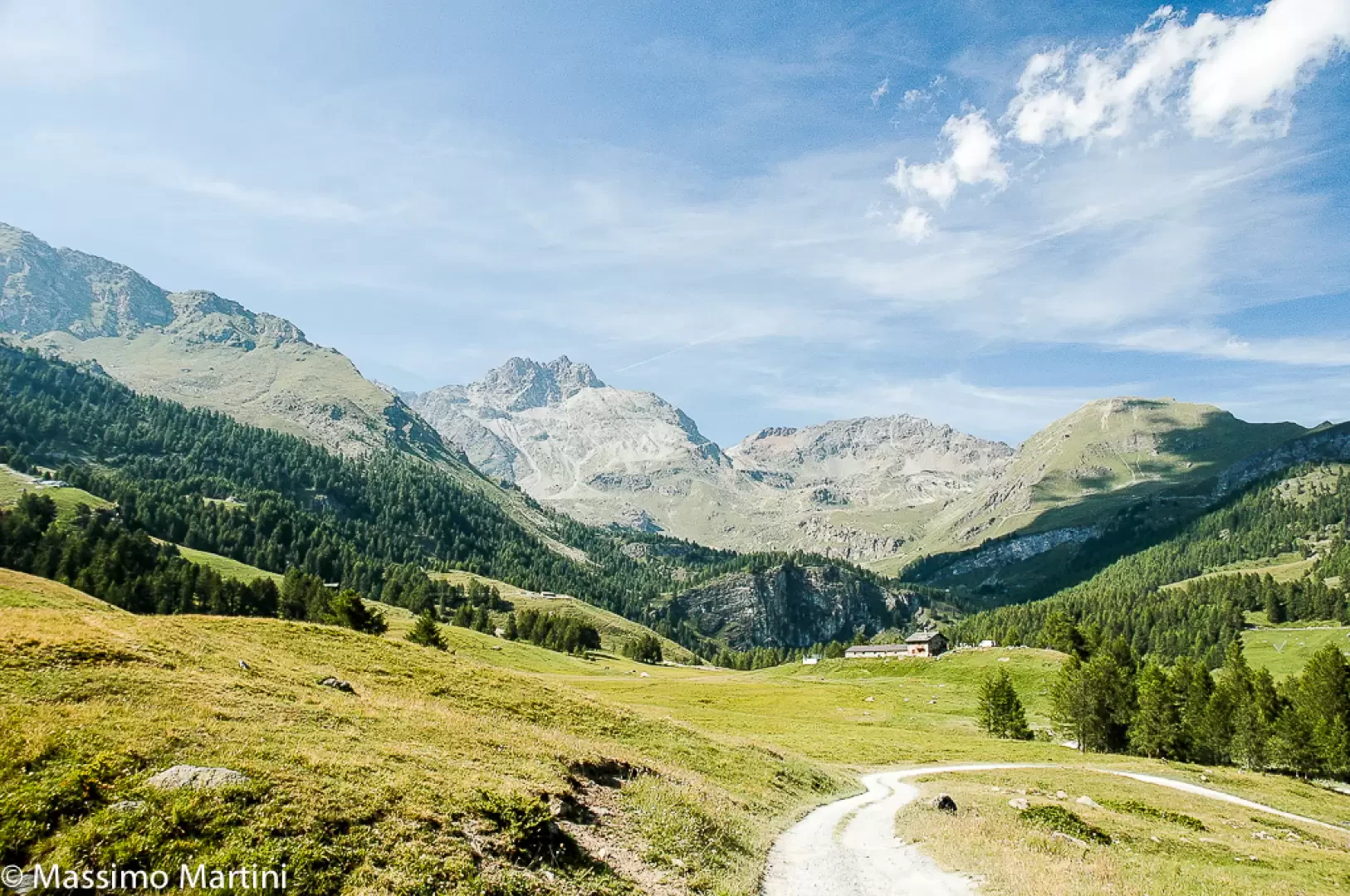
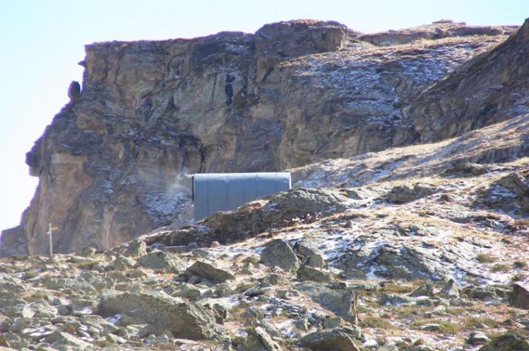
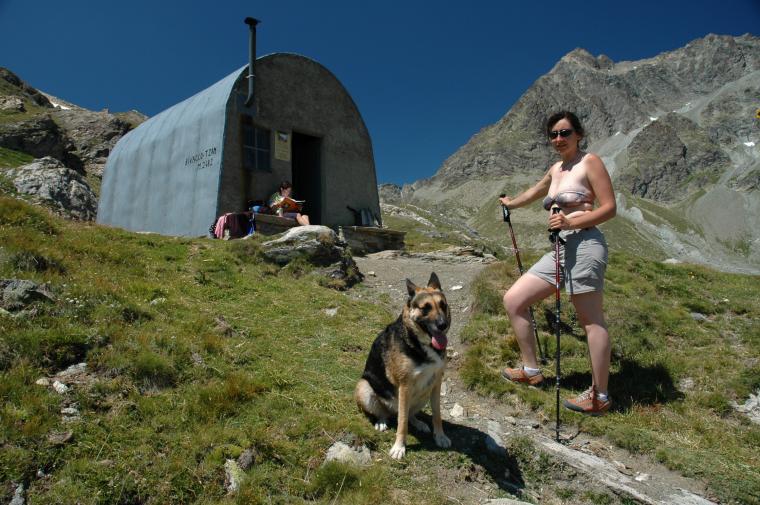
Leaving the car behind, we proceed along a flat road that is paved at first, then gravel: this first section can also be cycled. You then proceed along the road (in winter it becomes a cross-country track) crossing stretches of fir forest interspersed with gentle pastures until you reach the Châtelard Alp (1906m, 0h20'). You re-enter the forest where the road branches off shortly afterwards: keep to the left and reach a new clearing from which you can see the imposing outline of the Tsan peak (3326m). You come to a new fork in the road, and continue straight on until you reach a marshy clearing: the Loditor (1933m, 1h20'). Here you will come across a signpost indicating that you should follow the path (8), which is on the left of the bridge. The first section of the path is uphill, but occasionally the gradient softens. We pass an alpine pasture on the right and ascend the forest until we reach the channel of Verrayes, which we walk along for a while. Shortly afterwards, we come across the remains of the Ospice de Chavacour (2080m, 1h50') We cross a farm road again and shortly afterwards turn left onto a path at the obvious sign Biv. Tzan (2122m, 2h10'). You begin to climb the ridge, pass a ruin and pass under a rocky ridge before reaching a small plateau: here you come to the fork for Cima Bianca (3009m). Turn right and cross some alpine pastures to reach the Tsan bivouac (2482m, 3h00'). The descent follows the same route as the outward journey.
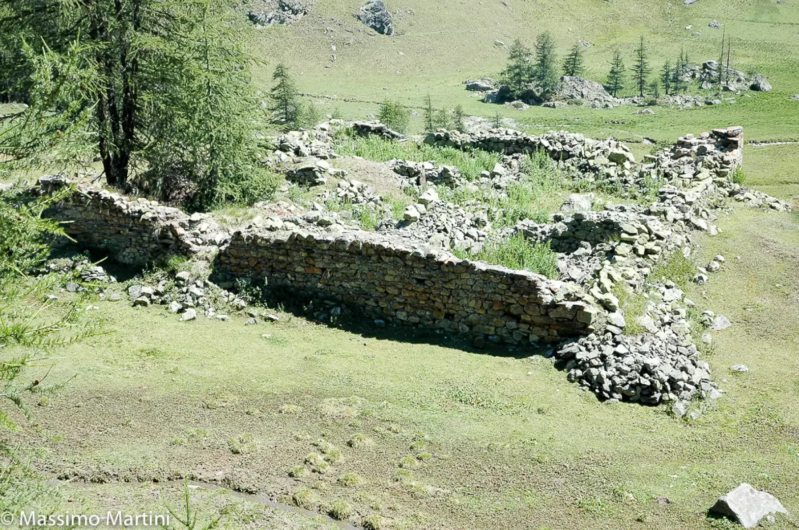
Along the way, the remains of a building, the Ospice de Chavacour, can be seen, which was probably used in the past as a shelter for pilgrims passing through the Valais.
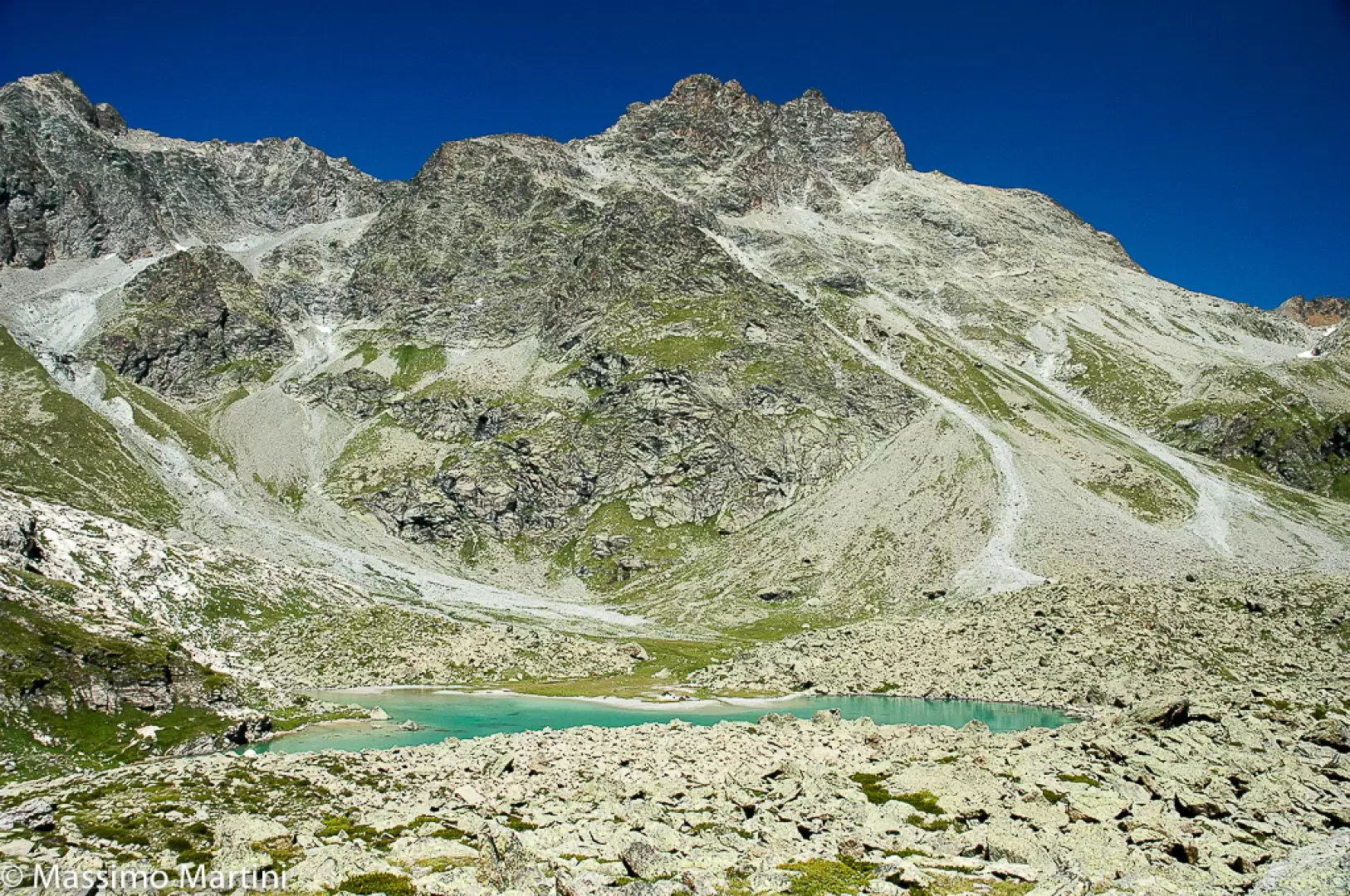
A stone's throw from the bivouac is the beautiful Tsan Lake, in which, on fine days, we can admire the reflection of the Tsan Peak.
General Information
Pathway: from Champtorné Type of route: a/r Recommended period: June, July, August, September, October Objective Dangernone Exposure to the sun: east Exposed sections:none Water: Departure, Alpe Châtelard, Tsan Bivouac
Bibliographical references
Martini M., Zavatta L., Rifugi e Bivacchi della Valle d'Aosta, Editrek e L'escursionista Editore, Saint-Vincent - Rimini, 2012
Luca Zavatta, Le valli del Cervino, L'Escursionista Editore, Rimini, 2005
Gino Buscaini, Alpi Pennine Vol.2, Guida dei Monti d'Italia, CAI e TCI, Milano, 1970
Maria Cristina Ronc, Comunità Montana Monte Cervino, Torino, 2000
Valtournenche, Monte Cervino and Val d'Ayas west, Map of trails sheet 7, scale 1:25.000, L'Escursionista Editore, Rimini, 2005
Mountaineering Community Mount Cervino - Sheet 2 - scale 1 : 25,000
Sono salito al bivacco Tzan lo scorso 19 Agosto.
Il percorso è veramente stupendo e un po' faticoso causa il primo tratto di poderale (peraltro poco segnalato nei vari bivi che conducono agli alpeggi).
Comunque ne vale la pena......
Ven 22 Ago, 2008 10:34 am
Peccato per il tempo nuvoloso,appena arrivati al bivacco ha cominciato persino a grandinare. La parte iniziale pianeggiante è piuttosto lunga (1h30) e al ritorno sembra non finire mai (o forse sembrava così a noi perché eravamo sotto la pioggia?!?), comunque è una bella passeggiata.
Abbiamo percorso questo itinerario il primo agosto 2004: giornata stupenda.
Un appunto: vi sono alcune incongruenze nella segnaletica: in alcuni casi è indicato il sentiero 8 (credo sia la vecchia segnaletica) ed in altri punti è indicato il sentiero 4. Si tratta comunque dello stesso itinerario.
Abbiamo percorso questo itinerario il primo agosto 2004: giornata stupenda.
Un appunto: vi sono alcune incongruenze nella segnaletica: in alcuni casi è indicato il sentiero 8 (credo sia la vecchia segnaletica) ed in altri punti è indicato il sentiero 4. Si tratta comunque dello stesso itinerario.




Comments (0)
Sign in to leave a comment