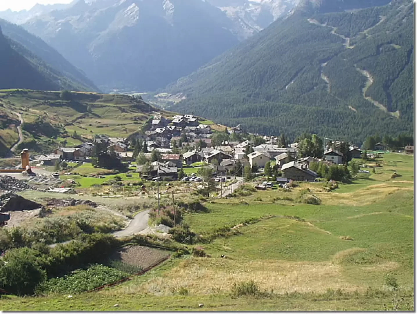
At the motorway exit of Aosta Ovest, turn right onto the SR47 for the Cogne valley. After crossing Aymavilles, the road climbs the valley, passing the villages of Vieyes, Epinel and Crétaz until it reaches Cogne. Now follow the signs for the hamlet of Gimillan, which can be reached after a few hairpin bends. When you arrive in Gimillan, turn right and, after a semicircle, drive to the upper car park, near the playground and football field. Note: during the summer season, this car park may be fully occupied. However, there are three other car parks available in Gimillan.
Introduction
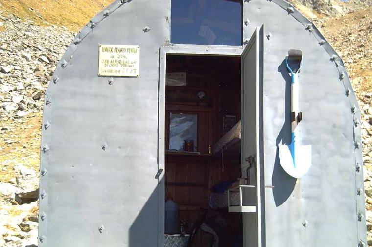
The Franco Nebbia bivouac, located on a debris terrace below Col and Lake Garin, was inaugurated in July 2005. The bivouac originates from Lake Luseney in the Vallon de Saint-Barthélemy, where it was placed in 1958. From the area there are great views of the Gran Paradiso and the Grivola. It is recommended to complete the hike by climbing both Col Garin (wide panorama over the Arbolle valley) and Lake Garin.
.
Description
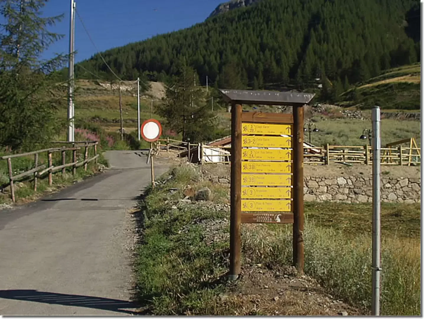
From the upper car park at Gimillan (1814m), follow the tarmac road, marker
, to Col Garin. At the first hairpin bend, pass by a little chapel dedicated to "Marie Immaculée", continue underneath the high-tension pylons (with the noisy noise of the surrounding air ionised by the electromagnetic field) and climb up to the houses of Plan de Teppe. Follow the road to the right and, before the Gimillian stream, ascend the forest path to the left until it crosses the track, marker (3B), to Tsaplana. Continue into the wood, which is becoming increasingly sparse, and come out onto the grassy slopes that descend from Pointe Arpisson and, after a long diagonal, go round a panoramic hump on Plan Bessey. Slightly downhill, cross some footbridges and climb up to the Arpisson pasture (2328m, 1h30'). Neglecting, on the left, the marker (2) for Epinel, go around the building on the right and climb up the meadows to the junction with the marker
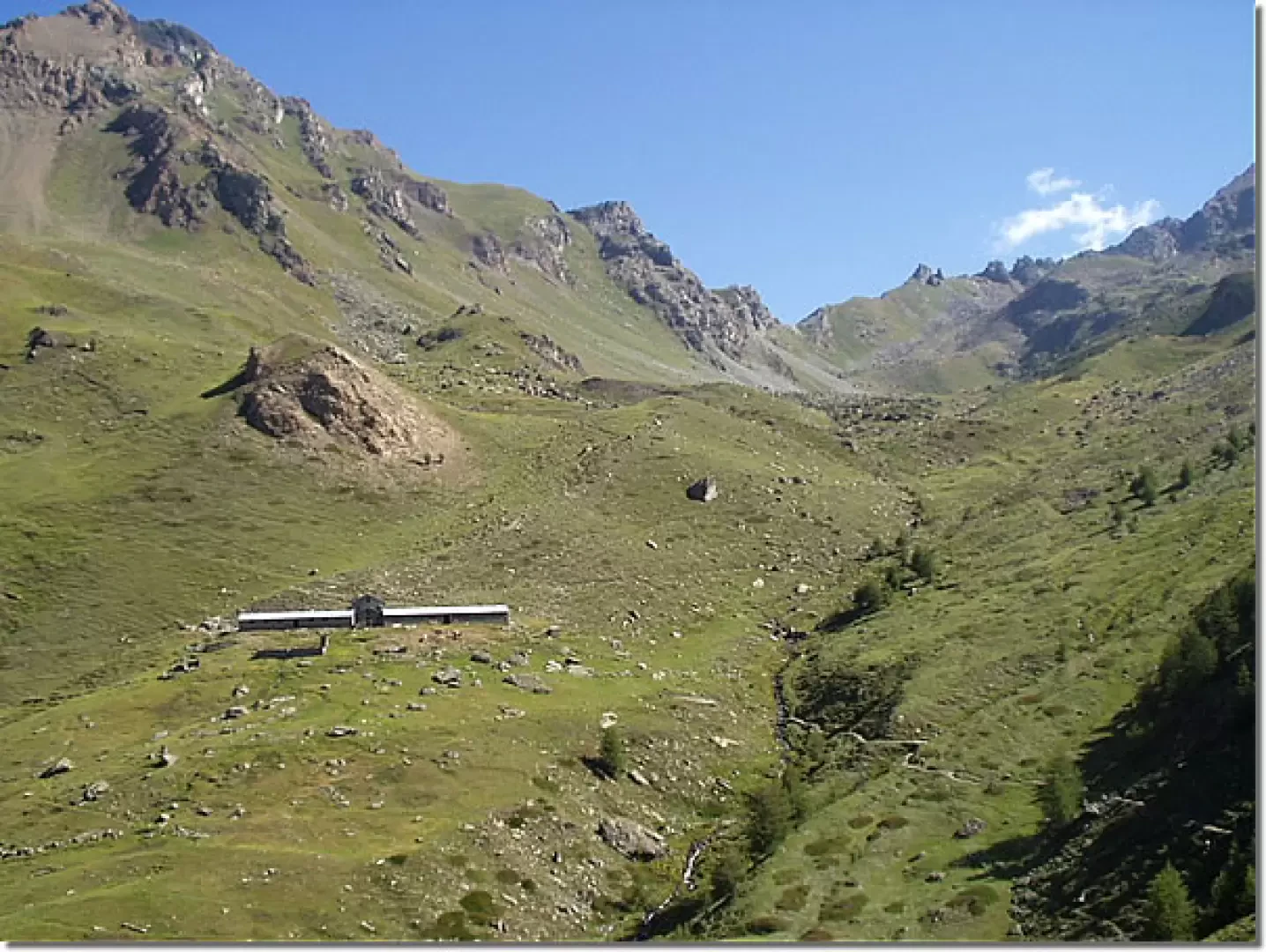
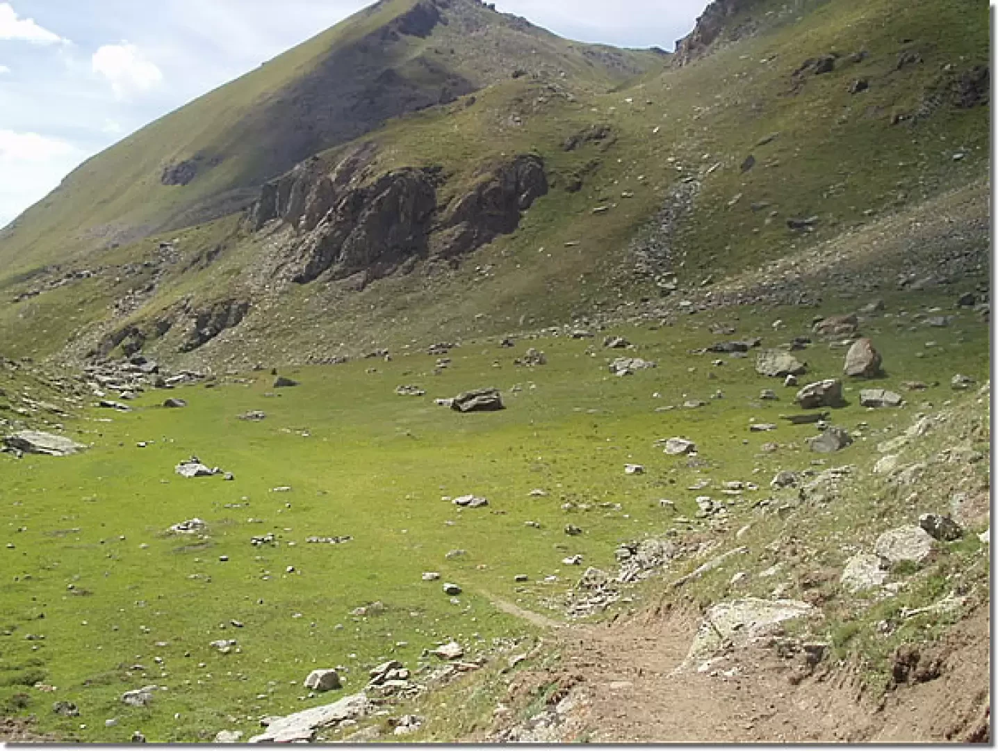
for Col Tsa Sétse. Continue to the right and enter Plan Bessey, between modest grassy outcrops and bucolic plateaus. Further on, cross a scree slope to the right and immediately follow a diagonal to the left on a grassy slope. One last stretch and you reach the scree terrace where the Nebbia bivouac stands (2741m, 3h00'). The descent follows the same route: down to Arpisson (2328m, 0h45') and back to the car park (1603m, 2h00').


Comments (0)
Sign in to leave a comment