Leave the [A5] motorway at the Aosta Est exit and continue along the motorway slip road for 350 metres (0.35 km). Take the exit onto the state road towards Aosta Centro for 100m (0.45km). At the roundabout, take the second exit and continue on the for 2.6km (3.05km). At the next roundabout, take the first exit and join Viale del Gran San Bernardo, following it for 3.3 km (6.35 km) until you join the . Follow the for 10.9 km (17.25 km), passing through the village of Gignod, until you reach the junction for Buthier Gorrey. Turn left and take the local road to Buthier Gorrey, following it for 2.5 km (19.75 km). Turn slightly right and continue for 800 metres (20.55 km), then go straight on for 1.1 km (21.65 km) until you reach the car park.
Car park
At the end of the tarmac road, in the hamlet of Mendey, there is a free 🅿️ car park. This is the starting point of the route to the Chaligne Mountain Hut.
Access by public transport
To reach the starting point of the route, you will need a private vehicle, as Mendey is not served by public transport.
The route described is a diversion due to the closure of the A5-SS27/E27 link tunnel and remains valid until the end of June 2027. Once the tunnel reopens, the route will need to be revised to return to the standard route.
Information note
The directions provided were verified on the date the route was surveyed. Before setting off, we recommend checking for any changes to the route or road conditions. For up-to-date information, please consult Google Maps or Apple Maps.
Introduction
A partly circular route leading to Mont Labiez, in the Gignod area, ascending from the Mendey car park through the valley of the Ars stream and returning via a separate path through Collet and Meriau-dessus; only the upper section, around the Costa Labiez ridge, forms a complete loop.
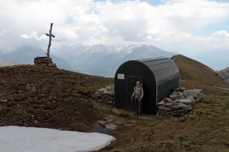
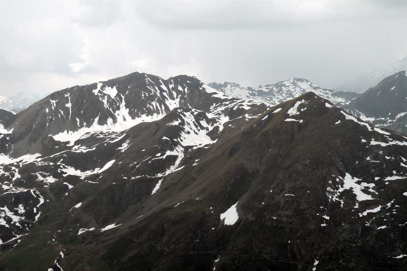
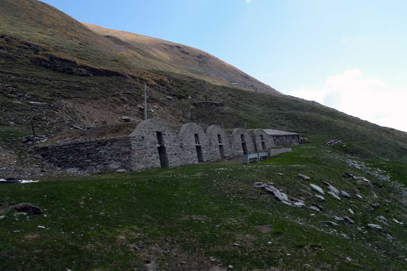
The route is marked by a succession of historic mountain pastures: Meriau dessous and Praz Gallet on the ascent, then the Ars mountain pasture, and on the descent, Collet and Meriau dessus. From the pastures of Meriau dessous, there are views of Mont Saron and Mont Gelé. Beyond Ars, the route leaves the dirt track to climb, along a footpath, up to the ruins of the Crépon mountain pasture and then on to Costa Labiez, where you reach the Forest Rangers’ bivouac, dedicated to Millet and marked by a wooden cross. On the descent, the route traverses the ridge towards the Col d’Ars and descends to the Tsa d’Ars mountain pastures, whose tall building is recognisable by its distinctive stone vaults.
The section leading from the ruins of Crépon to the bivouac follows a narrow track, which is at times difficult to follow due to low vegetation; the onward route along the ridge towards the summit and the traverse towards the Col d’Ars require careful navigation as there are no continuous signposts. The remainder of the route follows unpaved alpine tracks.
Description
0h00'0.00km
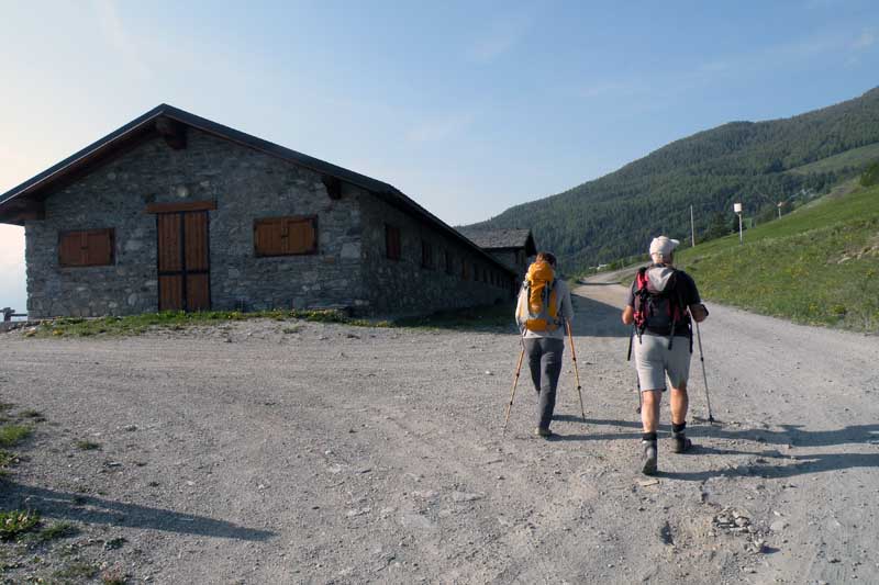
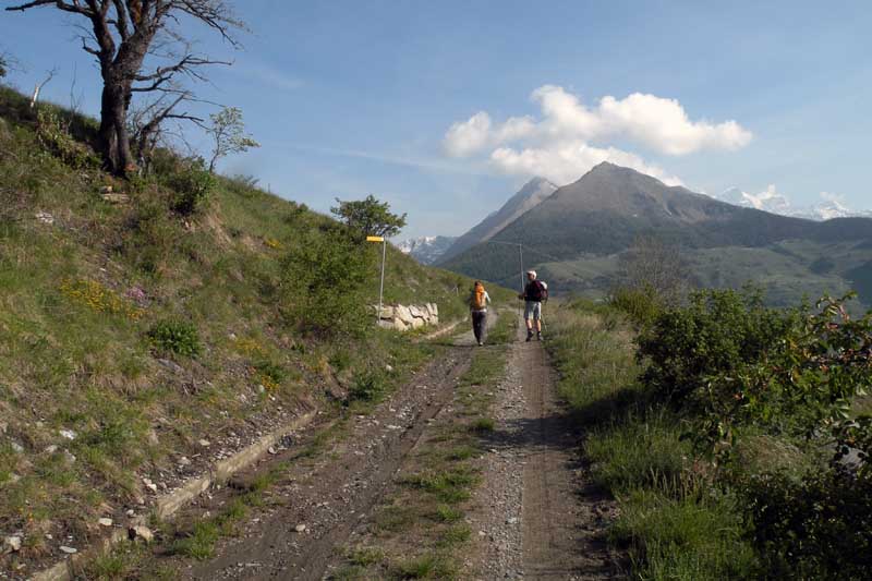
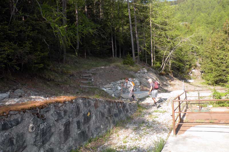
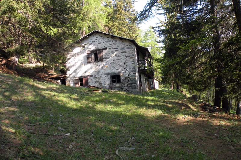
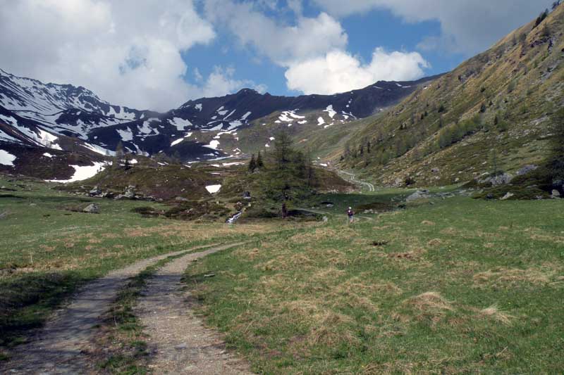
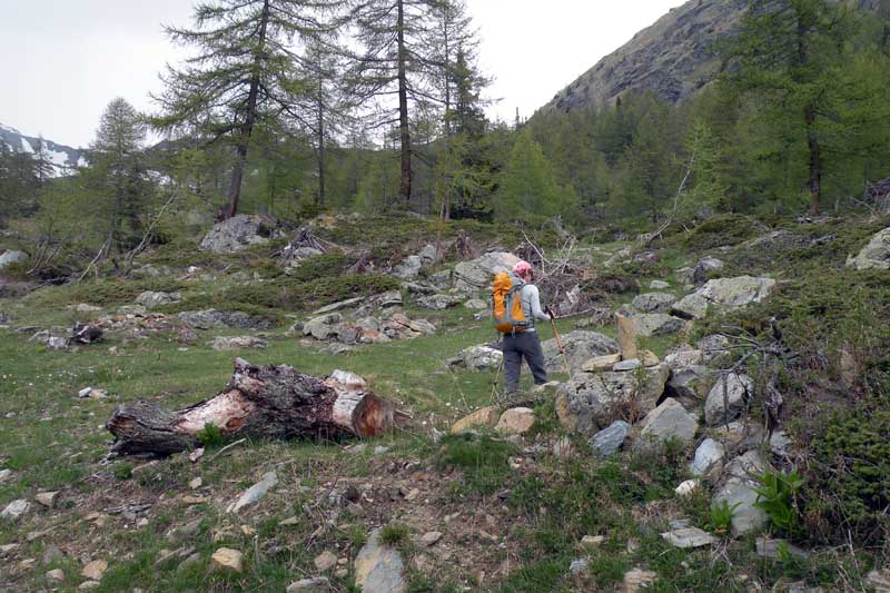
From the car park, head towards a signpost and take the farm track that branches off to the right towards Lanche (3h00'). The track, which is not particularly steep, winds through the dense Vaudrace woodland. At the first bend, cross the Clusaz stream and then, after two hairpin bends, gain a little altitude before continuing to follow the hillside, still on a gentle incline, until you reach the pastures of theMeriau dessous mountain pasture (1,583 m), just visible on the left. The pasture gives way to a few glimpses of Mont Saron and Mont Gelé. Turn slightly left to enter the catchment area of the Ars stream. Continue through the coniferous woodland, climbing gently, until you reach thePraz Gallet mountain pasture (1,626 m), which lies to your right, and, a little further on, a fork in the track.
0h40'2.57km
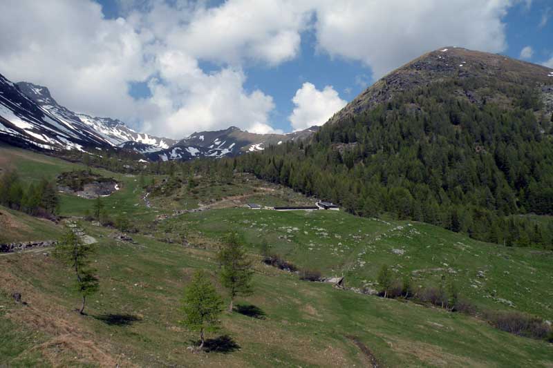
Keep to the track on the left — you can make out the markings on a boulder half-hidden by vegetation — and climb up the valley on a fairly steep slope. The woodland gradually thins out and the view opens up onto the lower part of the Comba d’Ars. Leave the woodland and, with a quick diagonal traverse, reach a signpost indicating the junction with the dirt track coming from Collet.
1h30'4.11km
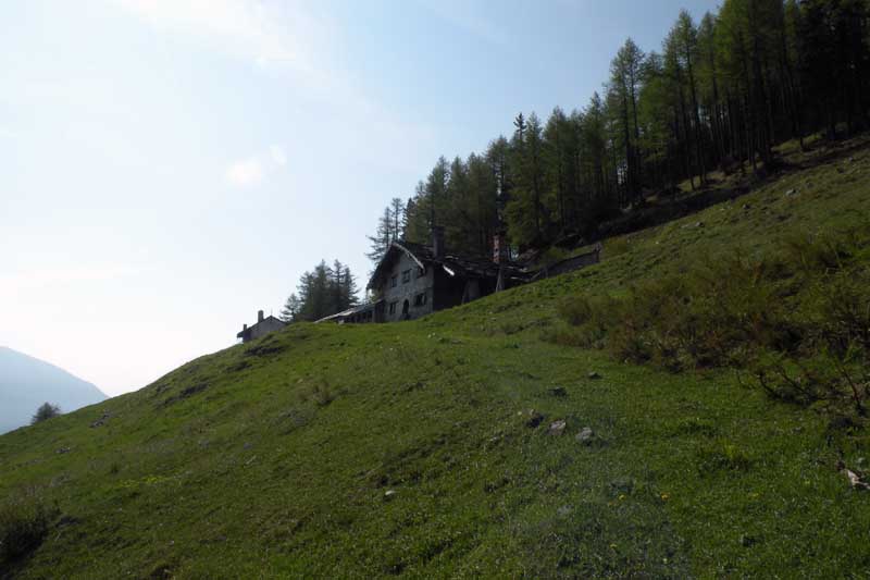
Continue to the right along the dirt track and, in a few minutes, you’ll reach the Ars mountain pasture (1,974m). Leave the mountain pasture on your right and take a couple of hairpin bends until you come to a small cairn (2,039m) on the right-hand side of the track, which marks the barely visible path.
1h40'4.74km [to be completed] Follow the yellow markings, which are a little faded in places, and head uphill through the woods, alternating between more open stretches and cooler sections. Cross the stream and climb the southern slopes of Costa Labiez with a series of sharp bends; after rounding a rocky spur, at an altitude of around 2,150m the path heads northwards, cutting across the now grassy hillside, until it reaches the ruins of the Crépon mountain pasture (2,253m).
2h22'5.99km
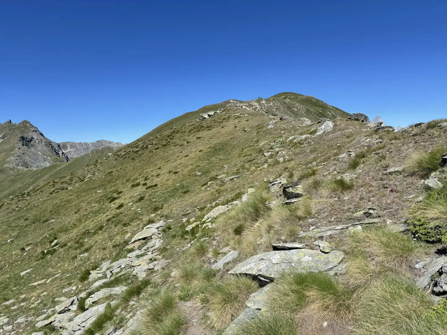
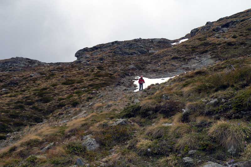
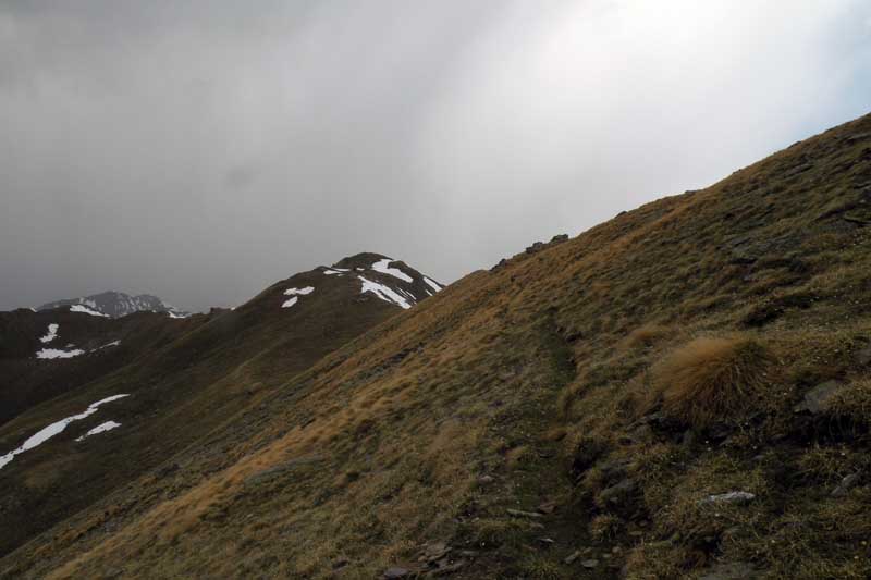
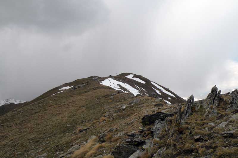
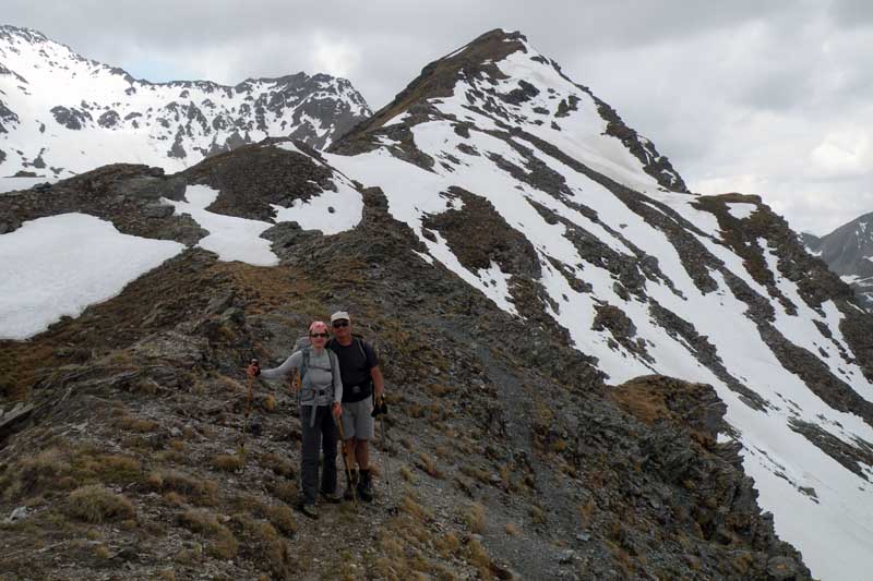
Go round the ruins of Crépon and head up above them, where you’ll come across a faint but discernible trail. Climb the steep slope along the narrow path, which is occasionally obstructed by the odd solitary larch or juniper; despite this vegetation, the path remains discernible, so gain altitude quickly, veering to the left, until you reach a small scree slope where you turn left to reach the ridge of Costa Labiez. Continue along a steep ascent until you spot the forest bivouac. Continue along the ridge for a flat stretch and, after a short climb, reach the Forest Rangers’ bivouac (2,615 m), dedicated to Millet, near which there is a wooden cross.
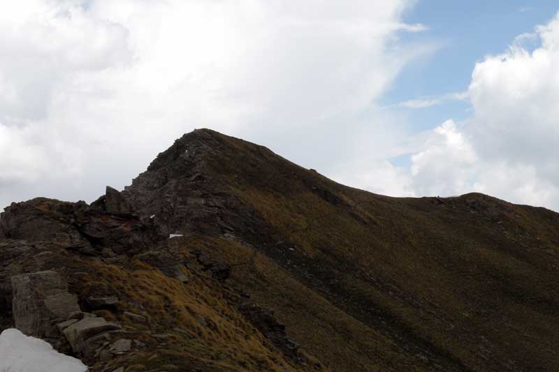
3h15'7.62km (1,103 m ascent) (7 m descent) From the hut, with little effort, climb the final section of the ridge to reach the summit of Mont Labiez (2,630 m).
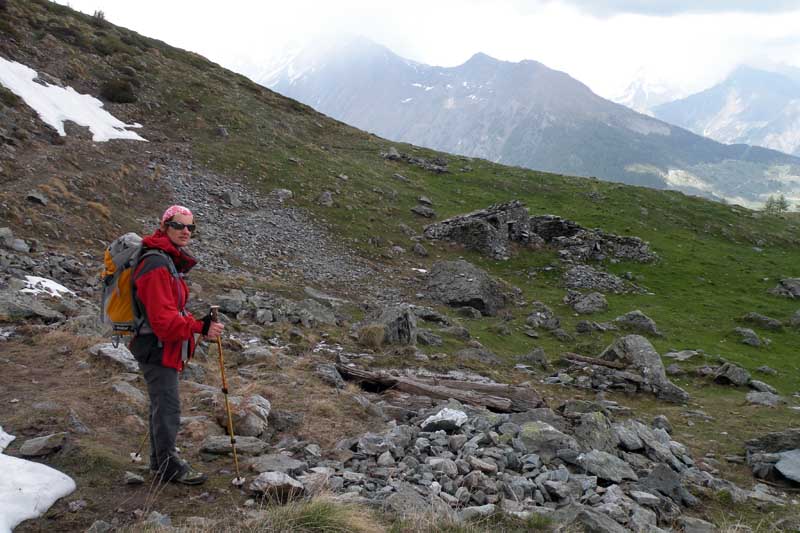
3h25'7.78km Descend towards the bivouac and, on the right – barely visible near a small rock – take a faint track that cuts across the sparse pasture and becomes more distinct a little further on. On the descent, cut across the western slope of Mont Labiez, make your way to the edge of the western ridge and follow it to the barely visible saddle of the Col d’Ars.
3h51'9.14km (1,124 m elevation gain) (282 m elevation loss) Turn right and follow a faint path leading to the high mountain pasture of Tsa d’Ars (2,364m), marked by distinctive arches.
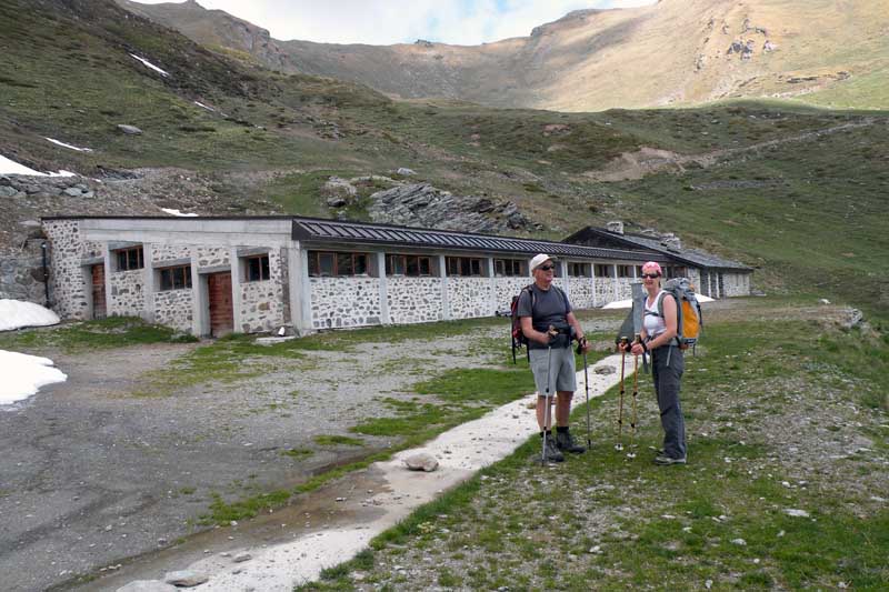
4h01'9.81km Take the track, which is grassy at first and then becomes a dirt track, leading quickly to the new Tsa d’Ars (2,260 m) and, from here, following the obvious dirt track, reach the Ars mountain pasture and the signposted junction encountered on the ascent.
4h33'11.96km
] Ignore the route taken on the ascent and continue straight along the dirt track, which skirts the Costa Tardiva and reaches the Collet mountain pasture (1,919m).
4h57'13.83km (1,130 m elevation gain) (732 m elevation loss)
Turn left onto the path and descend, initially along a path that becomes a track a little further down. Walk alongside the Meriau-dessus mountain pasture and continue the descent, taking a few bends, until you reach a junction marked by a signpost. Turn right and follow the path down which, after skirting the Mendey pastures, leads back to the car park where you started. (1,521m) 5h33'15.89km
Questa escursione raggiunge una cima che si trova sulla cresta di confine tra l’alto vallone d’Ars e quello di Flassin da cui il panorama è magnifico sulla cime circostanti, tra cui l’imponente versante settentrionale del Mont Fallére, e di quelle della vicina zona del Gran San Bernardo e della Valpelline. L’itinerario attraversa, nella sua prima parte, bei pascoli ed un bellissimo bosco all’uscita del quale si apre la bella e solitaria comba d’Ars delimitata dalla Cȏte Labiez a nord e dalla cresta Tardiva a sud che racchiudono i bei pascoli dominati dal Mont Fallére. Il sentiero non presenta difficoltà anche se bisogna prestare attenzione alla sua diramazione finale che si stacca dalla strada sopra Ars il cui inizio è poco riconoscibile.
Dalla curva si imbocca la strada di sinistra con l’indicazione per il rifugio Chaligne e si percorrono alcuni tornanti della poderale passando dalla baita di Mendey (1570 m) e, poco oltre, in corrispondenza di un muro di contenimento si svolta a destra su un’altra stradina seguendo gli evidenti bolli gialli sulle pietre e poi si prosegue diritto ignorando il sentiero che si stacca subito dopo sulla sinistra segnalato da una palina (1594 m). Si continua sulla panoramica strada sino ad alcune opere idriche alla cui sinistra si imbocca un sentiero che attraversa un bosco di conifere alzandosi dolcemente sino ad incrociare una larga mulattiera erbosa (1723 m) che si percorre a destra, tenendo la sinistra ad un vicino bivio, arrivando quasi subito alla baita di Meriau damon (1743 m). Sempre sulla mulattiera si continua nel bosco alla cui uscita si attraversa in leggera salita un bel pascolo alla cui sommità si trova il panoramico alpeggio di Collet (1929 m) che si raggiunge ed al quale si devia a destra su una poderale; questa compie un lungo traverso in piano passando a mezzacosta sulla fiancata della montagna in un bel bosco all’uscita del quale si giunge in un ampio vallone al centro del quale si trova l’alpeggio di Ars (1994 m) che si raggiunge. Si cammina ancora sulla strada che, con un paio di curve, arriva al pianoro superiore dove appena prima di attraversare il piccolo torrente si trova un ometto di pietre sulla destra da cui parte, poco visibile, un sentiero segnalato da sbiaditi bolli gialli (2038 m); imboccatolo ci si alza subito nel bosco per piegare poi sulla destra contornando un alto sperone roccioso e raggiungendo i ruderi dell’alpeggio di Crépon (2253 m) dal quale il sentiero, che a tratti si riduce ad una traccia, si alza ripido sulla fiancata di pietre e bassa vegetazione. Il tracciato, dopo aver deviato decisamente sulla destra, raggiunge la panoramica cresta della Cȏte Labiez dapprima percorrendola sul lato sud e poi, raggiuntone il filo, la si percorre raggiungendo una ben visibile croce lignea accanto alla quale si trova un bivacco della forestale (2615 m) e dal quale ci si alza ancora di poco sulla larga dorsale per raggiungere in breve la vetta. La naturale conclusione di questa salita è il raggiungimento del vicino Col d'Ars e quindi, tornati al sentiero, si svolta a destra proseguendo sul lato sud della vetta e con un traverso si taglia l’erboso pendio sommitale del Mont Labiez, per ritornare sul filo della cresta dalla parte opposta. Con qualche saliscendi un po’ esposto la si percorre ancora per alcune decine di metri e si raggiunge il colle (2547 m) dove si trova sulla destra il sentiero proveniente dal vallone di Flassin. In discesa, volendo accorciare un po’ il percorso, sia dal colle che dal traverso sotto il Mont Labiez si può scendere senza percorso obbligato i facili pendii erbosi puntando ad un sottostante alpeggio dal caratteristico tetto a volte (2374 m) dal quale scende una mulattiera che raggiunge in breve l’alpeggio di Tsa d’Ars (2267 m). Continuando ora sulla strada si scende comodamente la Comba d’Ars arrivando al bivio quota 2038 per poi proseguire sull’itinerario dell’andata.



Comments (0)
Sign in to leave a comment