Hérères Tower

Edited by:
Massimo Martini
Access
Leave the A5 motorway at the Pont-Saint-Martin exit, turn right and continue along the SS26 towards Turin. Pass the first roundabout (take the second exit), and after 650 metres you will reach a second roundabout; take the third exit towards the town centre along Via della Resistenza, continuing for 450 metres. Turn right onto the SR44 della Valle del Lys and follow this for 3.6 km before turning onto a small road on the left, following the signs for Tour d’Héréraz. Follow this small road downhill until you reach a large car park near the tower.
Introduction
The tower at Hérères is probably one of the oldest in the whole of the Aosta Valley: its origins – which some believe were inspired by Roman models – can be dated to around the year 1000.
Description
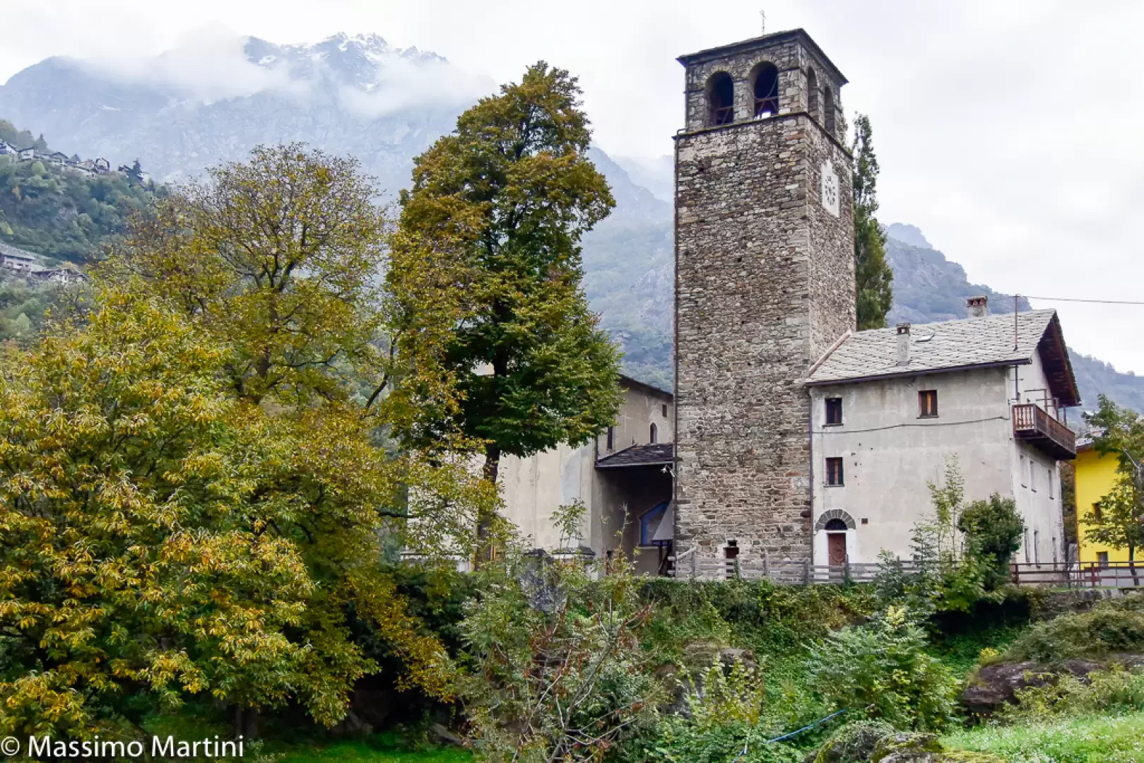
The family who owned the tower were the noble De Hèreris (d’Hérères), a branch of the powerful Vallaise family. The complex, which originally consisted of the tower itself and a residential wing, enclosed within a curtain wall, has been extensively altered over the centuries. The castle was finally ceded in 1878 by Alessandro Guarene di Roero, son of Rosalia di Vallaise, to the parish, which transformed it, as mentioned, into the present-day church according to a design by the surveyor Pacifique Dallou di Donnas: the curtain wall was then used to build the parish church and the keep became its bell tower, whilst the residential wing was converted into the parish house. The bell chamber above the tower dates from that time.
Bibliographical references
- André Zanotto, Castelli valdostani, Quart (AO), Musumeci [1980], 2002
Information
Elevation: 577m
Events: -
Website: -
Visitor information
The site is not open to visitors but can be viewed from the outside.