Window Head

Edited by:
Massimo Martini
Access
To reach the valley of the Great St Bernard Pass from Saint-Rhémy-en-Bosses, follow the regional road as far as Montagna Baus, the usual starting point for the Fenêtre de Ferret, Fenêtre d’en Haut and Mont Fourchon areas; the section beyond Saint-Rhémy remains closed to traffic in winter, usually from late autumn to early June. Alternatively, reach the Great St Bernard Pass, which is open seasonally, via bus route 211 and continue on foot along the valley.
Introduction
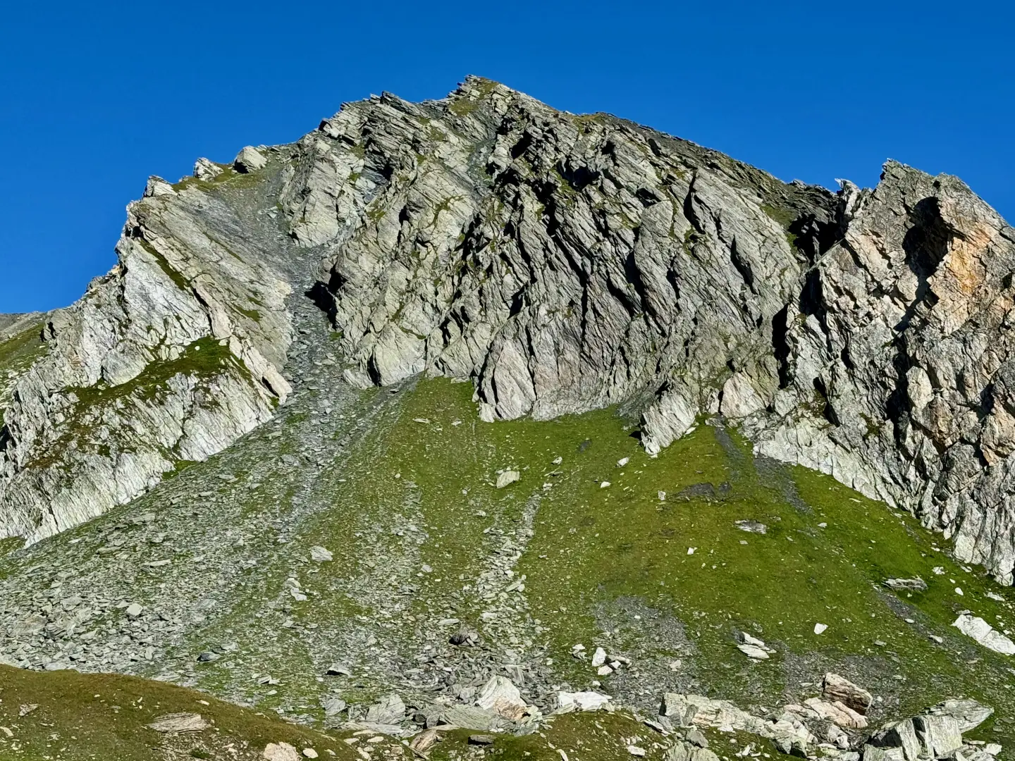
La Tête de Fenêtre is a 2,823-metre peak situated on the watershed between the Aosta Valley and the Canton of Valais, on the edge of the Grand Combin massif in the Pennine Alps. It rises above the valley that descends from the Great St Bernard Pass towards Saint-Rhémy-en-Bosses, between Mont Fourchon and the Fenêtre de Ferret and Fenêtre d’en Haut passes. It marks the boundary between the municipality of Saint-Rhémy-en-Bosses, in the Great St Bernard Valley, and the municipality of Orsières, on the Swiss side. Its profile, grassy at the base and rocky at the summit, overlooks a high-altitude amphitheatre frequented mainly by hikers heading for Mont Fourchon or the neighbouring passes, for whom the peak itself has so far remained a secondary destination.
Description
The peak forms part of the watershed range that stretches from the Great St Bernard Pass towards Mont Fourchon (2,902 m) and the Pain de Sucre (2,899 m), separating the Italian valley that descends to Saint-Rhémy-en-Bosses from the Swiss Val Ferret. A wide grassy basin with a small lake (2,582 m) lies at its foot, on the usual ascent route from Montagna Baus; nearby are the passes of the Fenêtre de Ferret (2,698 m) and the Fenêtre d’en Haut, the latter also known as the Col de Fonteinte (2,723 m). It should not be confused with the nearby Tête de Fonteinte, a distinct peak reached via a separate route along the ridge separating the Mont Fourchon-Pain de Sucre valley from the usual ascent valley.
Ascent routes
Standard Route – from Montagna Baus (2,360 m) - south face
Support facilities
There are no managed huts or bivouacs available for this ascent. The base is the car park and mountain pasture at Montagna Baus (Baou), accessible by car only during the opening season of the Great St Bernard Pass.