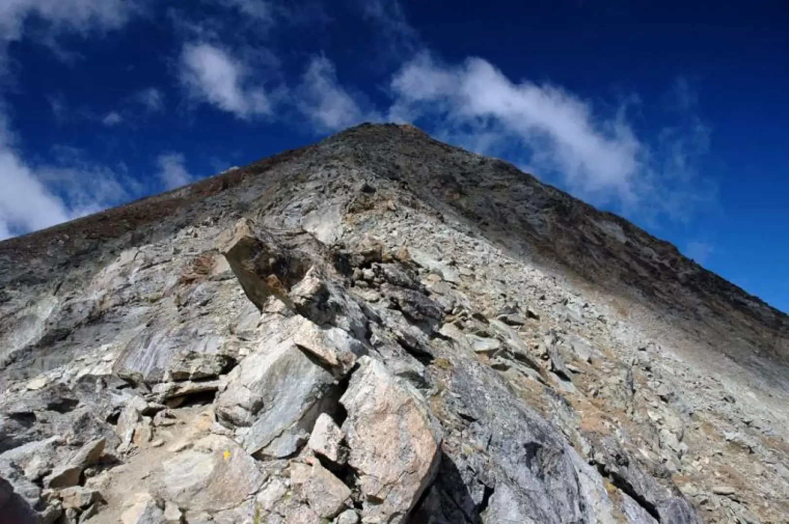
Mont Emilius

Access
The ascent routes to Mont Emilius are varied, suitable for both experienced hikers and mountaineers. The Via Normale, classified T4, starts at the Rifugio Arbolle (2,450 m) and follows a steep but well-marked path with some exposed passages on rock. A more technical alternative is the South Ridge Route, of difficulty PD+, which requires mountaineering equipment. For those looking for a more leisurely approach, the route from Colle della Croce (T3) offers a scenic hike with moderate altitude difference.
- Via Normale (T4)
- South Ridge (PD+)
- North Face (AD, mixed rock/ice)
Introduction
Mont Emilius is one of the most representative peaks of the Aosta Valley, an imposing massif that dominates the Aosta plain and the municipalities of Charvensod, Pollein and Brissogne. At 3,559 metres, this mountain offers an exceptional panorama of the Graian and Pennine Alps, attracting hikers and mountaineers with its accessible yet technically interesting routes. Its pyramid shape and strategic position make it a visual landmark for the entire valley, while its mountaineering history and link with the local communities make it a symbol of mountain identity.
Description
Mont Emilius has a mountaineering history dating back to the second half of the 19th century, when the first explorations began to map the side valleys of the Aosta Valley. The first documented ascent dates back to 1823, carried out by Canon Georges Carrel, an emblematic figure of Aosta Valley mountaineering. The climb, although not technically complex, paved the way for subsequent explorations, including the first winter ascent in 1886 by a group led by Joseph Gabrilel. During the 20th century, new routes were traced on its slopes, including the direct route on the north face, which features rock and ice climbing passages. A curiosity linked to this mountain is its name: originally called Pic de Tersiva, it was renamed in honour of the bishop Émile Chanoux, but a transcription error turned it into 'Emilius'.
Geographically, Mont Emilius rises between Valpelline and Valtournenche, surrounded by wild valleys and coniferous forests. Its structure is mainly composed of metamorphic rocks, with grassy slopes in the lower part and rocky ridges towards the summit. Despite the absence of permanent glaciers, snow accumulations occur in winter, making some routes more challenging. The climate is typically alpine, with short summers and cold winters, making the months between June and September the ideal time for ascents.
Culturally, Mont Emilius is deeply rooted in local traditions. The original toponym, Tersiva, is said to derive from the Valdostan patois, possibly linked to an ancient Celtic term. Every year, during the patronal festivities of the surrounding municipalities, the mountain is the protagonist of popular tales and celebrations that extol its majesty. Moreover, its silhouette is often portrayed in paintings and photographs, symbolising an unspoilt Alpine landscape.
Information
Height: 3.559m
Alternative name: -
Mountain group:Emilius Group
First ascent:not known
First ascenders: -
First winter: 15/02/1934
First ascenders: Lino Binel and Amedeo Berthod
Vice book:present
Supports
- Arbolle Refuge (2.450m)
- Bivacco Zullo (2,897m)
Collections
- 3000 m of the Aosta Valley - map