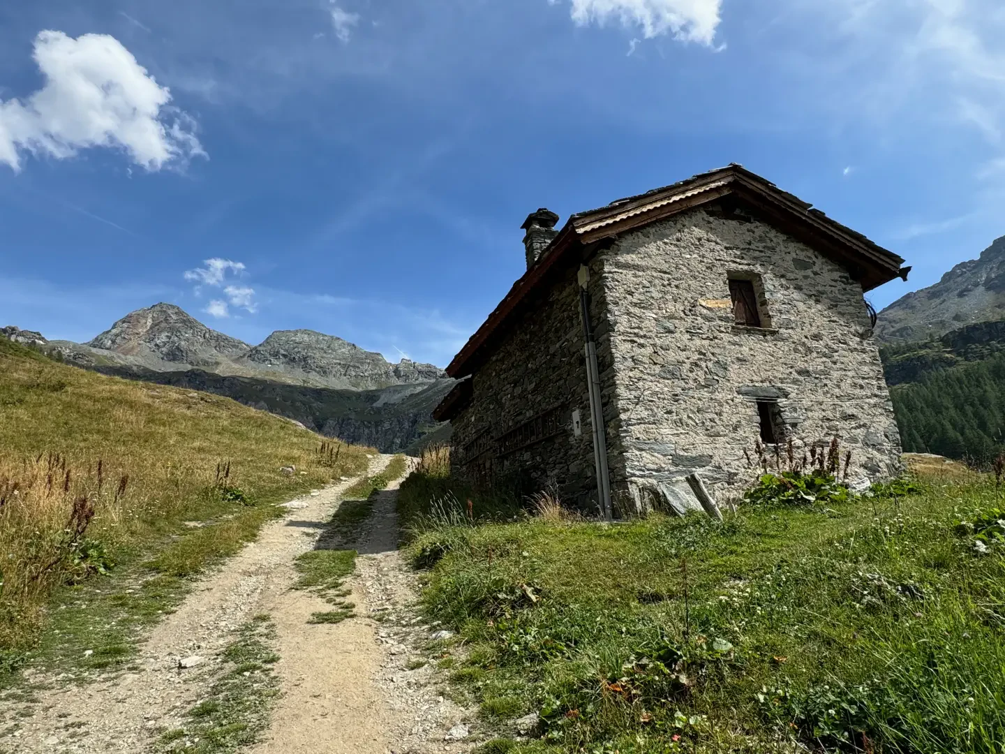
Château

Access
To reach Cheneil, start from the municipality of Valtournenche. After passing through the village, turn right and climb up the municipal road to Cheneil. The route begins at the La Barma car park, which serves as a starting point for hikes in the area. Just beyond, a tourist lift saves 50 metres of ascent
.Introduction
The Château alpine pasture is located in the Cheneil basin in Valtournenche, in the Aosta Valley. The basin is situated at an altitude of between 2000 and 2500 metres and is characterised by a series of pastures and villages, including Château, Ars and Gorret, which are located in the lower part of the basin.
Description
Until after World War II, dairy cattle breeding for Fontina production was the main activity carried out by the inhabitants of Cheneil. Agricultural exploitation of the land only took place during the summer months, with activities starting in June near the agglomerations of Château, Ars and Gorret. In July and August, shepherds and cattle moved higher up, to the alpine pastures of Le Goille, Tsansec and Aran, whose pastures were managed as a consortium. In September, the herds would descend to Cheneil, where they would remain until the first frosts arrived.
Today, with the change in economic and social conditions, the meadows and pastures are no longer used directly by the owners, but are being managed by third parties. Village farm buildings are gradually changing from rural to residential use.