Col Vofrède
Introduction
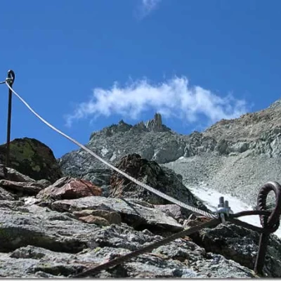
The Vofrède ferrata is one of the easiest and perhaps the least known of those in the Aosta Valley. Yet the breathtaking views it offers during the ascent and, if desired, the descent into the enchanting Cignana valley, dotted with numerous lakes, guarantee an unforgettable climb. The ideal itinerary, if in possession of a good workout, includes the ascent of the Vofrède ferrata, the ascent to Mont Rous, the descent to the Perucca Vuillermoz refuge and the return to the car via the Finestra di Cignana.
.Description
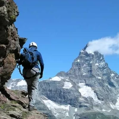
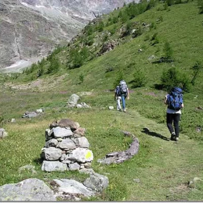
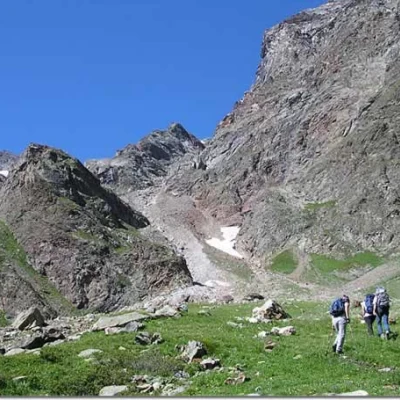
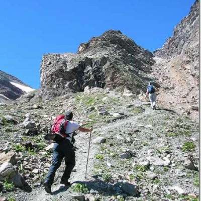
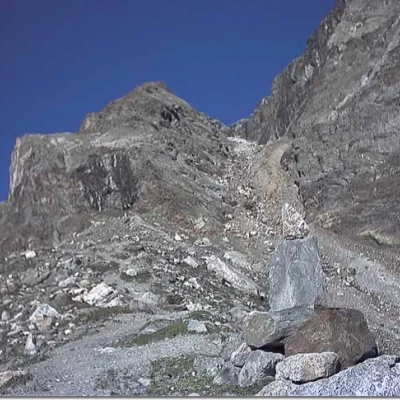
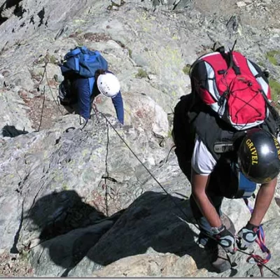
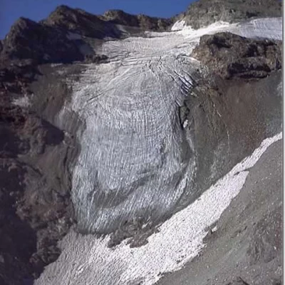
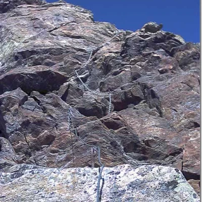
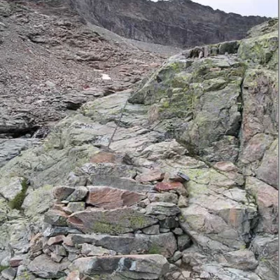
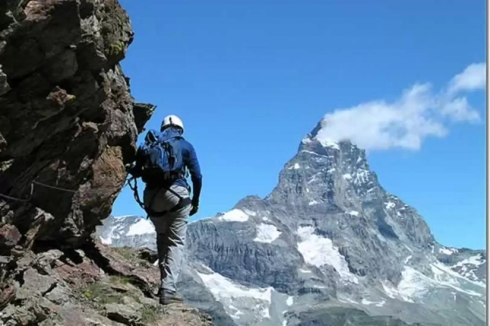
As soon as you cross the bridge, turn right and follow the dirt road that leads to the recreational fishery. Immediately after the entrance, take the path on the left that climbs the wide valley furrowed by the Créton stream. At the foot of the rocky walls, the trail bends to the left and, after crossing the stream that descends from the Château Des Dames, continues towards the Vofrède spur. After reaching the crossroads from which the track towards the glacier branches off to the left, continue straight on along the edge of the moraine, at the end of which the path makes a few more small bends among the stones until reaching the start of the ferrata. We set off along some ten exposed metres but with a magnificent view of the Cervino, then enter the valley and, keeping close to the ridge, continue along small rocks interspersed with tufts of grass. The gradient decreases a lot, shortly after the ferrata stops, you cross a little meadow carpeted with dwarf vegetation and then resume the ascent with a short passage a couple of metres high where you have to put your hands down. Several other interruptions follow, alternating with sections of the via ferrata, which are always easy and often on very steep rock. At around 2800 you come to a small terrace with a view of the Vofrède glacier, then the ferrata resumes with a vertical but very easy section and continues on broken rock with a modest gradient. After the second panoramic terrace, the ferrata begins again with a very short slab equipped with two steps, then it crosses an area of reddish rocks, rich in iron, where some chains have been fixed and a deep crack in the rock is climbed over. After a few tens of metres of difference in height, the ferrata ends and we arrive at the plateau below the Whymper hut.
Descent to the Perucca Vuillermoz hut
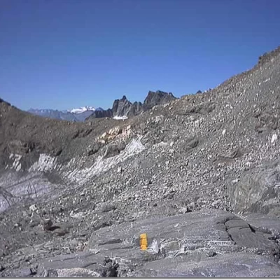
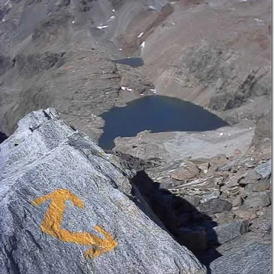
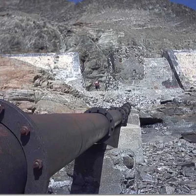
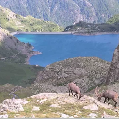
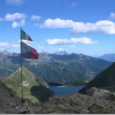
From the plateau, the Vofrède pass is clearly visible to the south, behind which the Cian (Tzan) peak rises. Head towards it across the scree, following the yellow markings and some cairns. From the pass, descend towards the Gran Lago, first following traces of a path and then directly on the scree, which gradually becomes thicker and thicker, until you reach the east bank of the reservoir. Walk along the retaining wall of the basin and then head towards a small ruin with a broken roof that can be seen on the left. A small path starts from the little abandoned house, which acts as a balcony over the Cignana dam, and after passing at the foot of a rocky panettone it joins the wide path that soon leads to the terrace of the refuge.
Variant: ascent to Mont Rous 3242 m
- outward 0h20'
- return 0h15'
From the plateau, the Col de Vofrède is clearly visible to the south, behind which the Cian (Tzan) peak rises. One heads towards it across the scree, following the yellow markers and some cairns. As soon as the pass is reached, climb up the crest of Mont Rous following a little path that soon gets lost in the scree. After having passed some broken rocks without any difficulty, you find the path again, which soon leads to the summit: a wide plateau strewn with small stones overlooking the Valtournenche.
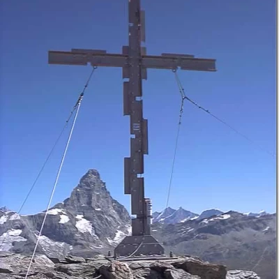
From the cross, you have a good view of the entire Breuil basin, the Goillet dam, and behind the Rollin hump the peaks of Monte Rosa. Towards the south, a large section of the Cignana dam can be seen, and behind it Punta Cian (Tzan) with the Roisetta glacier and the lake of the same name stands out against the sky. Towards the west, you can make out the Perucca Vuillermoz refuge, the Dragone lake and a little further down, the Gran Lago. Further down, the lake of Balanselmo sparkles with the small barrel-shaped construction of the Bivacco Manenti on the right.
In 1981, the Lissone Oratory assembled the unique Mont Rous cross. It consists of some twenty steel pieces, with a 'C' section, 40 centimetres long, which were bolted together to form a cross approximately three metres high.
