Tour of the Bessanese, from Pian della Mussa
Description
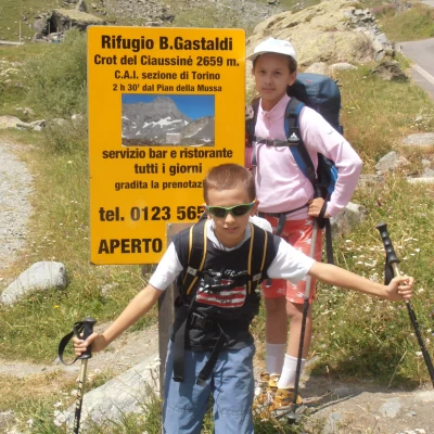
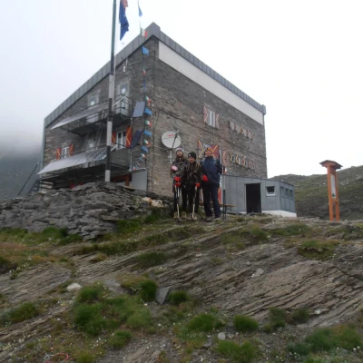
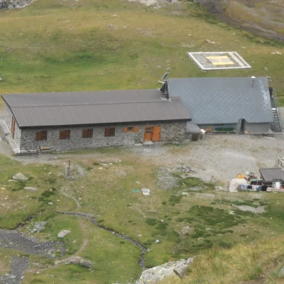
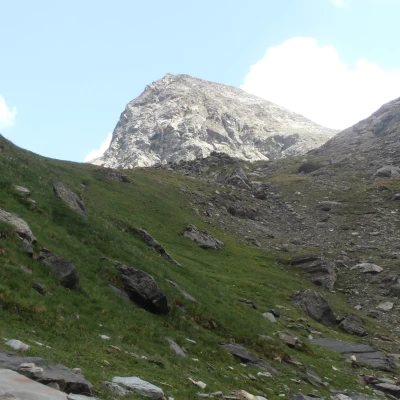
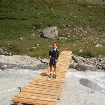
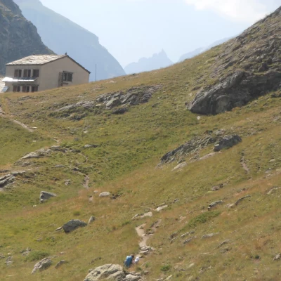
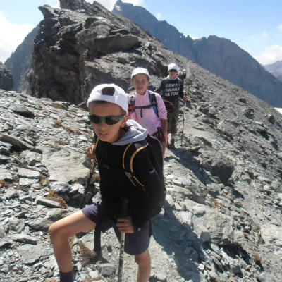
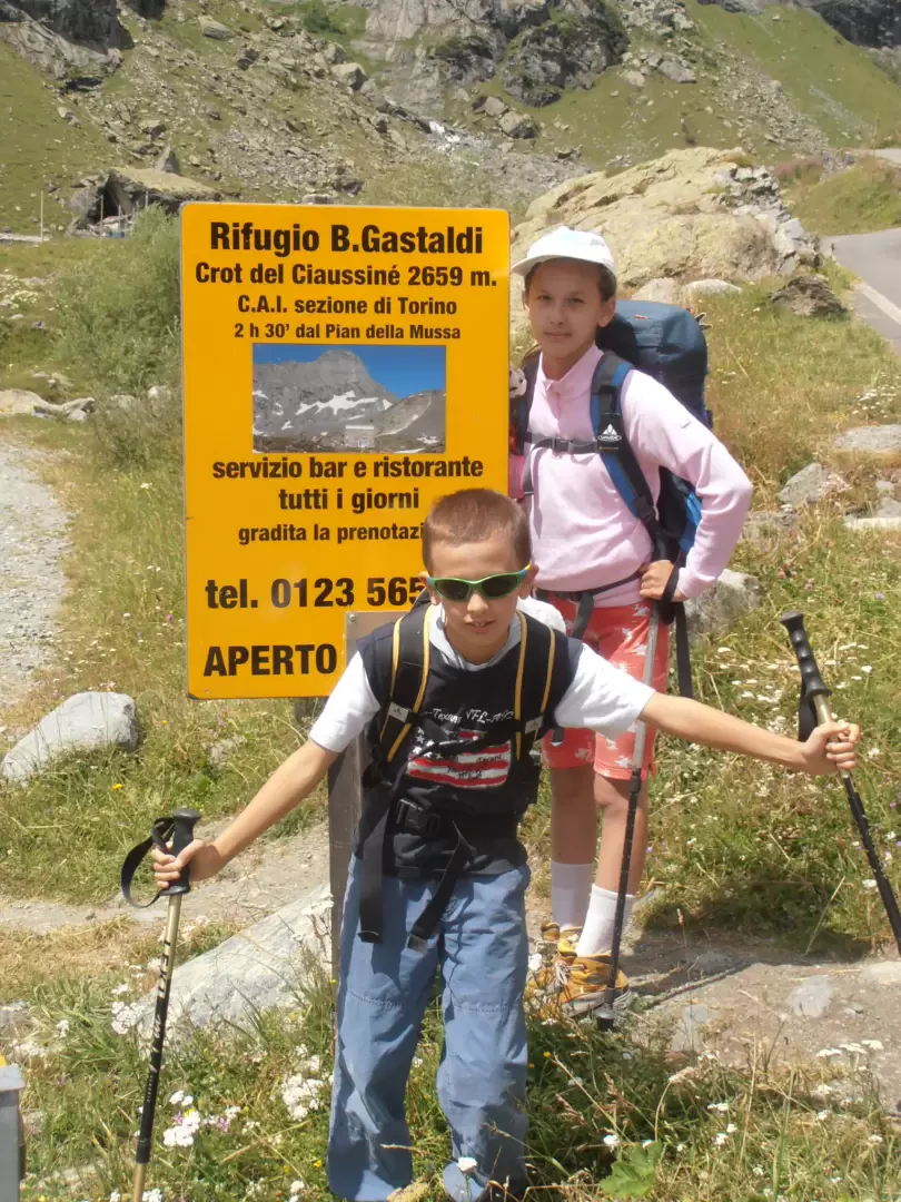
1st day. Having parked the car at Pian della Mussa, take the dirt road to the left and, having crossed the Stura on a wooden bridge, skirt Alpe Venoni, a characteristic bergeria protected by a curious rock. The path (EPT222) continues along the lower part of the Canale delle Capre and soon turns left and, with many hairpin bends, rapidly gains altitude. At about 2,300 metres, you reach the Pian dei Morti, a wide grassy saddle where your gaze widens over the entire Pian della Mussa and the rest of the route. Leave path EPT223 on the right that leads to Pian Gias and, at first diagonally then with wide hairpin bends, reach the base of a rocky wall where a climbing area is equipped. The path avoids it by moving to the right, crosses some easy rocky steps equipped with rope handrails, and enters a very wide gully that without difficulty leads to a col from which it is already possible to see the hut. Follow the last flat stretch to reach the hut in a few minutes in a panoramic position overlooking the wide Crot del Ciaussinè basin and the surrounding peaks (2.00-2.30 hours).
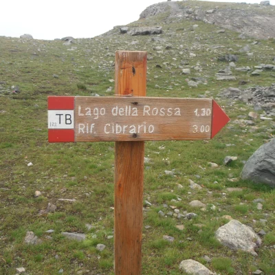
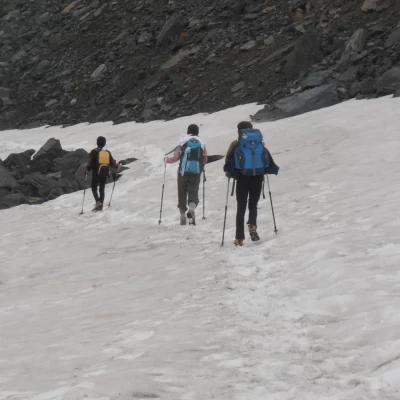
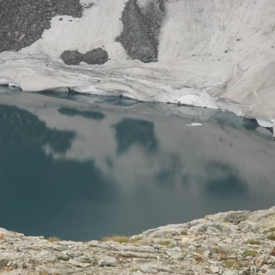
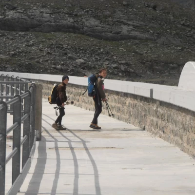
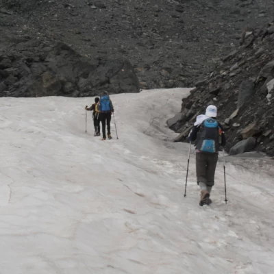
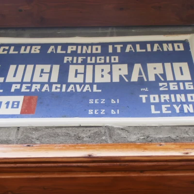
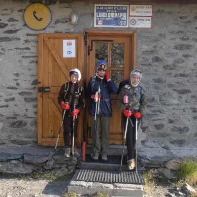
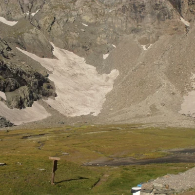
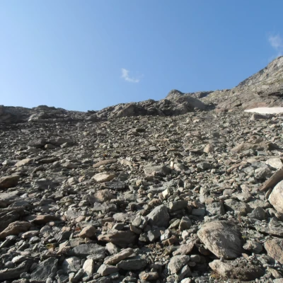
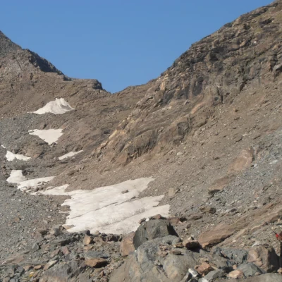
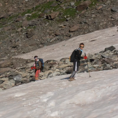
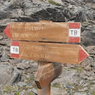
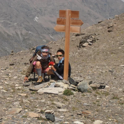
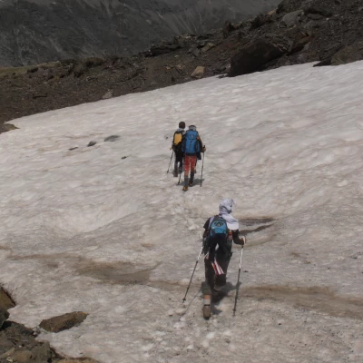
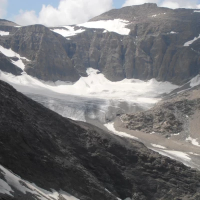
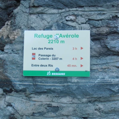
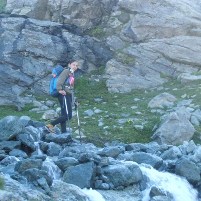
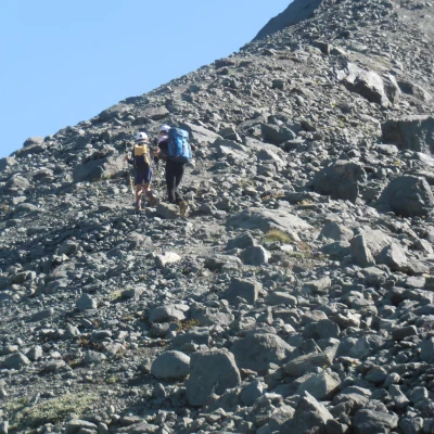
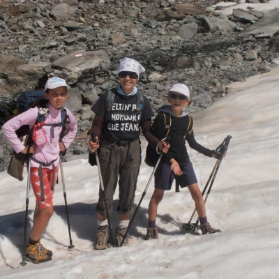
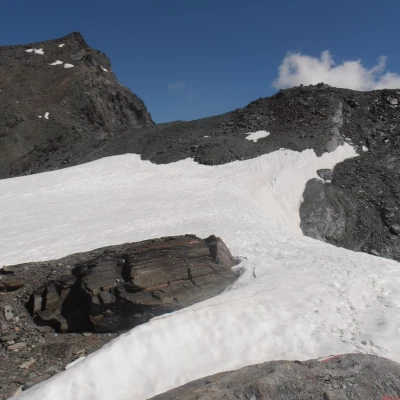
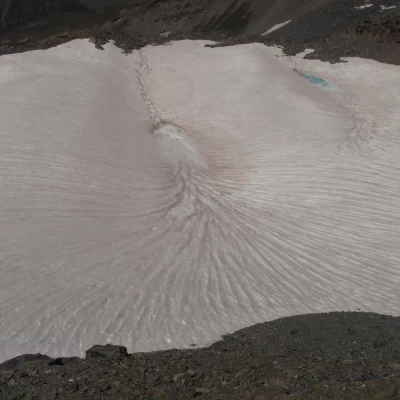
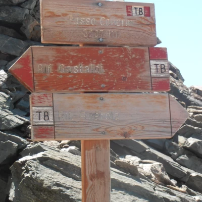
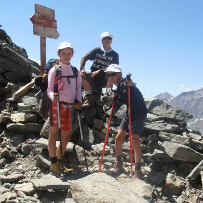
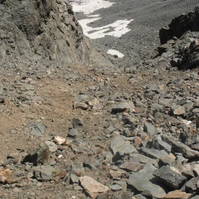
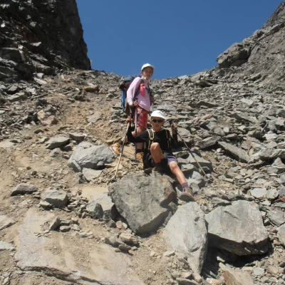
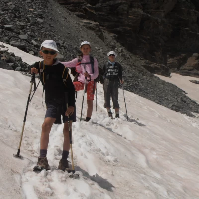
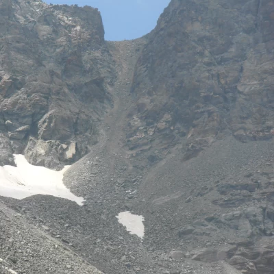
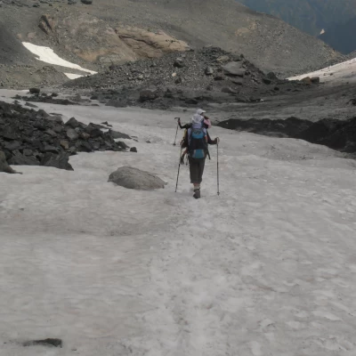
Tour of the Bessanese 1 Stage : R. Gastaldi, Lago della Rossa, Colle Altare, R. Cibrario. Height difference: 550 m. ascent, 600 m. descent Duration: 3.5/4 hours Distance: 7.5 km Follow the path that starts from the hut and descends to the S towards the exit of the Crot del Ciaussine basin, in the direction of a small waterfall formed by the stream that descends from the basin below the Cresta Del Fort. Having crossed the stream flowing in the plain, the path climbs up the grassy and scree slope between the waterfall and the walls of Rocca Affinau. After a short ascent, you come to the junction for the Col d'Arnas; the Tour trail ignores this indication and follows the tracks to the left that go around Rocca Affinau, keeping to the valley to the left of it (direction S and then SO). With a few steep bends, with the background of the Croce Rossa peak, the trail leads to a hollow where some small meltwater lakes are encountered; having reached the steep detrital slopes that close the hollow to the south, a short, well-marked track climbs them with a diagonal to the left, leading directly to the Collarin d'Arnas (2850); an excellent panoramic point enhanced by the nearby Collarin lake. The path continues obliquely in a S direction towards Lago della Rossa; the descent is on mounded rocks until reaching the dam (2690 m). Just before the dam, on the left of the path is the comfortable San Camillo bivouac, which has twenty beds. Cross the dam, follow the dirt road around the lake and then turn left. Cross a stream over some shale stones and take the path on the left-hand side of the lake and proceed towards the bottom of the glacial basin. Climb a ramp that begins at the height of a small waterfall and leads to the Altare pass (2962 m) with an easy path. From the pass, follow in a SE direction the track that leads to an evident and wide gully in which, keeping to the right and alternating between false plains and steep slopes, you descend to a plateau dotted with pools of water and bordered in a westerly direction by Lake Peraciaval. The well-marked trail continues in a S direction, crosses the plateau and leads over the crag dominating the north side of the Piano del Sabiunin, from where a few steep switchbacks lead to the Cibrario hut. 2nd stage: Cibrario mountain hut, Sulè pass, Autaret pass, Vallone della Lombarda, Avérole mountain hut Height difference: 900 m ascent, 1300 m descent descent Duration : 6 -7 hours Distance : 15 km From the hut, cross the Pian dei Sabiunin in a westerly direction to reach the moraine where the steep track begins, heading south up the 300 m difference in altitude that leads to the glacial basin of what was once the Bertà glacier (2,900 m), now also reduced to a moraine furrowed by rare snowfields. A very slightly uphill path leads along the plain, keeping close to the rocky crags that descend from Testa Sula; a few turns lead directly to Colle Sulè (3073 m.) from which, looking to the W, the triangular shape of Point Costan is clearly visible, with the Colle d'Autaret on its right, and the small valley, where the effluent of the eastern Autaret lakes flows, where the intermediate part of the route takes place. From the pass, the trail descends on a steep scree slope for about 100 m.; the slope then descends and continues on scree until an altitude of about 2,800 m. where, near a clearly visible boulder, you leave the trail that descends to Colle Spiol and ascend (marker post) for about 30 m. towards a small pass beyond which there is a small meltwater lake. Go round the puddle on the left side on comfortable crags and continue in a westerly direction over grassy stretches, then turn S along traces of a path until you come to an obvious paved military mule track. Go up the mule track to the right in a W direction to a ridge from which a small lake is visible, near which you can see the bare building of the former Moise hut, an old border guard barracks. From the back of the building, continue along an obvious mule track towards the eastern lakes, which are left at a distance on the right. At the outlet of the western lake of Autaret, the path from Malciaussia crosses. Continue on scree until reaching the Autaret pass (3072 m). From the pass, descend the steep moraine face in a diagonal direction to the N and continue with a constant slope halfway up until you cross the Torrent de la Lombard, which you cross thanks to a convenient passage on concrete pipes. (2530 m ). Continue on the orographic left bank to an altitude of 2,450 m where, just before the Cabane des Bergers, the trail turns right, leaving the main path to descend towards a footbridge that leads back to the right bank of the stream. After crossing the bridge, the trail climbs slightly to Pas de la Mule, from where it descends to Plan de Revallon in the direction of the already visible Refuge d'Averole, which is reached in a few minutes by climbing the slope until it crosses the Col d'Arnès trail, the last few metres of which are followed to the left. 3rd stage: Avérole refuge, Collerin pass, Pian Gias glacier, Gastaldi refuge. Height difference: 1,100m ascent and 650m descent Duration: 5/6 hours Distance: 9km The trail starts behind the Avérole refuge, where there are the ruins of the old building, and climbs up the grassy slope in a NE direction, passing a steep bend and then a crag, beyond which it approaches the orographic right of the Ruisseau du Veillet stream, which it follows until an altitude of 2,600m, where it bends to the right at a clearly visible frontal moraine, crossing it. The trail continues in an E-NE direction and climbs up the moraine until it reaches a small crag of rocky steps (2,850 m) where, heading N, it crosses the right bank of the stream; this crossing may require some attention if the stream swells, e.g. in the event of recent rain or thaw. The trail continues in a NE direction and climbs up the ridge on very steep morainic terrain until it reaches the basin dominated above by the remains of the Des Grandes Pareis glacier; here the trail disappears into the Clapier Blanc (3030 m).) Looking in the N direction, a saddle can be seen behind which the summit of the Albaron emerges; to reach it, the route first continues slightly uphill in the N-NE direction until an altitude of 3100m, then it descends slightly into a hollow in the direction of some schist crags, and then makes an arc in the N-NW direction that leads towards the saddle. In this section, the best route must be chosen according to the snow conditions, relying in any case on the signposts painted on the rocks; the signposts, in order to always be visible, are sometimes placed very high up on the boulders. When the crags are reached, the track becomes visible again and ascends the slope to the left of the obvious snow triangle, which is crossed in the plain at its summit. The markers lead to the schist ridge that skirts the Audras peak and follow it for about 150m, then descend slightly, still on the French side, at an altitude of 3200m to reach the Collerin pass, well marked by wooden marker posts. Here, (photo 8) the descent on the Italian side begins, which takes place on a steep slope of unstable debris. The descent, which in the absence of snow does not present any particular problems, in the case of frozen or mixed snow can instead prove to be demanding (a picozza and crampons may be useful). The steep gully descends for about 200 m and leads to the Pian Gias glacier (3000 m). With the necessary attention, it is possible to advance without crampons on this glacier, which is not too steep and mostly covered with debris, always paying the utmost attention to the markings on the boulders, especially in case of fog. The descent trail continues down the middle of the slope, keeping to the orographic right of the stream that emerges from the glacier until it meets the boulders below the Rocce delle Russe crest (2,800 m); Here it crosses the torrent and flanks it, following the moraine downhill until it meets the traces of the path to the Ciamarella, where it crosses the torrent again, returning to the right bank (2660 m) and resuming its path characteristics. Having reached the marker post, the route abandons the path that descends to Pian della Mussa and follows the track on the right that, with an up and down hillside route, leads to the Gastaldi hut in 30 minutes. A beautiful tour, between Italy and France, served by three excellent refuges.
.