Tsa de Chaligne, from Petit Buthier


Edited by:
Giancarlo Beretta
Updated at: 01/12/2025
Access
Si percorre la A-5 Torino-Aosta e si esce alla barriera di Aosta est imboccando la direzione per il tunnel del Gran San Bernardo; oltrepassate due gallerie si prosegue per qualche chilometro e, superato l'abitato di Gignod, si trova una deviazione a sinistra con l'indicazione per il rifugio Chaligne. Si risale la stradina giungendo alla frazione di Buthier dove si può lasciare l'auto in un qualche piccolo parcheggio lungo la strada che lo attraversa.
Introduction
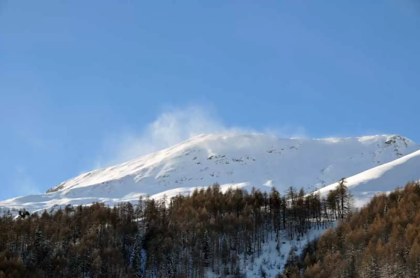
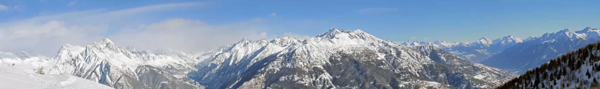
This hike reaches a large alpine pasture below the slopes of the Punta Chaligne located above a wide and scenic plateau; the destination is suitable for everyone and can be reached without difficulty by crossing open slopes facing east and from there one can enjoy a panorama that to the east and south sweeps from Mont Avril to Emilius with also a beautiful view of the plateau of the central valley while to the south west and north it remains closed by the buttresses of the Punta Chaligne.
Description
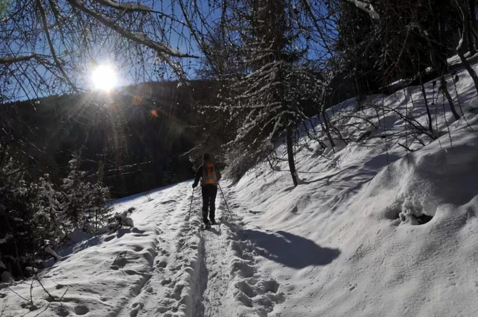
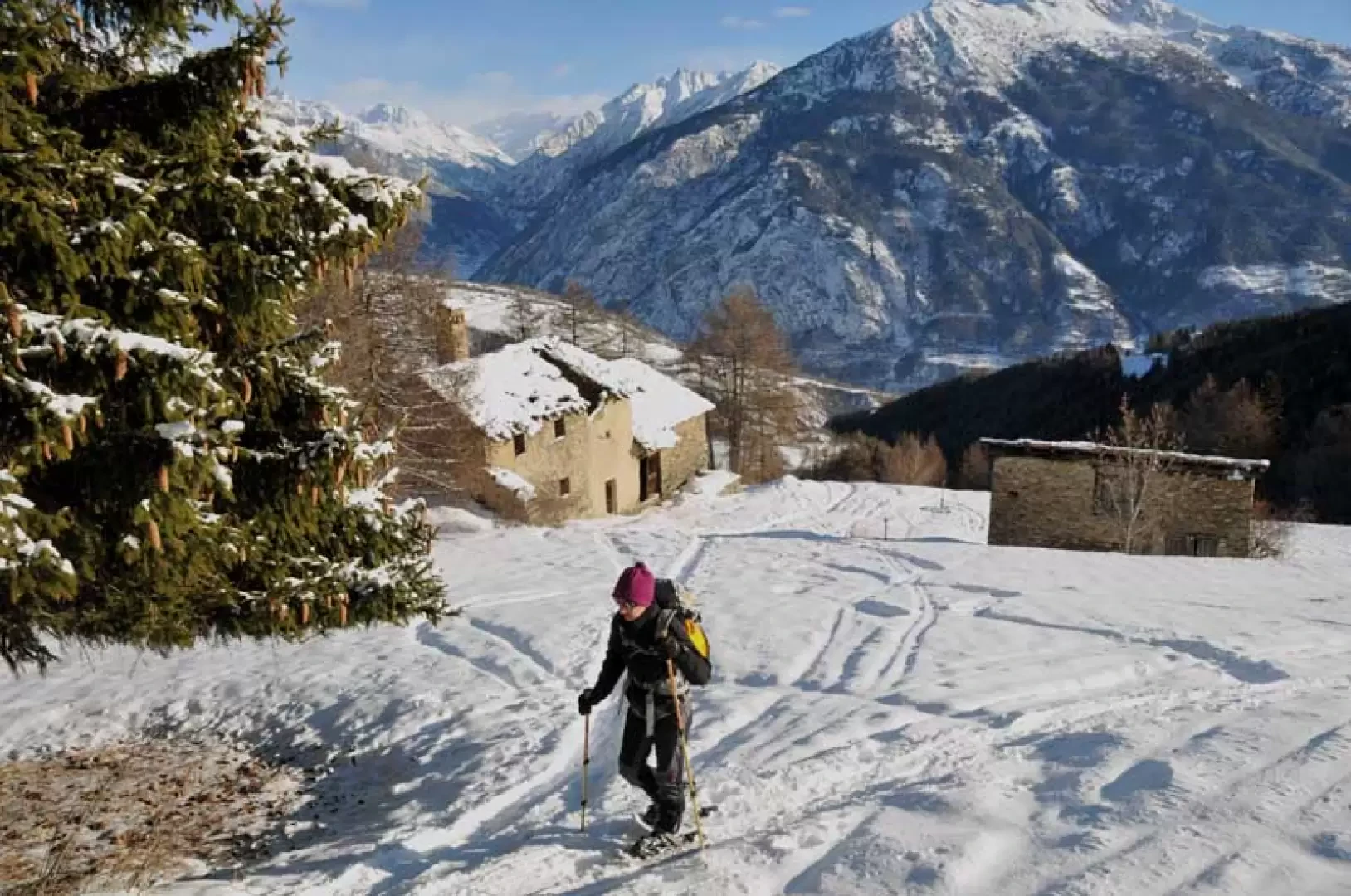
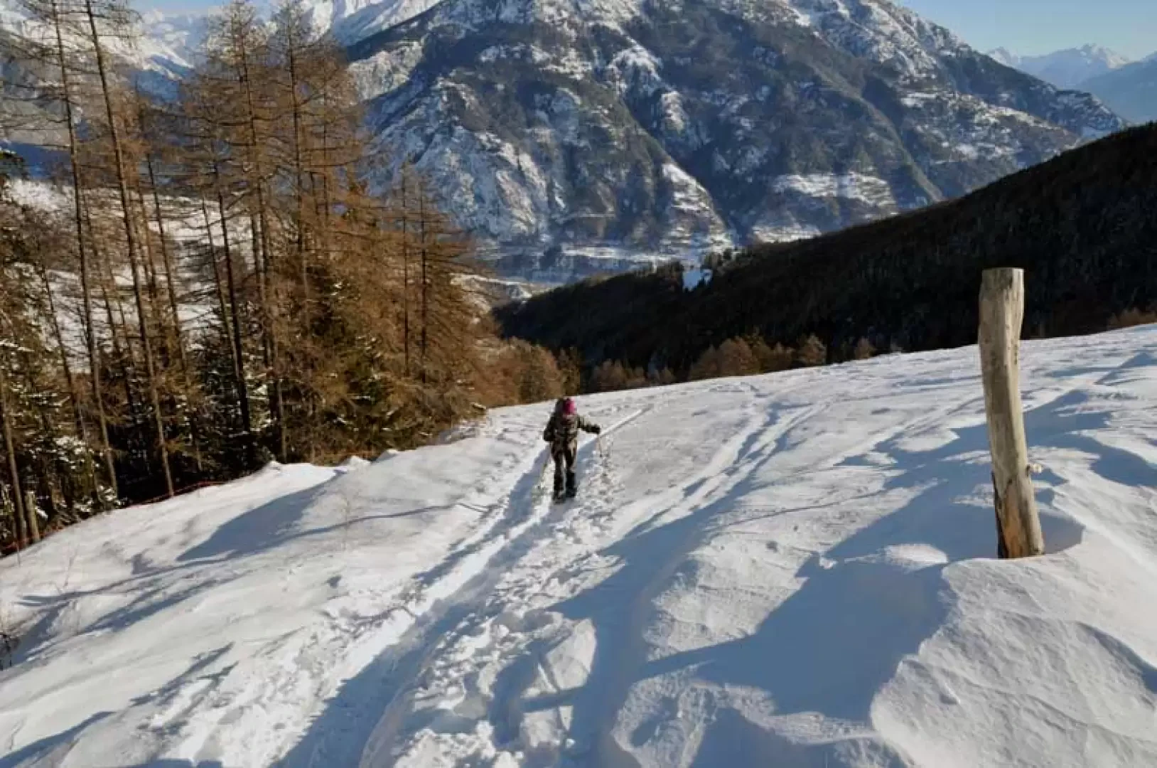
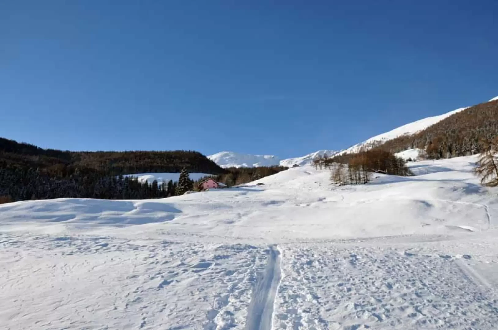
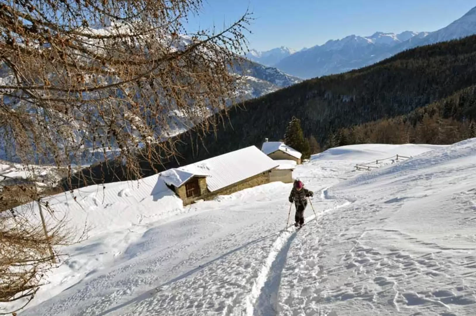
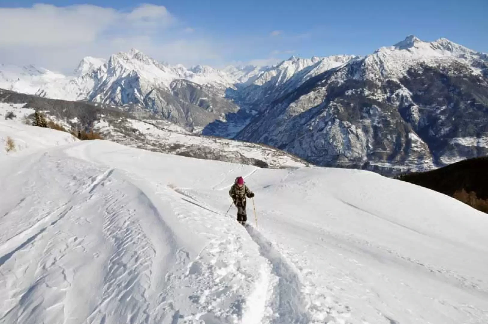
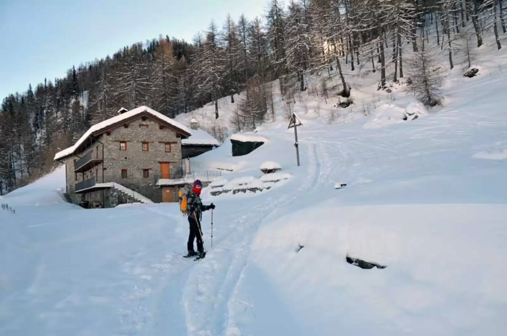
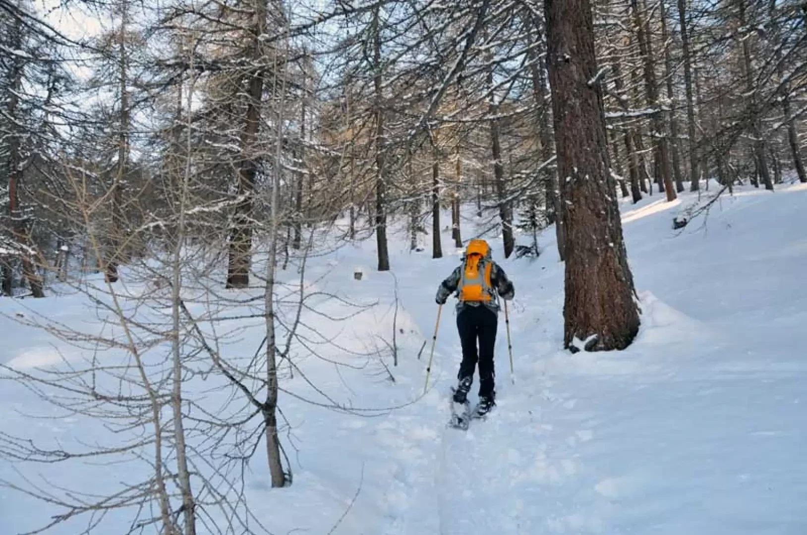
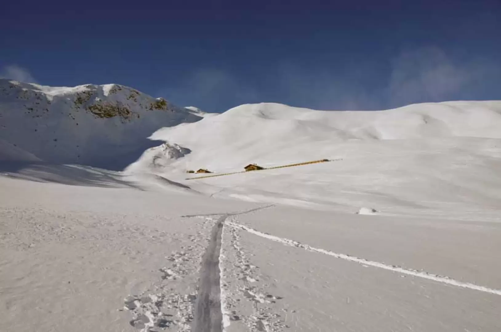
From the car park, cross the road and start to climb up the slope towards the west in the direction of the small forest located just above until you cross the track of a mule track to which you turn left and, slightly uphill, reach more open spaces from where you reach the clearly visible alpine pasture of Pléno desot (1511 m). Once past the huts, we remain at the edge of the trees and ascend, without any obligatory path, the slopes above, where the gradient increases a little, cutting across the track of a farmstead again and heading for the huts located above it, clearly recognisable by the pink colour of one of them. When you reach the Arolla desot huts (1,732 m), go past them on a slightly steeper slope, still heading westwards, where you can see the Chaligne peak, to the farm track from which the Chaligne hut is clearly visible; now almost flat, traverse along the side of the mountain to the Chaligne mountain pasture and the hut (1948 m), which is located just above it. Continue uphill behind the hut towards the left to enter the adjoining forest and climb up it zigzagging between the sparse larch trees and, when the slope decreases, keep to the right arriving at the wide upper slopes from where you can now see the destination of the excursion; in fact, deviating more and more to the right you climb up the gentle undulations and easily arrive at the large and panoramic alpine pasture of Tsa de Chaligne (2242 m).
Photo gallery
Comments (0)
Sign in to leave a comment