Mount Todano


Edited by:
Ermanno Panara
Updated at: 07/06/2025
Access
A26 direzione Sempione uscita Verbania, seguire per SP58 per Miazzina, SP131 Via Alpe Pala, seguire per il Memoriale degli Alpini (monumento ai caduti), dove si parcheggia (anche più sotto, se la strada è innevata).
Introduction
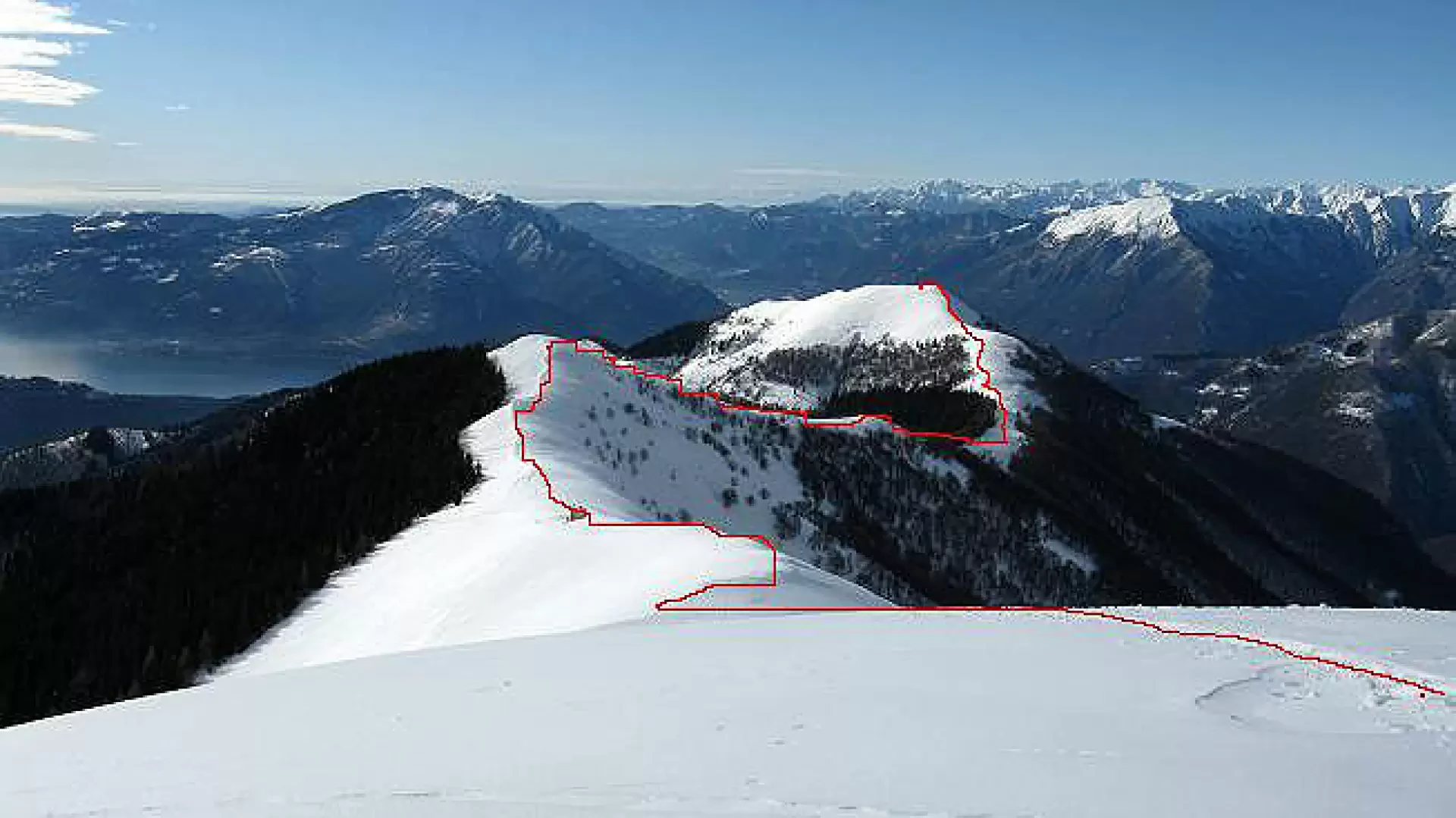
From Cappella Fina through a birch forest with views of Lake Maggiore, the route climbs towards Pian Cavallone and Monte Todano, and then closes the loop by returning to Cappella Fina. .
Description
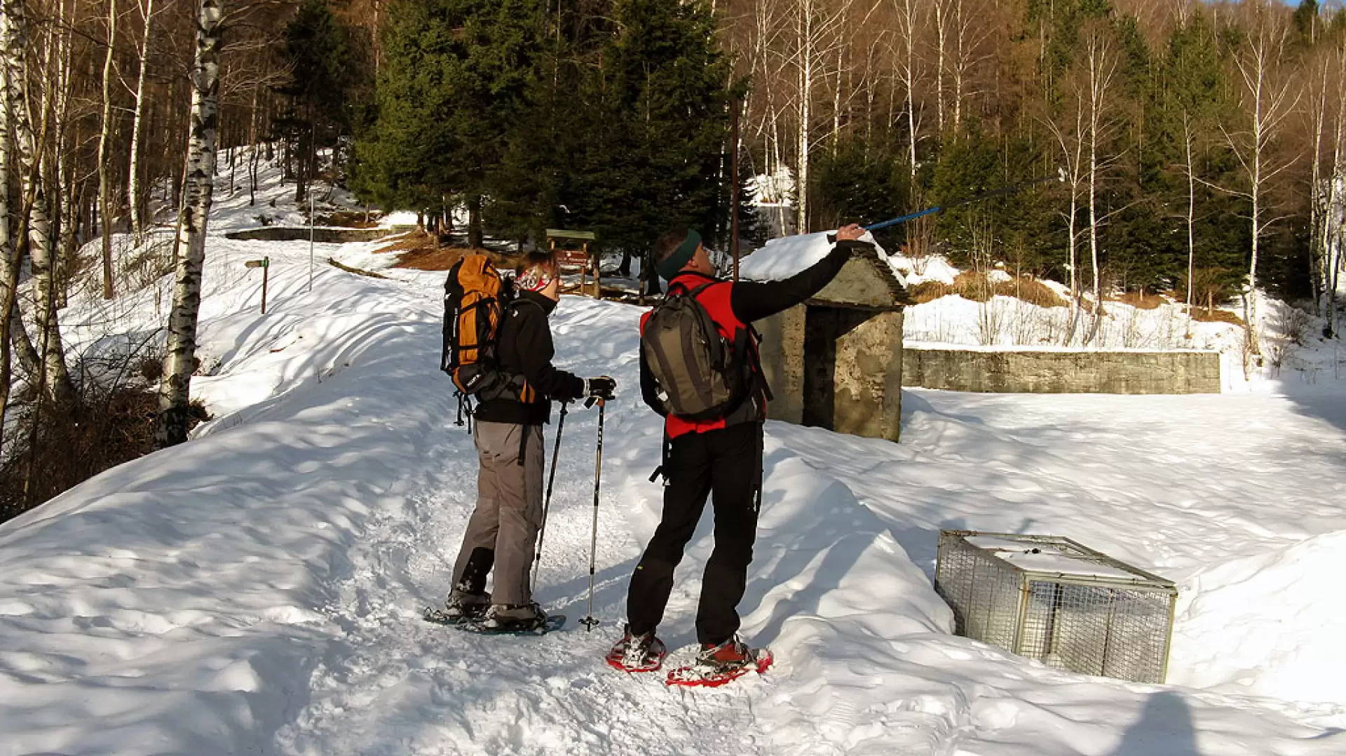
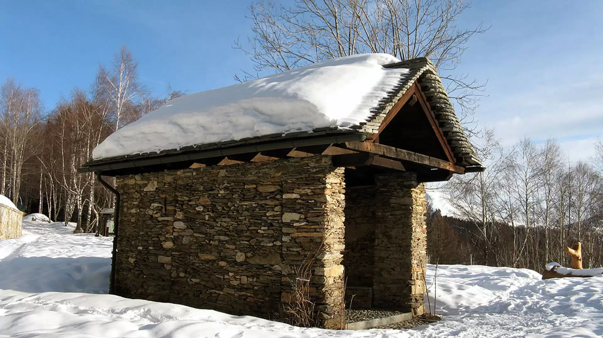
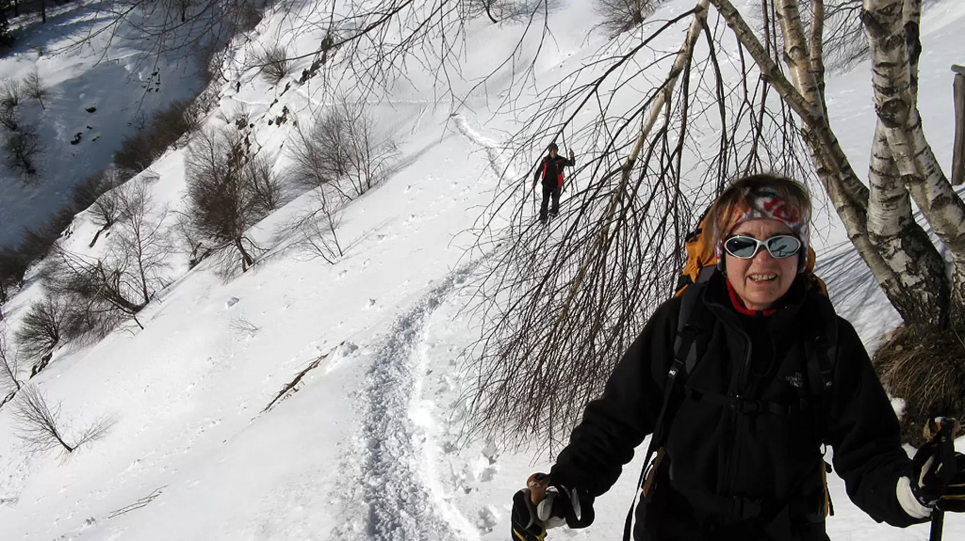
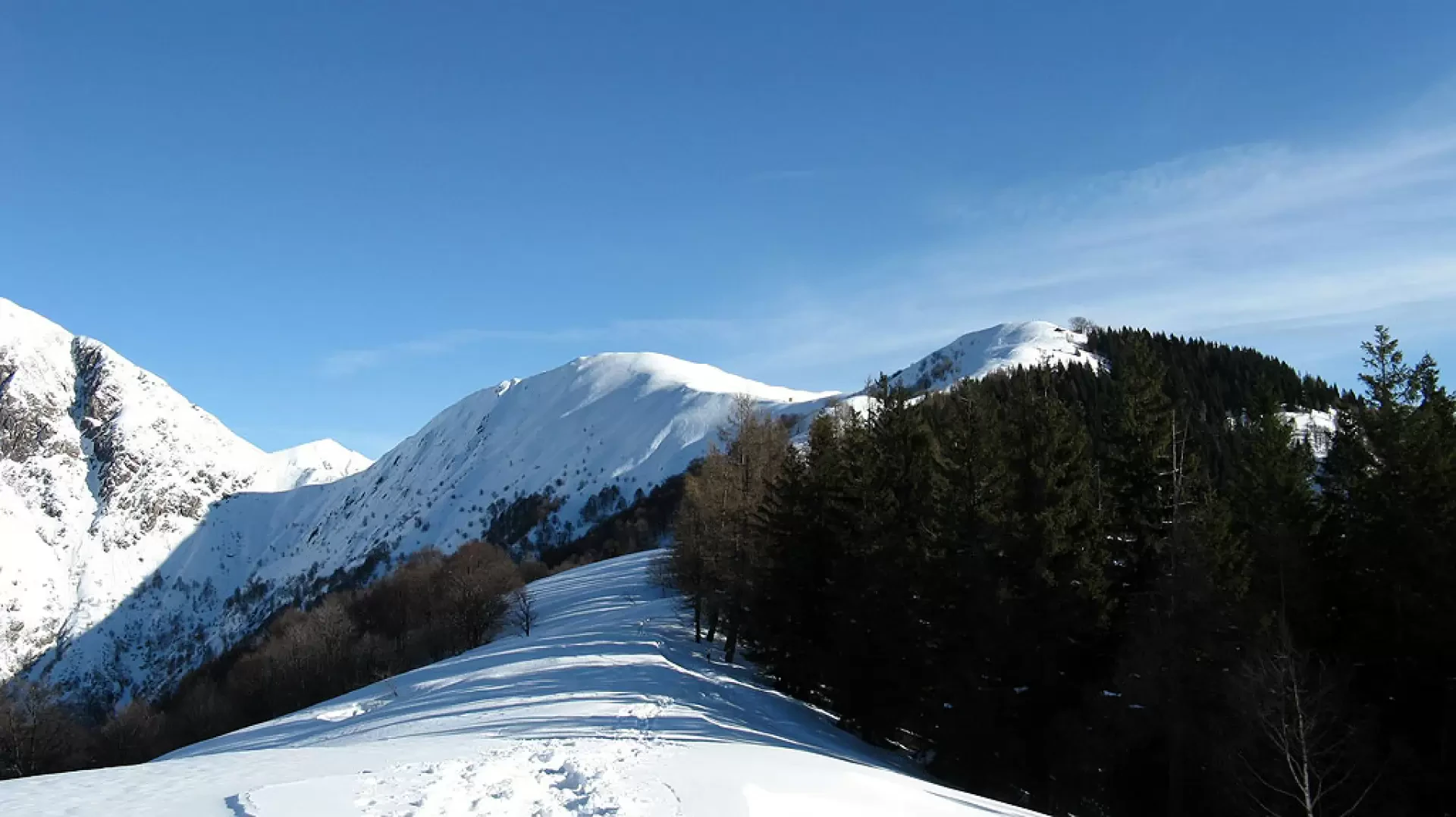
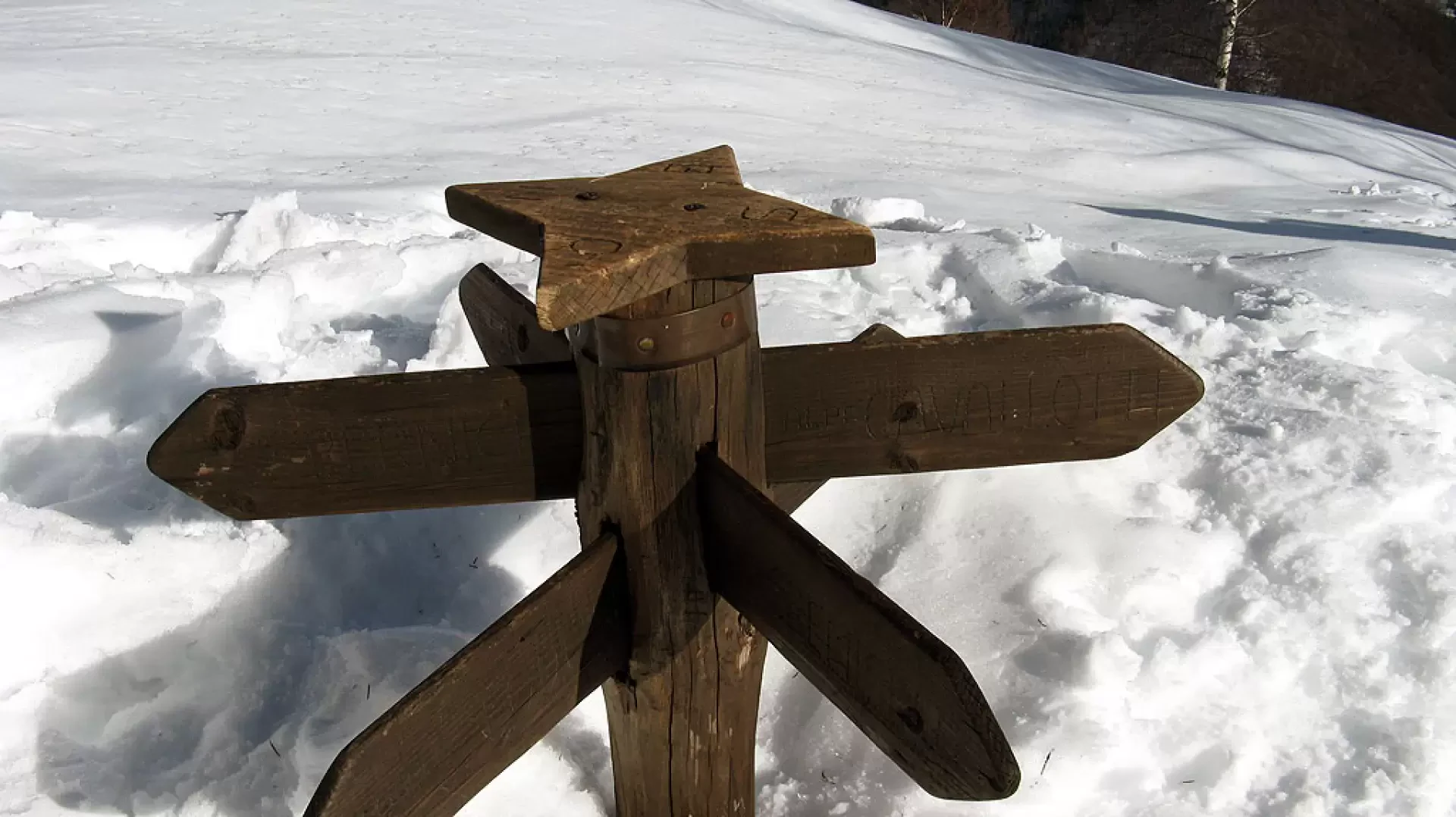
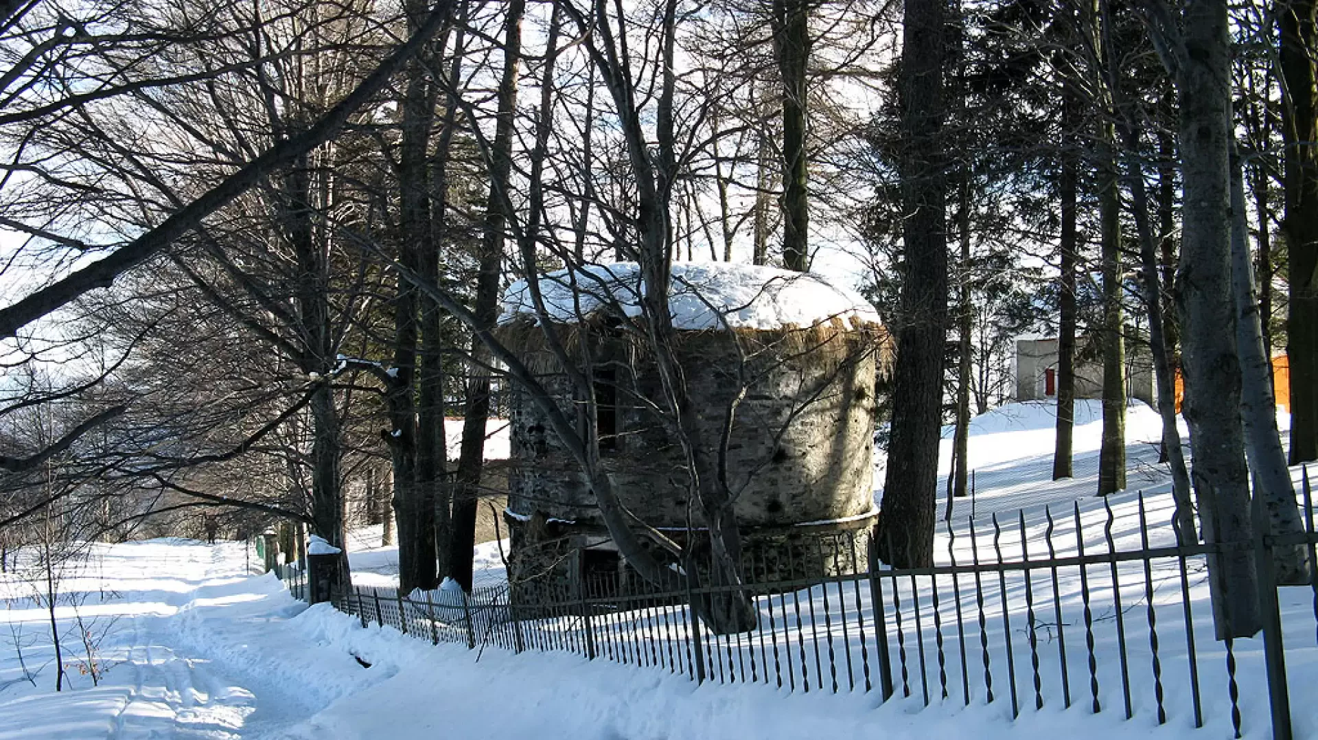
We set off from the car park following the road that leads, in a short time, to Cappella Fina, ignoring the tracks that climb steeply into the wood. At Cappella Fina, continue along the road that climbs very gently into the wood; at the first (and only) fork, follow the road to the left (the one to the right is closed by a bar and is a forestry service road). The route continues into the birch forest (we are at the bottom) and skirts the slopes of Pizzo Pernice.
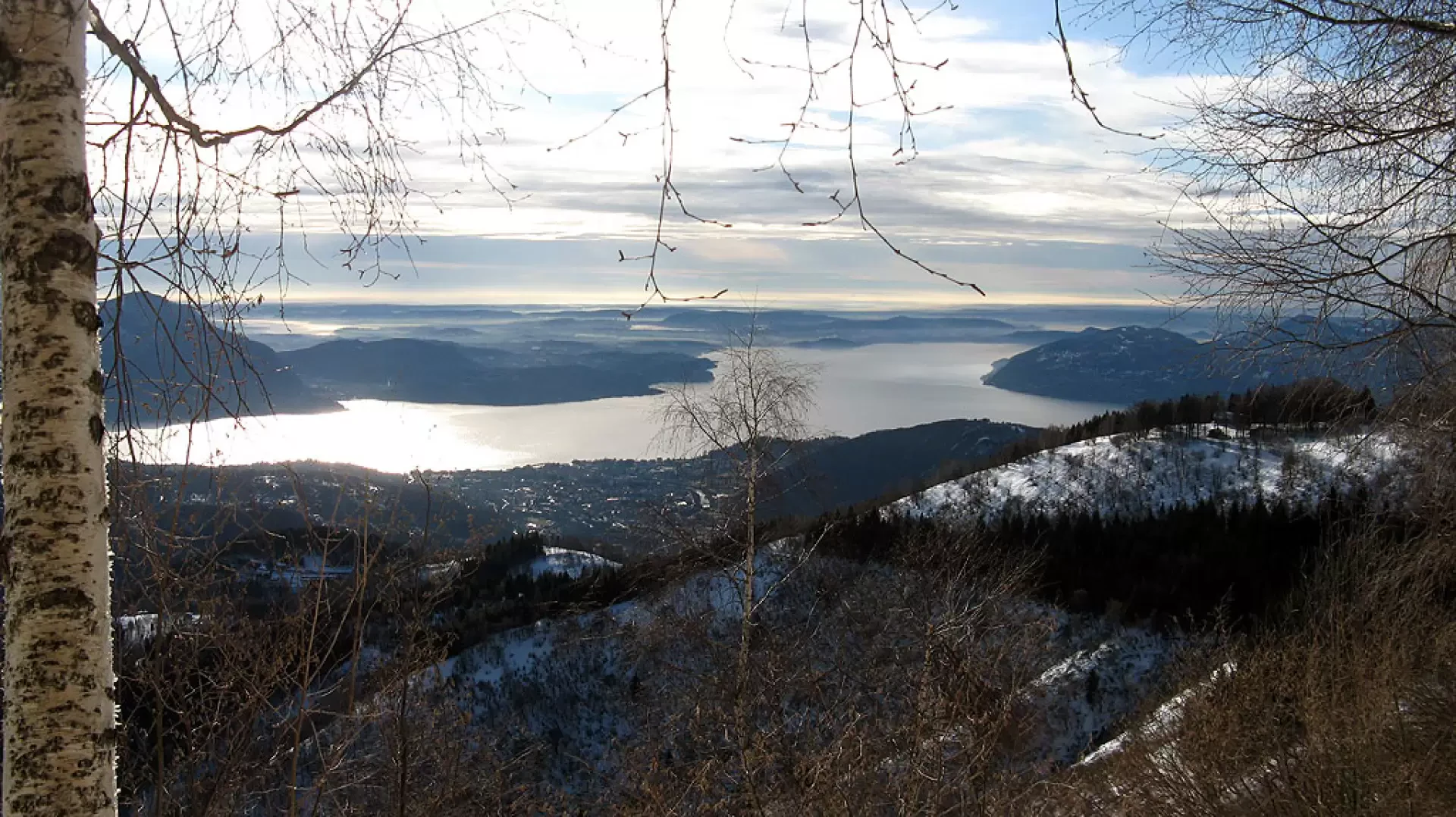
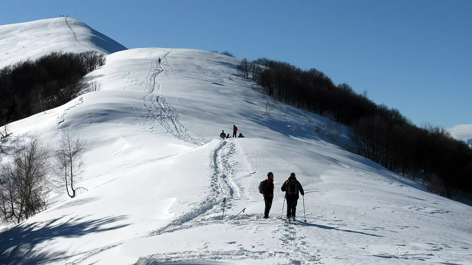
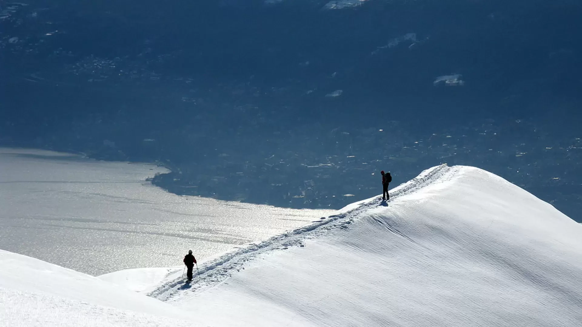
The panorama gradually becomes more and more interesting, with suggestive views of Lake Maggiore. Just before Pian Cavallone, there is a rather steep traverse that requires some attention because it is rather exposed; it is a fairly short stretch that takes you back into the woods (a very dense pine forest) and soon reaches the watershed ridge (1h 30' from the start). Here the panorama opens out over the Val Grande.
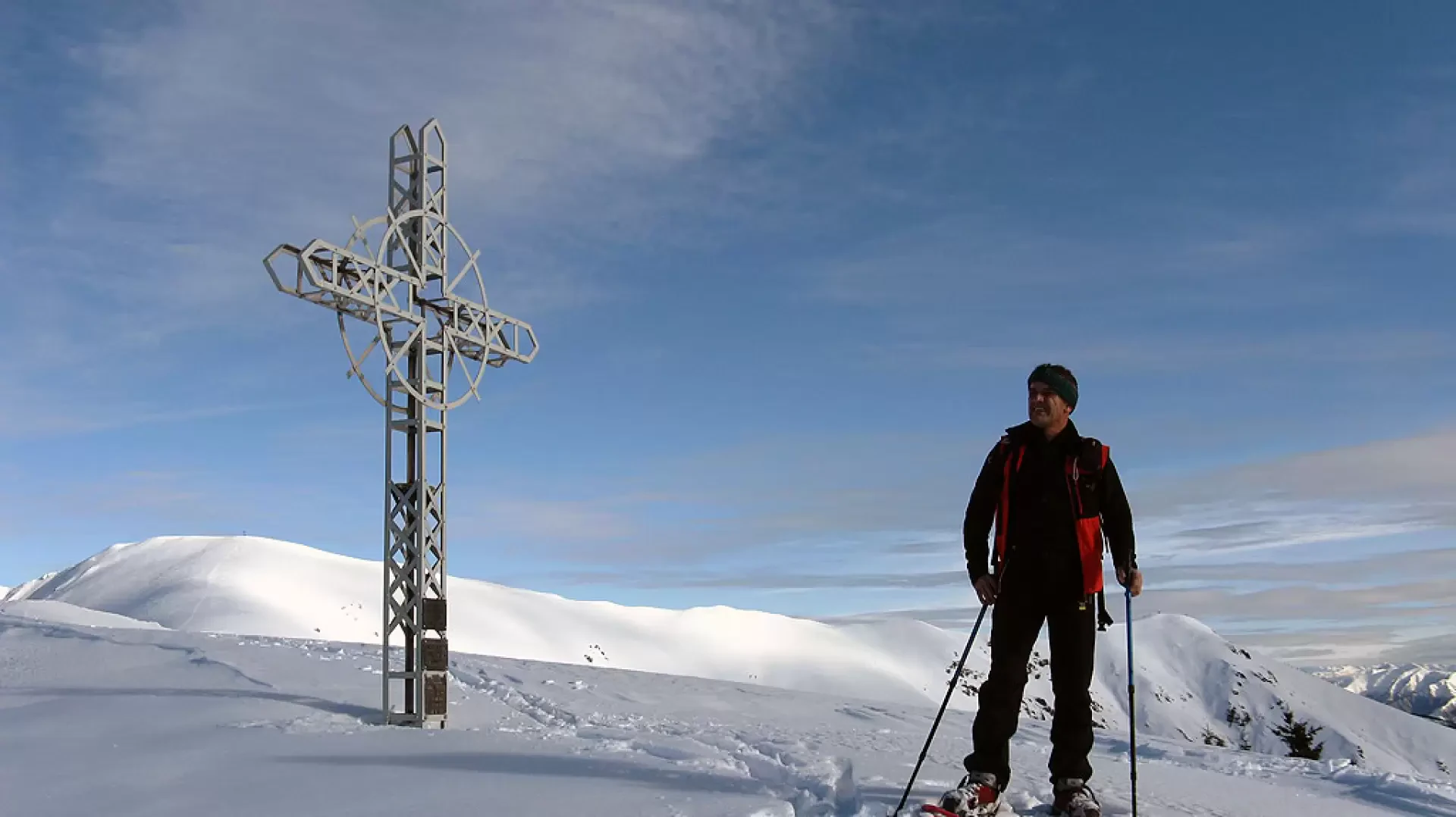
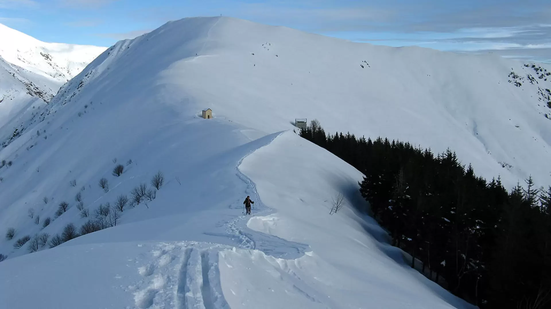
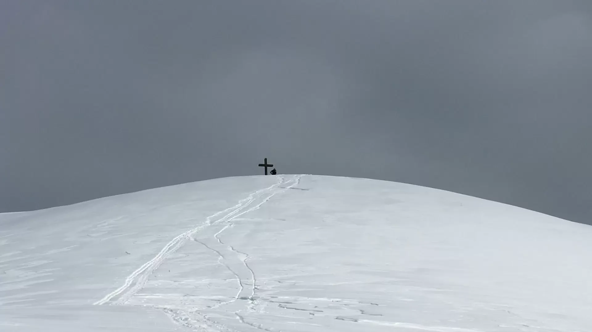
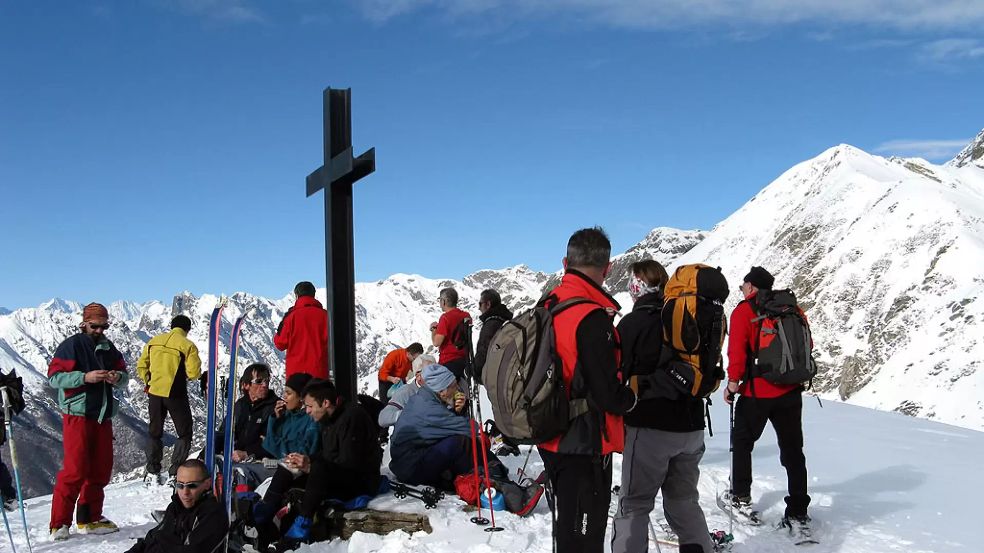
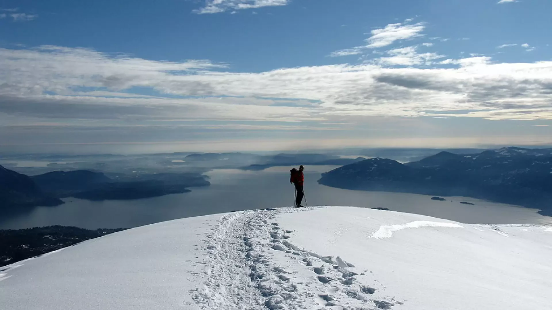
Now the path follows the ridge line, climbing decisively towards the summit of Pian Cavallone (cross). It descends just as decisively to the chapel and hut of the same name (closed in winter). Still following the ridge line, we tackle the final ascent to the summit of Monte Todano, at first gentle and then increasingly steep (1h10' from the start of the ridge). The landscape sweeps 360° over Lake Maggiore, Monte Rosa, the Dom, and closer, the Pedum, La Laurasca and Monte Zeda, while among the clouds, the King of Stone peeps out. Towards the south the Lombardy Pre-Alps with the Grigne and the Legnone.
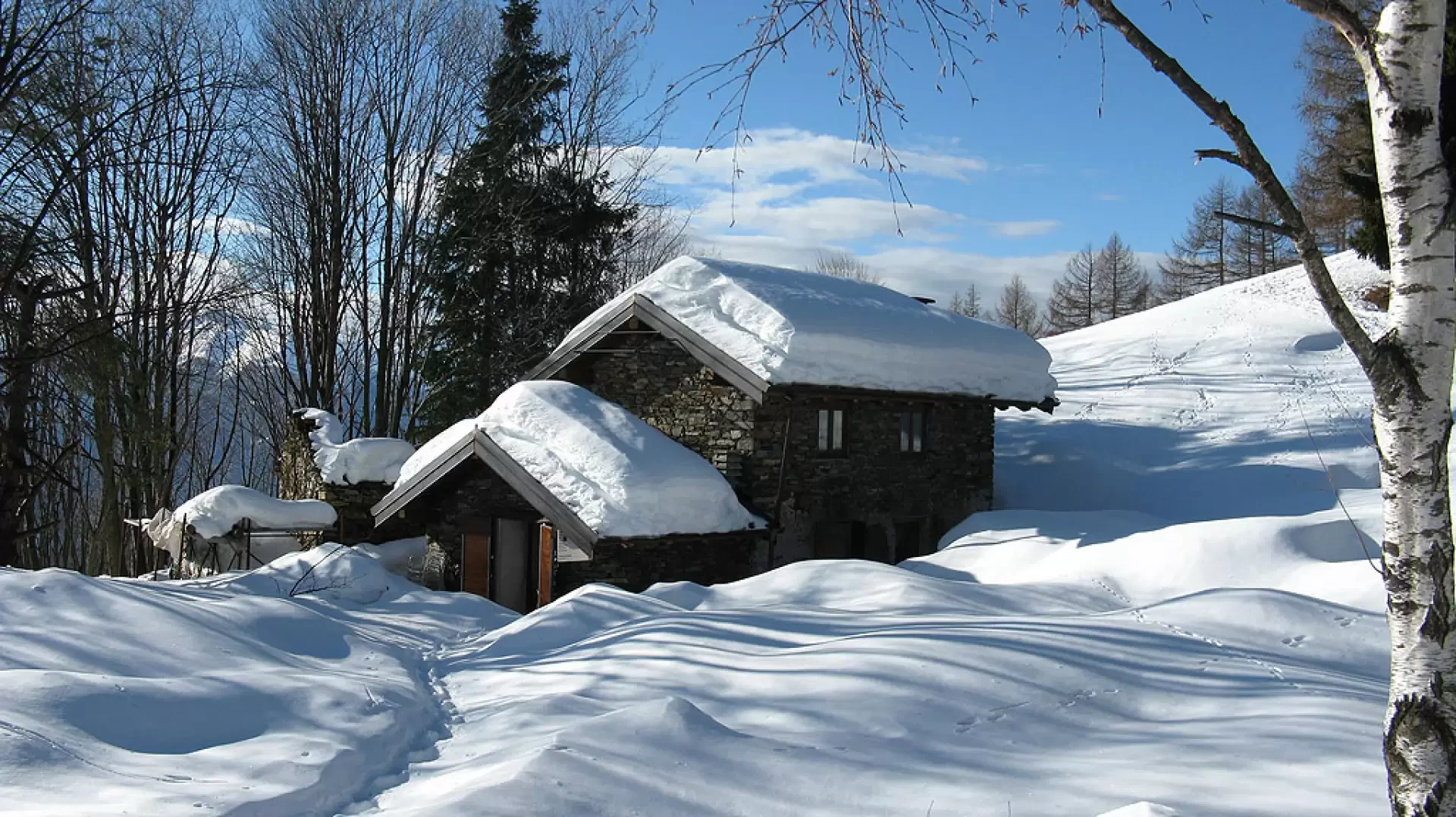
We set off again following the uphill track, returning in a short time to the watershed ridge from which we started; we now continue to follow the ridge that leads with a decided ascent to the summit of Pizzo Pernice (1h10'). We descend, still following the evident tracks on the ridge line, on a slope that becomes rather steep when it enters the forest. The descent becomes gentler and you return to the birch forest again, shortly arriving at Alpe Cavallotti (a few huts and a fountain).
You continue along the path that skirts a few houses and after a short while you arrive at Cappella Fina, closing the loop. From here you can continue on the outward path or head directly for the car park following the obvious tracks through the woods (1h10').
Photo gallery
Comments (0)
Sign in to leave a comment