Comboé, from Pila


Edited by:
Giancarlo Beretta
Updated at: 03/09/2024
Introduction
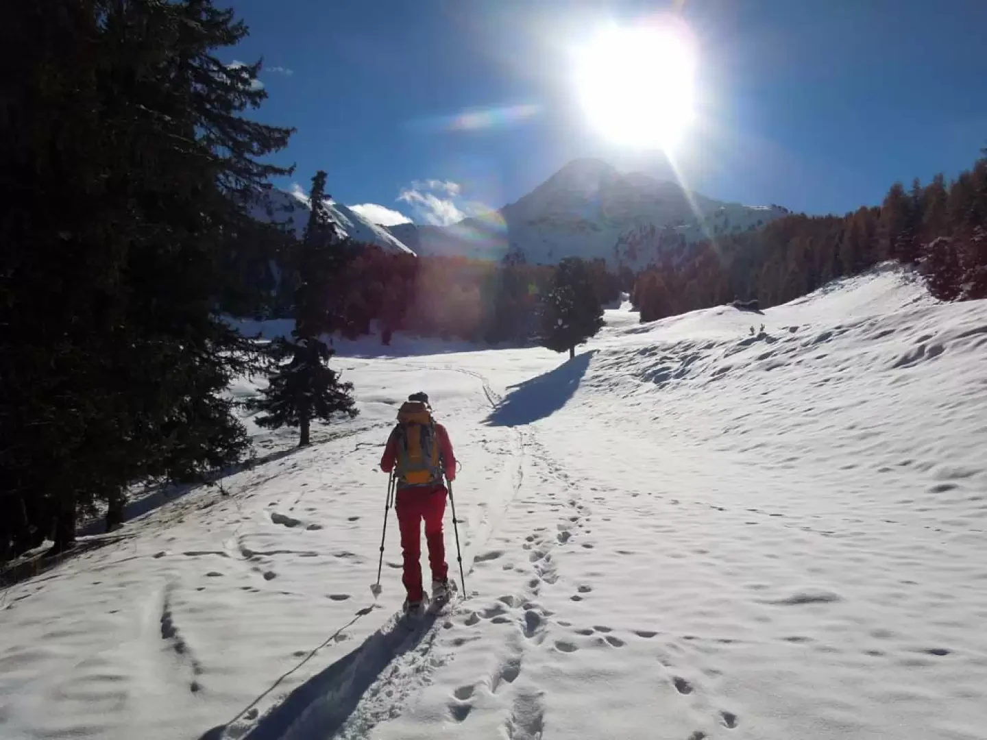
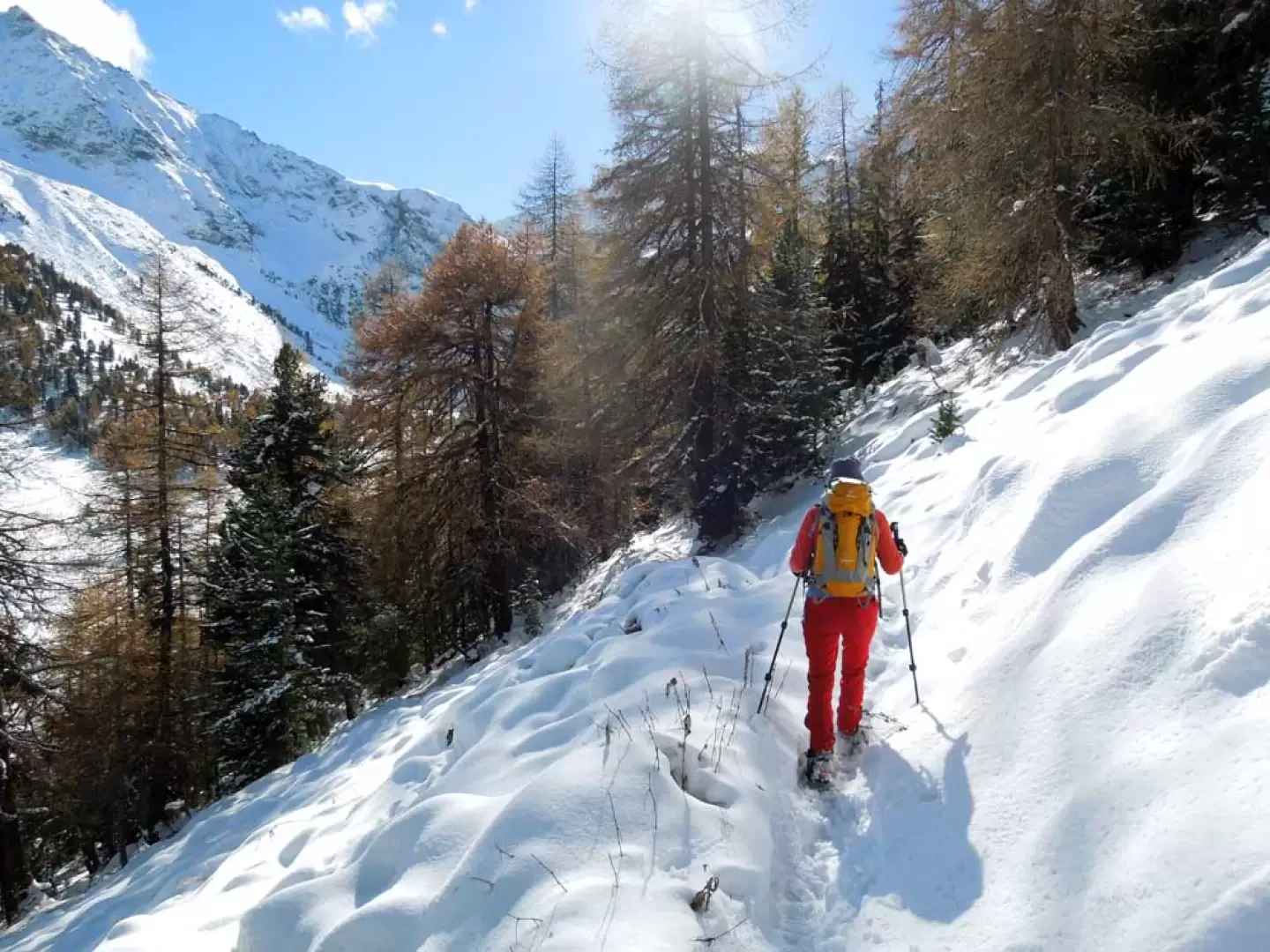
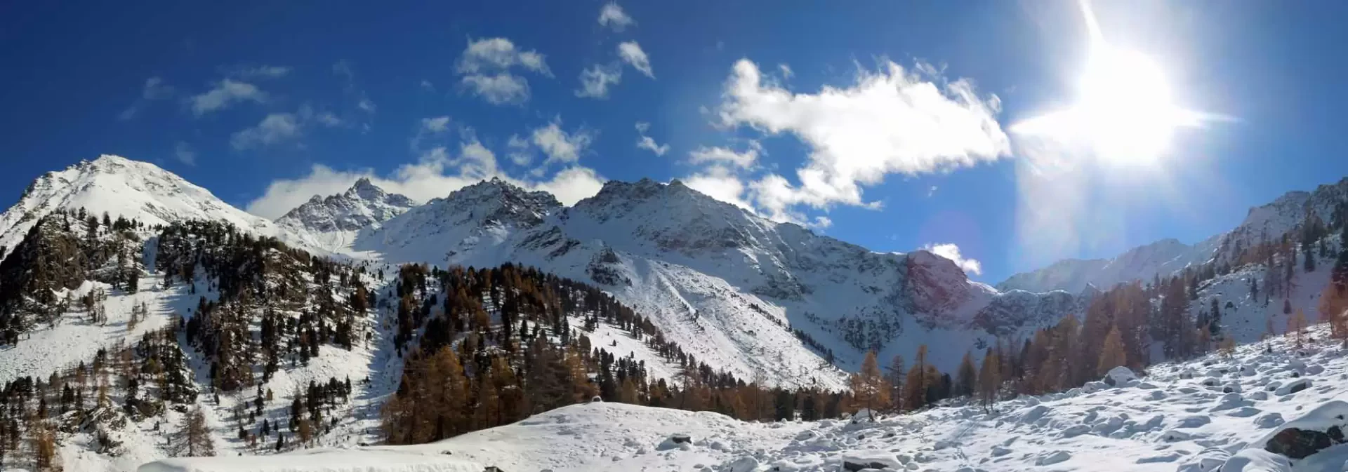
This excursion takes place on the edge of the Pila ski resort and winds its way through the beautiful coniferous forests that surround it, passing by slopes, slopes and alpine pastures immersed in the muffled tranquillity of the winter environment. The Comboé alpine pasture is located in the beautiful and solitary basin of the same name, enclosed to the east by the high buttresses of the Becca di Nona, which then slope down into a semicircular ridge that closes at Col Plan Fenêtre; Since the alpine pasture is closed in the basin, the panorama is only open to the north in the direction of the Becca di Viou, Mont Mary and the Becca di Senéve, while for the rest the environment, although not offering spatial views, offers an incomparable and evocative sensation of tranquillity, immersed as we are in the silence of the valley. The gradients are a little steep only in a few short initial stretches while, for the rest of the route, they allow for a quiet progression that allows us to admire the beautiful and extensive panorama of the peaks to the north of the central valley. The trip would be best done when the lifts, or even just the slope, are closed but, if you walk on the wooded edge just outside the slope, it can be done throughout the winter season.
Description
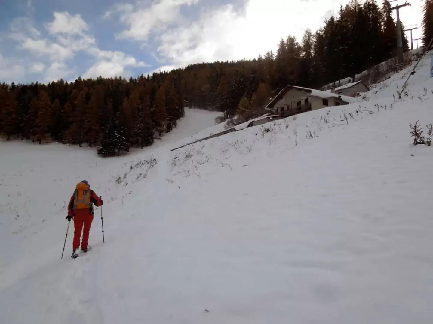
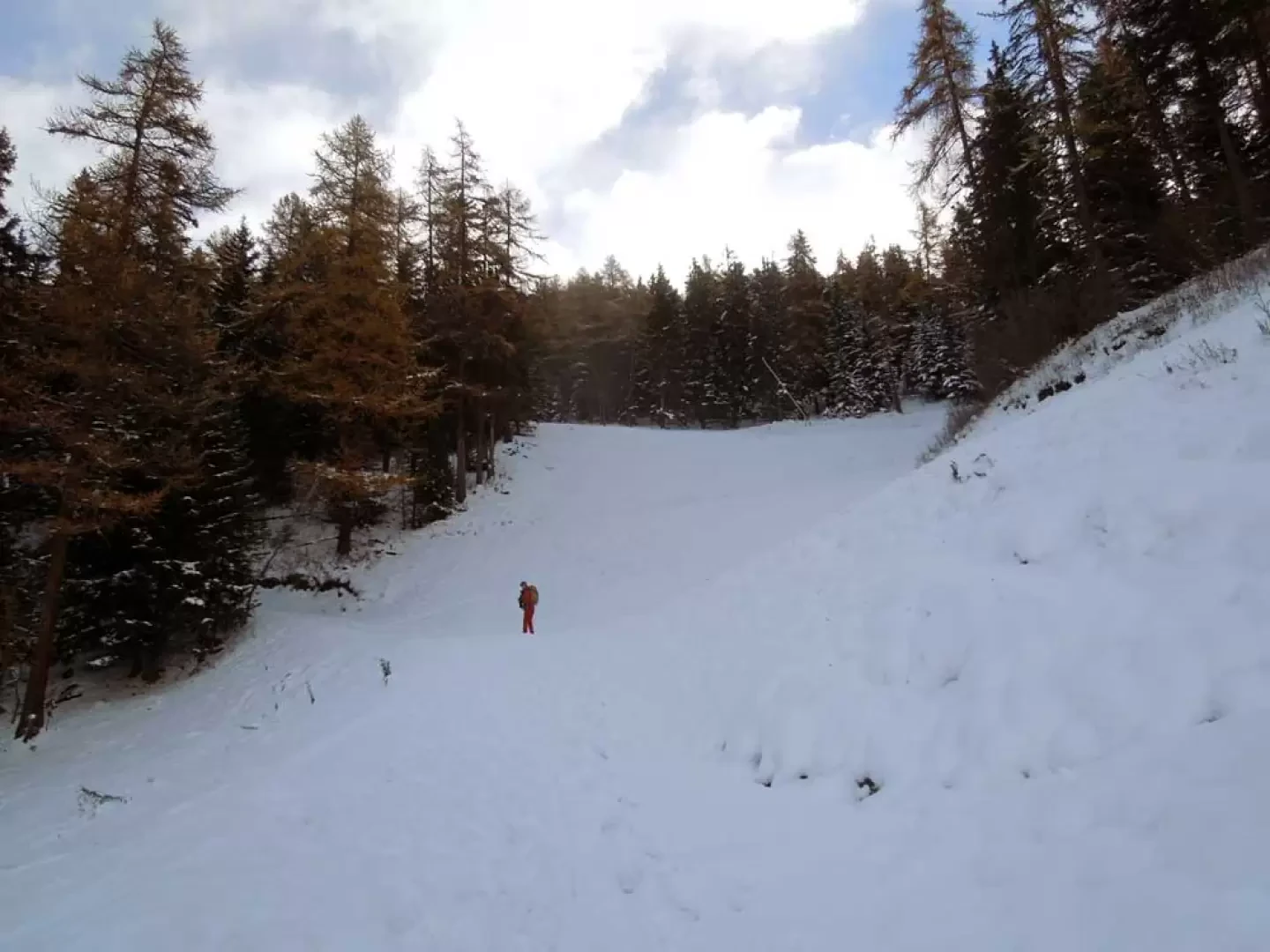
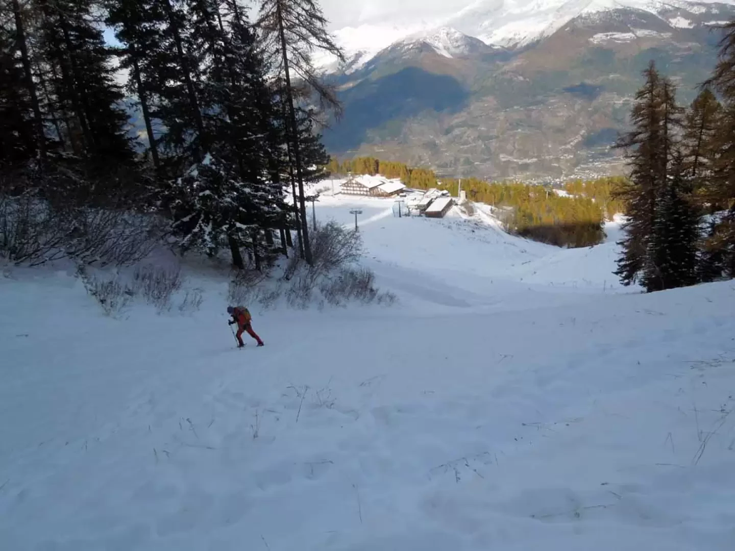
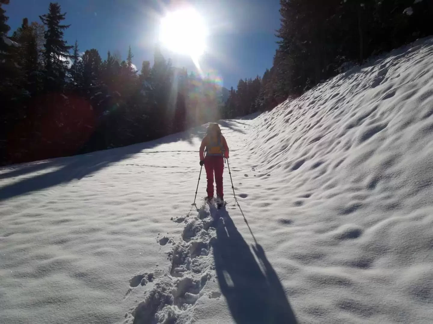
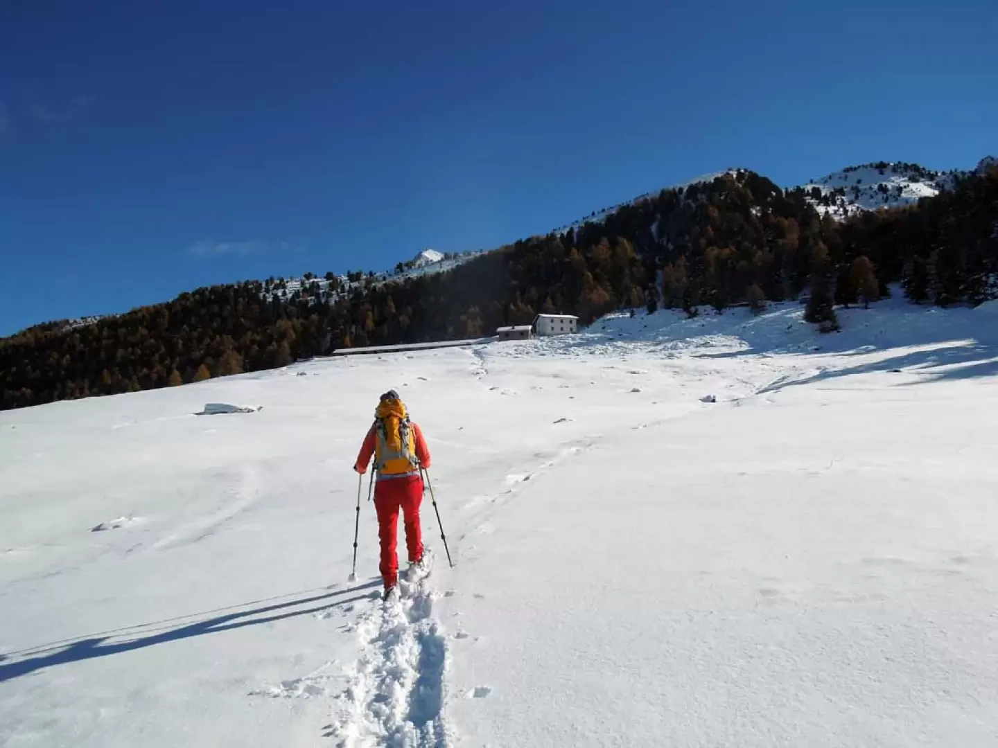
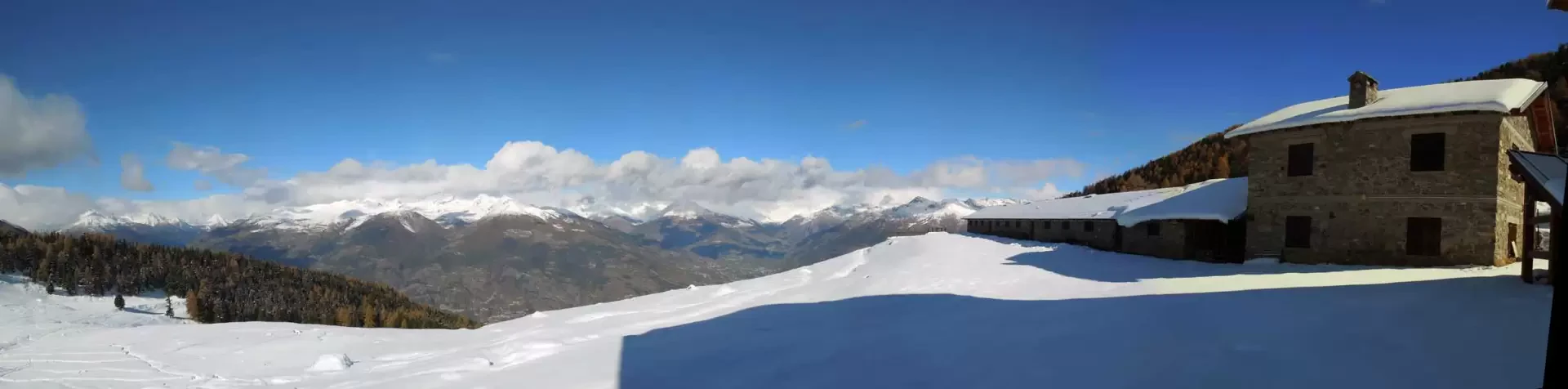
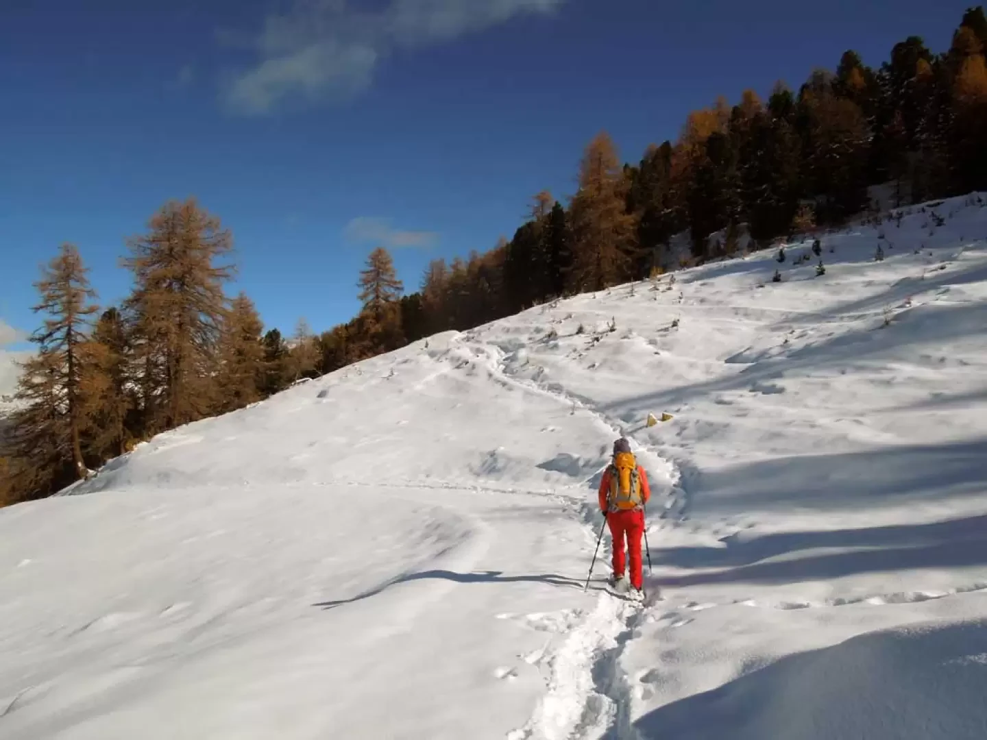
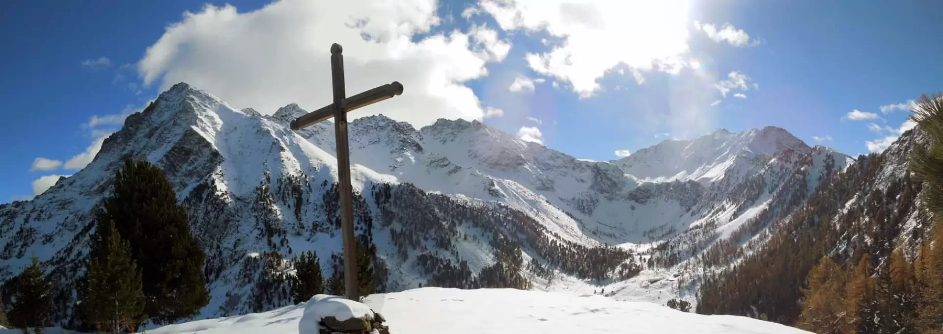
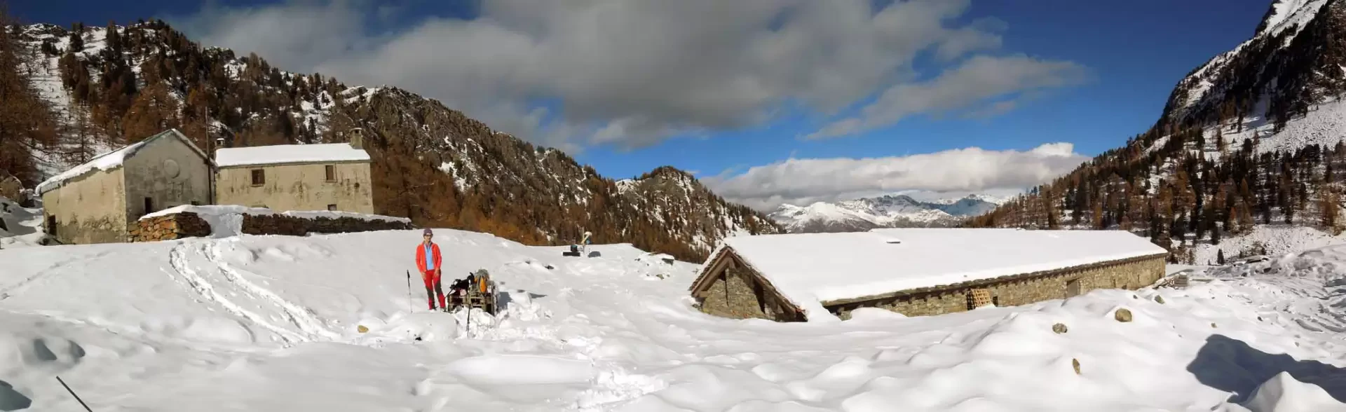
From the car park, go up the steps that lead to the start of the chairlift and, skirting the metal pylons, begin to go up the slope in the direction of a hut that is clearly visible on the left a little higher up; when you get near the latter, go under it to the left, then turn right at the start of a wide ski slope (1855 m). After ascending the first, somewhat steep section, the route flattens out slightly and, after leaving a path to the right that leads into the forest (2067 m), you reach a wide plateau. Keeping to the left, head towards the obvious alpine pasture on the edge of the wood and then, climbing the gentle slope, you soon reach the Chamolé hut (2162 m). Pass behind the building and turn right towards the wood, where, at its beginning, you leave the track of the farm road to the left and enter it at a stone with a marker (2167 m). The route now follows a slightly sloping path making a traverse that cuts across the steep wooded slope and, after passing a fork with a path coming from below (2243 m), reaches the panoramic hillock of Col Plan Fenêtre topped by a wooden cross (2246 m). From the posts located near the pass, descend to the right, first making a few hairpin bends that quickly lose altitude, and then descend more gradually along a more or less straight path. Shortly after, cutting across the steep coniferous slope, you will reach the bottom of the valley, where you will soon arrive at the Comboé alpine pastureland.
Photo gallery
Comments (0)
Sign in to leave a comment