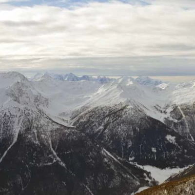
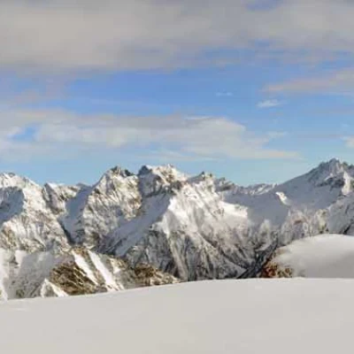
Col de Champillon, from Le Haut-Prabas
Access
Take the Turin-Aosta motorway and exit at the Aosta East barrier, continuing towards the Gran San Bernardo tunnel. Immediately after the second tunnel, take the junction for Valpelline on the right and follow the road as far as the hamlet of Rhins, where, on the left, there are signs for Doues. After a few kilometres and the village of Doues, follow the signs for Torrent and Champillon; after a few hairpin bends, you will reach the hamlet of Le Haut-Prabas, where the road is usually open in winter and where you can leave your car in a nearby clearing.
.Introduction
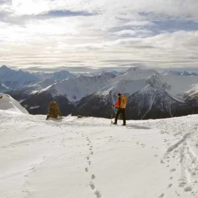
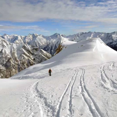
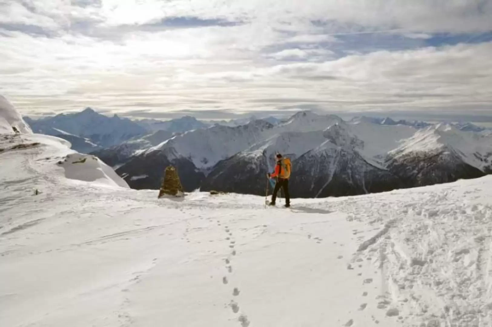
The long ascent to this scenic pass can be divided into two distinct parts: the first, up to the Letey hut, is easy and generally safe from objective dangers, while beyond it the ascent of the gully becomes a little more demanding with some slopes and some more exposed traverses: technically there are no excessive difficulties, although to tackle the ascent it is necessary, as usual, to find out about snow and weather conditions and assess any snow loads on the slope. On the approach route, you pass scenic alpine pastures at first and then, as you enter the valley of Ollomont, you are offered a spectacular view of the Grand Combin and other neighbouring peaks, before arriving at the pass where your gaze sweeps over the lower valley of the Great St Bernard Pass.
Description
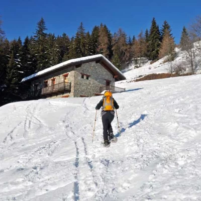
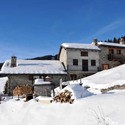
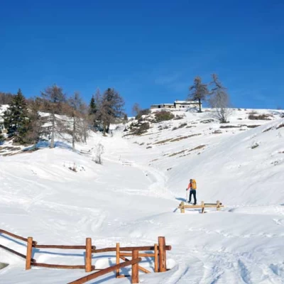
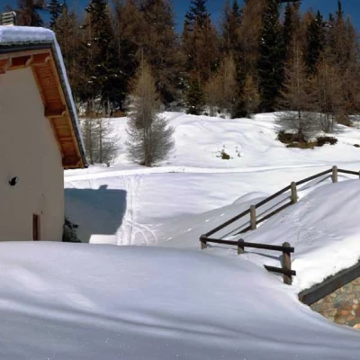
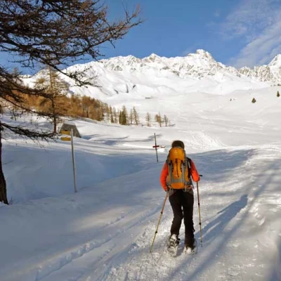
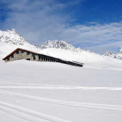
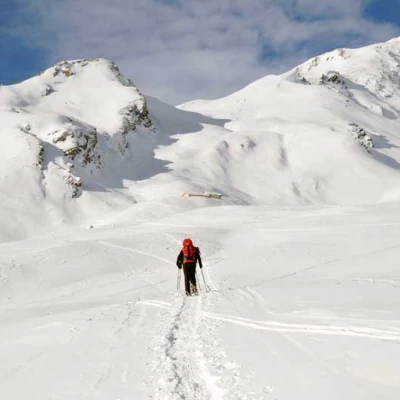
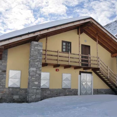
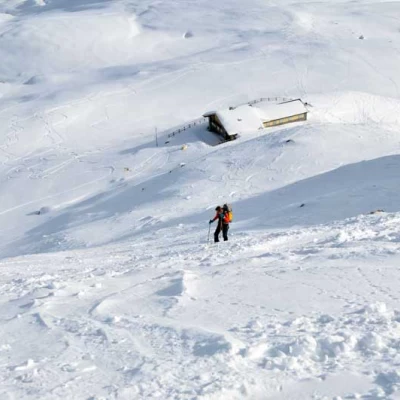
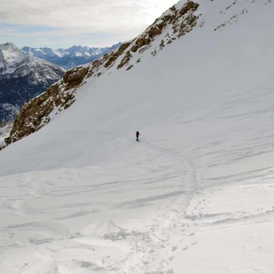
From the road, go up the gently rising slopes to the north without any prescribed path and, crossing the track just above, head for the obvious Pointier hut (1648m), which is situated on the edge of a small coniferous forest. Pass the building and continue behind it, passing between a few trees to reach a short, slightly steeper slope, at the upper end of which is the panoramic baita di Rossa (1734m); passing it on the right, go up a chute that reaches the main road again, passing next to a baita fenced in by a fence, to then climb a short slope that reaches the Plan Taredaz alpine pasture (1836m), which is clearly visible a hundred metres above. Continuing in a northerly direction, cross the farm track again to reach the Parc alpine pasture (2063m), with its characteristic half-barrelled stables, from where you now follow the road to the right, passing by an old building and making a slight bend to the left to reach Plan Debat (2088m), where you will come across some signposts. From this point, the panorama changes decisively, passing from views of the Aosta basin and the peaks of the southern part of the valley to the nearer and more suggestive scenery of the Ollomont basin, with the Grand Combin towering over Gèle, Velan, Avril and the other Valpelline peaks. Having passed the posts, turn left just before a stone cross and continue along an almost straight path towards the undulations that lead to the clearly visible Tsa de Champillon (2309 m) alpine pasture, which you pass, turning slightly to the left, then climbing up the snowy bumps with a few hairpin bends to reach the panoramic construction of the Letey hut (or Champillon, 2436 m). Passing behind it on the left, we begin to climb, with a path that becomes a little steep and tiring, the slope that descends to the right of some rocky buttresses, making a few hairpin bends; when the terrain becomes even steeper, we then move to the right of the gully with a wide traverse that cuts across the slope. A few more metres are a little steep and then the slope decreases noticeably and, heading towards a wide gully, you soon reach the little stone cairn situated at the pass.
