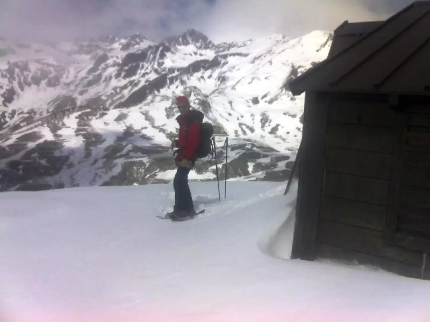
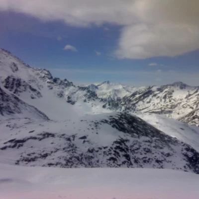
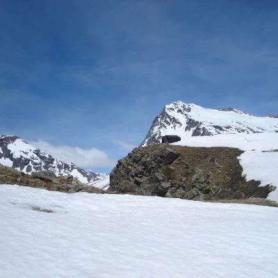
Regondi bivouac, from Glassier

Access
Lasciare l'autostrada alla barriera di Aosta Est, svoltare a destra e imboccare la superstrada , da seguire per 8,4 chilometri. All’uscita della galleria, dopo 130 metri, svoltare leggermente a destra per imboccare la strada regionale per Bionaz. Alla rotonda, prendere la seconda uscita e proseguire lungo la regionale, superando i villaggi di Signayes e Rhins, e l’abitato di Valpelline. Dopo 16,9 chilometri, svoltare a sinistra e prendere la strada regionale per Ollomont. Risalire la regionale attraversando il capoluogo di Ollomont e i villaggi di Voueces e Vaud, fino a giungere, dopo 23,8 chilometri, a Glassier. Poco prima del villaggio, sulla sinistra, si trova un parcheggio 🅿️ gratuito con una stazione di ricarica per veicoli elettrici.
Distanza e tempo di percorrenza
🕒 Tempo di percorrenza: 29 minuti
📏 Distanza: 23,8 km
Navigazione GPS
📍 Come arrivare con Google Maps
📍 Come arrivare con Apple Maps
Nota importante
Le indicazioni fornite sono state verificate alla data del rilievo dell’itinerario. Prima della partenza, è consigliabile verificare eventuali variazioni del percorso. Per ottenere indicazioni aggiornate e dettagliate, si consiglia l’uso di Google Maps o Apple Maps.
Description
From Vaud, we descended to Ollomont and from the ski lift we climbed up to Col Cornet, leaving the Alpe Berrio damon to the right and the path to the Col Breuson, which was snowless so far. Over the col a lot of snow, we put on our snowshoes and tried to follow the summer route, when possible, almost always upstream of it. We thus reached an altitude of 2465 (stick) near the Incliusa lake, where the path coming from the Acqua Bianca plain arrives, before the last few small roads leading to the bivouac. Once at the bivouac (door closed by the snow), take a half-hour break, then return to the stick at altitude 2465 and descend to the Acqua Bianca, looking for the less steep parts of the slope where the summer path passes (if you wish, you can return to the Cornet pass and from there descend to the Acqua Bianca on gentler slopes). On the level, we follow the stream then reach the ruins of Places and follow the marked path, which is finally visible, to reach the Gaula, which is an uncomfortable traverse on avalanche snow. After the Gaula, the snowshoes hold on almost to the Madonna, then the path (ice jumps) avoiding Glassier takes us back to Vaud. Fauna sightings: Capra ibex, Marmota marmota
.

