Berrier, from Ru
Access
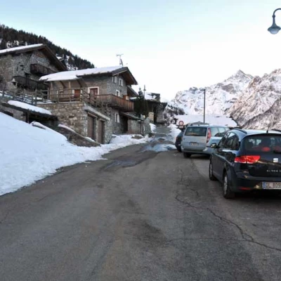
You take the Turin-Aosta motorway and exit at the Aosta East barrier to continue towards the Gran San Bernardo tunnel; after the second tunnel, take the junction on the right with signs for Valpelline. Follow the road along the valley floor as far as the entrance to the municipality of Bionaz, where, on the left, is the road for the hamlet of Ruz, which is reached after a few bends and where the car can be left in the car park at the entrance to the village.
Introduction
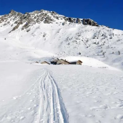
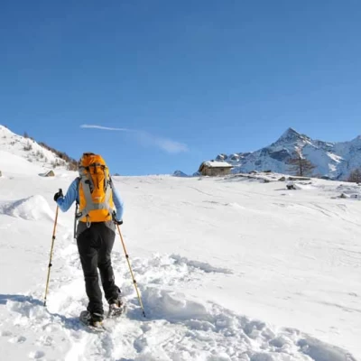
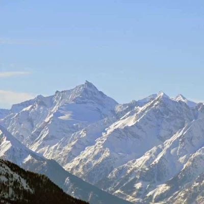
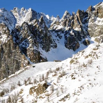
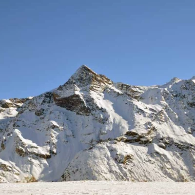
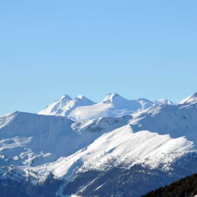
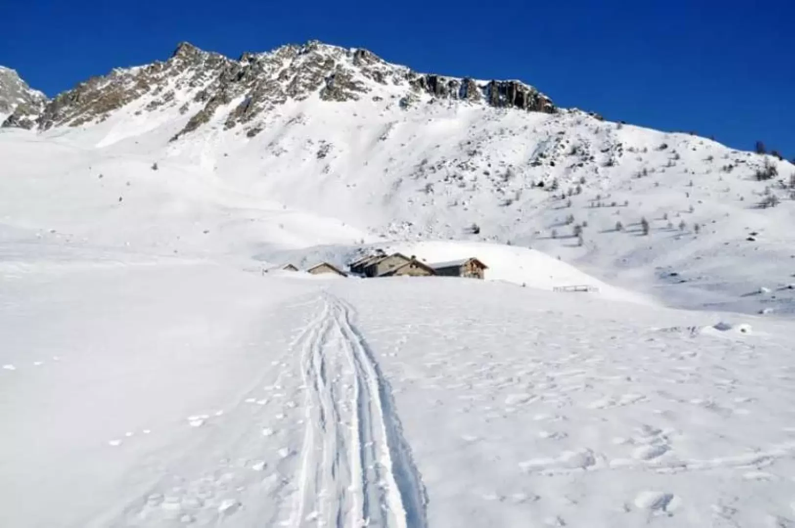
Easy ascent, also suitable for those who want to start out on this type of winter hike, as it is not difficult, but the only caution is to consult the snow and weather report, as usual, due to the passage, in the upper part, under a slope that could be drained with heavy snowfall. The alpine pasture, ebn restructured, is situated on a wide and panoramic plateau at the entrance to the Vertsan comba, with a splendid view of the nearby Becca di Luseney massif and the adjoining mountain chain that includes the Becca del Merlo, Mont Faroma as far as the Becca di Viou; there are also beautiful views of the distant Grivola and the Rutor group.
.Description
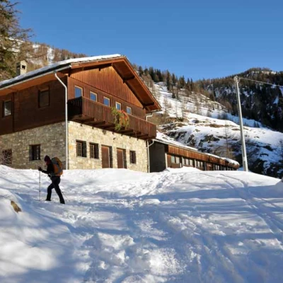
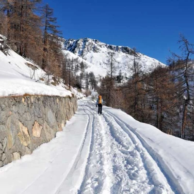
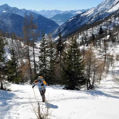
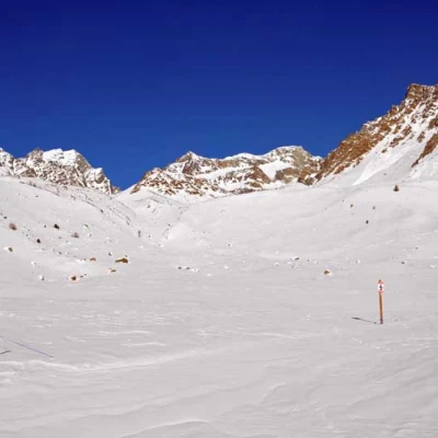
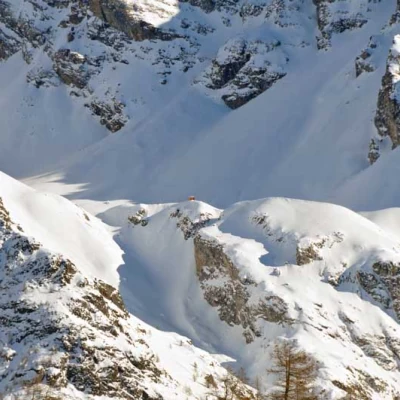
From the car park, walk towards the few houses and, after crossing them, take an easy track that climbs gently up the side of the mountain with comfortable hairpin bends. After a few of these, you pass in front of a large hut (1772 m) and continue walking through the sparse forest, climbing and, still with a gentle slope, the route shifts slightly to the right, climbing under the wide slopes that descend from the aiguille de la Roletta. At the end of the hairpin bends, the route continues in a straight line to the east, again passing under the wide and high slopes that descend from Mont de Crȇte Sèche; having reached an altitude of about 2,080 m, the track turns to the right but here it is advisable to continue straight ahead to avoid excessively lengthening the route by heading towards an evident water lock. When you reach the latter, keep to the left without reaching it and start to climb up a low promontory which, with a few steep climbs, leads to a wide panoramic plateau where there is a small hut (2187 m); without reaching it, leave it to the right and, continuing for a few dozen metres, you reach the huts of the alpine pastureland which is the destination of this excursion.
.