Albert Heim Hütte, from Galenstock


Edited by:
alby
Updated at: 27/05/2025
Access
By car, head towards Como, then follow the signs for Gotthard, past the tunnel follow the signs for Andermatt and then for the Furka Pass to Realp.
Introduction
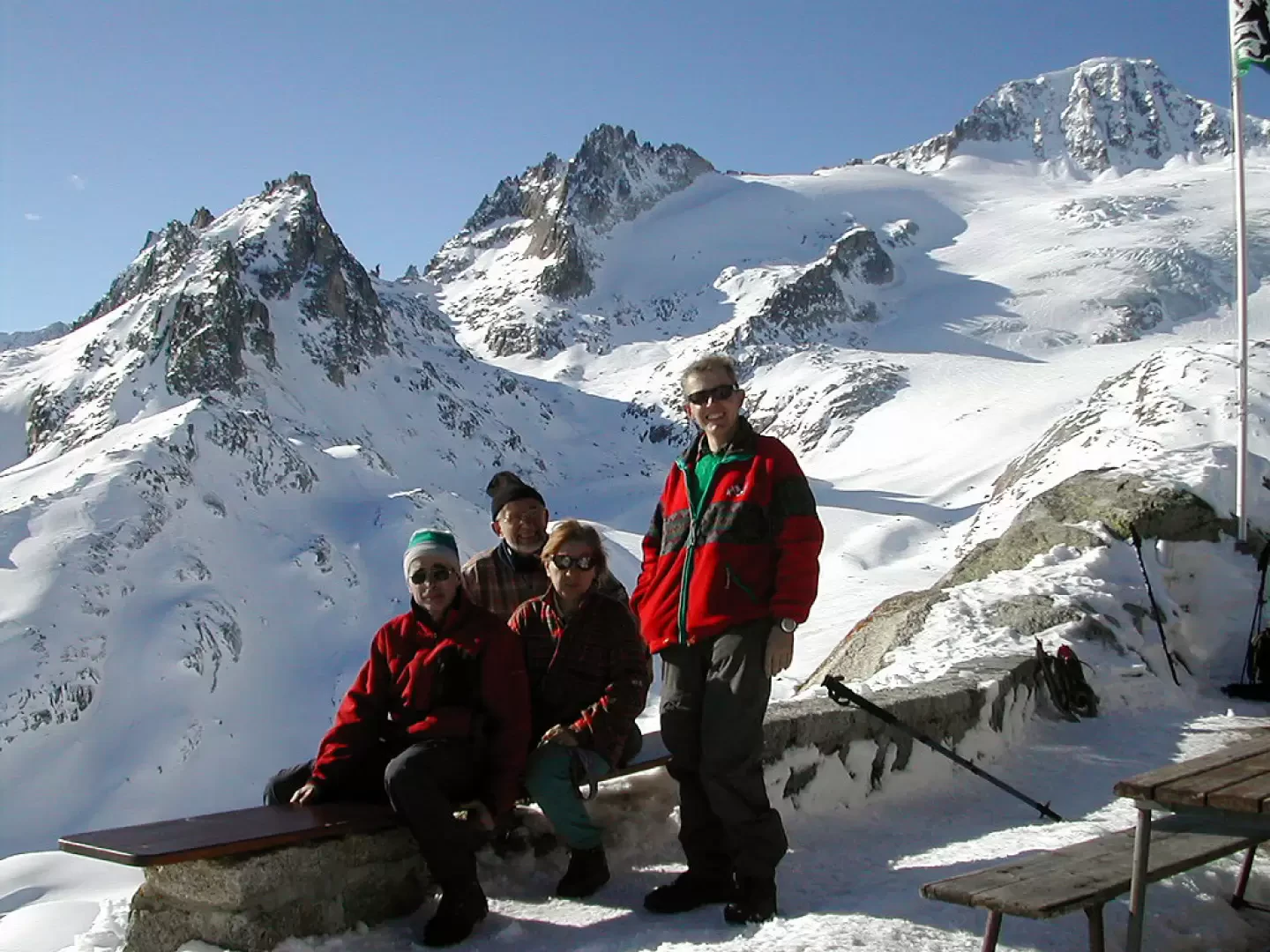
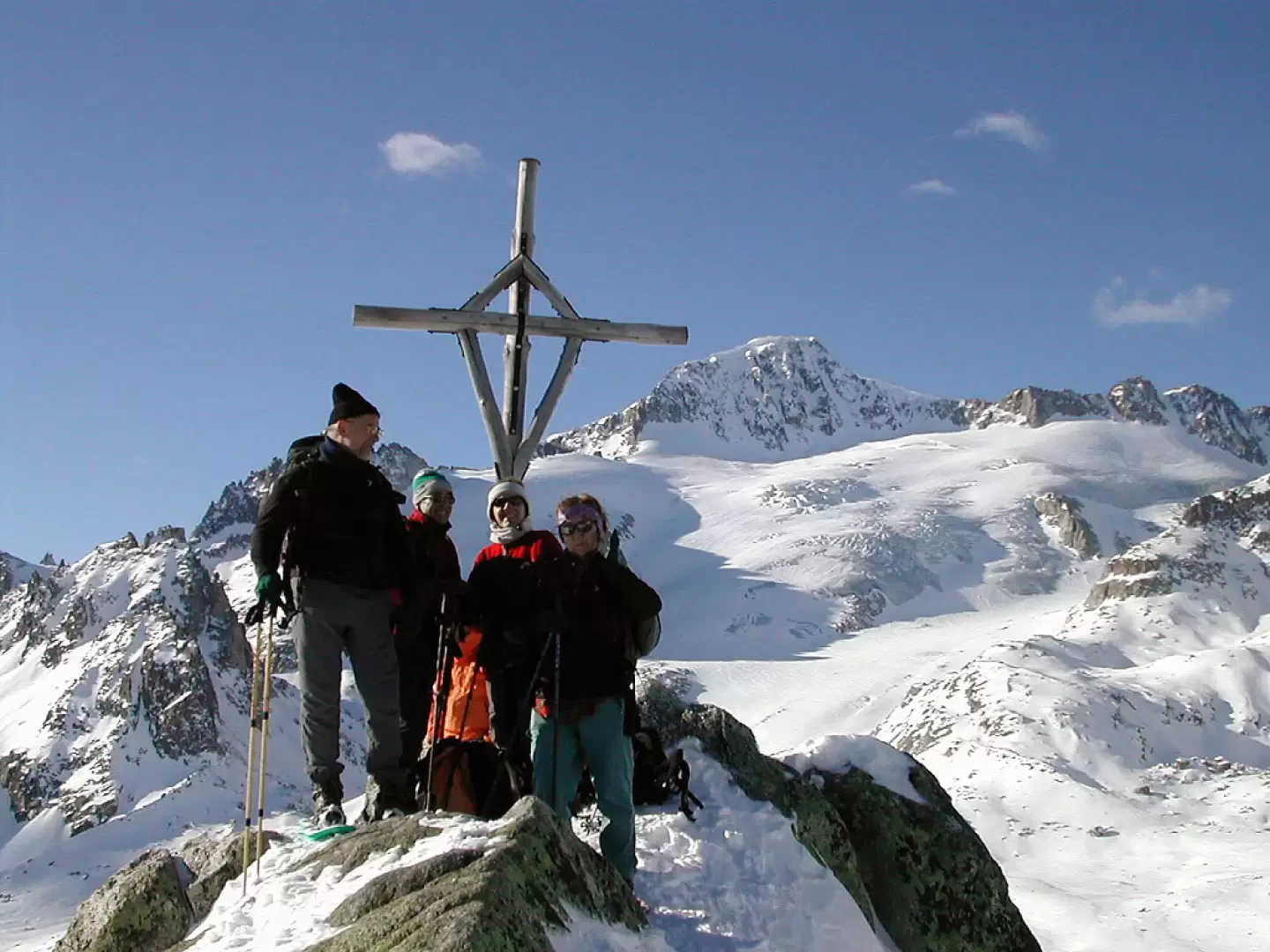
Winter route for the ascent to the Albert Heim Hütte.
Description
0h00' 0.00km From Realp, follow the road to the Furkapass (if possible you can follow the poles for the winter route, which cuts the road a long way) as far as the Galenstok hut, from here depending on the snow conditions and always on the safety of the route, you can either take the path uphill to the right and diagonally (always following the poles for the winter route) or go as far as the Tiefebach restaurant, from where you go up the little valley to the right of the stream until you cross the previous route, then, already within sight of the hut, go up a ridge to the AlbertHeim hut (2539m) 3h30' 12.85km .
The return is along the same route as on the outward journey 2h30' 12.85km .
Photo gallery
Comments (0)
Sign in to leave a comment