Valgerola skialp
Access
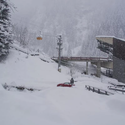
From Milan to Morbegno along state roads 36 and 38; at the roundabout at the entrance to the town, turn right towards Valgerola. Go up the entire valley to the village of Gerola Alta: after the last houses, just beyond the new multifunctional building, park in one of the open spaces near the valley station of a private ENEL cableway.
Introduction
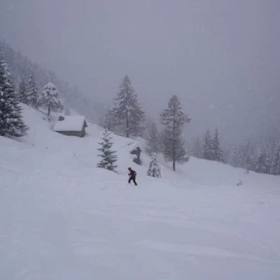
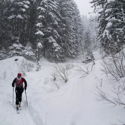
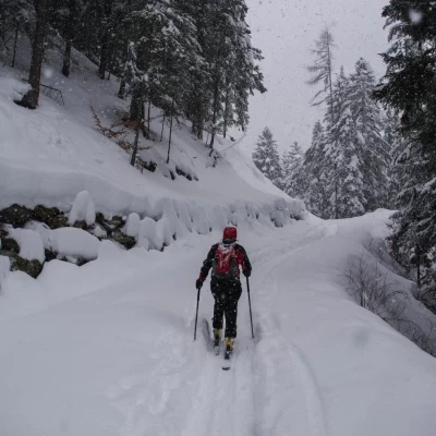
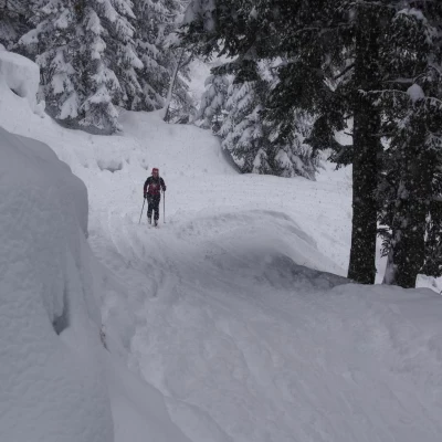
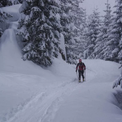
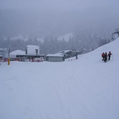
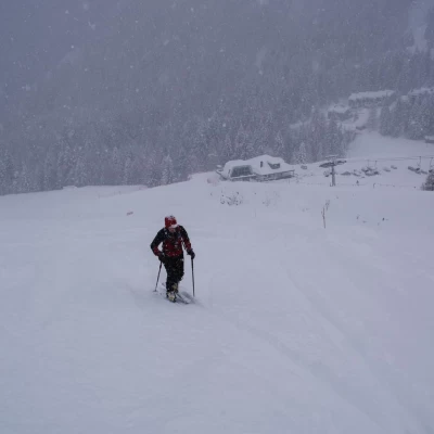
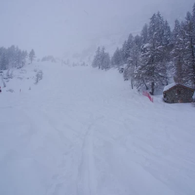
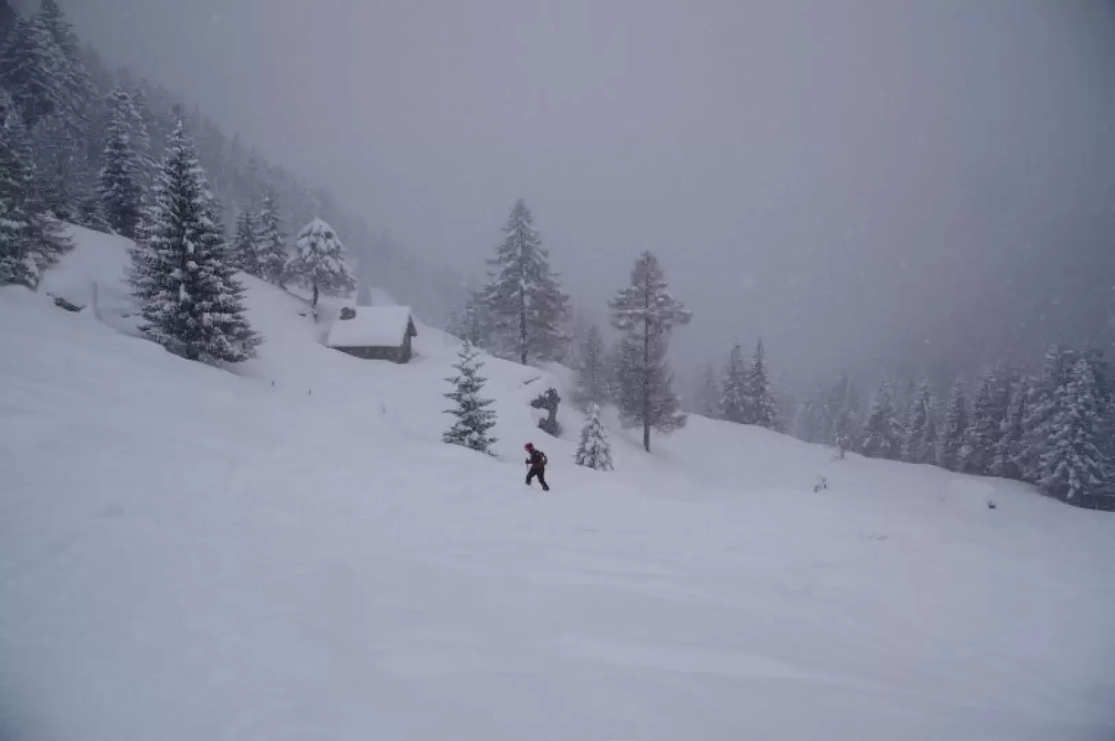
A very unusual excursion and definitely a fallback for days with bad weather or very high avalanche danger. The route takes place almost entirely on a forest track through a beautiful fir forest, away from traffic, on the opposite side of the valley from the carriage road; the final section runs along the edge of the slopes of the small ski resort of Pescegallo. In this locality, contrary to the current laws of the Lombardy Region, it is unofficially permitted to go up the edges of the slopes, naturally paying the utmost attention to the manoeuvres of downhill skiers. Furthermore, in the event of heavy snowfall in progress (and consequent low crowding), the pistes are not groomed and the tracks become ideal terrain for ski mountaineers. The route - of good altitude difference - is well known and popular with locals as training for races.
Description
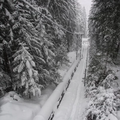
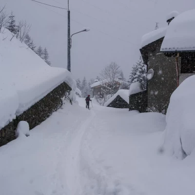
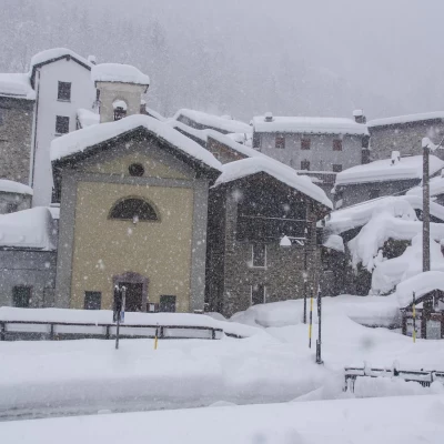
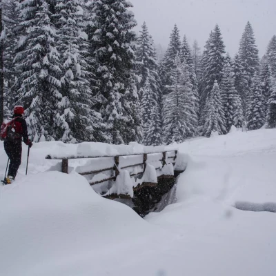
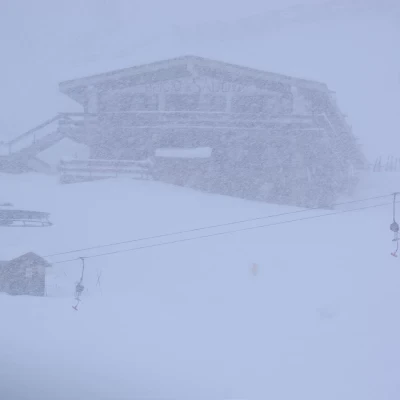
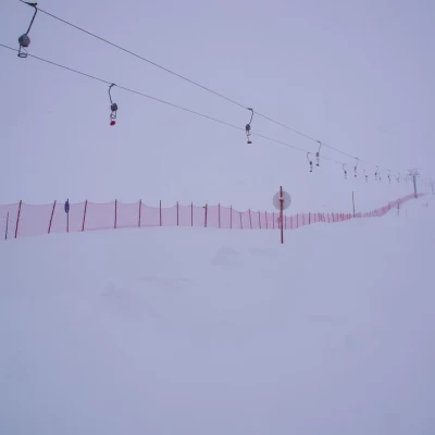
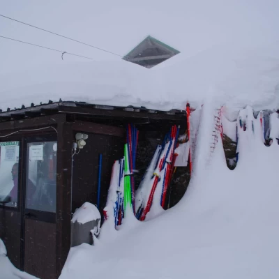
From the car park 1045m, take the forest track that branches off from the provincial road between the ENEL cableway station and the Bitto di Gerola stream; the track soon climbs to reach a long traverse that temporarily enters the Valle della Pietra before turning back into the main valley for good. After crossing a bridge over a hydroelectric pipeline, the trail flattens out to reach the first houses of Fenile 1253m: this is where most of the hikers on this route start out. The route continues in the same direction, regularly flanking the summer structures of a life trail; after a small bridge that avoids a ford that is often insufficiently snow-covered, a series of steep bends gain altitude before the straight stretch that leads to the wide pastures of Pescegallo 1454m. Approach the chairlift station and, after briefly ascending the right-hand edge of the slope ("Rocca" slope, red), identify the service track on the other side for the snow groomer and hikers (pedestrians, sledges, snowshoes and sealskins are permitted): follow it along the numerous hairpin bends, taking the opportunity to identify alternative routes to the slope for the descent. The ascent ends on arrival in the terminal amphitheatre of the Valgerola: a small weather station anticipates the facilities of Salmurano, represented by the chairlift, ski lift and the 1750m refuge. Following the path of the ski lift, in a few hundred metres, one reaches the mountain station 1991m. If you have chosen this excursion because of unfavourable snow and weather conditions, it is strongly inadvisable to continue both to the right towards Passo Salmurano 2017m and to the left to Passo dell'Avaro (not mapped) because of the substantial avalanche dangers.
The return is along the outward route, bearing in mind that normally every smallest space in this area can be walked "off-piste" with a reasonable safety margin.
