Punta Palasina, from the Fenillettaz car park


Edited by:
Sergio Enrico
Updated at: 02/06/2026
Access
Navigazione stradale
Lasciare l'autostrada al casello di Verrès. Alla rotatoria, prendere la seconda uscita e proseguire per 300m (0,3km), quindi svoltare a sinistra imboccando la in direzione Val d'Ayas. Percorrere la per 15,6km (15,9km), risalire il fondovalle e attraversare i borghi di Challand-Saint-Victor e Challand-Saint-Anselme, fino a raggiungere l'abitato di Brusson. Attraversare il paese e, poco prima del bivio per il Col de Joux, svoltare a destra seguendo le indicazioni per Estoul. Risalire la strada comunale per 6,5km (22,4km) fino al parcheggio di Fénillettaz, raggiungibile svoltando a sinistra nell'ultimo tratto.
Parcheggio
Al termine della salita si trova il parcheggio 🅿️ gratuito di Fénillettaz, punto di partenza dell'itinerario.
Accesso con mezzi pubblici
Per raggiungere il punto di partenza dell'itinerario è necessario un mezzo privato, poiché la località non è servita da trasporti pubblici.
Distanza e tempo di percorrenza
🕒 tempo di percorrenza: 36 minuti
📏 distanza: 22,5km
Navigazione GPS
Nota informativa
Le indicazioni fornite sono state verificate alla data del rilievo dell'itinerario. Prima della partenza si consiglia di verificare possibili variazioni del percorso o delle condizioni stradali. Per informazioni aggiornate si raccomanda di consultare Google Maps o Apple Maps.
Introduction
Beautiful winter trip on very sunny slopes suitable for skiing.
Description
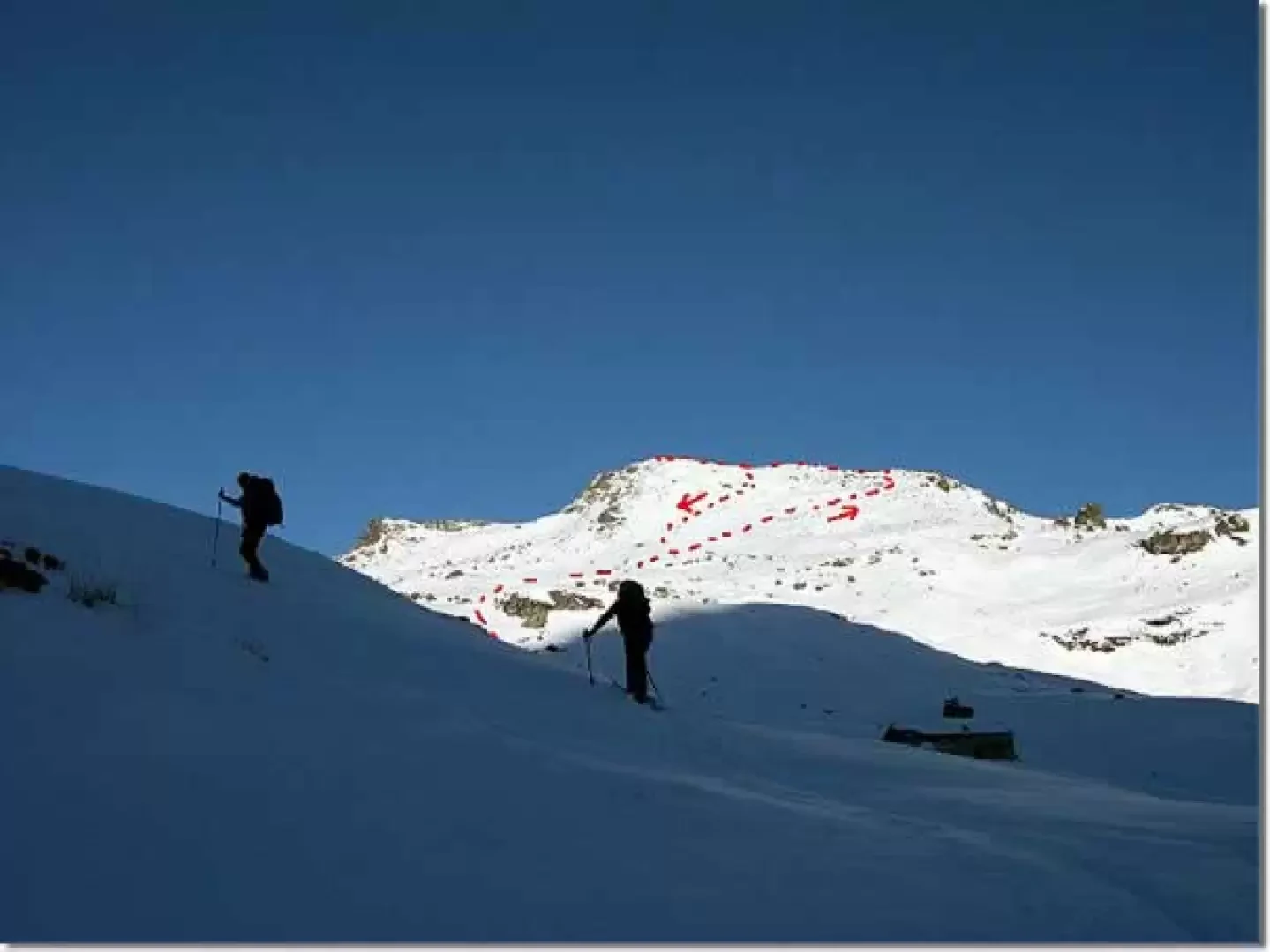
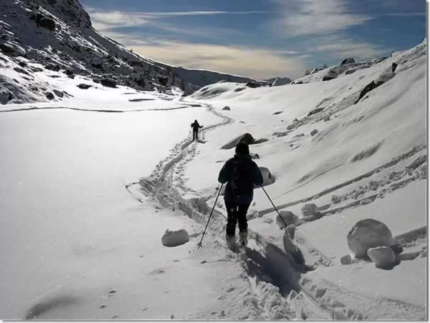
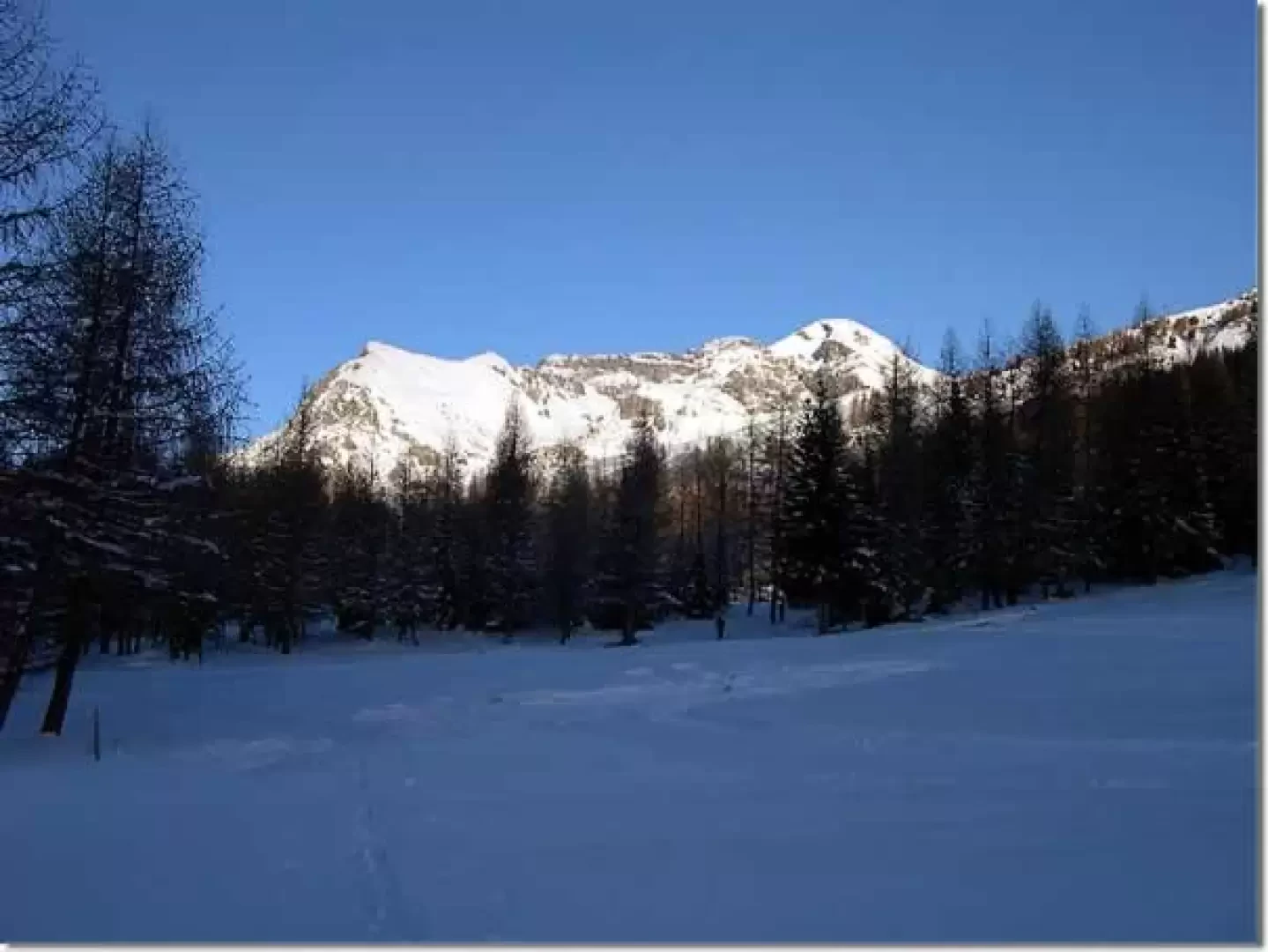
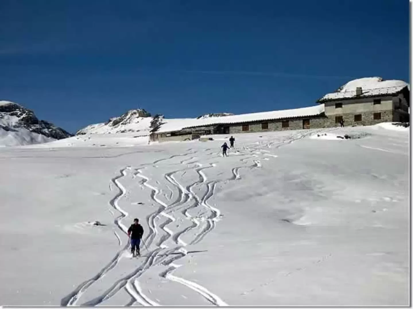
From the car park, follow the gentle slopes to the left until you reach the ski slope; follow it almost to the end and then cross to the left below the arrival of the ski lift until you reach the Palasina huts (2094 m). Continue halfway along the interponderial road until reaching a col. Continue along the road with a long mule track to the beginning of the wide Palasina basin. Cross the stream and ascend, following the interponderale road in places, to Alpe Palasina (2406 m). Continue moving slightly to the right to ascend the wide southern slope of the Punta Palasina. After the first section, it is convenient to keep to the right of the slope, and then, with a traverse, to the small col to the right of the peak from which it is easy to ascend on skis.
Photo gallery
Comments (0)
Sign in to leave a comment