Punta Fetita, from Challancin


Edited by:
Vivalaporchetta
Updated at: 19/07/2026
Access
Introduction
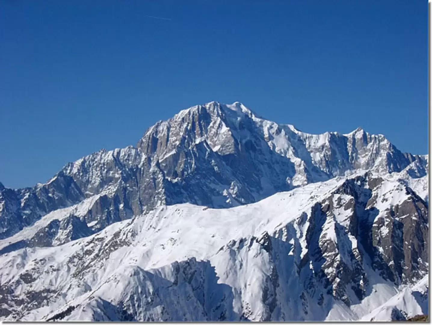
Beautiful winter ski mountaineering. Good slopes, easy but fairly satisfying. I recommend ascending via Col de Bard and enjoying the panoramic ridge and then descending via the beautiful valley of the Arpilles stream.
Description
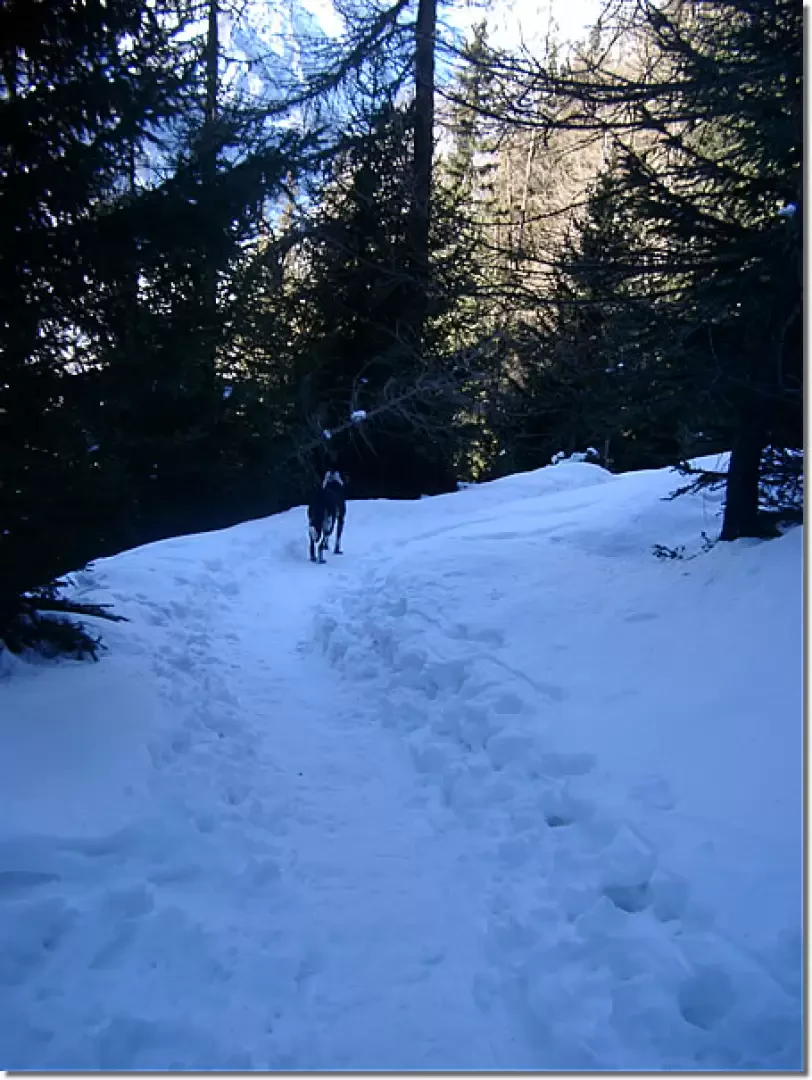
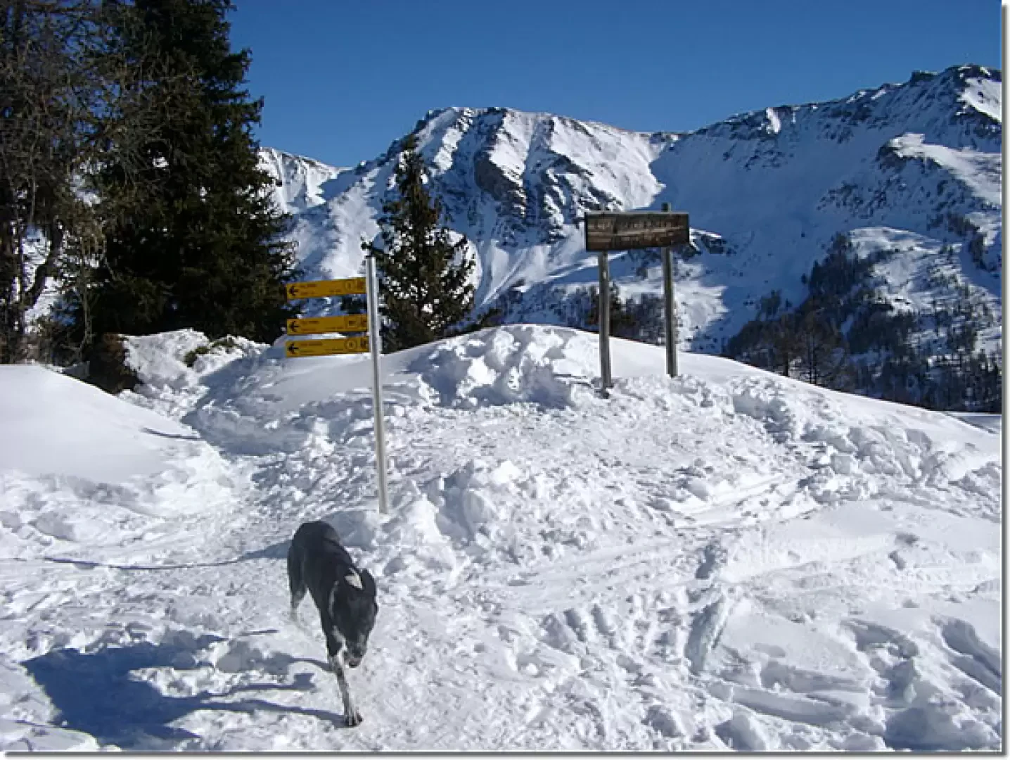
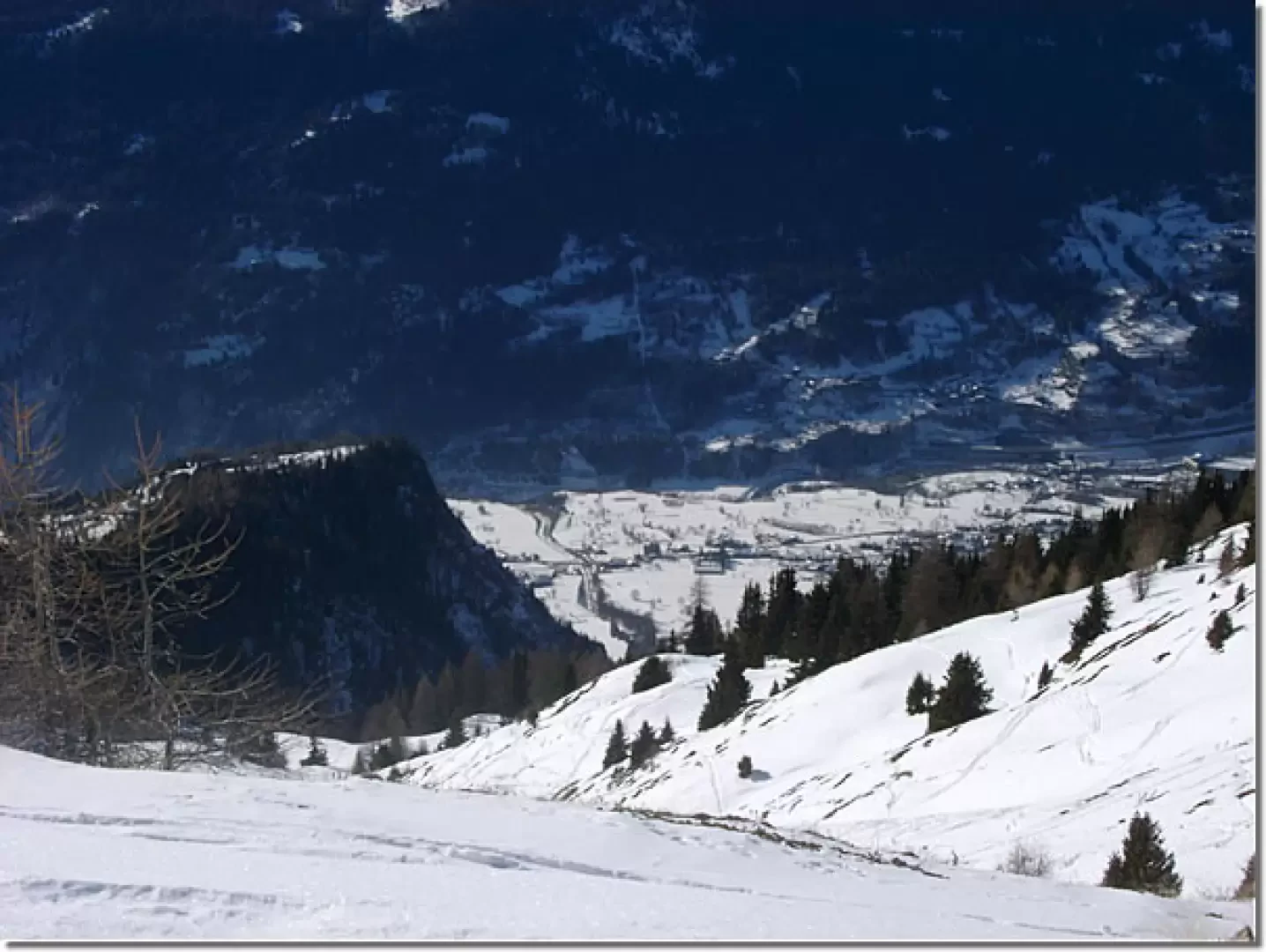
From Challancin (1621m), follow the dirt track that climbs up to the meadows above (in this first section you may go straight up over the meadows). At a fork in the road, go right and climb, still on a comfortable dirt track, to the Arpilles pastures (1862m). Continue in an easterly direction on a mule track through the evident woodland, pass a clearing (you will come downhill here), re-enter the woodland and follow the markings (2) along the mule track to the col de Bard (2176m). Now follow to the left (north) the evident ridge that climbs with moderate slopes and beautiful views towards the col Borromein (2315m). Continue along the wide ridge, cross a plateau (about 2500m) and, after a steeper slope, reach the summit. Descend to the plateau, cross the ridge at the best point and descend into the beautiful valley below to the clearing above Arpilles. From here, first descend along the dirt track and then across the meadows to Challancin.
Bibliography
- Alessandro Mezzavilla and David Pellissier, [[White Horizons Vol.1]]], Martini Multimedia Editore, Saint-Vincent, 2004
Cartography
- [[Mont Blanc, Courmayeur]], Map of trails sheet 1 1:25000, L'Escursionista Editore, Rimini, 2008
- Valdigne Mont-Blanc Les Sentiers 1:50000 - Comunità Montana Valdigne - Hapax - 2003
- IGC 1:25000 - Sheet 107
Photo gallery
Riferimenti Bibliografici
- Orizzonti Bianchi Vol.1 - Alessandro Mezzavilla e David Pellissier - Martini Multimedia Editore, Saint-Vincent, 2004
Photo gallery
Comments (0)
Sign in to leave a comment