Punta Aouillette


Edited by:
Vivalaporchetta
Updated at: 30/06/2026
Access
From the Aosta West exit, follow the signs for Courmayeur; after a few kilometres you will reach Saint-Pierre and turn right (near the castle) following the signs for Saint-Nicolas. Go up the regional road 22 to the main town of Saint-Nicolas, and after a few hundred metres turn left following the signs for Vens. After turning right, just above, continue for a few kilometres until you reach Vens.
.Introduction
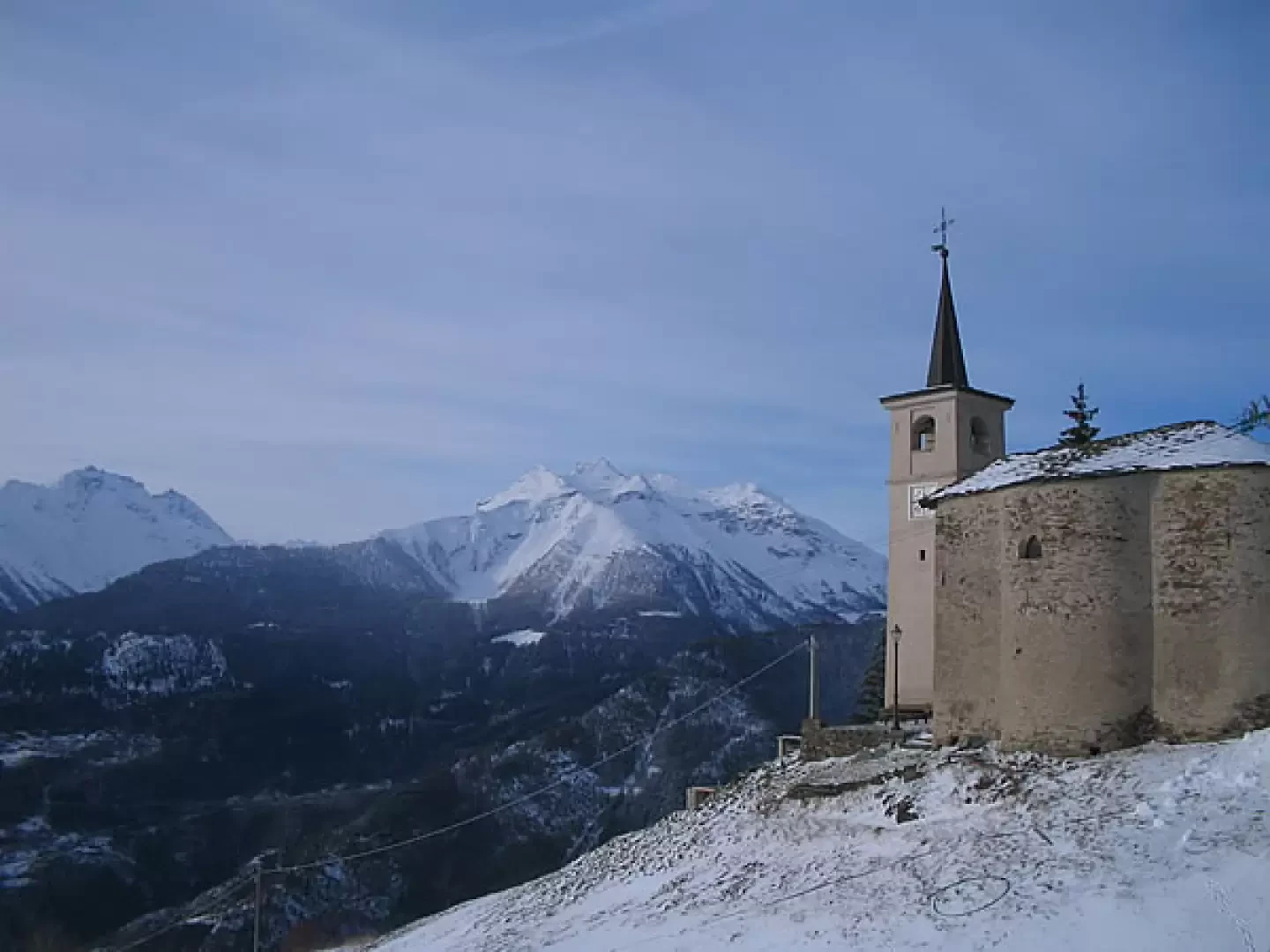
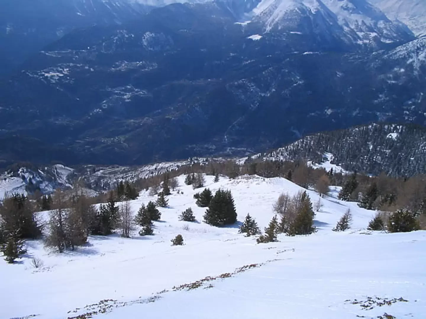
A little-known and little-travelled route, but interesting despite its brevity. The slope is always continuous and after a good snowfall becomes very beautiful. The summit is very scenic. The first part of the tour is in a beautiful forest and then on a beautiful ridge with many possible variations.
.Description
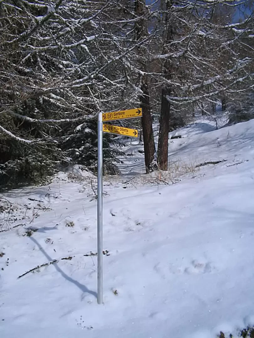
From Vens (1732m), climb along the old mule track to the small lake below the col du Mont-Joux (1894m). Alternatively, you can drive up here when the cross-country ski runs are open. From the pond, follow the direction of the pole and enter the forest. Paying attention to the signs , you climb up into the beautiful wood, which is never too dense, with no obligatory route. at around 2100m you come out of the wood and follow the beautiful crest, which with small bends and small breaks leads to the summit (2616.4m).
Riferimenti Bibliografici
- Conca di Aosta, Pila-Mont Emilius, Carta dei sentieri foglio 4, 1:25000 - - Escursionista Editore, 2008
Photo gallery
Comments (0)
Sign in to leave a comment