Mont Bieteron, from the car park at Fenillettaz


Edited by:
Sergio Enrico
Updated at: 01/06/2026
Access
Navigazione stradale
Lasciare l'autostrada al casello di Verrès. Alla rotatoria, prendere la seconda uscita e proseguire per 300m (0,3km), quindi svoltare a sinistra imboccando la in direzione Val d'Ayas. Percorrere la per 15,6km (15,9km), risalire il fondovalle e attraversare i borghi di Challand-Saint-Victor e Challand-Saint-Anselme, fino a raggiungere l'abitato di Brusson. Attraversare il paese e, poco prima del bivio per il Col de Joux, svoltare a destra seguendo le indicazioni per Estoul. Risalire la strada comunale per 6,5km (22,4km) fino al parcheggio di Fénillettaz, raggiungibile svoltando a sinistra nell'ultimo tratto.
Parcheggio
Al termine della salita si trova il parcheggio 🅿️ gratuito di Fénillettaz, punto di partenza dell'itinerario.
Accesso con mezzi pubblici
Per raggiungere il punto di partenza dell'itinerario è necessario un mezzo privato, poiché la località non è servita da trasporti pubblici.
Distanza e tempo di percorrenza
🕒 tempo di percorrenza: 36 minuti
📏 distanza: 22,5km
Navigazione GPS
Nota informativa
Le indicazioni fornite sono state verificate alla data del rilievo dell'itinerario. Prima della partenza si consiglia di verificare possibili variazioni del percorso o delle condizioni stradali. Per informazioni aggiornate si raccomanda di consultare Google Maps o Apple Maps.
Introduction
Short but very pleasant excursion.
Description
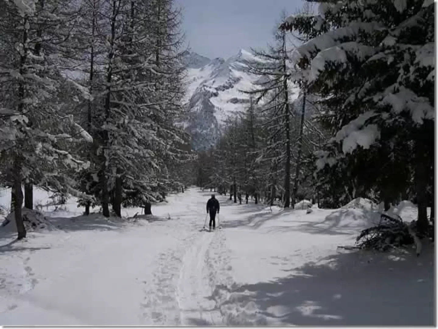
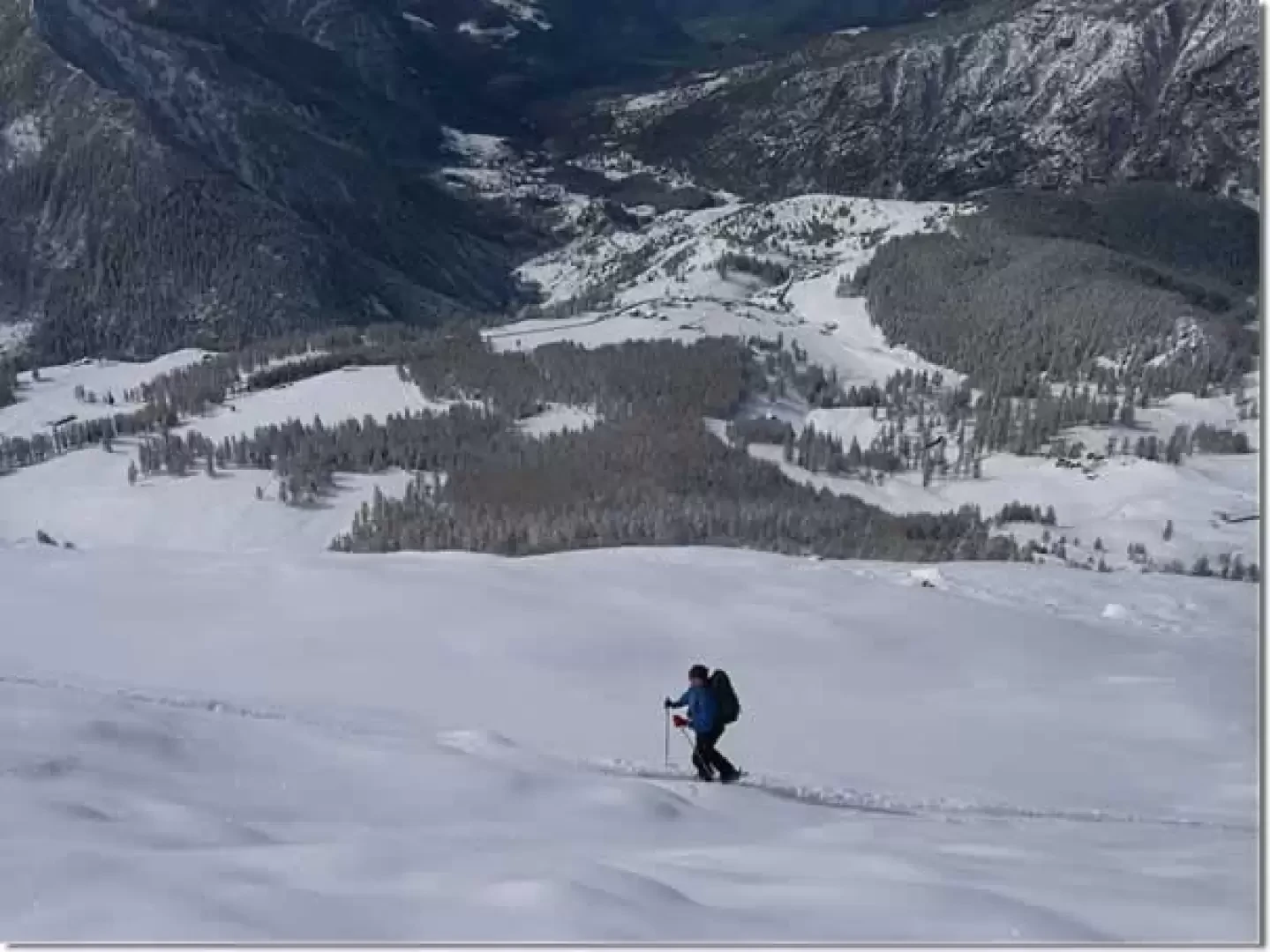
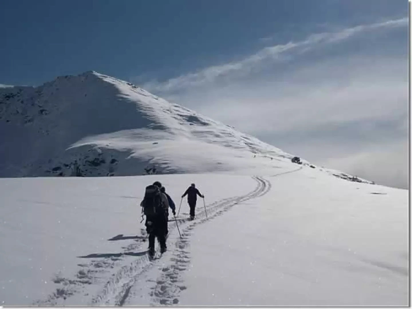
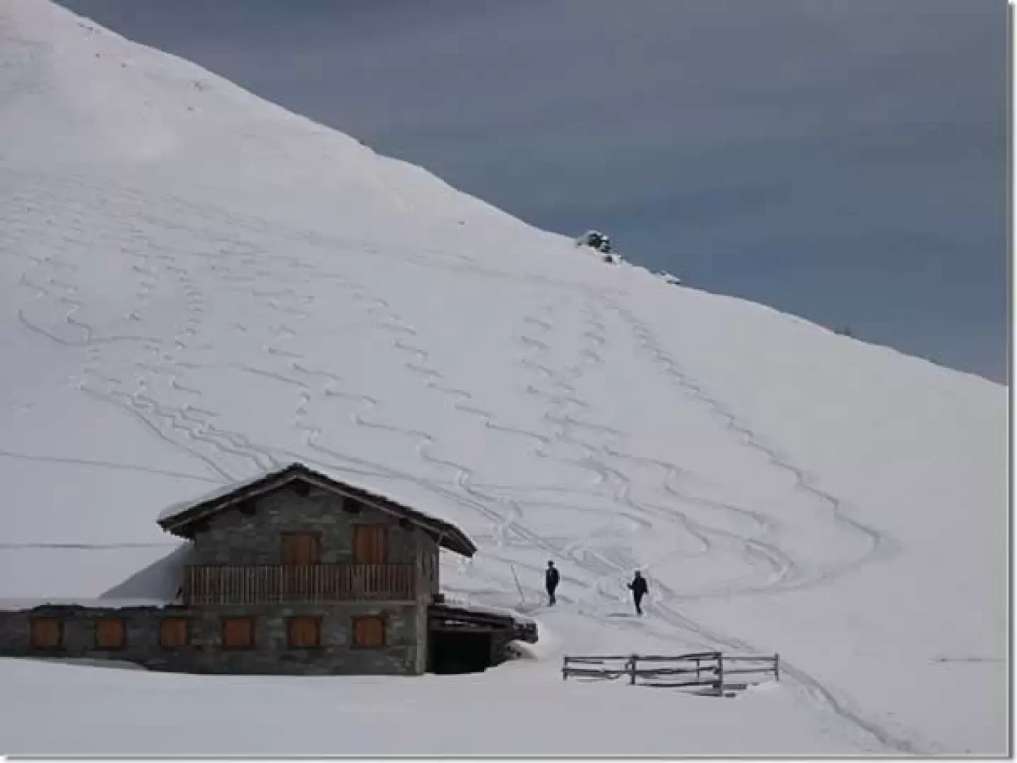
From the car park, follow the gentle slopes to the left until you reach the ski slope; follow it almost to the arrival point of the ski lift. Deviate to the right and climb up until you reach the arrival point of the chair lift with a traverse to the left. Continue along the wide ridge until reaching a large hut. From the hut, climb up the beautiful slopes, which, with a few steeper sections, lead to the antecima where you normally stop. If you wish, you can follow the rocky ridge for a stretch with skis on your back and then climb the last steep slope to the summit.
.Photo gallery
Comments (0)
Sign in to leave a comment