Les Vans, from Alpe Baou


Edited by:
Sergio Enrico
Updated at: 07/07/2025
Access
Leaving the motorway at the Aosta Est toll booth, turn right and take the dual carriageway to follow for 8.4 kilometres. At Signayes continue straight on the state road, passing the villages of Gignod, Etroubles and Saint-Oyen until you reach, after 24.5 kilometres, the junction for the Colle del Gran San Bernardo. Turn right and drive up the road for a further 12.6 kilometres before reaching the Baou alpine pasture and its parking area 🅿️ free of charge. The car park is dedicated to customers of the refreshment point and is usually very crowded: it is advisable to arrive early so as not to have to find parking on the pass.
[0h43'] - [37.10km]
How to get there with GMaps
How to get there with Apple Maps
The information provided here was verified at the time the route was surveyed. Before setting off, it is advisable to ensure that no substantial changes have occurred on the route to the starting point. We therefore recommend the use of the satellite navigation apps provided by Google or Apple for up-to-date and detailed directions.
Introduction
Tour to be done in June when the pass road is open. Short trip but very varied both in terms of exposure and itinerary.
.Description
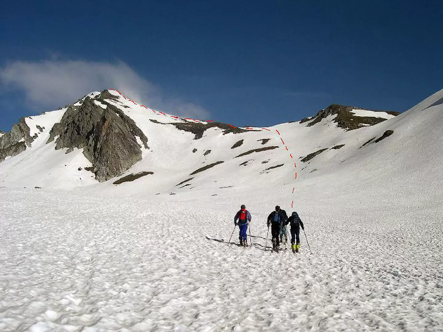
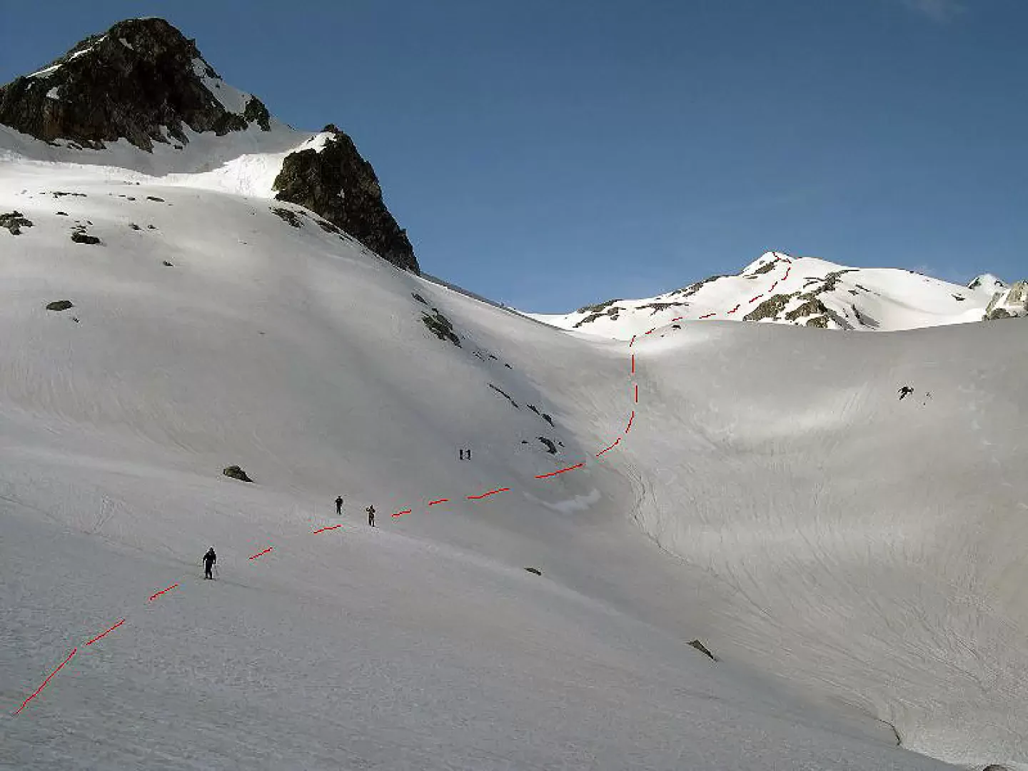
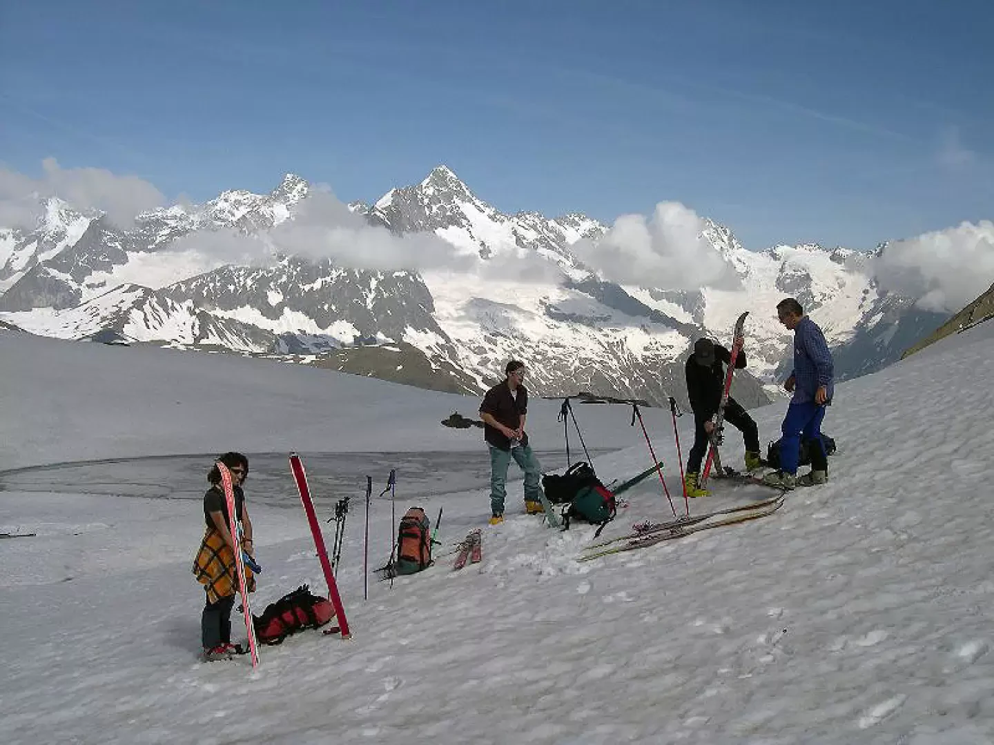
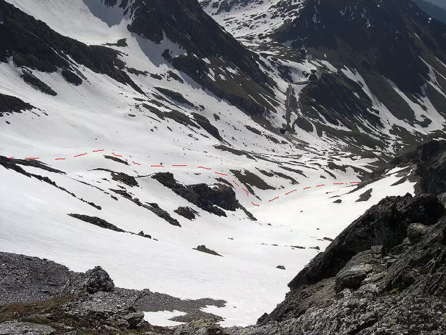
Follow the little valley of the torrent until you come to a large basin. Leave the Fourchon route to the left and climb the beautiful slopes to the left of Col Fenêtre. You will easily reach the wide ridge from where the view of the Mont Blanc chain is splendid. Follow the final ridge to the left which, with a steep section, leads to the summit. Go back along the ridge for a stretch and then descend on the Swiss side along beautiful slopes to the basin of the lakes. Put your skins back on and return to Italy by climbing up the beautiful valley that leads to the Fonteinte pass (calculate 30 - 40' ascent). From the pass, ascend a first slope to the right and then cross to the left to reach a small basin and, with a few metres on rocks, the rocky point. On the descent from the pass keep to the right along beautiful slopes, a steeper section and then cross to the left and descend the wide valley back to the car.
Photo gallery
Comments (0)
Sign in to leave a comment