Col du Tour Noir

Introduction
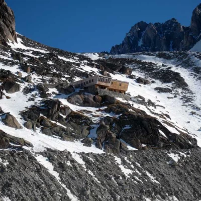
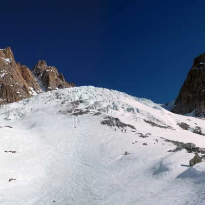
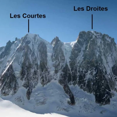
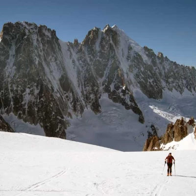
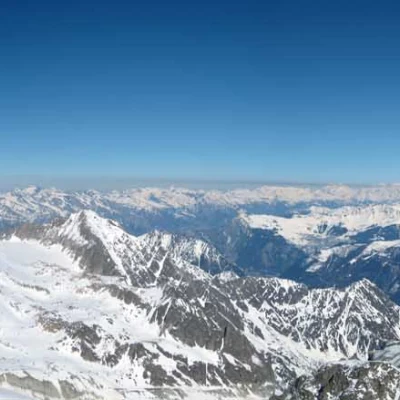
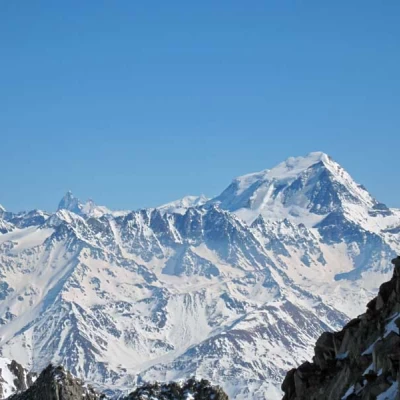
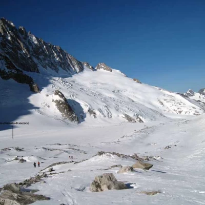
This ascent is characterised by both a normal altitude gain and an exciting descent of more than 2300 m of elevation gain; the excursion takes place in grandiose high mountain environments in the Chamonix area, first on the vast Argentiere glacier and then on one of its branches, the Amethystes glacier, passing through the sequence of the most challenging north faces in the area: Aiguille du Triolet, les Courtes, les Droites and Aiguille Verte; the slopes are never excessive but, on the way up, attention must be paid to possible crevasses and ice blocks both on the steep descent from the abandonment of the ski slope to the bottom of the glacier and on the upper part of the itinerary near the seracades. The terminal to the pass is usually well accessible and once the summit is reached, the panorama becomes even more exceptional, extending into Swiss territory with unusual perspectives on the Grand Combin, Crevino and the numerous 4000-metre peaks of Zermatt. For the ascent, knives can be useful on the slopes adjacent to the two seracades, while for the return trip, great care must be taken on the lower part of the Argentiere glacier, where crossing the seracades requires a good ability to assess the passages, which are in any case narrow. A useful piece of information may be that on the d'Argentiere glacier, below the north face of the Aiguille Verte, there is a rescue call post powered by solar panels that is clearly visible due to the small pylon on which they are mounted, which is operational during the winter period when the hut is closed.
Description
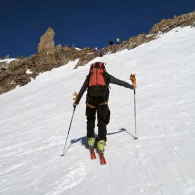
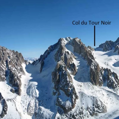
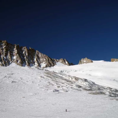
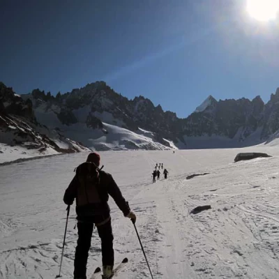
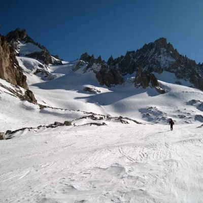
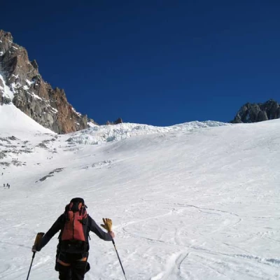
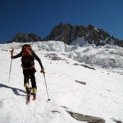
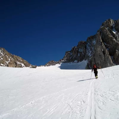
From the arrival of the cable car, go down the steps that lead to the beginning of the slope and, on this, descend for a short stretch to then abandon it just below the seracs visible on the right; after leaving the slope, continue the descent again, keeping mainly to the right and, paying attention to any open crevasses, you must in any case lose about 600/700 metres of height difference to reach the flat part of the bottom of the Argentiere glacier. From here, begin the ascent of the gently sloping slope that enters the long glacial basin in an almost straight line, passing below the Argentiere hut; after passing it, move to the left in the direction of a low moraine that emerges on the left. Passing between any outcrops of rock, head towards the lower serac of the Amethystes glacier, which you cross from right to left; after passing this, go up a slope that leads to an upper plateau with another serac, a little wider than the previous one, which you approach by staying to the left; after passing this too, again to the left, with a few conversions on somewhat steep slopes, you reach the final plateau, where the pass, the destination of this excursion, can be seen at the top. Remaining in the centre of the glacier, you reach the base of the final slope that leads to the pass, which can be reached by making a few hairpin bends and, if necessary, leaving your skis on a few metres below the watershed line, you can reach it on foot on easy rocks. On the descent, return to the point from which you began the ascent of the Argentiere glacier and continue, staying to the left, on slightly sloping terrain until you reach a small series of seracs that you pass, always staying close to the left slope. After this section, continue along a slightly sloping slope until you reach another area of crevasses and seracs, which you pass at first remaining as far to the left as possible and then traverse to the right, crossing a few crevasses and arriving, out of difficulty, at the start of a wide slope. The descent continues always remaining on the traverse that is on the left of the side of the mountain and, having passed a slightly exposed section towards a steep slope to the right, it contours a marked rib arriving in the vicinity of the ski slopes that you soon reach and, following them, return to the cableway departure station.
.