Col d'Entrèves


Edited by:
Vivalaporchetta
Updated at: 22/09/2024
Introduction
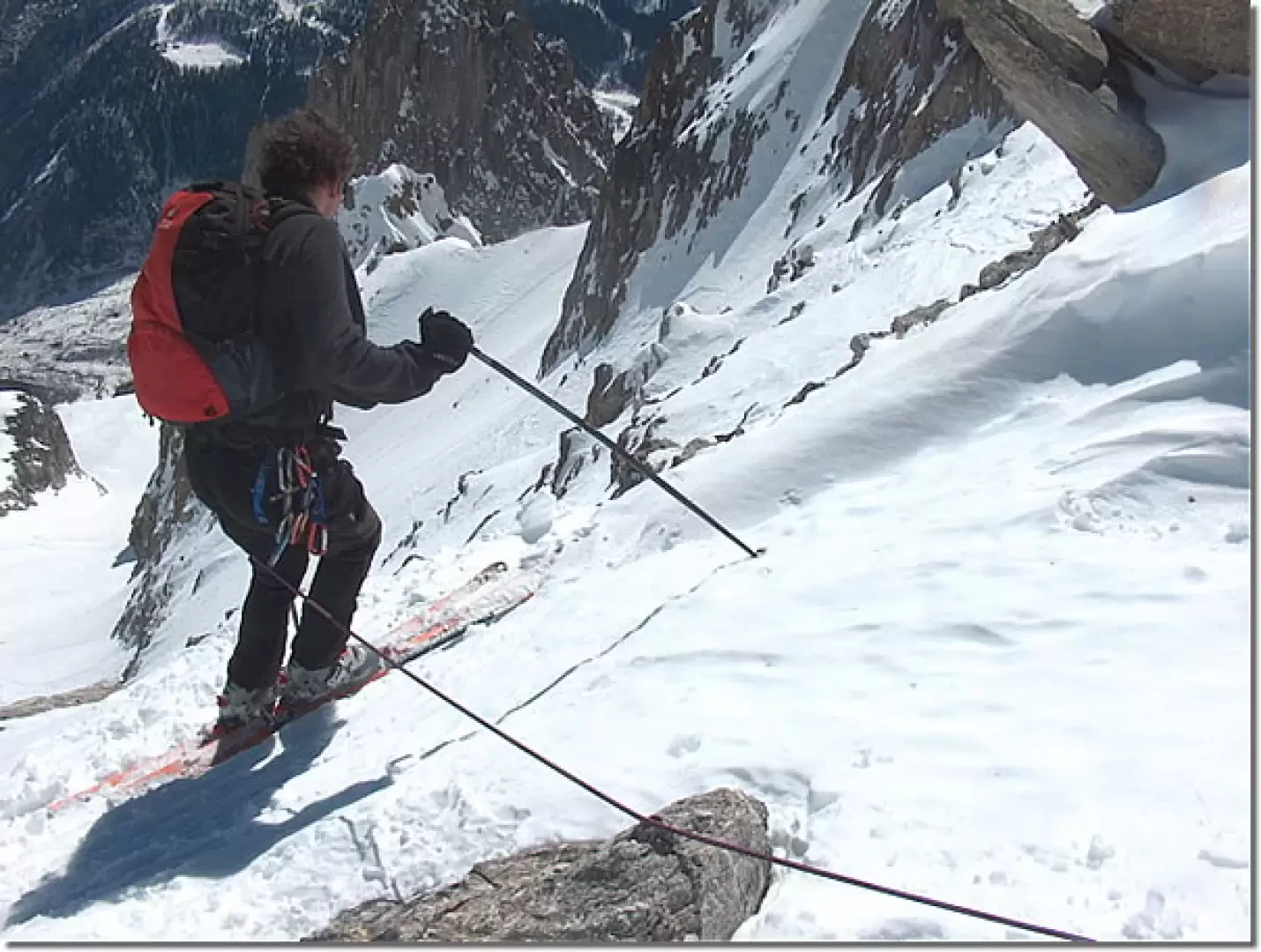
Beautiful steep skiing descent (diff. 4.1, AD, 250 m 40°). The approach is undemanding, scenically very beautiful, in the heart of Mont Blanc. The first part of the descent is difficult (a rope may be useful in the first few metres). In winter-early spring, it is possible to reach the tunnel with more than 2000 m of descent.
Description
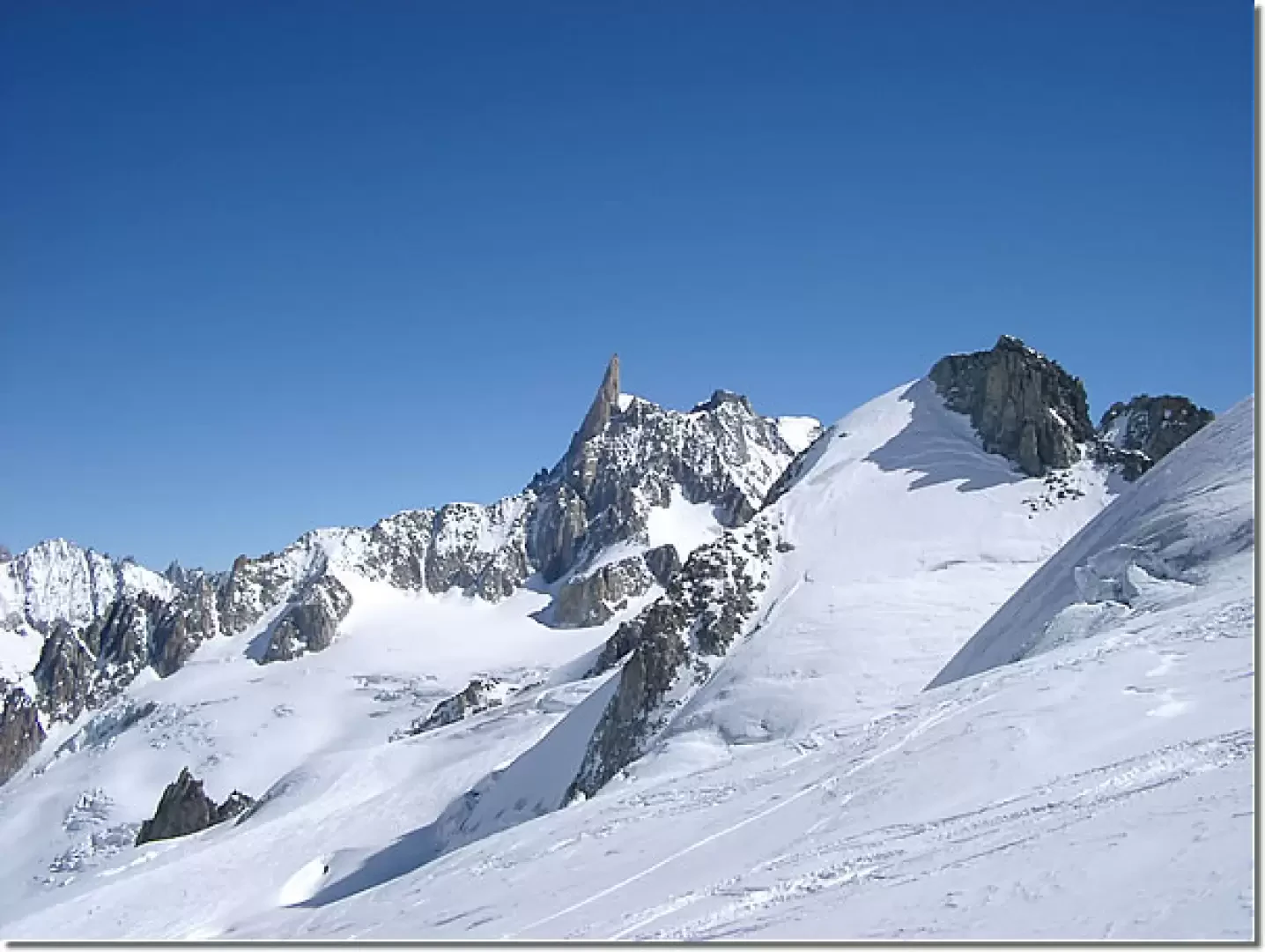
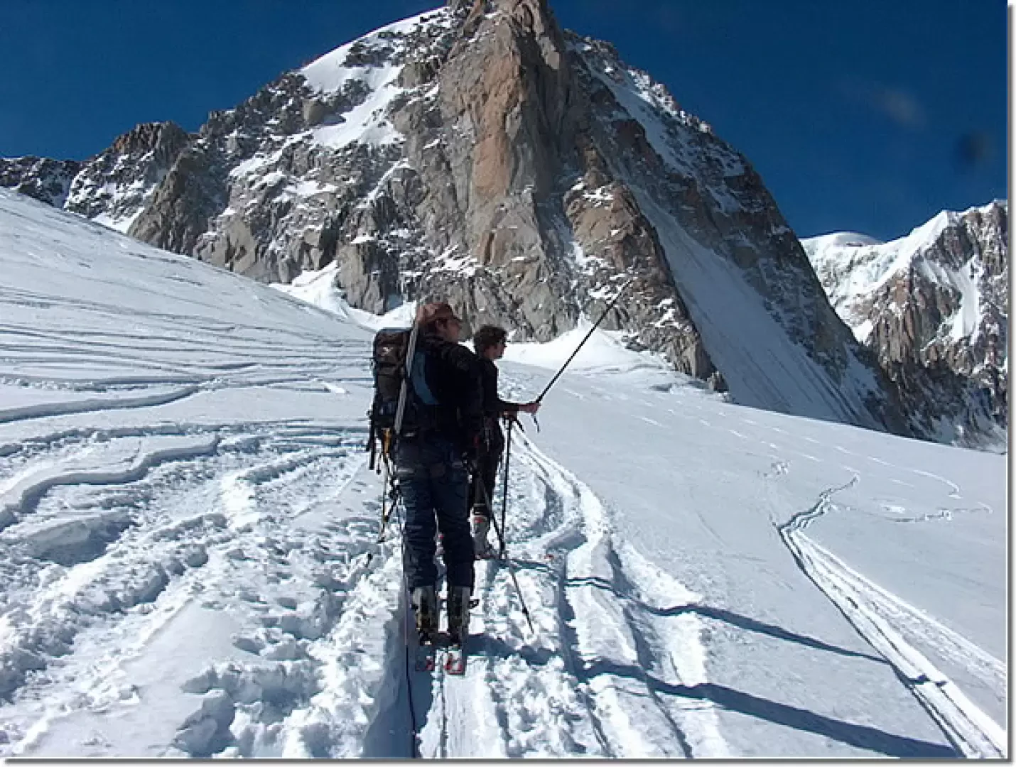
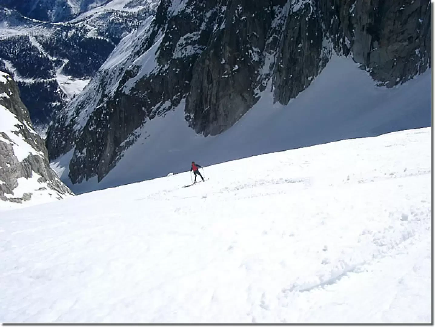
From the cable car station (3462 m), head out via the stairs until you set foot on the glacier. Pass the nearby col Flambeaux (3430 m), below the cable car's suspended pylon, and descend to the left, following the numerous tracks of the classic Vallée Blanche. At the first plateau (about 3300 m), turn left, pass below the north face of the Aiguille de Toula, head towards the Tour Ronde and climb up the gently sloping slope to a plateau and the nearby col d'Entreves (3517 m). Descend the other side, conquering the large cornice (if necessary, you can climb to a nearby rocky spur and start from there), and try to go to the right, between rocky outcrops (avalanche!), to take a nice gully that leads to the slopes of the Entreves glacier (about 3300 m). With great skiing (watch out for a few crevasses), you arrive at the base of the gully occupied by the glacier (about 2600 m). You then traverse to the left, keeping as high as possible, to take the tracks coming out of the Toula glacier. Continue the traverse under the spur of the Torino refuge (avalanche!) until reaching the Pavillon cable car station (2174 m). Wanting to descend to the tunnel, take the wider gully to the right of the avalanche barriers, which with a nice descent leads to the little road (about 1700 m) that leads to the Prou houses on the right. With a wide loop, you reach a plateau below the Brenva and on moderate slopes a small road that leads to the state road above Entreves (approx. 1350 m). Author
- Consults all the ski-mountaineering reports of Andrea Sappino
- Consults the page of [[Andrea Sappino]]
Bibliography
- Alessandro Mezzavilla and David Pellissier, [[Orizzonti Bianchi Vol.1]]], Martini Multimedia Editore, Saint-Vincent, 2004
Cartography
- [[Mont Blanc, Courmayeur]], Map of trails sheet 1 1:25000, L'Escursionista Editore, Rimini, 2008
Photo gallery
Photo gallery
Comments (0)
Sign in to leave a comment