Punta Dufour, Rey Ridge


Edited by:
Giancarlo Beretta
Updated at: 19/07/2026
Access
From Varallo Sesia (VC), take the SS299 to Alagna Valsesia (36 km), where you take the cable car to Punta Indren.
Introduction
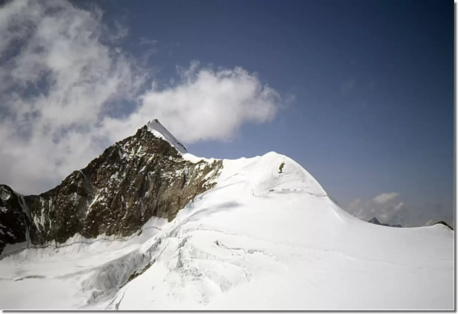
The Punta Dufour is the highest elevation of the Monte Rosa group and is located in Swiss territory. The broad south-western slope of the Punta Dufour is characterised almost in the middle by a prominent rock rib, the Cresta Rey, which offers interesting climbing on steep but solid rock. On the first day, having taken a place in the ever-crowded Giordano bivouac, it is a good idea to reach the nearby Colle del Lys to see the glacier itinerary for the following day in the dark: from the col to the start of the route we will no longer find the well-marked track that has accompanied us so far.
.Description
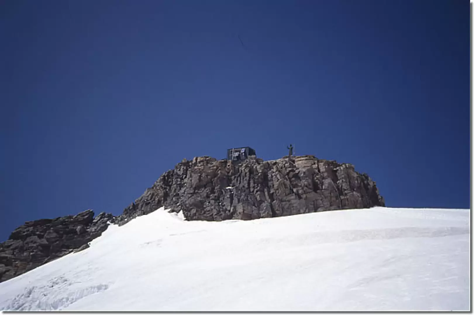
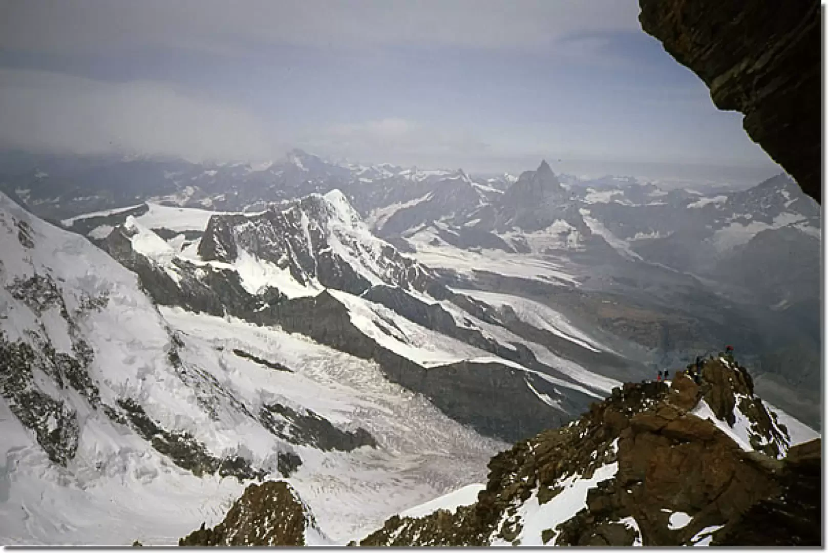
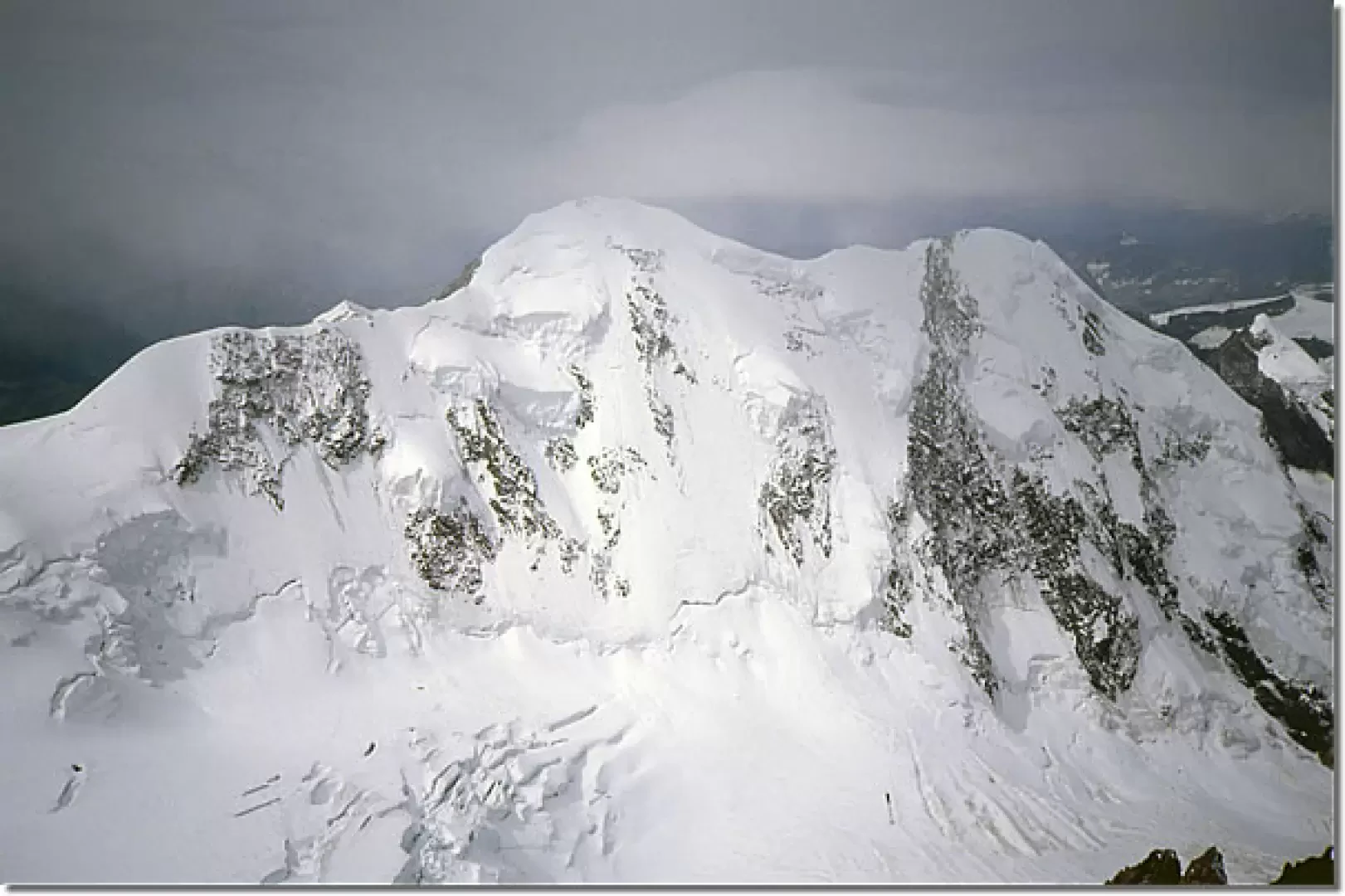
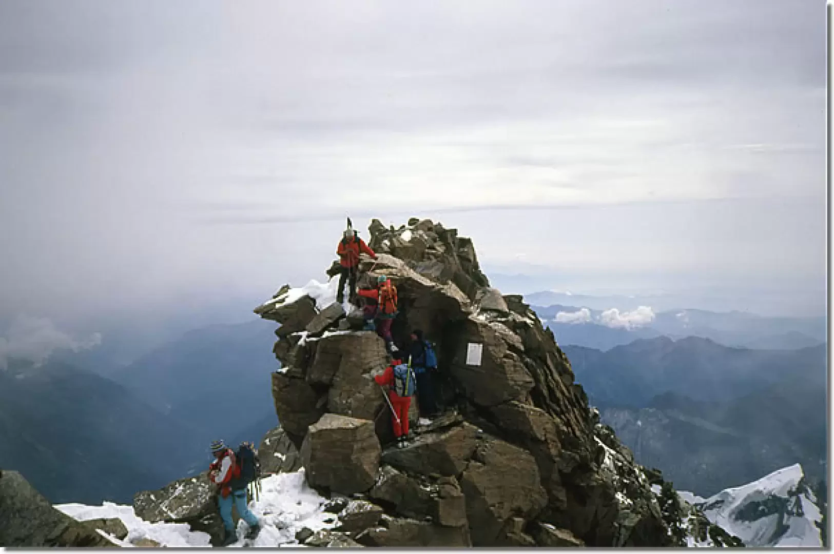
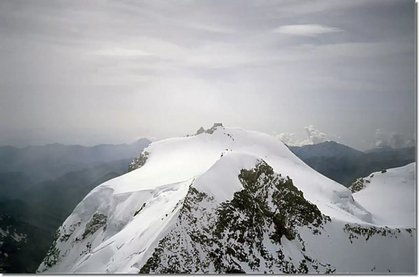
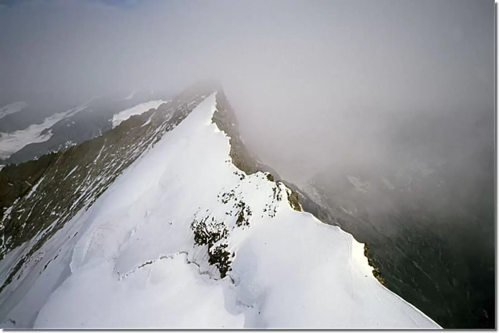
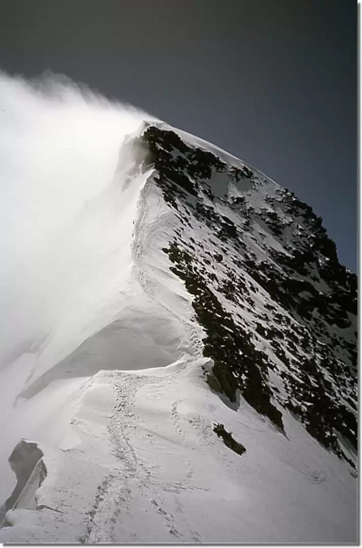
1st day From the cable car station, along tracks that are always clear, we cross the Indren Glacier and climb, with the help of fixed ropes, the "roccette Casati" from which we exit onto the Garstelet Glacier and reach the clearly visible Gnifetti Hut. From here, the route leads onto the Lys glacier, which at first appears flat and furrowed by numerous crevasses. Continue northwards on easy snowy slopes, skirting the Vincent Pyramid and the Corno Nero. From this point, from where you can admire the east ridge of the Lyskamm, follow the tracks heading right towards the Vincent pass and, before reaching the pass, head left towards an evident rocky islet, the Balmenhorn, on which the [[Bivacco Giordano]] (4167m) is located, dominated from above by the imposing statue of the Cristo delle Vette. Day 2 From the bivouac, we reach the wide crest of the Colle del Lys (4248m) and descend down the Grenzgletscher to an altitude of around 4050m. Having doubled the south-west ridge of the Zumstein peak, we reach the base (at an altitude of around 4200m) of the ridge that, at first not very pronounced but then becoming more and more articulated, descends directly from the summit with a leap of over 400m. Once the final crevasse and the initial icy slope have been overcome without too much difficulty, the ridge is attacked along solid and articulated rocks: the not very demanding climb allows you to enjoy the stupendous panorama to the north (the Briethorns and the Matterhorn) and to the west (the stupendous north face of the Lyskamm). The magnificent panorama that offers itself to our eyes allows us to see to the south the Capanna Margherita and the Punta Zumstein and to the east, beyond the Sella d'Argento, the Punta Nordend. Descent From the summit, without any particular difficulty (unless you find plenty of glass), walk along the south-east ridge in the direction of the Zumstein pass and from there continue along the ridge up to the Zumstein peak (4561m). From the summit, descend to the Grenzgletscher, then head towards the obvious Colle del Lys pass, where you rejoin the ascent route, which you follow in the opposite direction.
Photo gallery
Comments (0)
Sign in to leave a comment