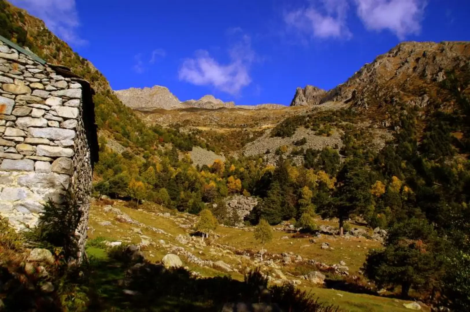
Colino Horn

Access
From Milan to Morbegno along state roads 36 and 38; at the traffic lights at the entrance to the town, turn left towards "Costiera dei Cech". After crossing the bridge over the Adda, continue right along the provincial road "dei Cech orientale": passing through the villages of Dazio, Vallate, Serone, Chempo and Roncaglia in this order, you will reach the end of the road at Poira. Park in the large forecourt of the small church of the alpini.
Introduction
Beautiful excursion of a difficulty - at the peak - slightly higher than that of normal hiking. The destination is a peak little frequented by non-locals, but clearly visible from the entire lower Valtellina: it is distinguishable from the entrance to the valley and dominates the landscape as far as the Sondrio bottleneck. Naturally, the panorama encompasses the entire area indicated, with particular 'presence' of the Orobic chain.
.Description
From the square in front of the little church of Poira (1077m), take the forest track that begins next to the improbable football pitch; ignoring the secondary detours inside the pine forest, you arrive at the clearing of Carecc (1153m), which you climb up on a cemented road for the steepest line. Continuing along the forest track, back into the pine forest, with various changes of direction, we arrive at Ledin (1232m), a small alpine pastureland that is now also home to an agritourism. [Up to here also by car, but with great caution and very little parking facilities]. Towards the mountain and near a spring with a drinking trough, the path begins in the wood to be followed to the Maggengo del Pesc (1613 m): the track climbs the pine forest with regularity, alternating wide traverses with stony stretches - ancient landslides - now steepened (about halfway along the route, it intercepts and crosses a firebreak track at about 1350 m). Past the few huts of the Pesc, the path becomes less evident, leading towards the centre of the Val Toate: several cairns of stones lead to where the pines - centuries old - become more sparse. The trail zigzags its way up the pastureland slope until it reaches the Baita Colino 1937m; similarly, it continues - still in the centre of the valley - until it reaches the vicinity of an unnamed hut at about (2300m).
If it is difficult to find the very old painted signs, it is best to climb up as best you can near the water pipe that supplies all the drinking troughs in the area.
From the Baitello, on the level, head eastwards in the direction of the very steep grassy gully between Torre Bering approx. 2500m (NW) and Corno del Colino (SE), both clearly visible from Pesc. Carefully ascend the gully until you reach the summit vent (neither listed nor named in an area that is generally very poorly mapped). Continue along the NW ridge of the Corno del Colino: this is an accumulation of stacked blocks and boulders, sometimes of plurimetrical dimensions (climbing pitches up to the II°), which also make up the broad summit (2504m).
It is not very advisable to be tempted by the crossing under the crest line of the northern slope, which is actually less tiring: it would be necessary to cross the detachment niche of an active and really very dangerous landslide.
Return by the outward route.
Type of route: a/r
Mountaineering Grade: II
Recommended period: June, July, August, September, October
Sun exposure: south
Objective hazard: instability of the ridge boulders. Be careful during hunting season
Exposed sections: the gully, sections of the summit ridge