Testa del Rutor, from the Deffeyes Refuge


Edited by:
Rita Tarussello
Updated at: 11/11/2025
Introduction
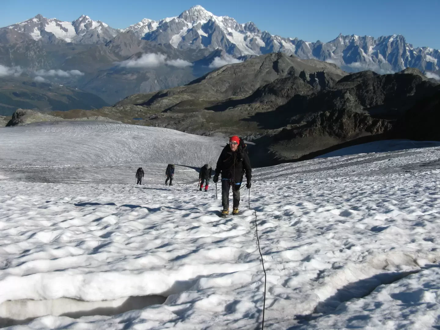
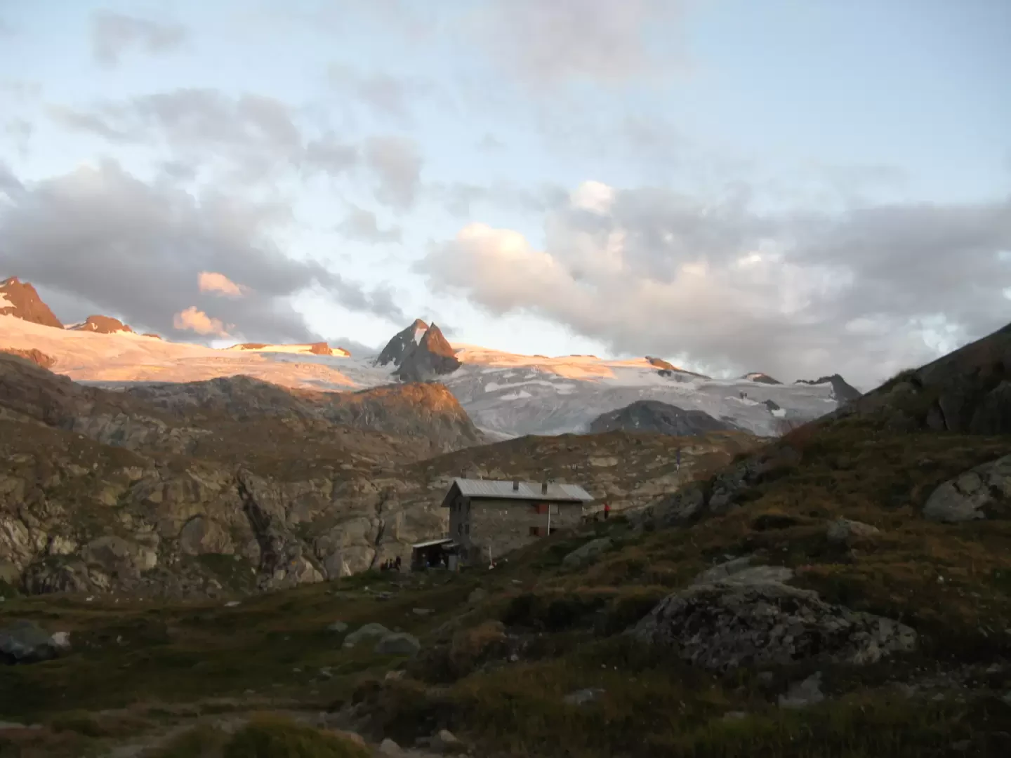
The Testa del Rutor, located between the La Thuile valley and Valgrisenche, rises rocky on the glacier of the same name. It is 3486 m high and has the flat appearance of an innocuous plateau. The hike is done early in the morning, starting in the dark from the Deffeyes refuge so that you will be facing the first seracs when it gets light.
Description
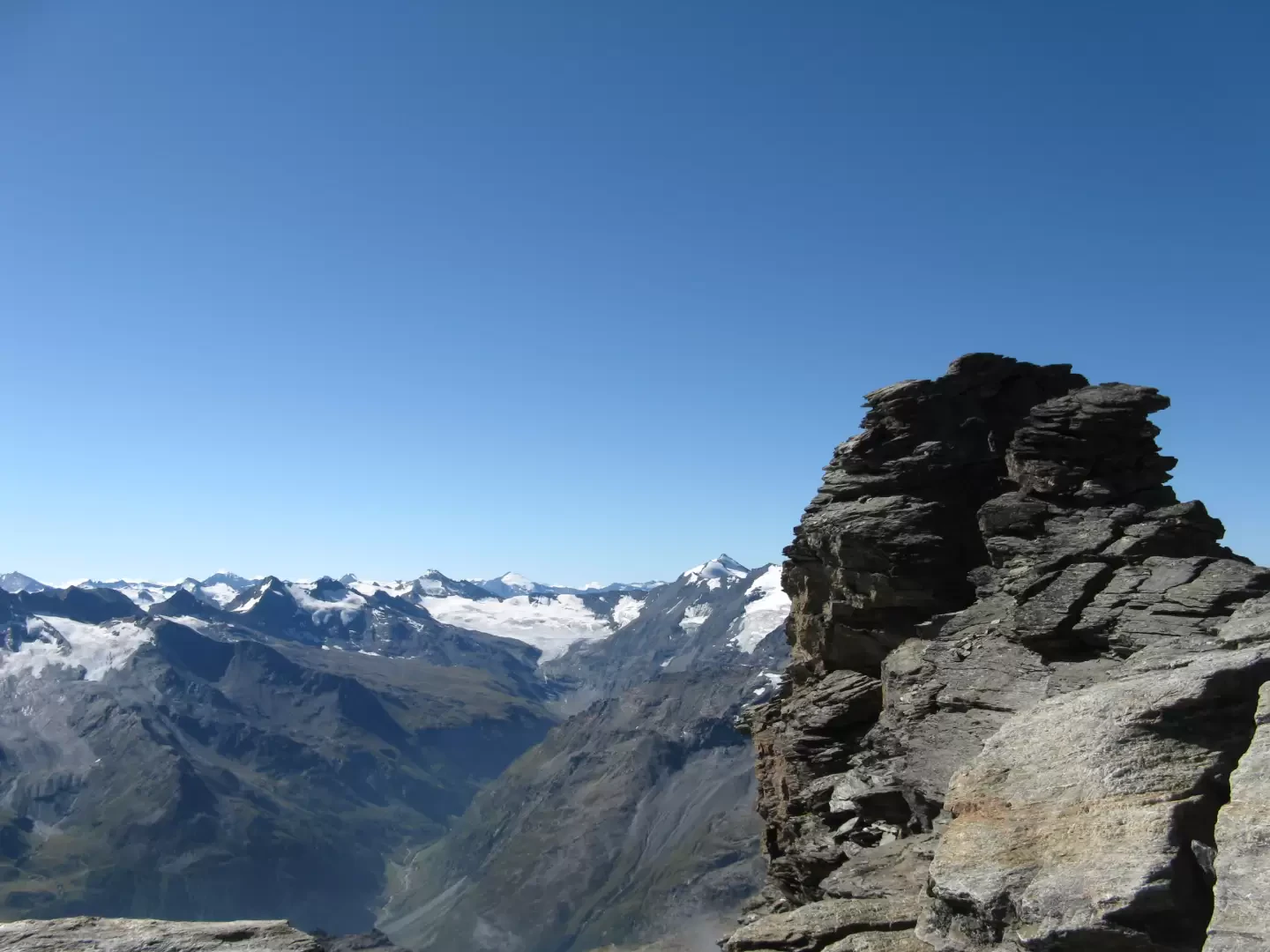
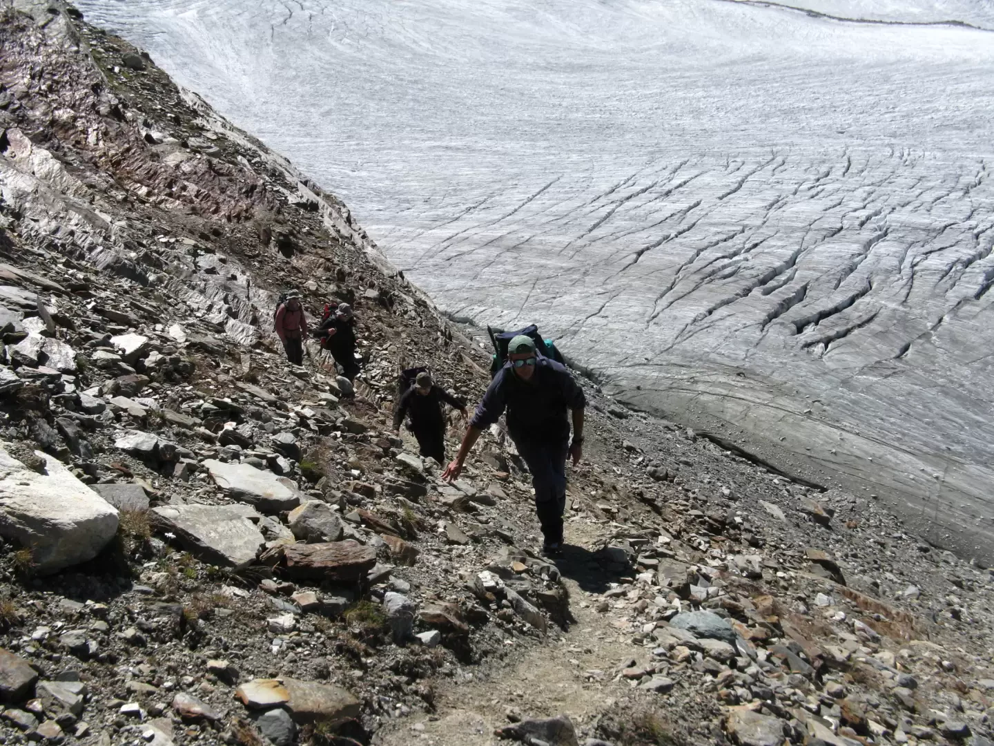
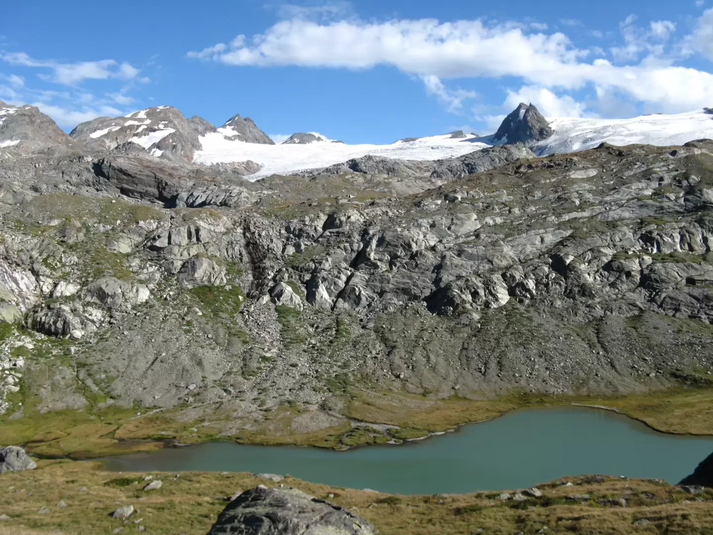
From the Deffeyes hut, take path no. 16 in a south-easterly direction to the Planaval pass (formerly high route no. 2). You cross in a semicircular direction an area with some beautiful lakes between meadows and rocks. Continue in a southerly direction over increasingly rocky and detrital terrain with cairns indicating the direction. Cross an exposed ledge facilitated by chains and finally reach a plateau where the arrows pointing to the Panaval pass reappear. Instead, continue straight ahead in a flat southerly direction towards a rocky ridge that is crossed. Then descend on scree, taking care to find the cairns, to the foot of the Flambeau. Wearing crampons, climb up the crevasse, going around the numerous crevasses now to the right and now to the left. You quickly reach a plateau, keeping to the base of the Flambeau ridge and the other ridges that crown the glacier. This leads to the Rutor pass. You can now either ascend the south ridge, or keep below it and walk the steep traverse that leads to the tongue of snow below the peak. You thus reach the terminal rocks up to the Madonnina and the summit.
.Photo gallery
Comments (0)
Sign in to leave a comment