Pansera Bivouac, from Campo Moro


Edited by:
Marco Bonati
Updated at: 10/05/2026
Access
From Milan to Sondrio along State roads 36 and 38. From the main town, at the first roundabout with fountain, take the Valmalenco provincial road on the left and follow it all the way through the villages of Torre Santa Maria, Chiesa, Lanzada and Campo Franscia. Continue straight on towards the ENEL dams of Campo Moro and Gera. Park in the lay-by at the first reservoir.
Introduction
Great access trip to the highest peaks of the Rhaetian Alps. The route is 40% on fairly quiet glaciers, only the last slope in view of the bivouac can be slightly tricky in late season. It is also advisable to keep a safe distance from the walls in warm weather, as the rock quality on these mountains is not excellent. To be avoided in case of poor visibility. Feasible and profitable, but tiring, with skis.
.Description
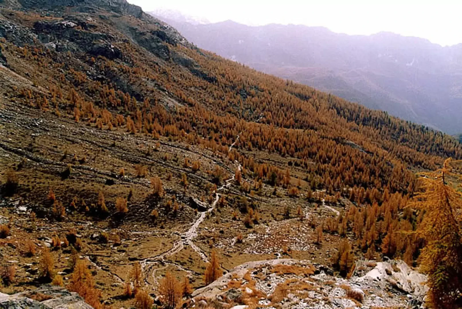
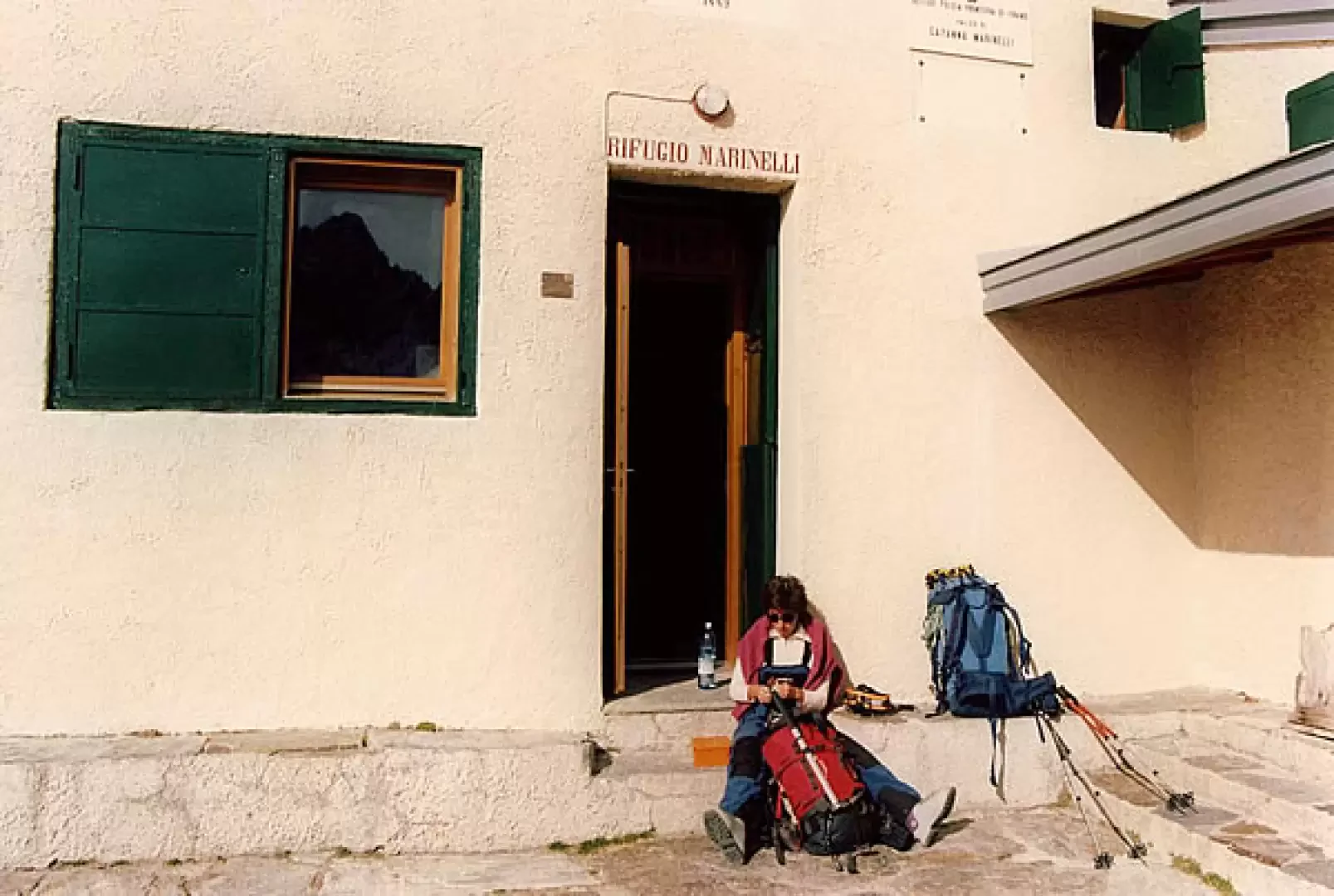
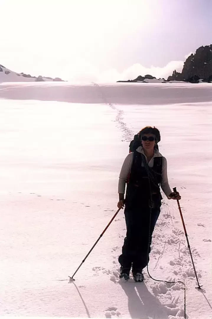
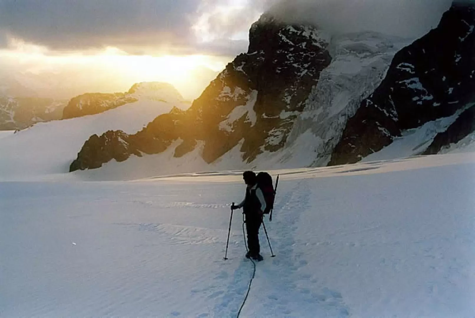
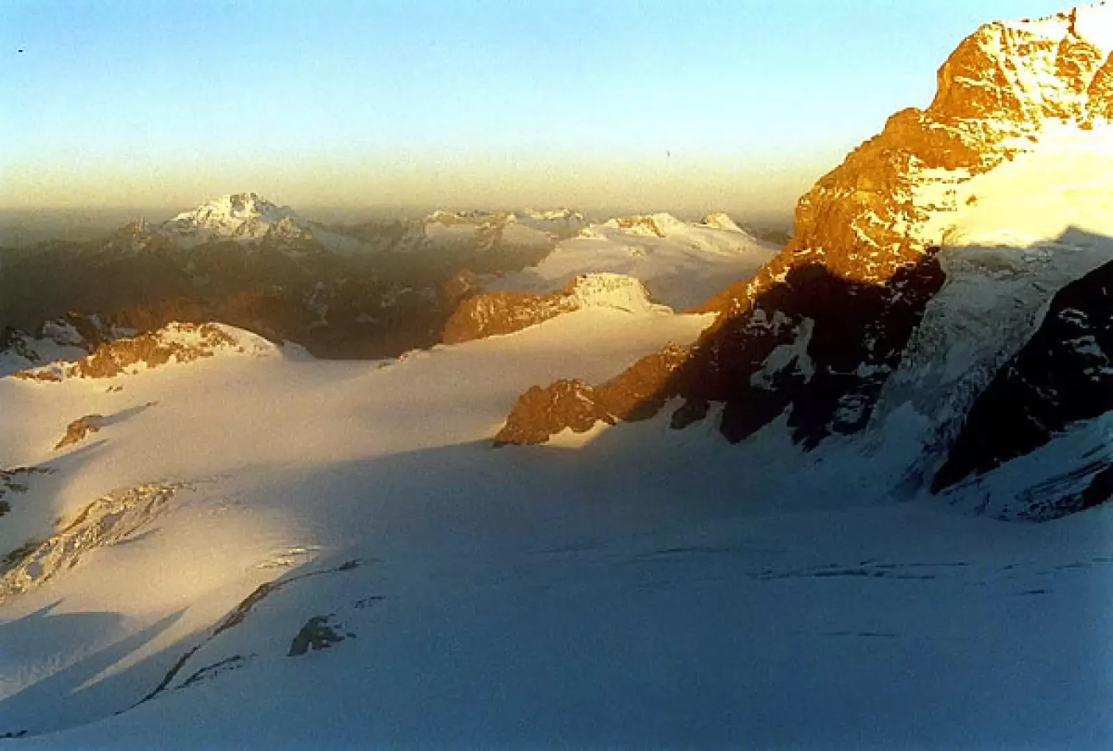
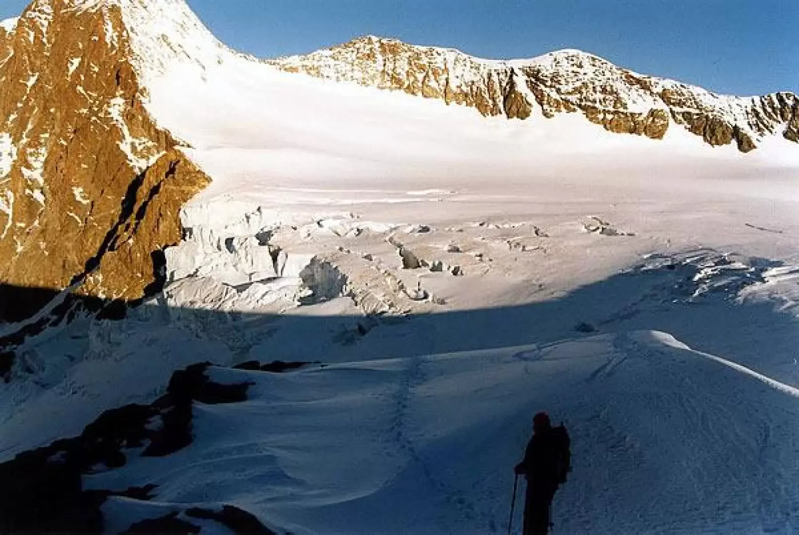
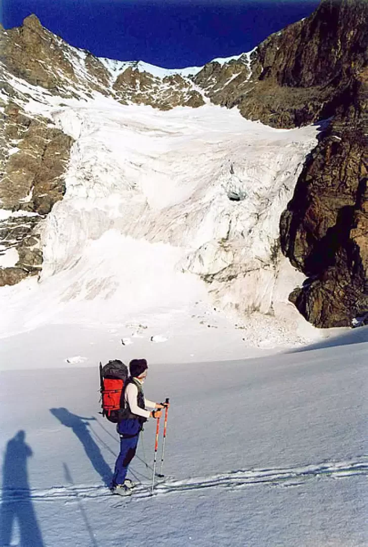
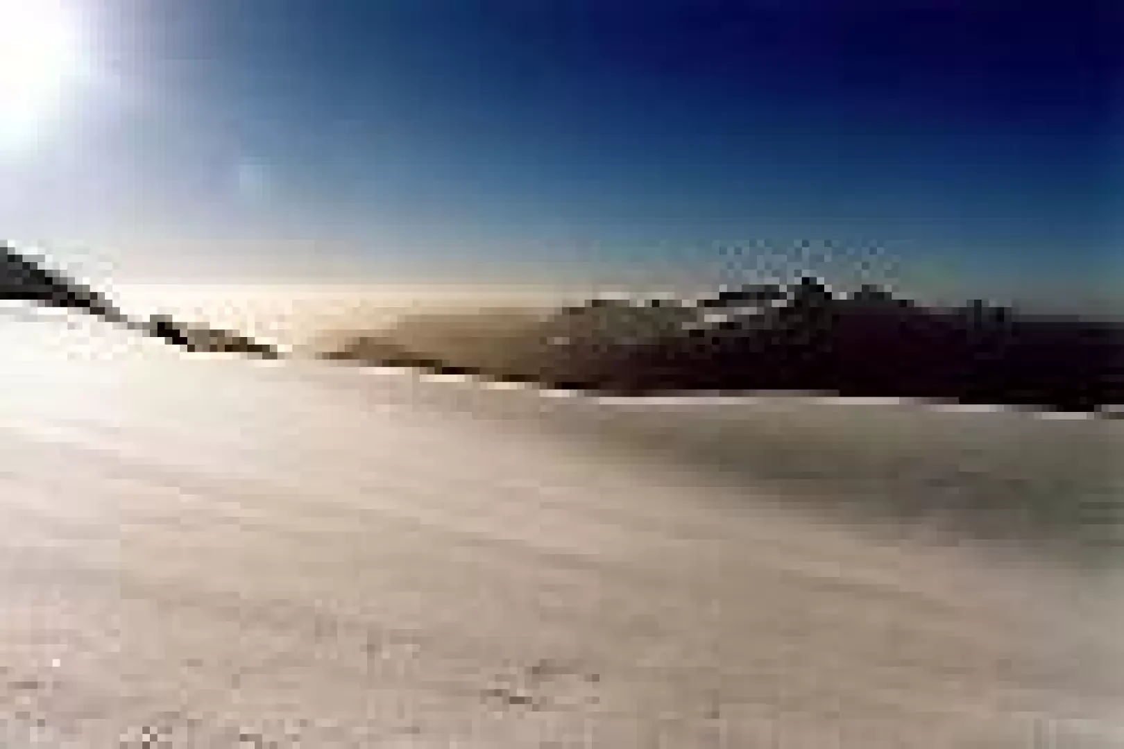
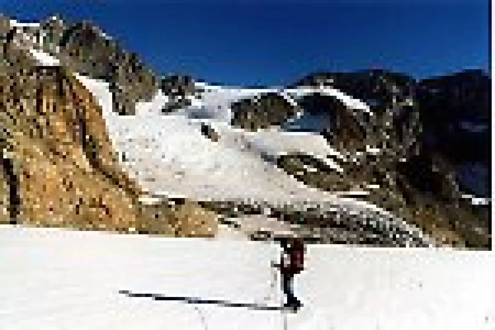
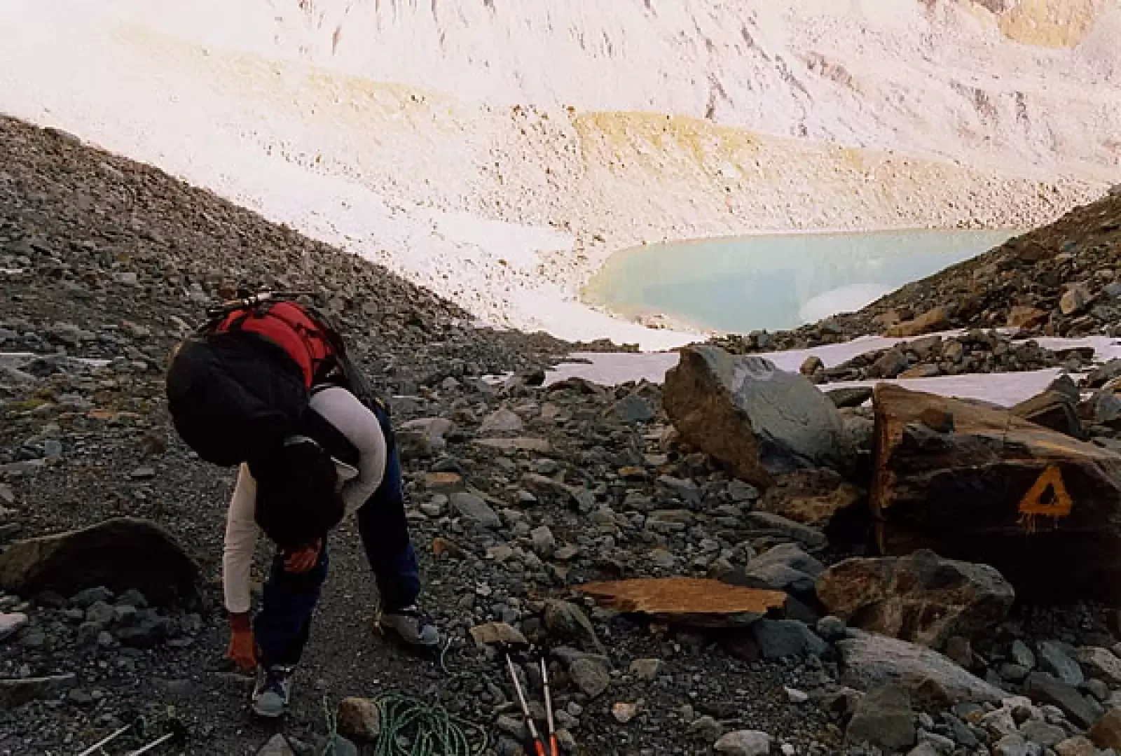
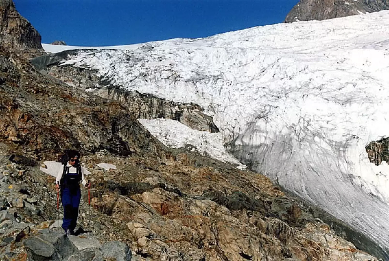
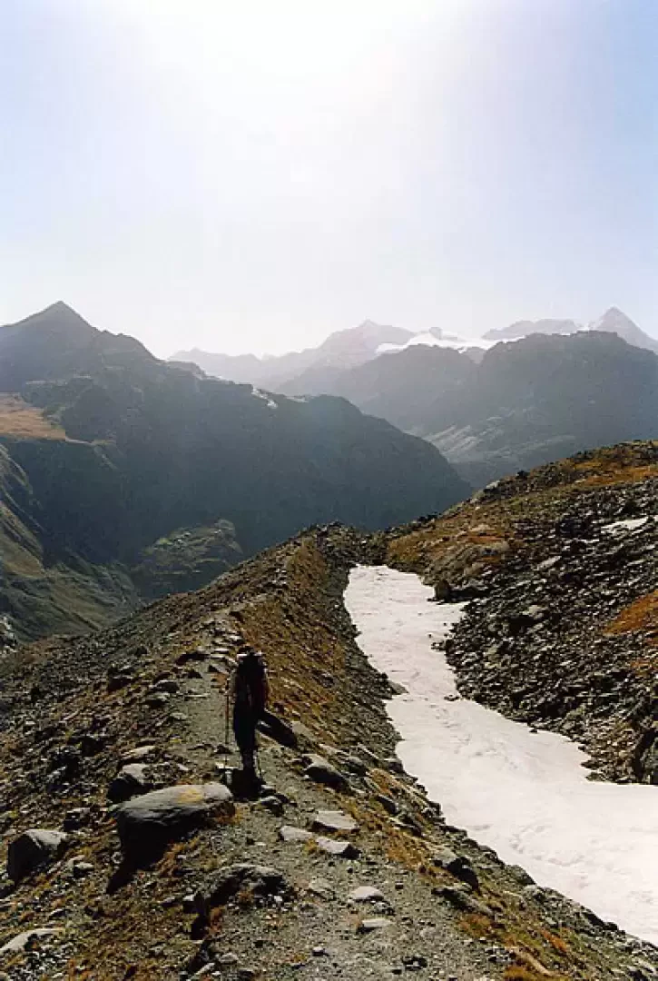
From the car park at Campo Moro 1990m, descend to cross the first dam along its upper level and, having passed the guardian's house, take a shady track on the left that descends to the foot of the wall. Opposite, well signposted, the little access path to the huts goes up (Caution with snow!); with steep turns between ledges in the sparse larch forest, it climbs up to a wooded knoll. From here, the straightforward path on a false plain approaches at length the Sette Sospiri (Seven Sighs): the name is indicative of a series of moraine ridges that end at Rifugio Carate 2636m near Bocchetta delle Forbici. From this position, the panorama is open over the basin of the Vedretta di Scerscen Inferiore with all the peaks of the Gluschaint group. The path, which is very stony, runs along the western side of the Cime di Musella at the base and leads slightly downhill to a recently formed glacial lake; just before the lake, on the left, the remains of a strange monument can be seen: these are the residual structures of a helicopter that crashed on the day of the inauguration of the Sondrio-Rif.Marinelli flights at the end of the 1950s. The path continues to cross the valley, crossing the glacial torrent coming from the Vedretta di Caspoggio on planks; on the other side it begins to climb the rocky promontory in sharp bends until it comes out on the esplanade where the Marinelli-Bombardieri Refuge 2813m is located. From the esplanade, follow the painted signs along the unstable scree track that leads to Passo Marinelli Occidentale 3050m (a stony hollow recently abandoned by the ice); from here, deviate slightly to the right over glacial terrain (suitable equipment!) until you cross the undefined line of Passo Marinelli Orientale 3120m. Continue practically level on the Vedretta di Fellaria Occidentale, parallel to the slopes of Piz Argent 3945m and Piz Zupò3995m; having passed the south-eastern spur of the latter, the glacier rises between wide crevasses to Passo del Sasso Rosso 3510m. To the right, silhouetted against the sky, is the Pansera Bivouac a few dozen metres away. Beyond the Altopiano di Fellaria you can see the Cime di Bellavista, the Pizzi Palù and, on the horizon, the Eastern Alps. For the return journey, it is necessary to retrace one's tracks as far as Passo Marinelli Orientale, where one flanks Punta Marinelli to the SOUTH and follows the southern tongue of the Vedretta di Fellaria Occidentale to its end. Follow a track on morainic terrain (yellow triangles of the Alta Via della Valmalenco), at first quite comfortable, then steeper and bumpy until you reach the visible Rifugio Bignami 2401m. On a nice path, panoramic towards Pizzo Scalino, descend to the upper level of the Gera dam, which you cross and then leave along a steep concrete footbridge. From here, along a dirt track open to traffic, descend to the Campo Moro lake, walk along it and return to the car park.
General Information
Path:normal from Campo Moro
Signposting: -
Type of route: a/r
Recommended period: July, August, September
Exposure to sunlight:south
Objective hazard:path with glacier crossing
Photo gallery
Comments (0)
Sign in to leave a comment