Ghiglione Bivouac


Edited by:
Giancarlo Beretta
Updated at: 14/03/2025
Access
Exit the motorway at Courmayeur, follow the signs for the Mont Blanc tunnel and then for Val Ferret. As soon as you leave the road that leads to the tunnel, at a hairpin bend, you will immediately find a large car park, or, if you continue by car, you will find two more car parks at the cable car departure station and, with this, you will drive up to the Rifugio Torino.
Introduction
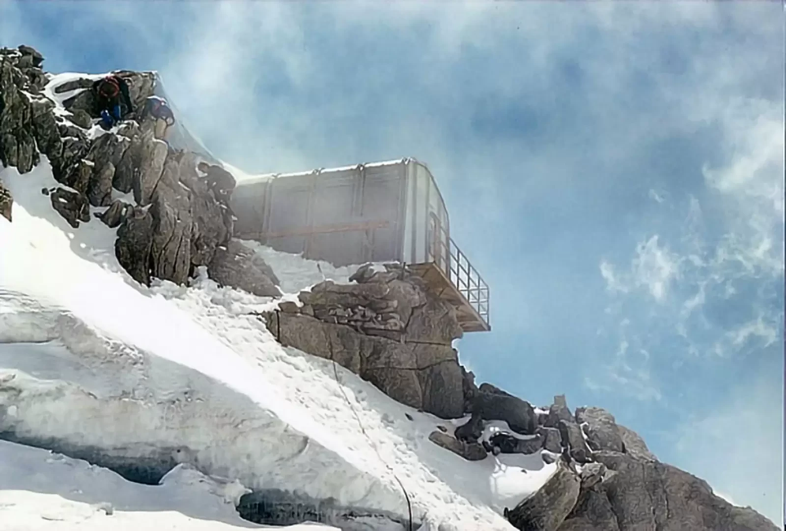
A beautiful high mountain itinerary that can be done in a day, starting with one of the first rides of the cable car that goes from Entrèves up to the Torino refuge. The bivouac is currently unfit for use (for some time now, the hypothesis of rebuilding it by moving it to a more stable position on the crest has been under consideration), but it is still a destination that provides a stupendous view of the Himalayan side of the Brenva, savouring the historical climate of the first changes in mountaineering technique in the 1980s: the colour of the photos and the clothing unequivocally date back to that period. Now, for the type of ascents in that area of Mont Blanc, the nearby Fourche bivouac is used.
.Description
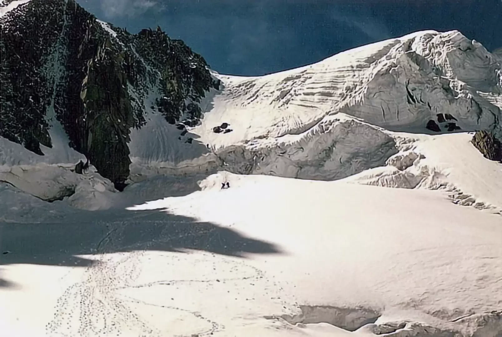
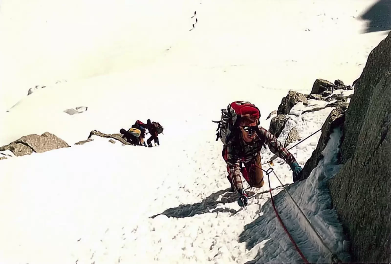
From the Rifugio Torino Nuovo, follow the numerous tracks that go over the Col des Flambeaux (below the aerial support pylon of the gondola) and turn left, descending for a hundred or so metres to pass near the steep north face of the Aiguille. des Toules (about 3250m). From here, leaving the wider track to the right that leads to the Aiguille du Midi, proceed westwards passing north of the Tour Ronde and, via the slightly sloping slopes of the high glacier of the Giant, come into view of the obvious Col du Trident.
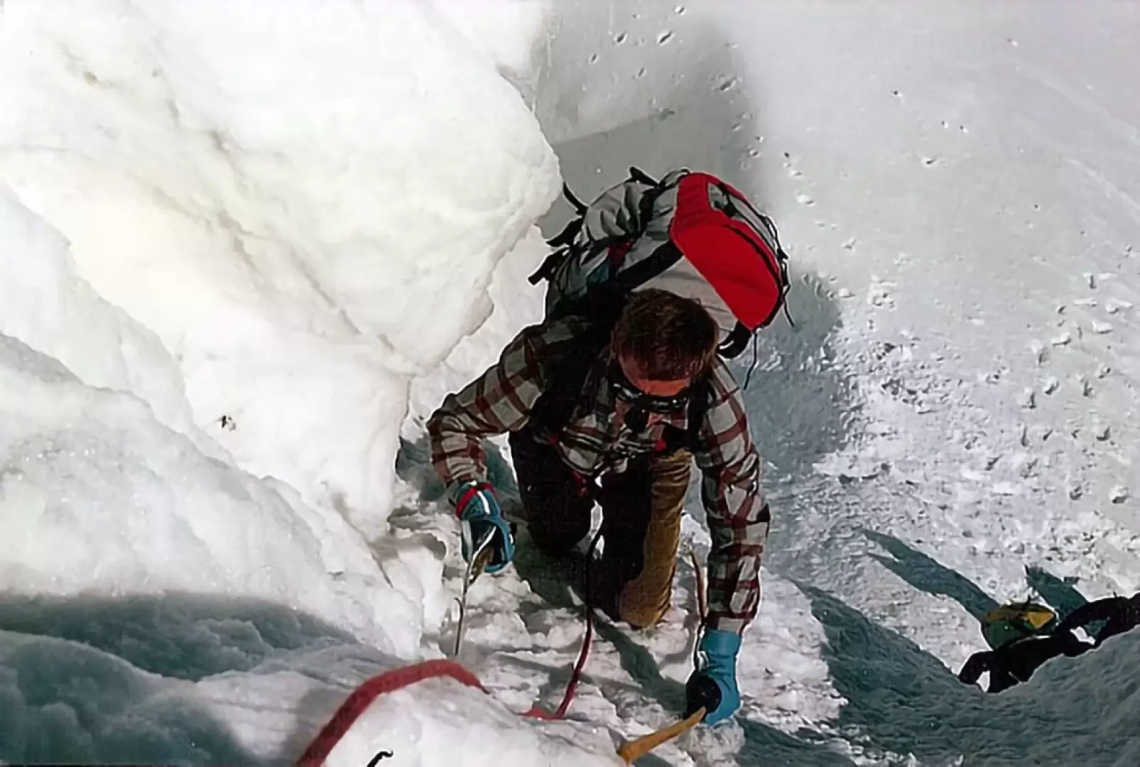
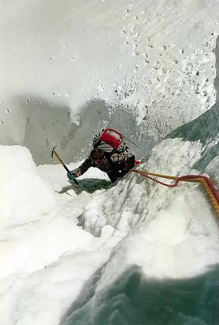
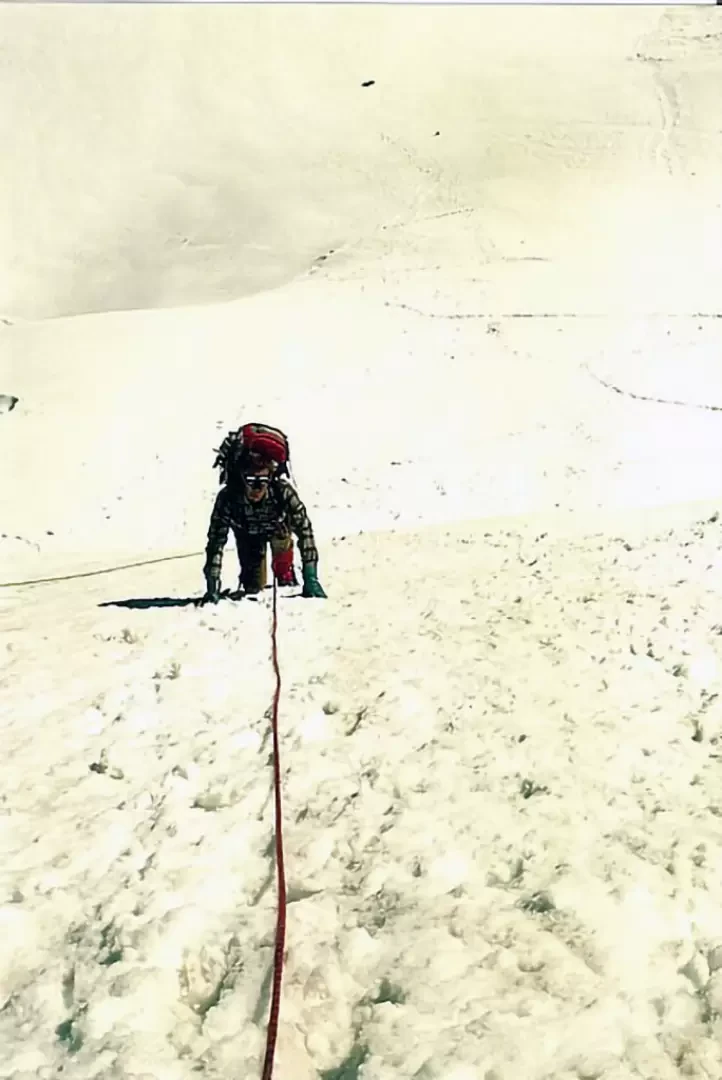
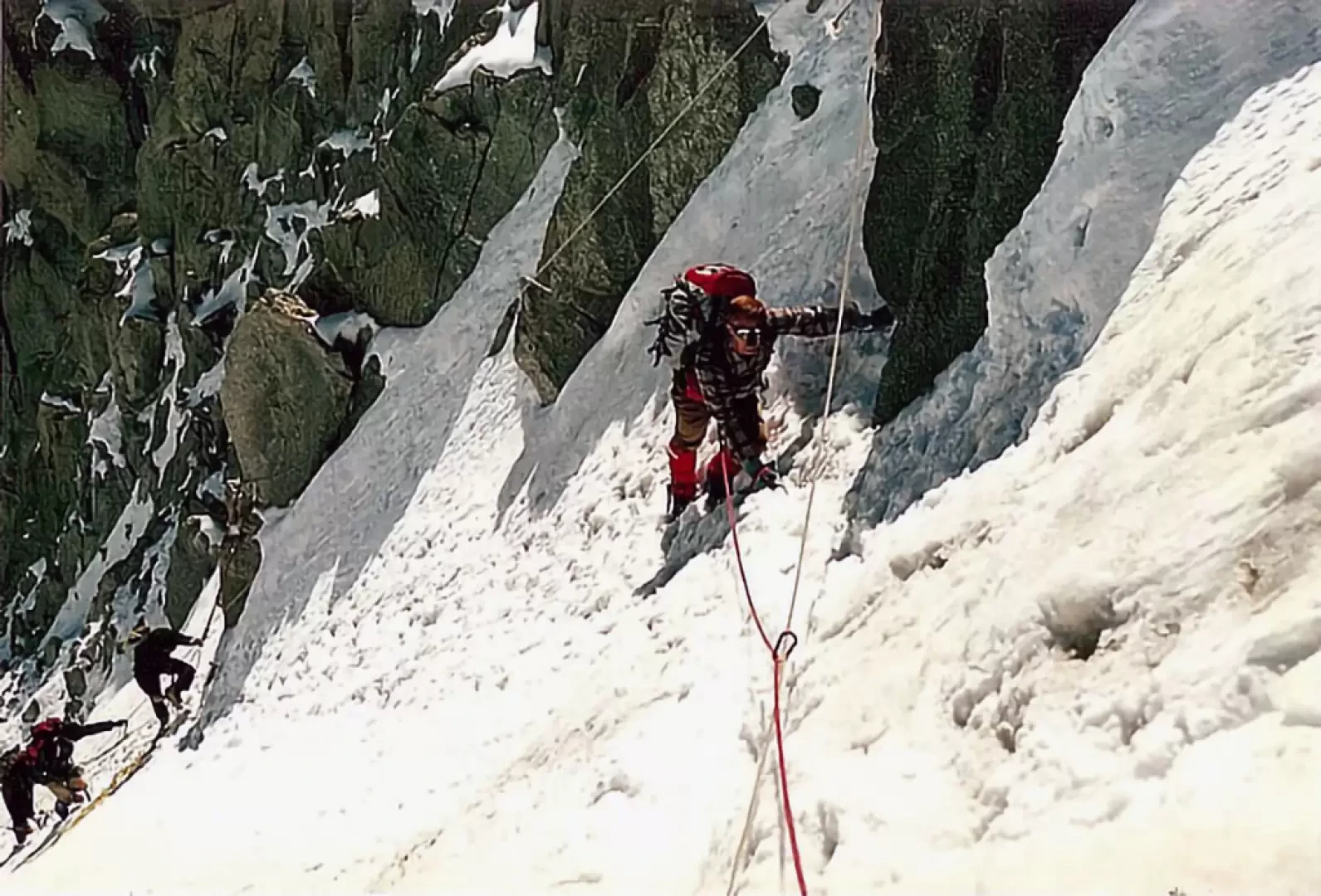
You head decisively for the terminal crevasse (very high) trying to find the most easily passable gully (short vertical section) to head up a steep slope towards the flank of the last offshoots of the Aiguille du Trident. One arrives just below the col and, in a slightly more inclined section, one traverses ascending obliquely to the right to reach the col from where one can see, like an eagle's nest, the aerial shelter standing out towards the eastern slope of Mont Blanc.
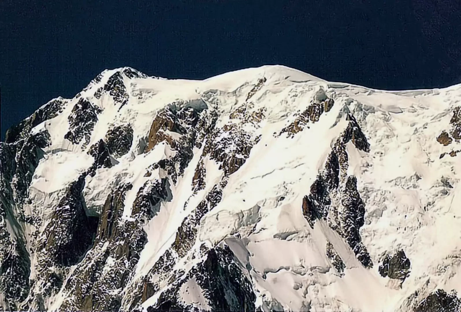
The panorama opens up immensely: from the Peutérey ridge to the Brenva slope with the historic Col Moore, beyond which the most demanding and historic routes in that sector begin, and to nearby Mont Maudit. The return is made by following the ascent route (2h00'). The bivouac has been inaccessible since 1993.
.The bivouac has been uninhabitable since 1993.
Riferimenti Bibliografici
- Guida Vallot Monte Bianco vol. 2 - -
- Monte Bianco vol.1, Guida dei Monti di Italia - G.Buscaini - CAI-TCI, 1994
Photo gallery
Comments (0)
Sign in to leave a comment