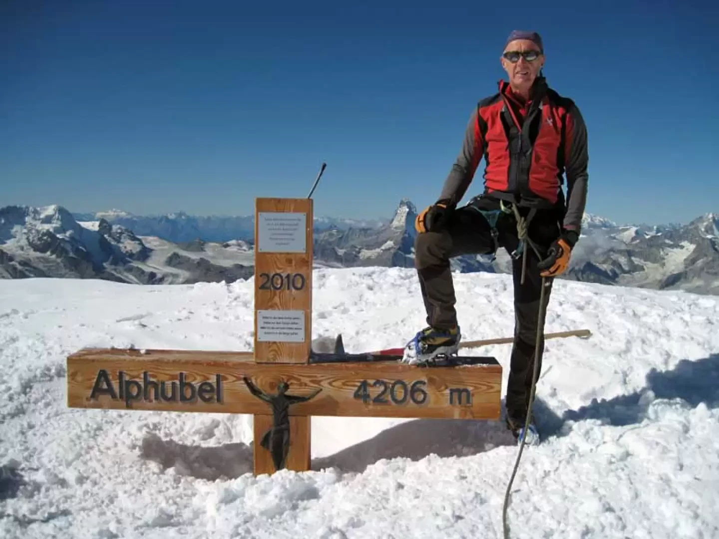
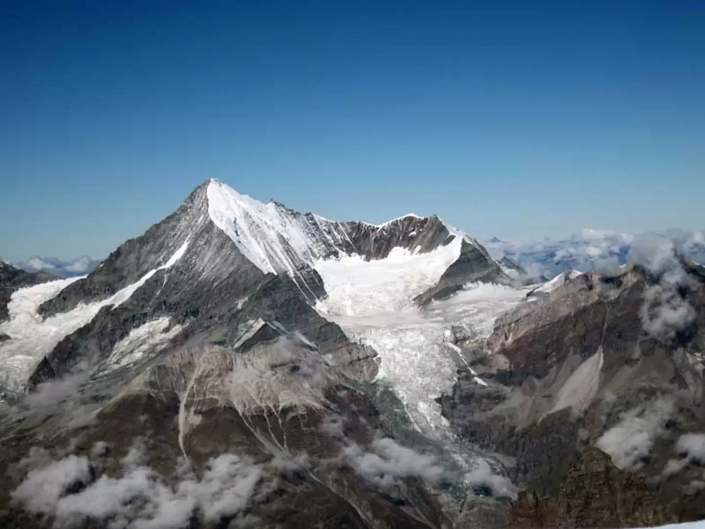
Alphubel, from Mittel Allanin


Edited by:
Giancarlo Beretta
Updated at: 16/11/2025
Introduction
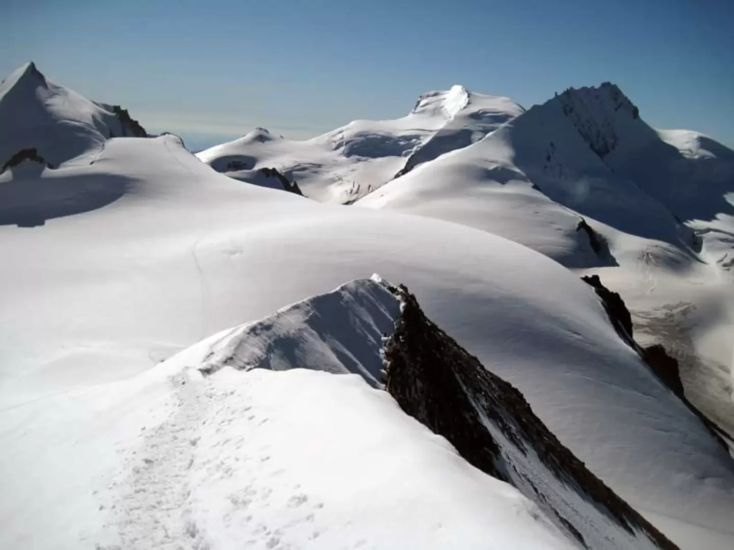
The Alphubel is a 4000-metre peak with imposing glaciated slopes and a characteristic trapezoidal shape located immediately south of the rocky Taschhorn. The ascent is quite popular and, if well trained and acclimatised, can be done in a day either by returning from the ascent side or by making the traverse using the convenient lifts. To reach the south ridge, which starts at the Alphubeljoch, one follows the first part of the normal route to the Allalinhorn and then continues on an enjoyable section of rocky ridge; from the Alphubeljoch, where the track up from the Taschhütte also arrives, the ridge becomes thin and in places airy with a final slope, sometimes of live ice, on a steep incline. Some points of the descent from the normal route to the Langflue are a little tricky due to the crossing of many crevasses, some of which are also of large proportions. If you want to split the climb in two and spend the night at high altitude, you can go from the Felskinn to the Britanniahütte (1h 20' with a hundred-metre difference in altitude) and in the morning return to the station to catch the first Mittel Allalin ride.
.Description
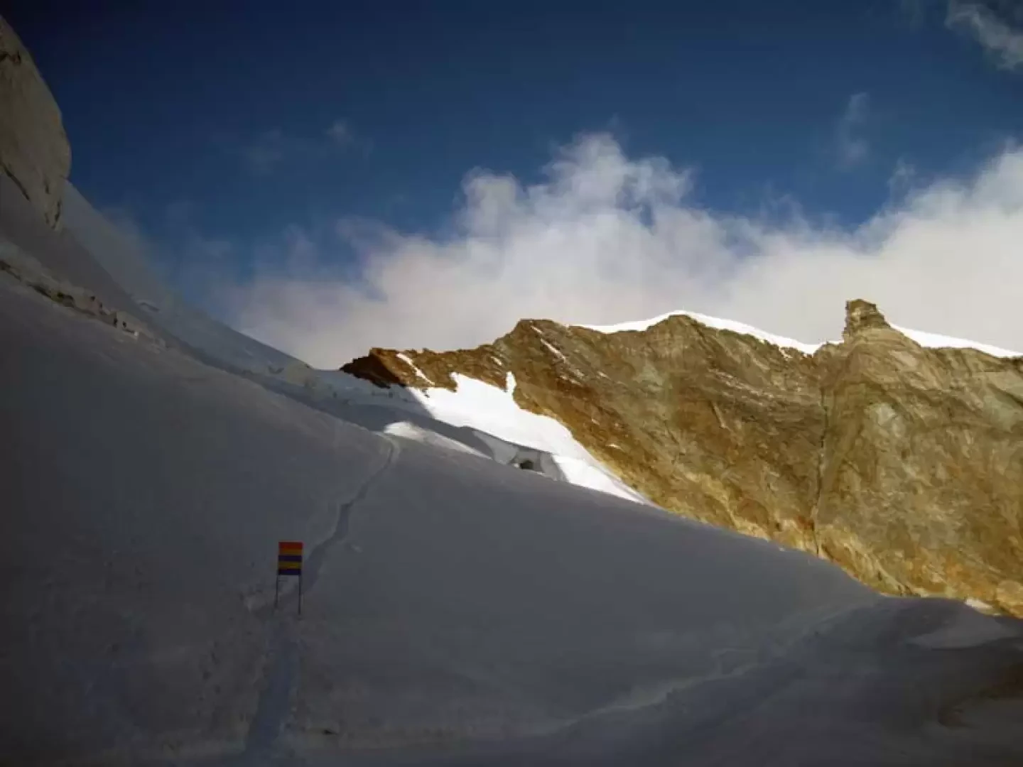
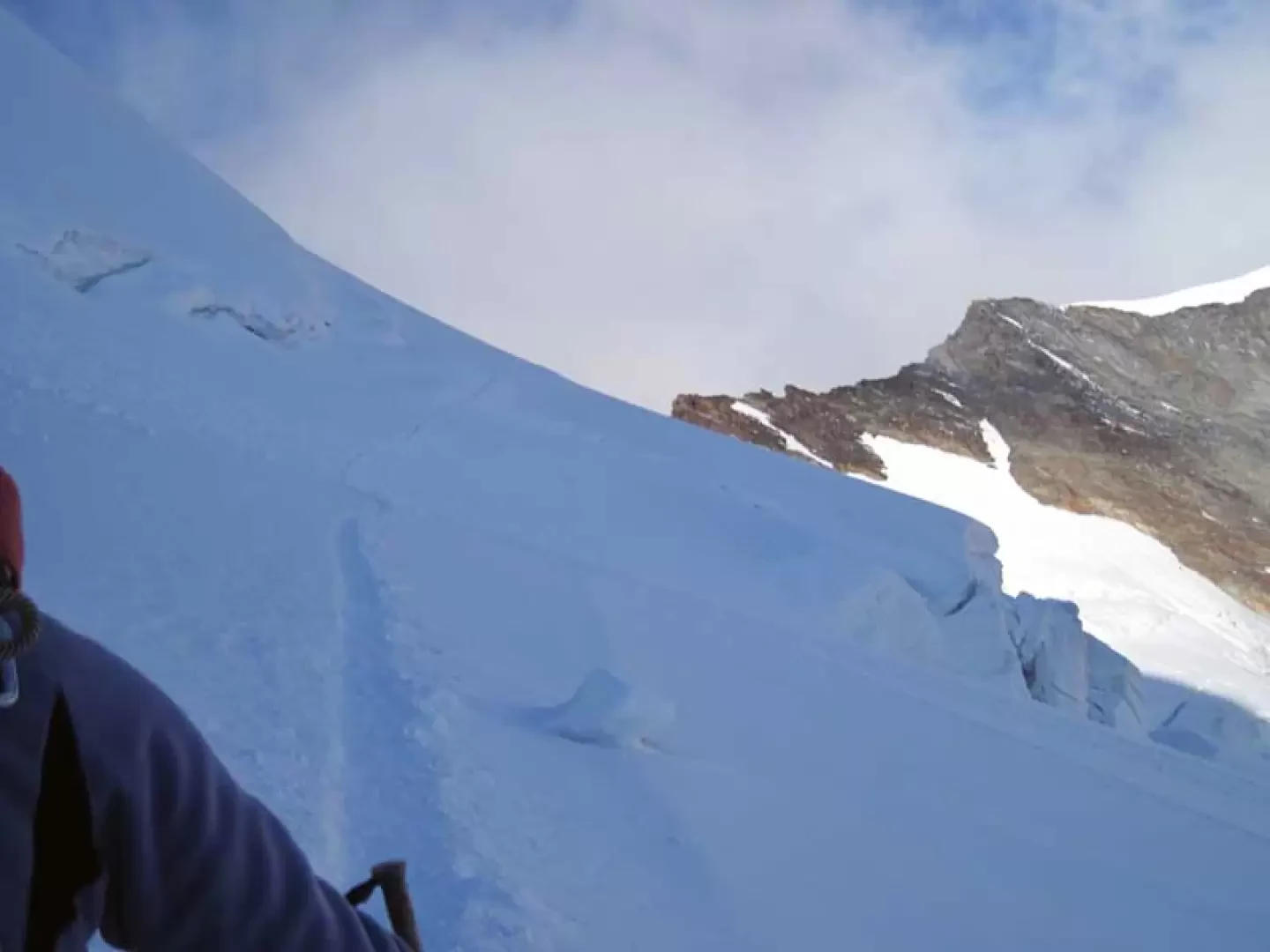
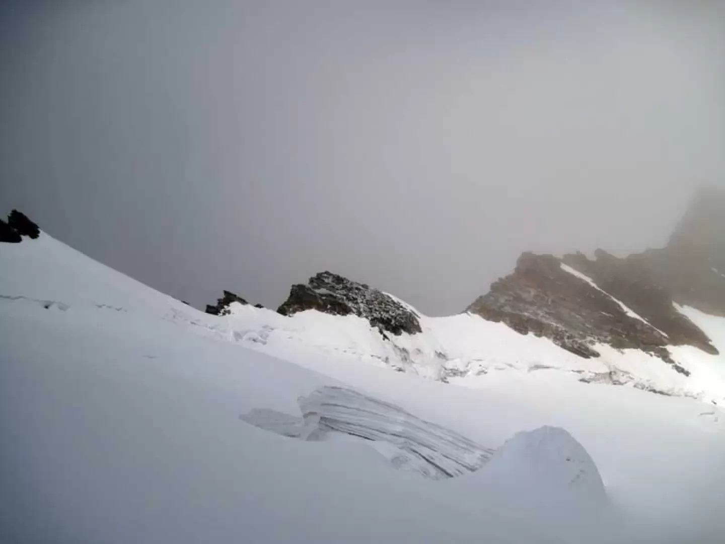
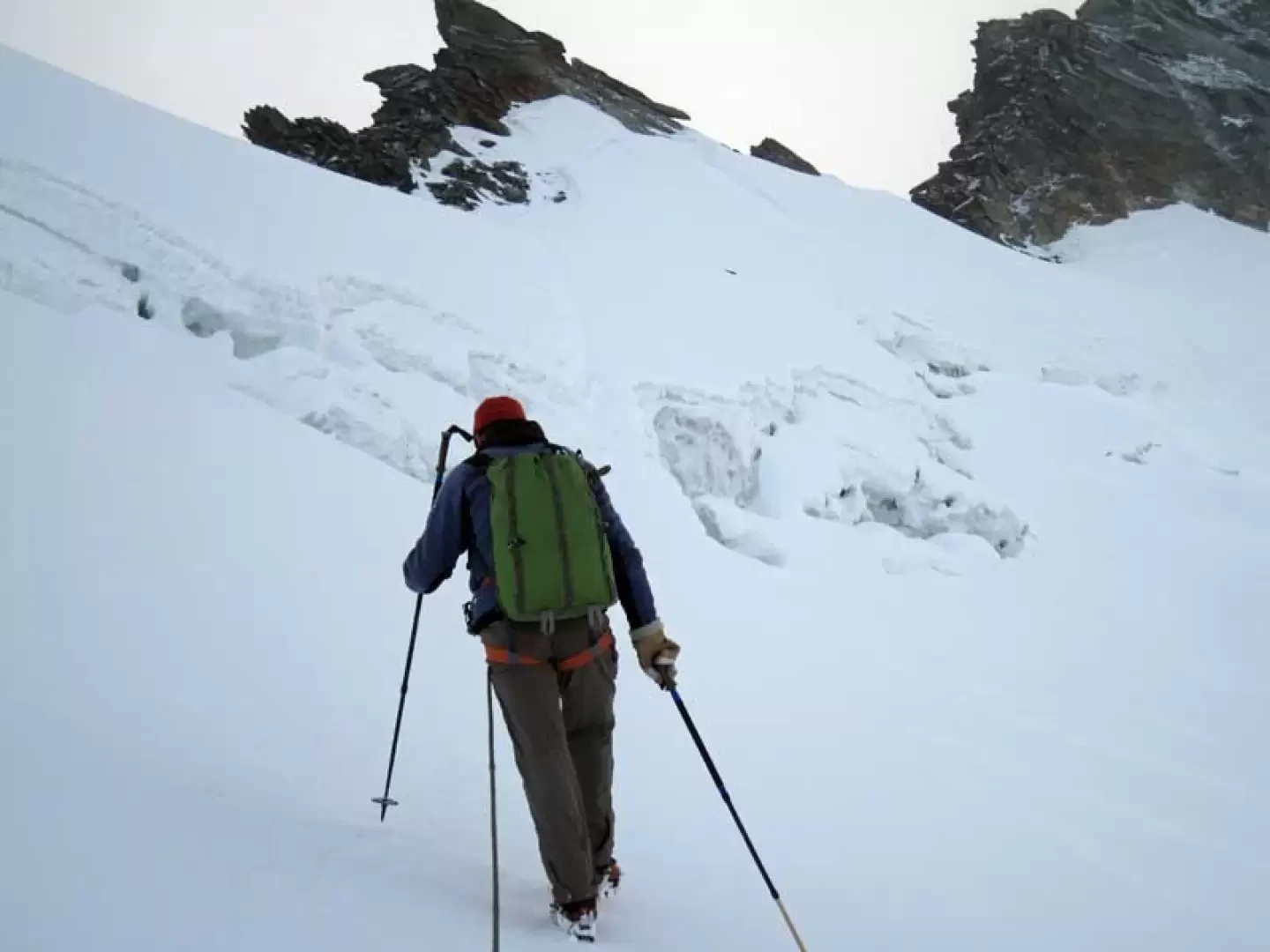
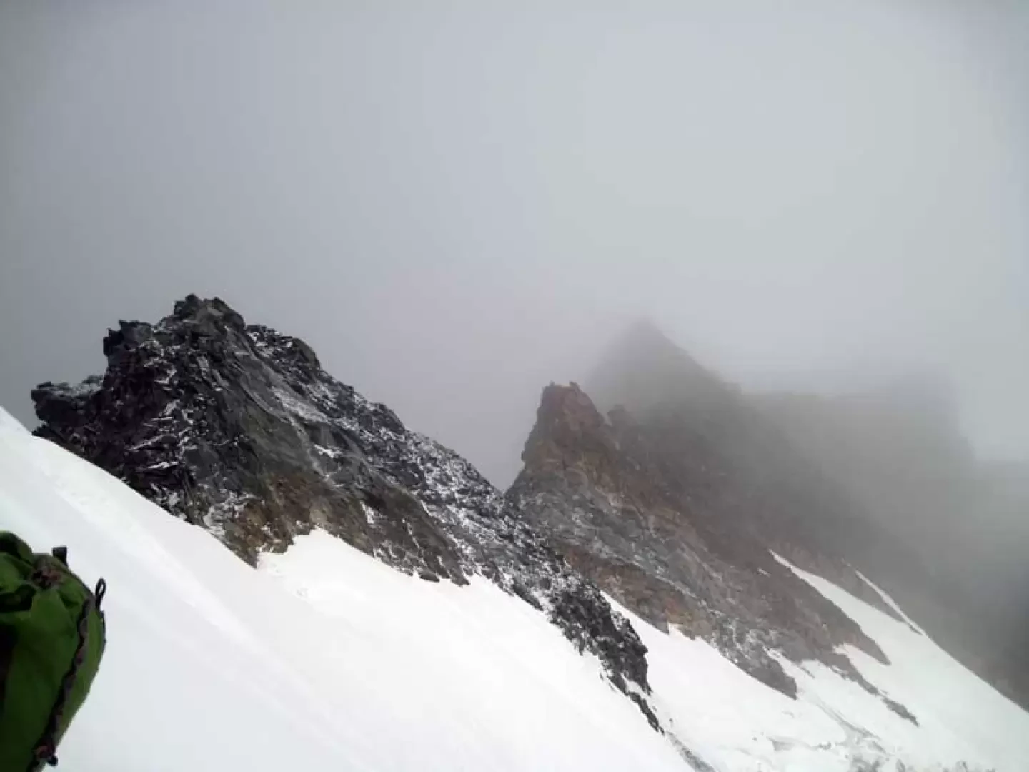
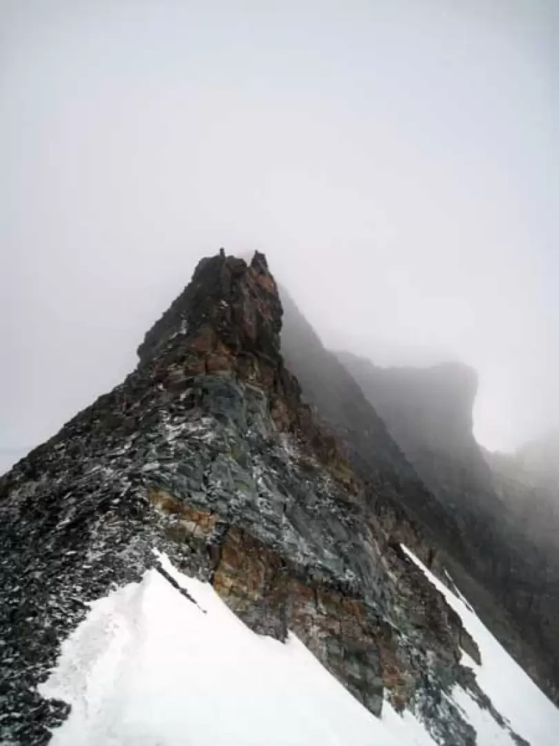
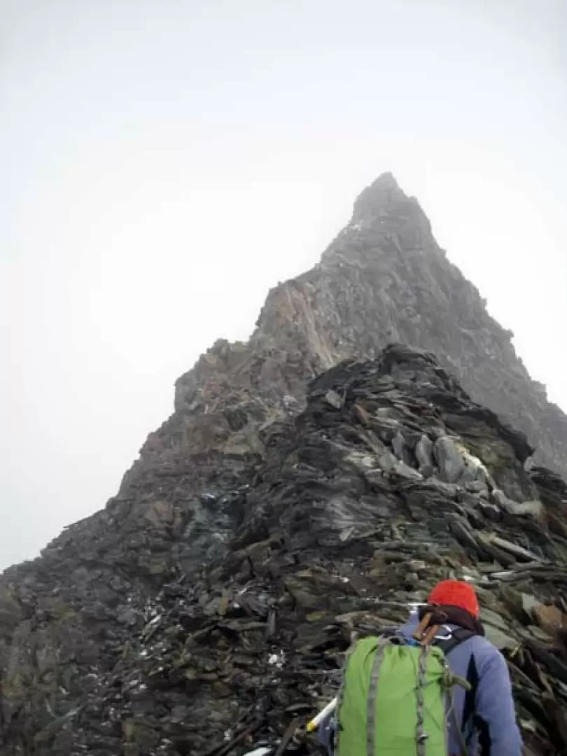
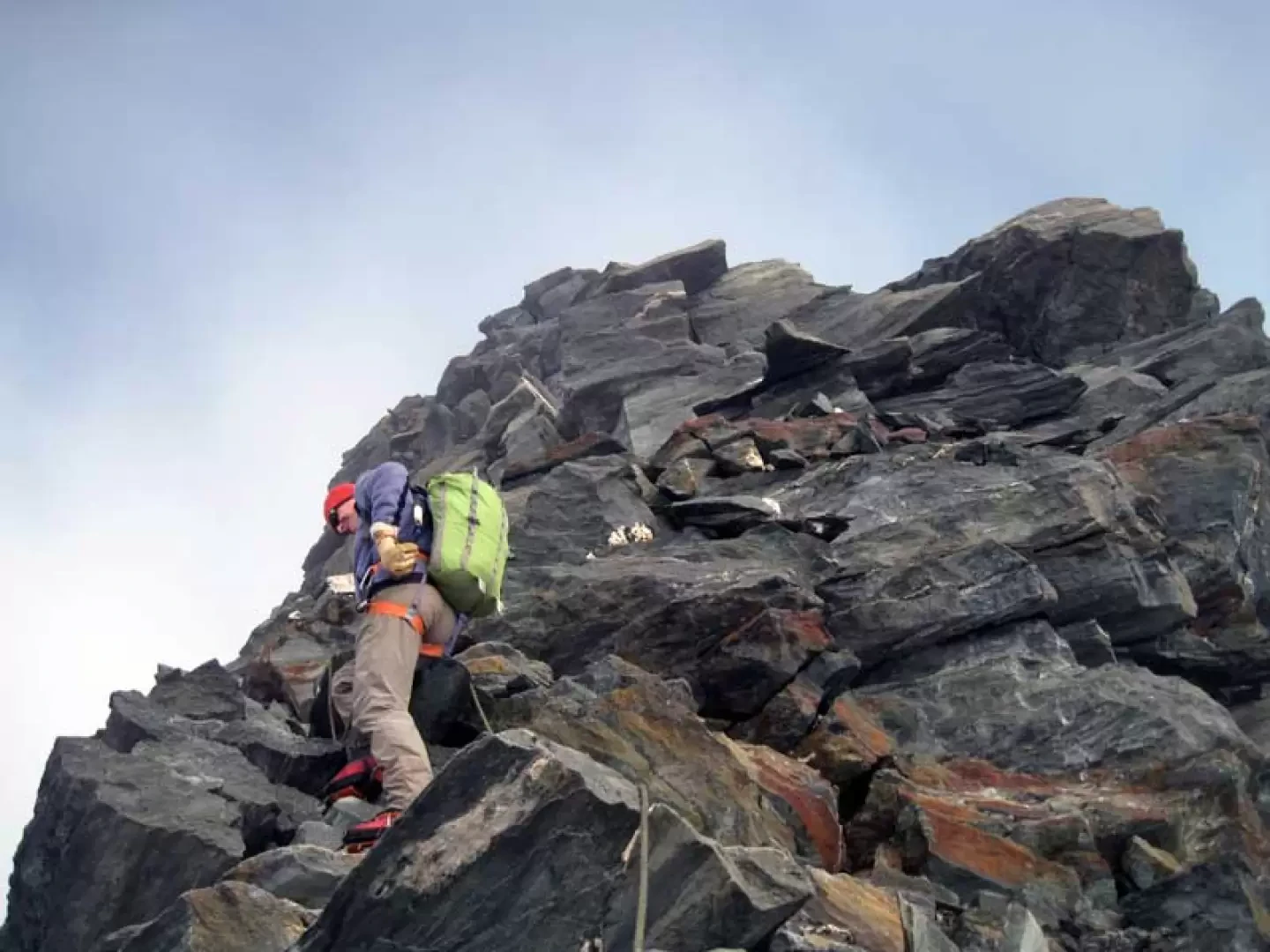
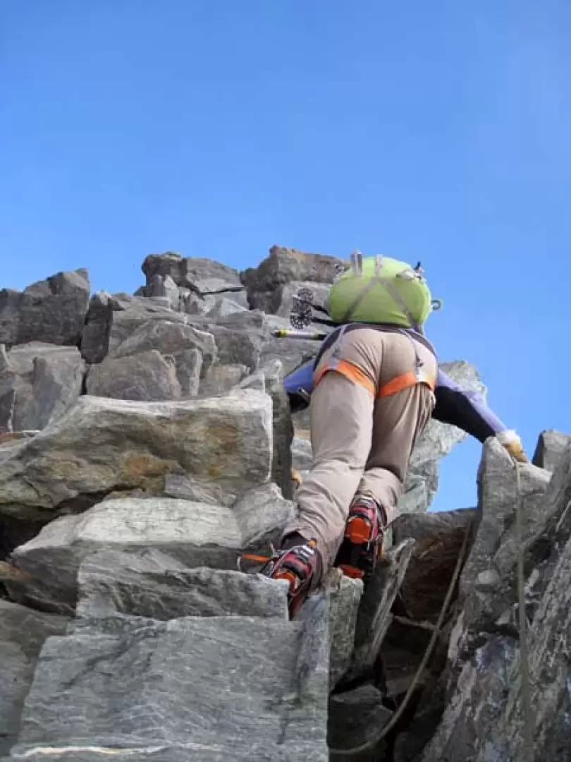
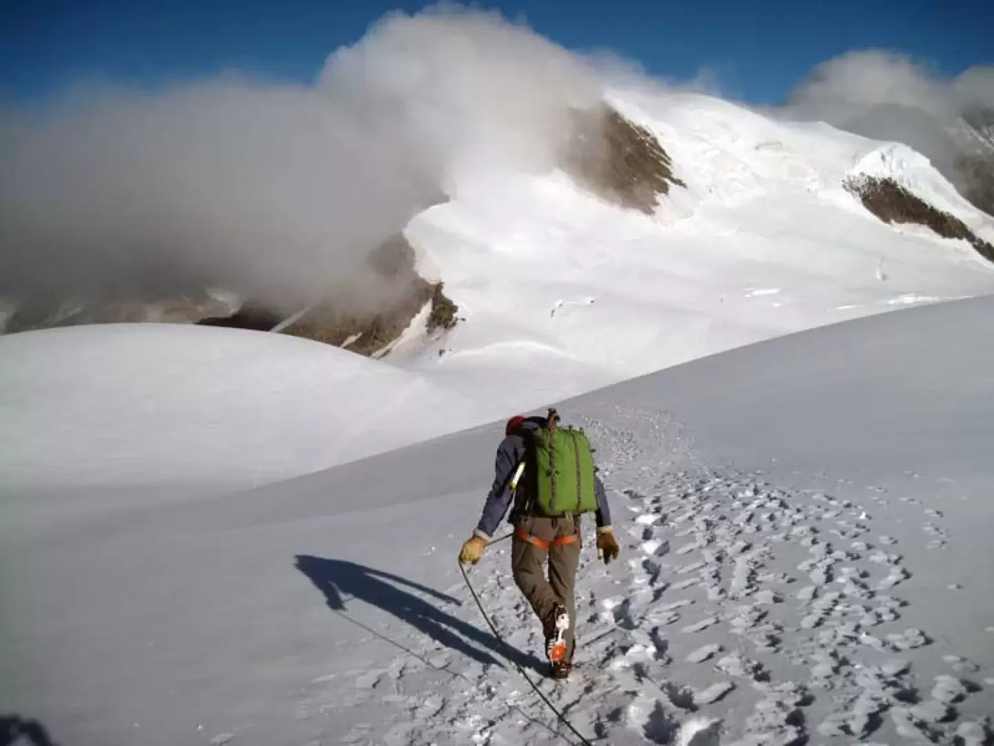
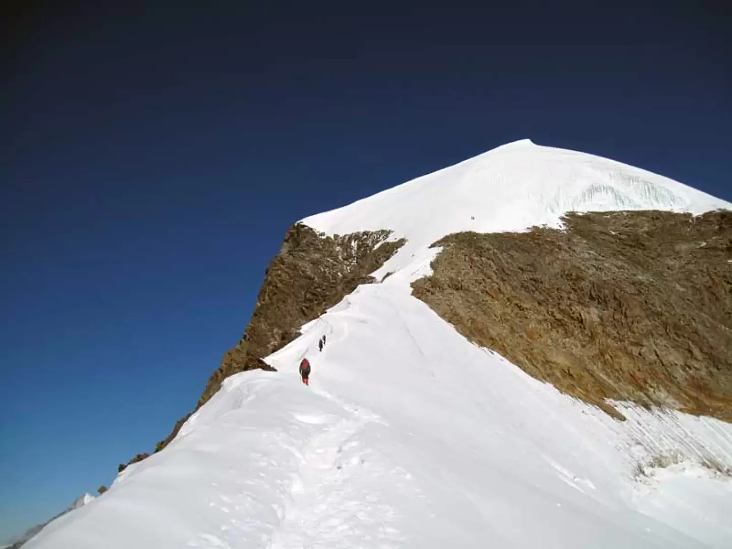
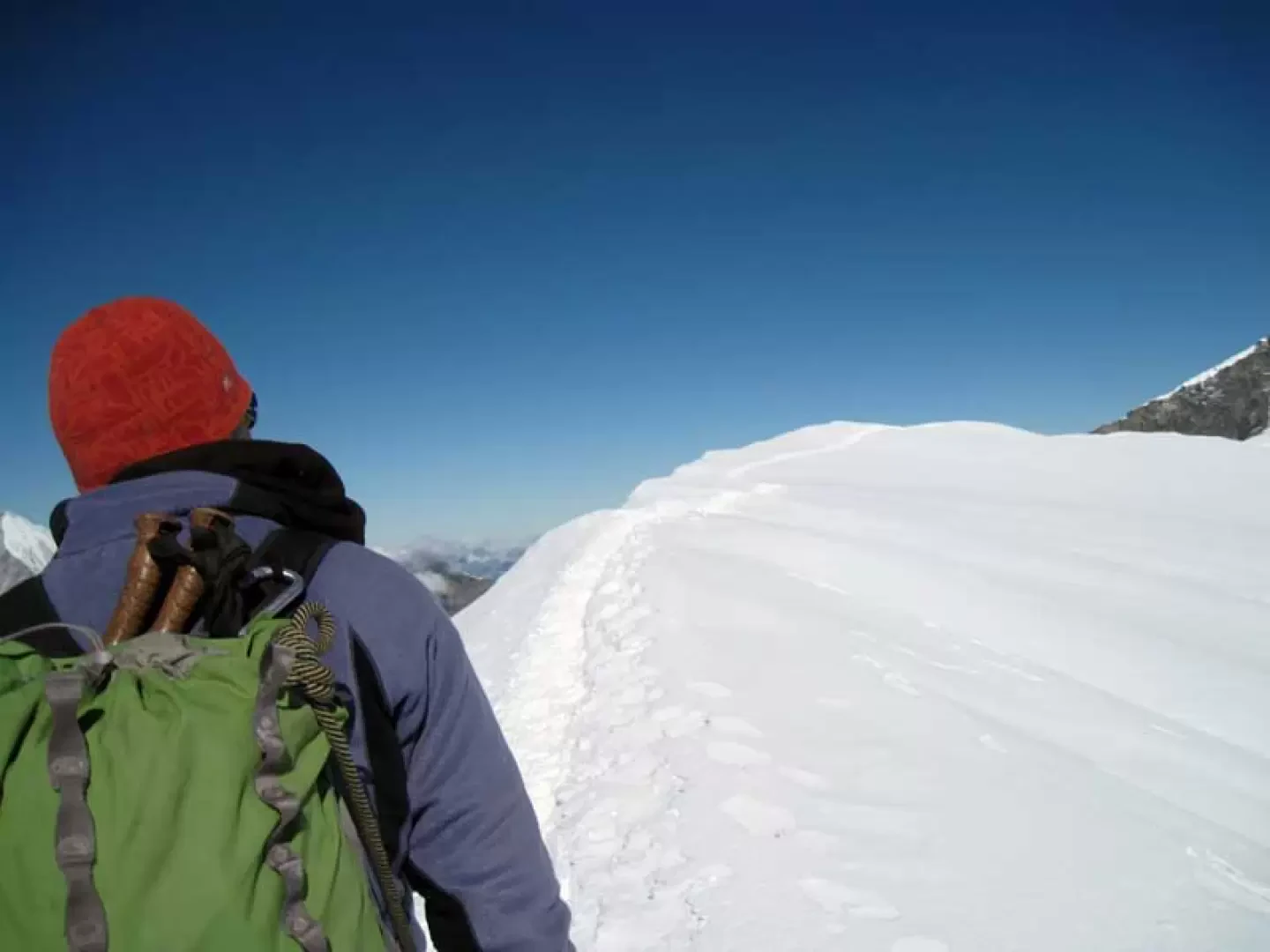
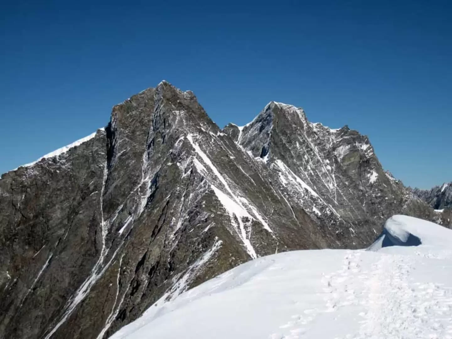
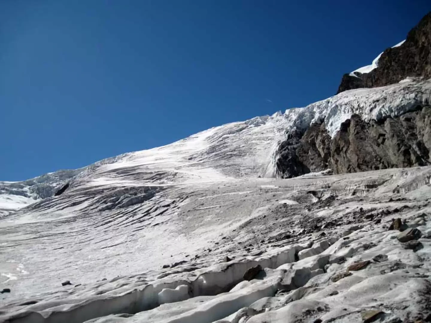
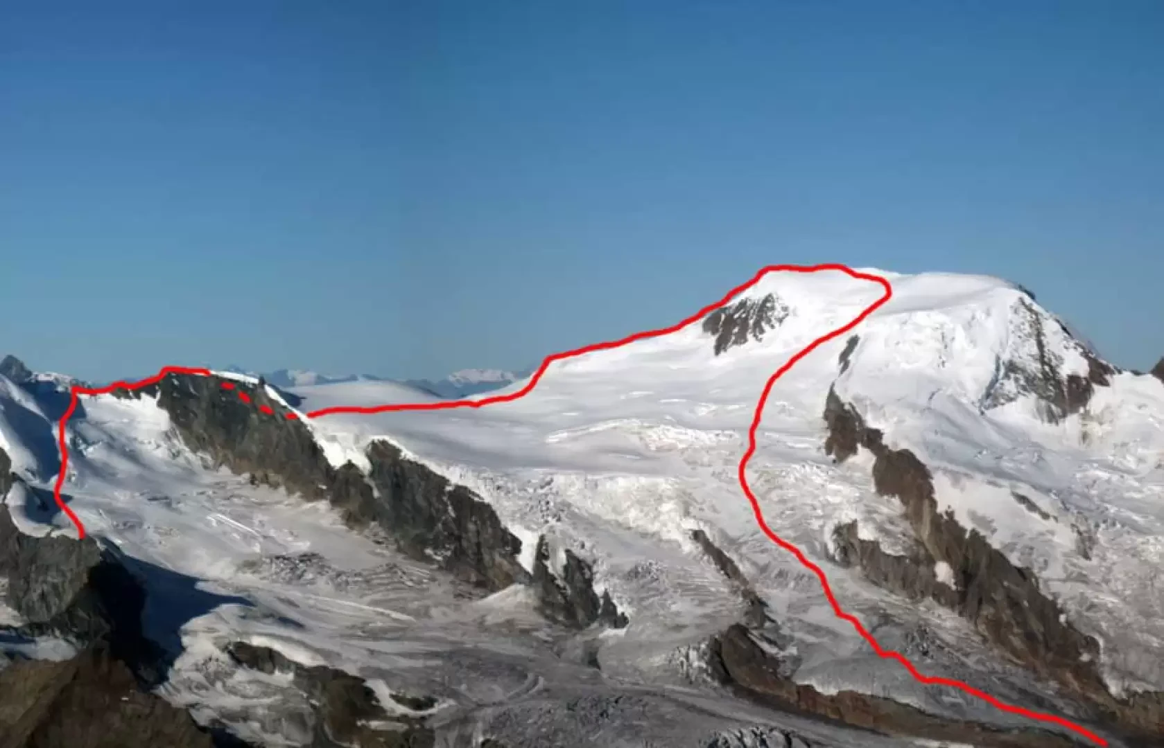
From the Mittel Allalin, follow the ski slope around a rocky slope towards a ski lift; cross it to reach a large serac on the icy slope to the left where you leave the piste. Continue the ascent halfway up the track that is almost always present towards some small crevasses that are easily passed to cut across a slope that is not very steep and is supported by a large hanging serac. Once past this point you are now in sight of the Feejoch (3807) which is just above and so, having left the track to the left, head towards the rocky notches, preferably reaching the narrow crevice between the first and the second; having passed the almost always fairly closed terminal at its best, you finally reach the col where the ridge begins. From the notch, attack the first outcrop, which is easily overcome on the left on ledges and somewhat mobile rocks to descend a few metres and reach a somewhat exposed snowy saddle at the base of the second rise. This is passed to the left on stepped rocks and then, more directly, climbed up along the edge to the summit; now descend to the notch and, on a dirt track, reach the base of the third and highest rocky outcrop which, at first, is climbed around it for a short stretch to the right to then pass onto the other side and, after having climbed up on well stepped rocks, continue along an evident short chimney (II) to its end where there is a metal anchor bolt (3923 m). From this point, continue on the short but exposed ridge of rocks that leads to the glacier, from which you lose a little height difference by walking towards the wide col at the base of the ridge to be climbed. On reaching the Alphubeljoch (3784 m), attack the ridge on the left flank, at first remaining a little below the line, which is then reached at the end of the first snowy hump. Now the slope decreases noticeably and you continue faithfully following the ridge line, which becomes exposed and at times even a little airy; you then walk a little below to the right of it to avoid a few ledges, heading towards the final slope. Start to climb it, on a slope that suddenly steepens, with a few zigzags, remaining to the left of the large seracs, passing, in advanced season, by some rocks; now climb for a few dozen metres on the slope that becomes steep (45°), tackling it more directly, paying attention to the possible presence of live ice. When the slope diminishes, you come in sight of the small terminal serac that you reach to continue, now on the level, along the comfortable ridge that leads shortly to the summit cross.
There are two possibilities for the descent, the first of which is a little longer but safer and with less height difference, and the second is more delicate due to the passage through crevassed areas but certainly alpinistically more complete because, exploring various sides, you make a beautiful traverse:
1) you descend briefly on the normal route until you reach, after a steep section, below the first seracs and then turn sharply to the right passing below the summit to return to the Alphubeljoch and from this to the rocky part of the ridge climbed on the way up; descend it with a simple descent to the Feejoch and from this to the Mittel Allalin.
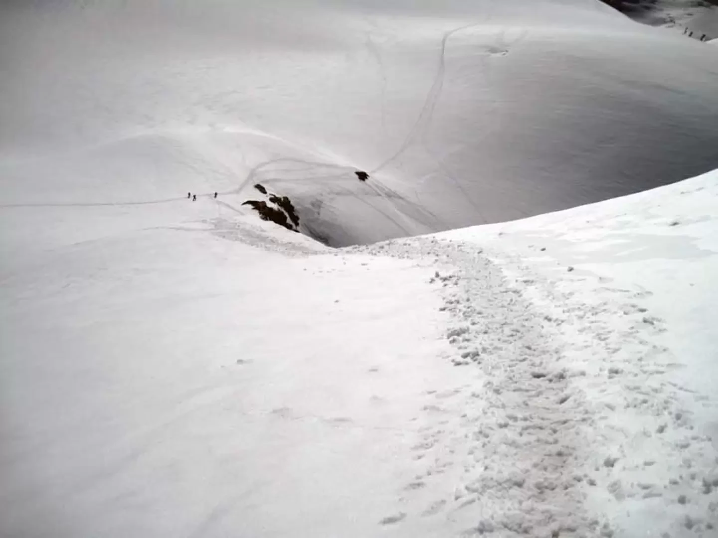
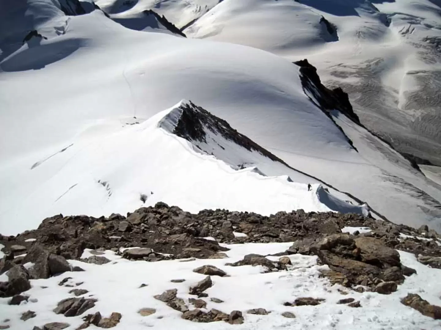
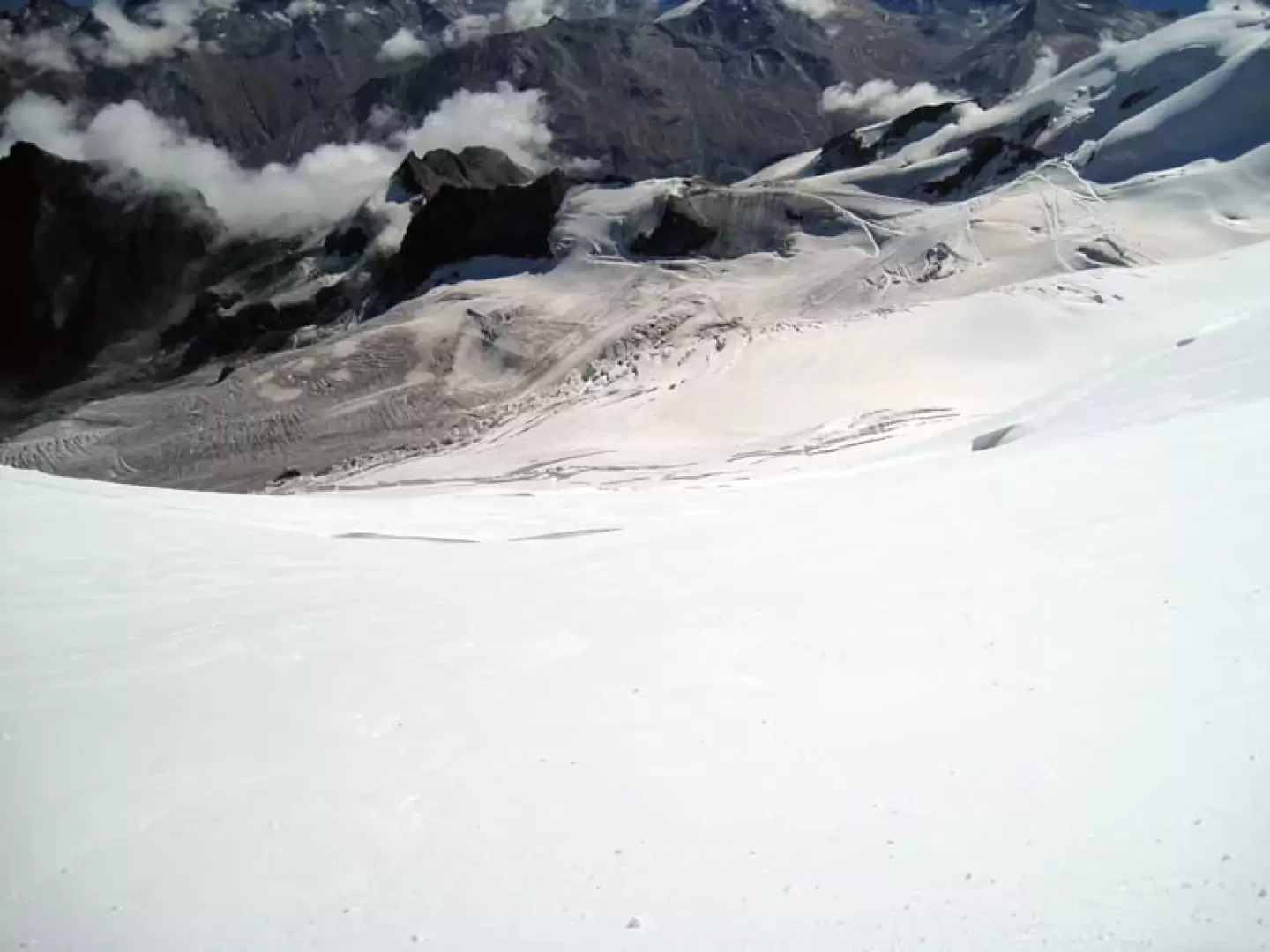
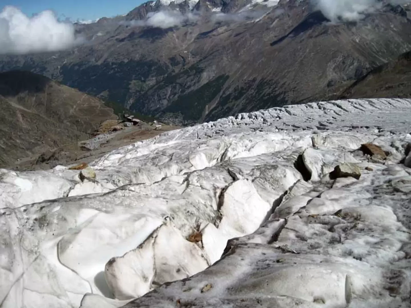
2) Once you have descended below the first seracs, instead of turning to the right, continue the descent on the normal route along the steep glacier, which in a short time allows you to quickly lose height, but be careful when crossing large crevasses; below this area, where the slope decreases, keep a little to the left and, skipping the numerous cuts along the way, you will reach the part of the glacier which, as the snow layer decreases, has more lively ice, especially in the late season. In this area, the crevasses are clearly visible but, as they are really numerous, the descent becomes more tortuous and sometimes forces numerous turns in search of the best passage. Having arrived, still on the glacier, in sight of the ski lift station, head for it, looking for the most comfortable route, now walking on the live ice of the lower tongue of the glacier; finally arriving on the moraines at the end of it, cross a couple of them to reach the ski slope that soon leads to the Langflue station (2884 m). If this is closed, it takes about half an hour to descend by path to the Spilboden station below.
Photo gallery


Comments (0)
Sign in to leave a comment