Bocchetta di Forcola
Introduction
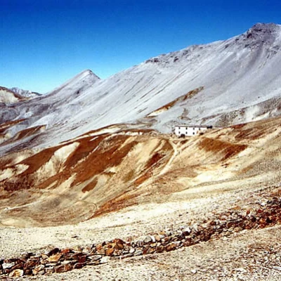
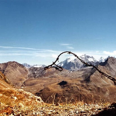
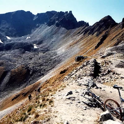
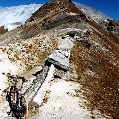
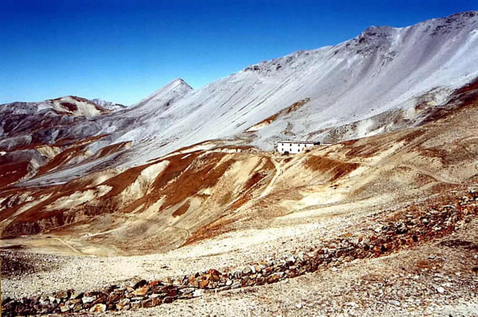
A hike through wide open spaces (some call the landscape lunar); we reach the ruins of military structures from the '15-'18 war, within sight of the Stelvio/Ortles glaciers. The route is not exposed, and only very stony and steep in places: the real problem is the breath, due to the unusual altitude on the bike.
Description
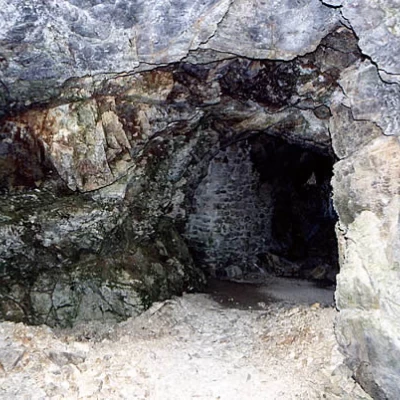
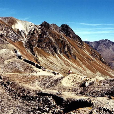
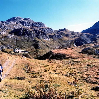
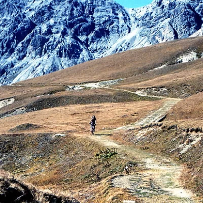
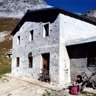
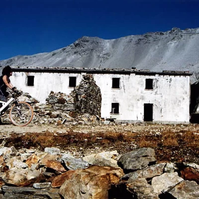
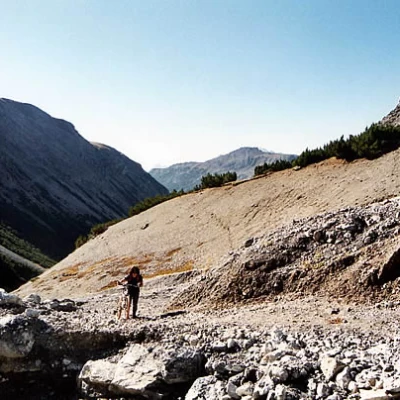
From the car park, following the precise directions of the Stelvio Park, we continue on the dirt track that will take us almost to our destination. Initially, we pedal through a forest of tall mountain pines on a compact gravel surface along the Val Forcola, with a few ups and downs, beside a stream with little vegetation on its banks. Then the gradient increases and, after a power station, for a few stretches of large stones dislodged by landslides, you must also get out of the vehicle. You reach the restored Malga Forcola 2311m and it is a good idea to take a rest before tackling the toughest section: the terrain improves, even becoming grassy in places, but the route climbs up the terminal amphitheatre (the lunar one!) with hairpin bends and curves - a classic feature of military roads - until you come out on a partially artificial plateau that houses the remains of a large barracks 2740m. From here you briefly pedal along an easy path, which comes out at Bocchetta della Forcola 2765m, amidst trenches, artificial tunnels and concrete posts that are still fairly well preserved. (Multilingual explanatory panels on site). Descent along the same route, paying close attention to the shifting bottom. Other return routes are also possible, but they always imply the presence of a second car.
