Valcolla: from Signôra to Piandanazzo

Edited by:
UpTheHill
Introduction
Very quiet excursion made with Danila and Pierfranco, especially to hear their account of the Nepalese 10-day trekking experience to the Annapurna sanctuary (how envious!).
Description
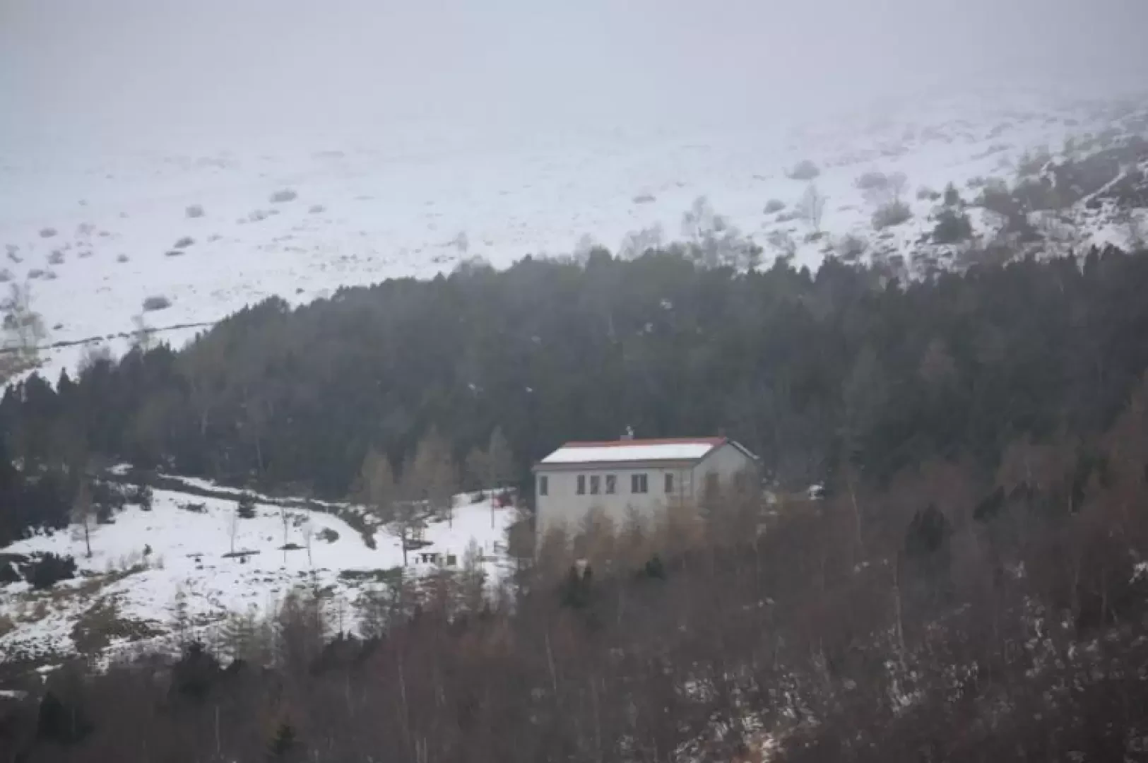
Originally we would have liked to have done the Muggio Valley tour attempted with Enrico, but the weather was decidedly worse in the Sottoceneri than in the Sopraceneri, which advised against it. So we opted for the ascent to the Monte Bar hut starting from Signôra (Valcolla) instead of Corticiasca. This was a very happy choice: the path runs for the most part through the forest, with a gentle slope, passing rare clearings and changing vegetation after each clearing. We came across some fruiting chestnut trees at about Q1200. From about Q1400 we began to find snow along the route, fortunately only about ten centimetres and well-bearing. At Moncucco we found the junction: on the left towards Piandanazzo - Bar, on the right the path we took last year, which passing under the Garzirola leads to the San Lucio pass. Having arrived at Piandanazzo, we decided to interrupt the hike, due to mounting fog. From the refuge, the hut can be reached almost level along a forest road, but the cold wind and humidity dissuaded us from continuing. We return by the same route after a picnic stop at the forest hut. I believe this route is also practicable with snowshoes, much more beautiful and peaceful than the more popular ascent from Corticiasca, even if it is a little longer.
Galleria fotografica


