Val Codera, from Campo Mezzola to San Giorgio


Edited by:
Marco Bonati
Updated at: 09/05/2026
Access
From Milan to Campo Mezzola along state road . Just past the hydroelectric power station with its visible turbine charging pipe, look for a small car park adjacent to the road on the right and leave your car.
.Introduction
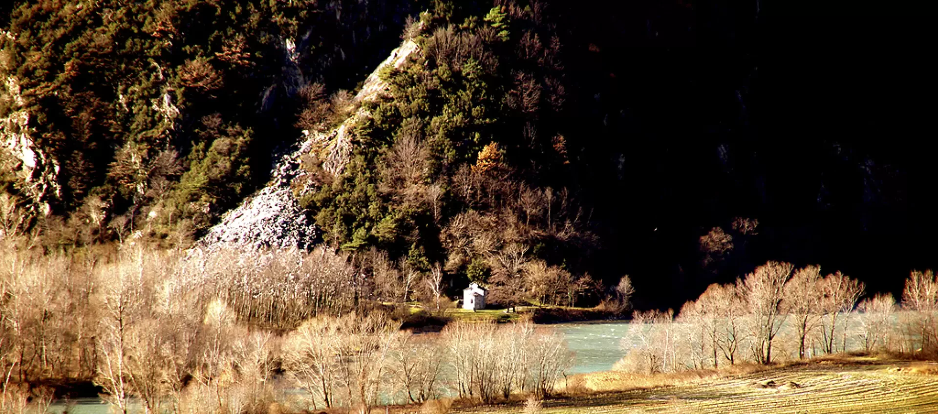
A loop trail that intercepts a long stretch of the "Tracciolino", a gutter route that joins the hydroelectric plants of the Valle dei Ratti with those of the Val Codera. The latter is known to remain one of the last permanently inhabited Alpine valleys in the absence of road connections. The local economy has been based over the past 100 years on the quarrying of the prized San Fedelino granite (named after a very old -19th century - church located nearby), and along the way we pass some of these mining sites.
.Description
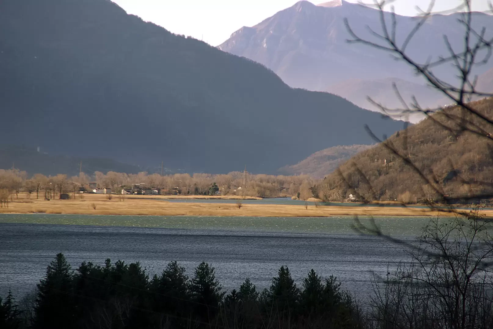
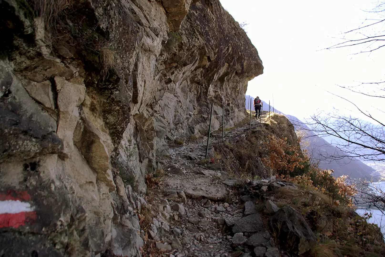
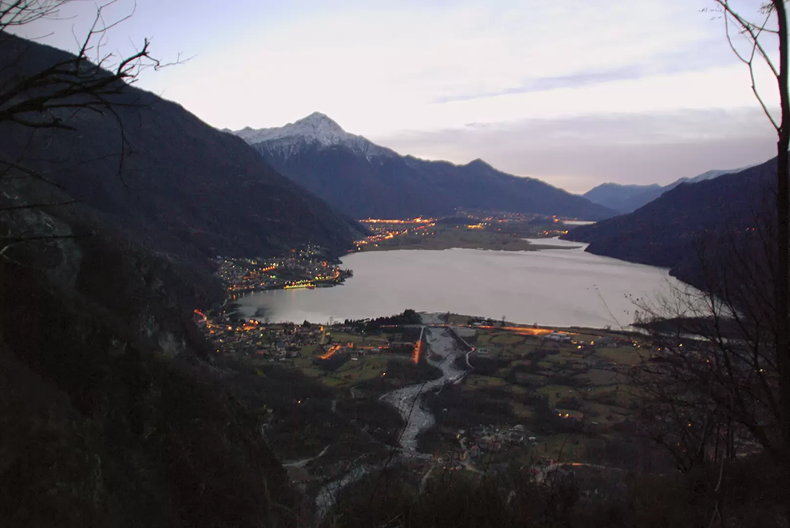
From the car park, head uphill in the direction of the visible service cableway to the village of San Giorgio. To the left of the building, we take the first curves of the mule track leading to the village: it is a cobbled path with a regular gradient, at times carved into the rock, which, despite twenty or more hairpin bends, leads without too much effort to a short climb of about 500 metres. The mule track was built around 1930 as access to San Giorgio for the daily movements of miners working on hydroelectric plants; the work was carried out to perfection and is still in perfect condition today. Once the ascent is over, we leave the very panoramic view of Lake Mezzola (an oasis of international importance for the respect of resident and migratory marsh birds) to enter the flat area among the birch trees of the promontory of San Giorgio (748m).
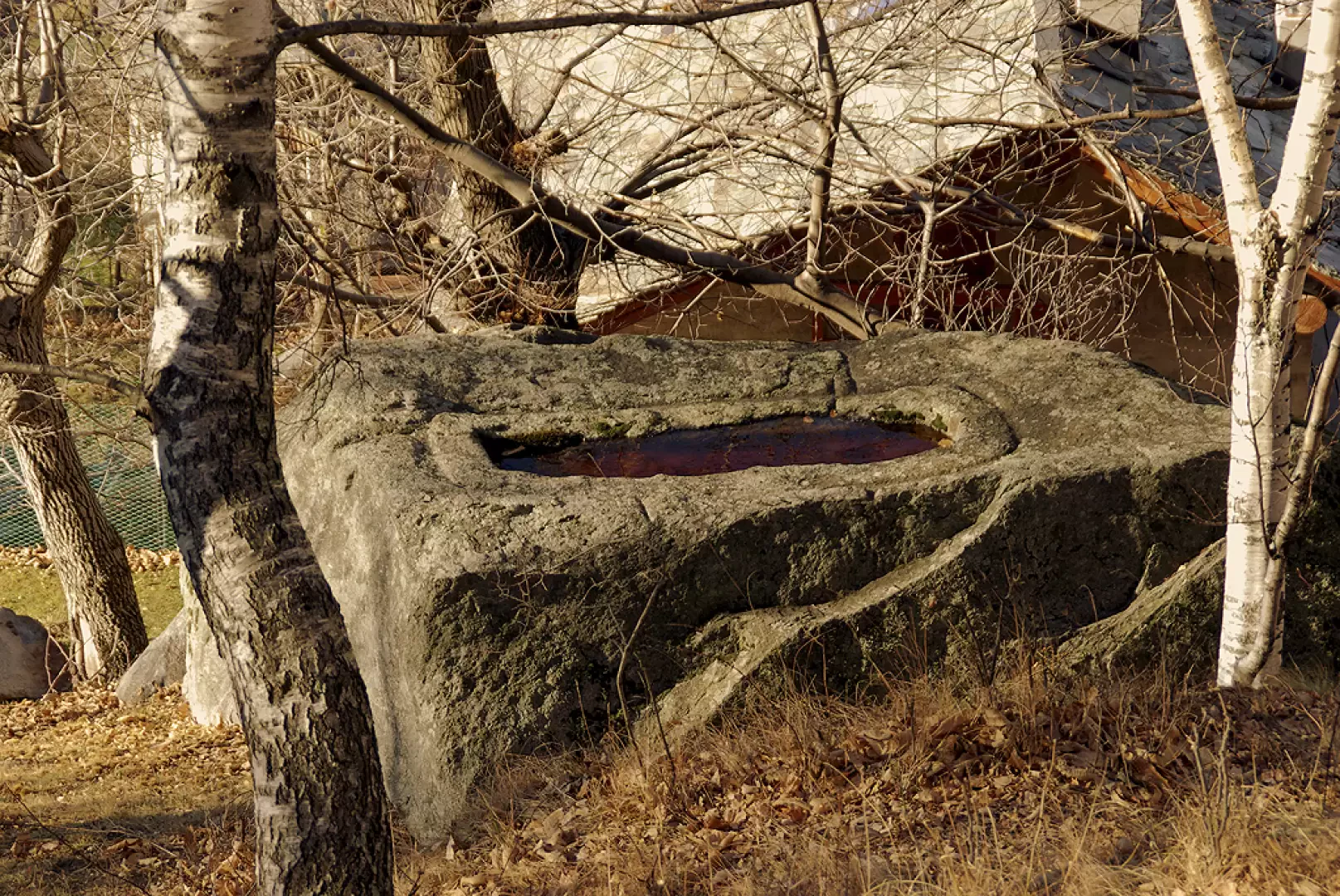
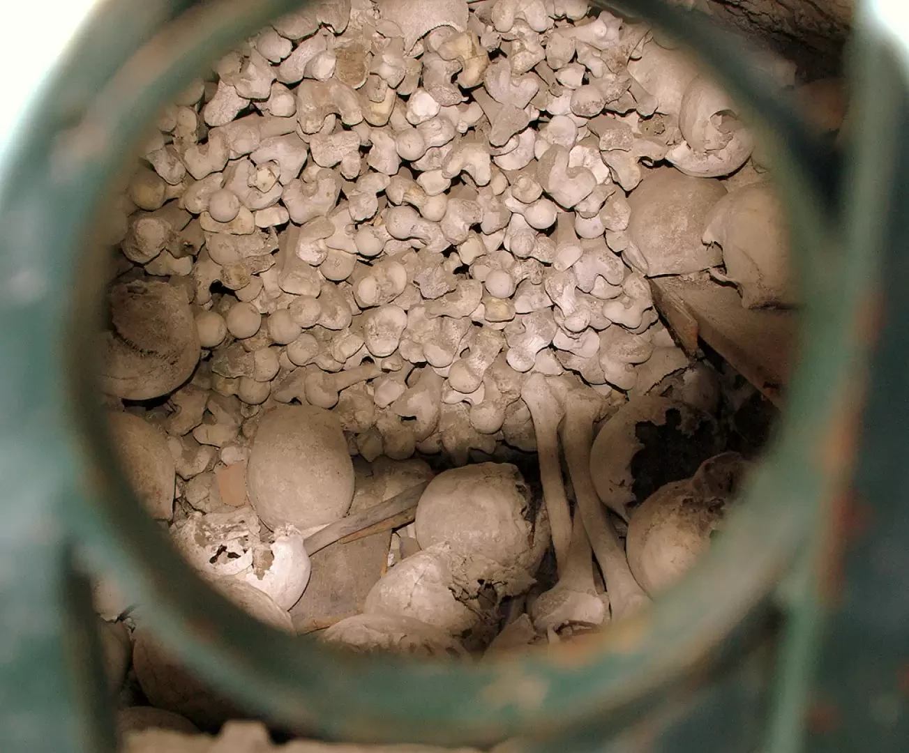
The buildings in the village are all modernised, but discreetly so, and as we penetrate among them we notice the care that the inhabitants devote to their vegetable gardens and small gardens. Before continuing on our itinerary, it is worth making a brief digression to observe the main attraction of St George: the 'avelli boulders'; these are probably ancient tombs from the Celtic era, which popular tradition confuses and overlaps with the mythology of St George himself.
Returning to the signs for Codera, we follow the path that enters the damp Revelàs valley and, ascending its opposite flank, reaches among centuries-old chestnut trees ("èrbui" in the local dialect) the Tracciolino about 900m. Ignoring the no-entry signs, we follow it at length to the left. You pass a building (used at the time of the works as a canteen for workers) and come to a fork with signs for Codera. Continuing along the Tracciolino soon becomes impossible and dangerous: a landslide has taken it away for good.
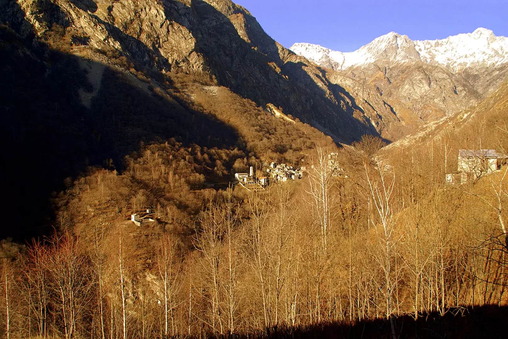
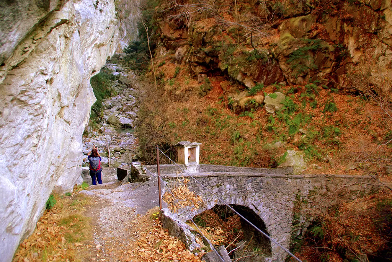
Our path descends very steeply through the meadows, even with a few artificial steps, until it reaches Alpe Cii (851m), noted for being the only one in the whole valley without the slightest square metre of level surface. On the other side of the valley, the village of Codera is well in view, preceded by the cemetery and overlooked by the gullies of wild and touristically half-known mountains. To get to Codera, one must descend further to cross two streams over bridges over dark gorges: the first of the two we encounter is artistically valuable, with a frescoed central tabernacle.
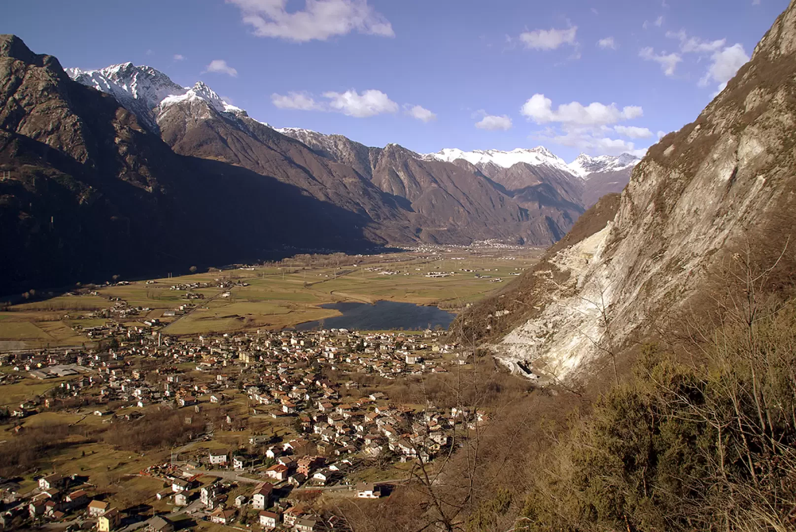
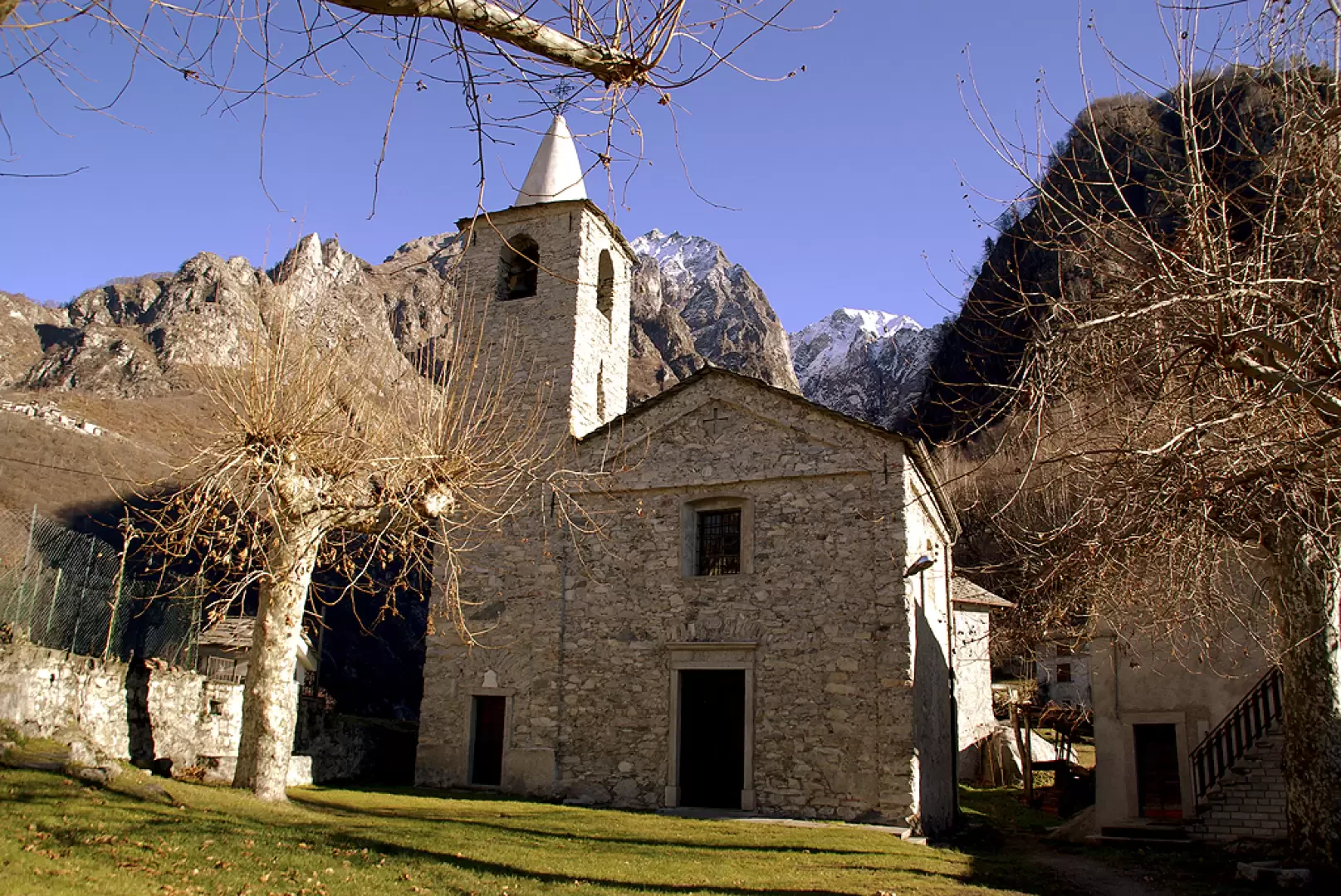
Having crossed the main stream of Val Codera, through a sparse and grassy chestnut grove, we reach the many small streets of the village centre (825m). Here too, the houses are modernised, but some are only pleasantly old and almost none have been left to crumble. There are two inns-refuges, very popular in the season, a beautiful church and also a small ethnographic museum. Crossing the churchyard towards the valley - it is a beautiful meadow - you descend a straight stretch of paved road that leads to the cemetery (frescoed remains of a macabre dance); from here, the mule track winds down the side of a small side valley, then crosses it protected by an ugly - but indispensable - concrete avalanche guard and then climbs to the 790 metres of Avedèe along a steep granite staircase: note how some of the steps have been signed by stonemasons. At the hamlet of Avedèe the view opens out once again over Lake Mezzola, Colico and the terminal basin of Lake Como.
From here the descent, except for a short false plain, is definitively steep and stepped; it passes by a chapel, runs along the forecourt of a quarry (there is an excavator that was dismantled in the valley and reassembled on site at the time) and ends at the hamlet of Mezzolpiano di Novate Mezzola. Following the tarmac roads, the route heads along the Codera stream to its confluence with the state road, a few dozen metres before the car park.
Photo gallery
Comments (0)
Sign in to leave a comment