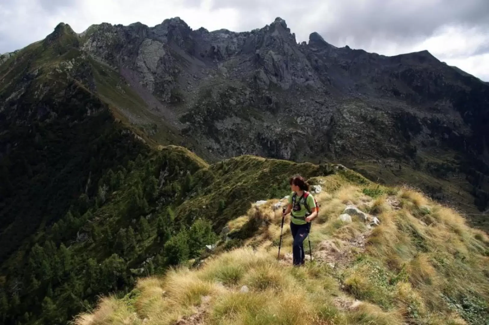
Cima del Lares, from Nasoncio

Access
From Milan to Morbegno along state roads 36 and 38; at the roundabout at the entrance to the town turn right towards Valgerola. Go up the valley until, beyond Pedesina and just before Gerola Alta, you descend to the left towards Nasoncio. After passing a first contrada (with a small church), you reach a crossroads with a hairpin bend to the right: turn and in a few tens of metres you reach a widening at the end of the road. There are a few parking spaces at the edge of the widening.
Introduction
A very little known route along this route and in any case poorly frequented due to the absence of any signposts. There are long stretches with no signposts, but the trail is almost always legible. Great final panorama of all the peaks of the terminal cirques of Valgerola: Tronella, Mezzaluna, Tre Signori and Ponteranica; excellent observation point for some interesting but neglected rock climbs of the Pescegallo cirque.
.Description
From the car park 1065m, continue along the tarmac/asphalted road (now barred to unauthorised traffic) which - very steeply - reaches the last houses of Nasoncio 1097m; from here begins the Val Bomino forest track which you follow with a very long up and down traverse through a splendid beech and fir forest. Leaving the track for Doss Caval to the left, continue until you pass two hairpin bends: a few hundred metres and, near a ford, a beautiful cobbled mule track branches off to the right without any signs. Climb up a small valley - at the top, a thin waterfall is visible - to take you up the opposite slope: at this point you are on the low pastures of the Alpe Bomino Vaga (vague = exposed to the north, shady); passing a restored hut, climb along a grassy track to the buildings of the casera 1624m, still stocked in summer with cattle, goats and a few horses. Here the trail tends to disappear: turning right on the level for about a hundred metres, a concrete trough can be found and from here the entrance to the sparse woodland of the continuation of the trail is visible. A short, slightly uphill traverse leads to the upper pastures of Bomino, which must be climbed up to the last hut: here, the pass to be reached is clearly visible. The path is a little uneven due to the passage of animals, but soon reaches the meadowland of Bocchetta di Scioch 1930m (not named, nor listed, nor shown on the maps); here you cross a well-marked path that runs along the Cresta della Motta, keeping to the western slope far below the ridge. Follow the path to the left (south-east) along an up-and-down traverse to be followed with care: the exposure is evident and the slope crossed is covered with slippery grasses [in a couple of places there are small landslides, but it is possible to circumvent them comfortably]. Having reached a small valley with numerous avalanche barriers, cross it until you reach the last structure where, at some rocks, on the left, you begin to climb up the steep hump with junipers and rhododendrons; go past a ledge and continue up to the few stony blocks of a sort of anticima. From here, following a goat track on the ridge, interrupted by a few very easy rocks, you reach the meagre summit of Cima del Lares 2045m. Return along the outward route.

