Punta d'Ostanetta

Access
Torino, Pinerolo, Bagnolo, Montoso, Rucas
Introduction
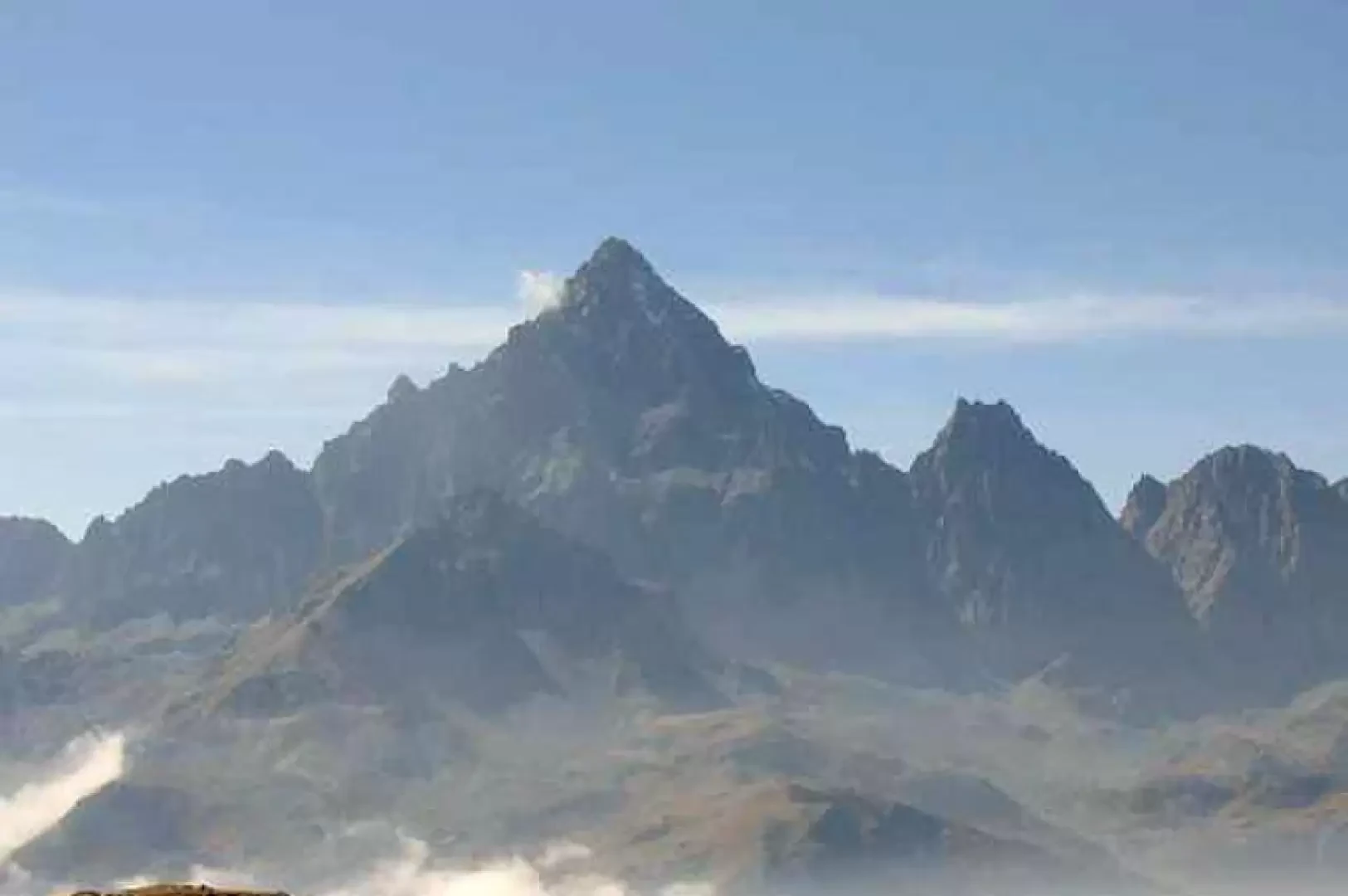
Panoramic hike on a ridge, with an excellent view from the summit: Monviso in the foreground.
Description
From the forecourt in front of the three Rucas buildings, pass above them and take the path marked V23 (initially a dirt road serving the facilities), climb up the ridge and follow it until you reach the last facility, Alpe Manna (1704m). Continue on the discreetly marked path (red and white signs and cairns), which makes a slight traverse to the right of the ridge until reaching a small plateau among scattered boulders (the Meidja 2159m). The path continues to the left of the ridge and with a last, sometimes somewhat exposed ramp, reaches the summit of Ostanetta (cross). Wanting to make the ascent more interesting and enjoyable, from Meidja continue along the ridge (signpost, white-red marks and cairns), with easy climbing on boulders and good rock, you reach Punta Rumella 2322m, from where you continue for a short distance and reach the path that leads to the summit of Ostanetta. If you wish to make a loop route, from the summit continue south-southeast on the wide ridge passing Rumelletta 2368m to Colle Bernardo 2245m, then turn sharply to the left and take the path that with a long traverse halfway up the eastern slope takes you back to Alpe Manna (white-red signs and markings).