La Torretta, from the Lac Muffé car park


Edited by:
Giancarlo Beretta
Updated at: 23/10/2025
Access
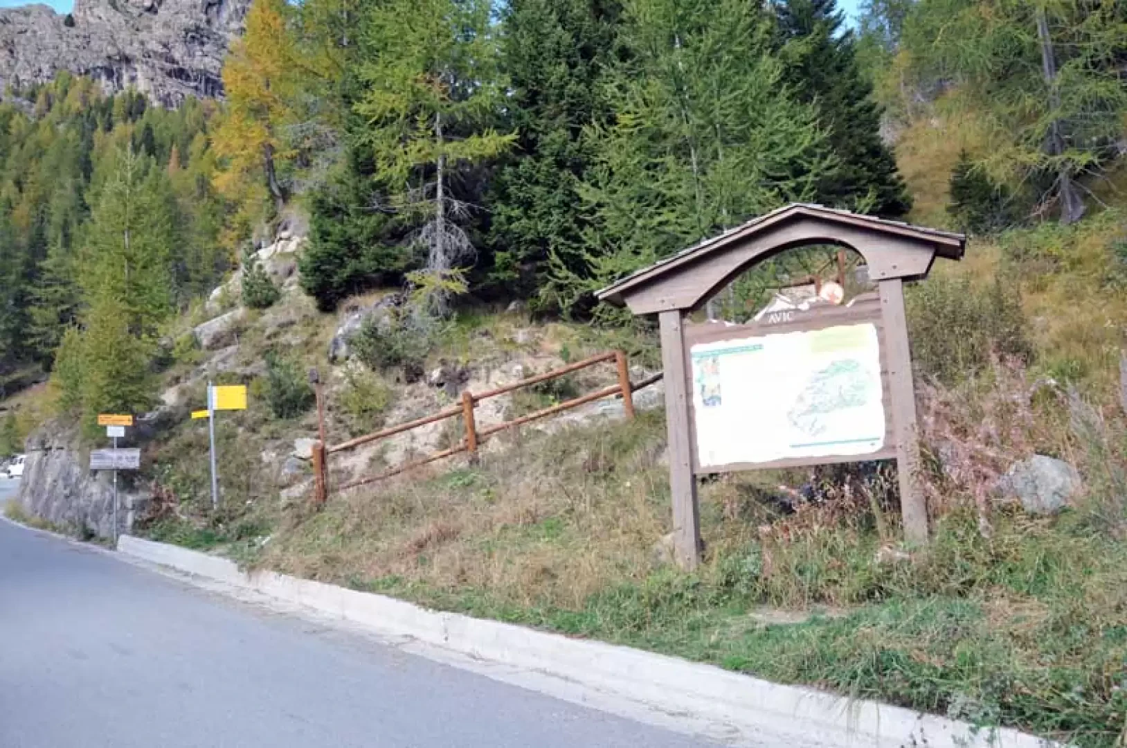
Leaving the motorway at the Pont-Saint-Martin tollgate, after 100m turn left to follow the state road in the direction of Aosta. After 500 metres, take the second exit at the roundabout and continue on the state road for 3 kilometres to the next roundabout. Take the second exit and follow the regional road in the Champorcher Valley. Continue on the regional road for 14.7 kilometres up the valley and through the villages of Hône and Pontboset before reaching Château, the centre of Champorcher. Turn right, following the signs for Dondena and climb up the little communal road for about 3.2 kilometres until you reach a clearing 🅿️ near L'Ansermet where you can leave your car.
[0h39'] - [25.8km]
How to get there with GMaps
How to get there with Apple Maps
Introduction
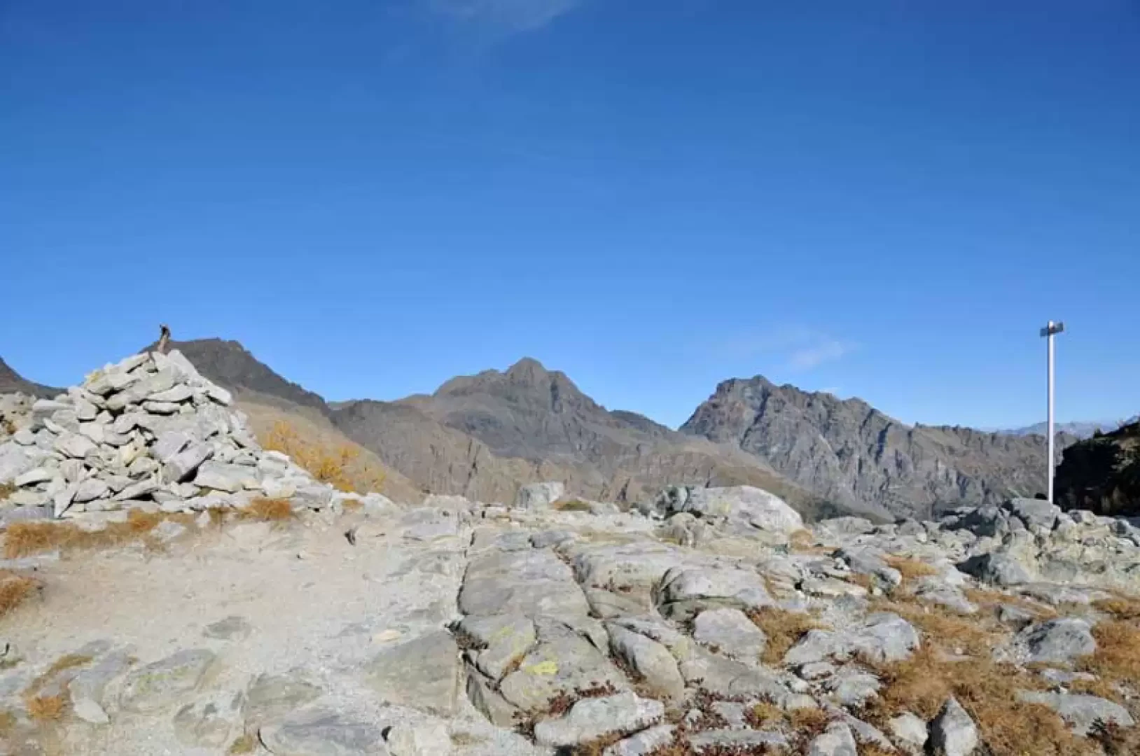
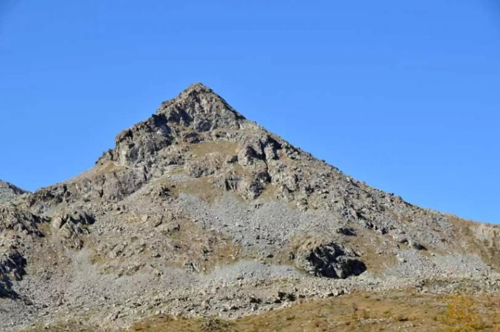
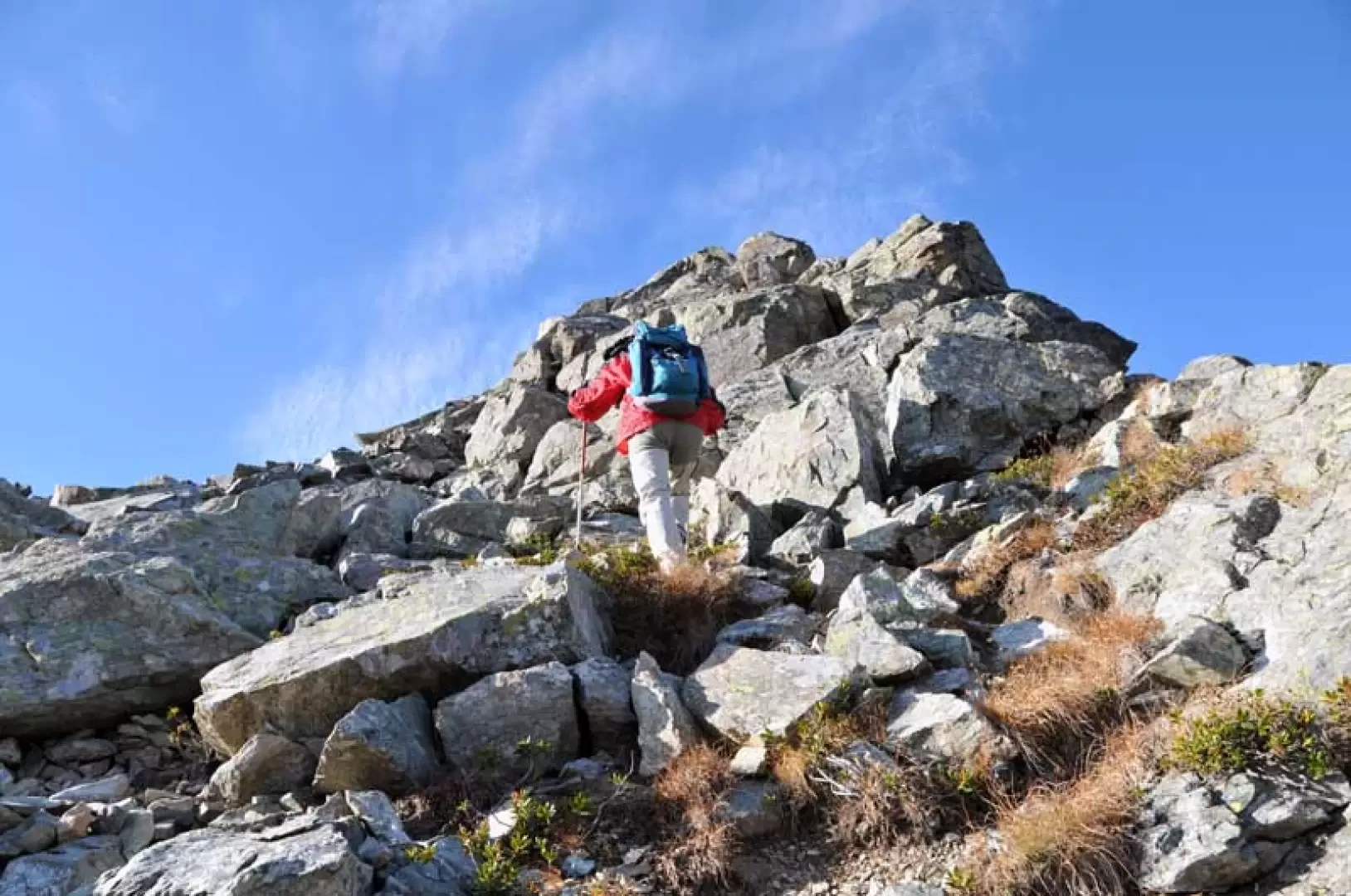
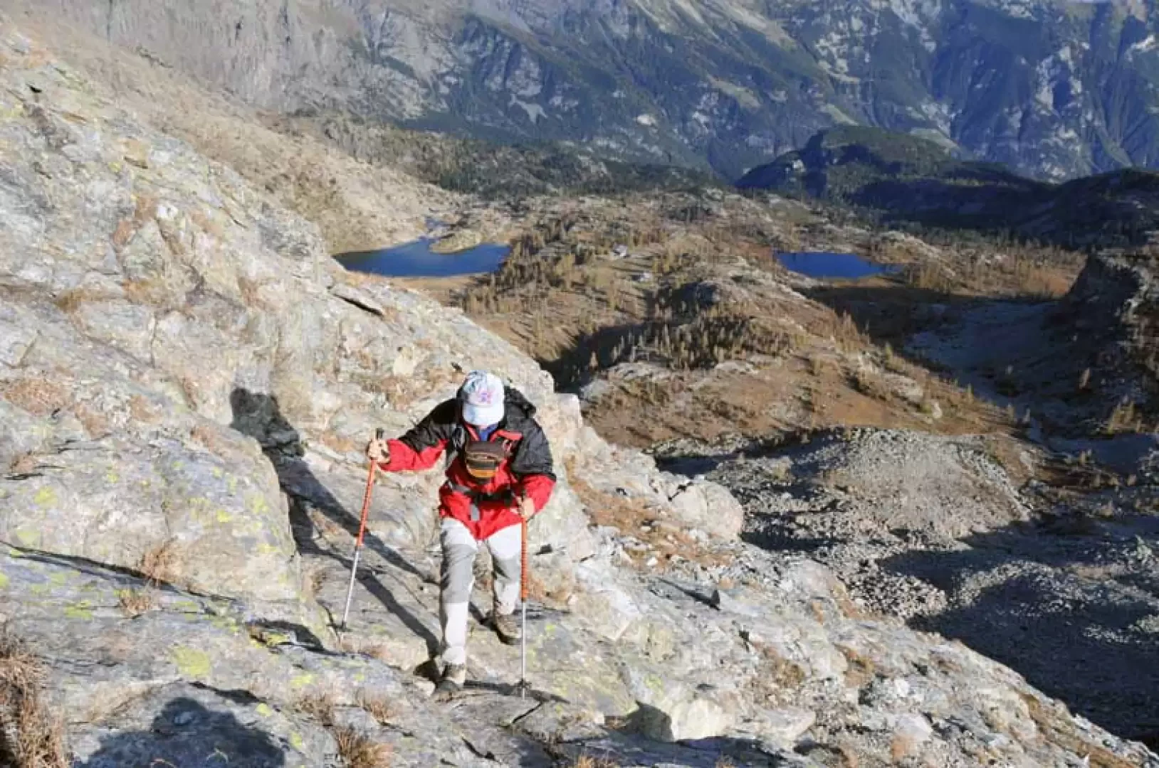
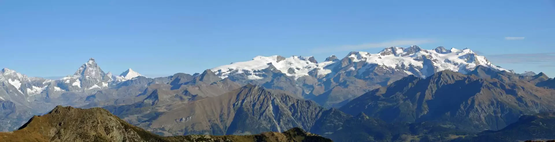
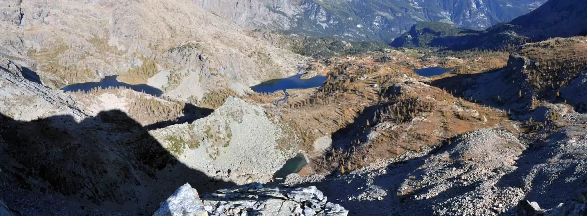
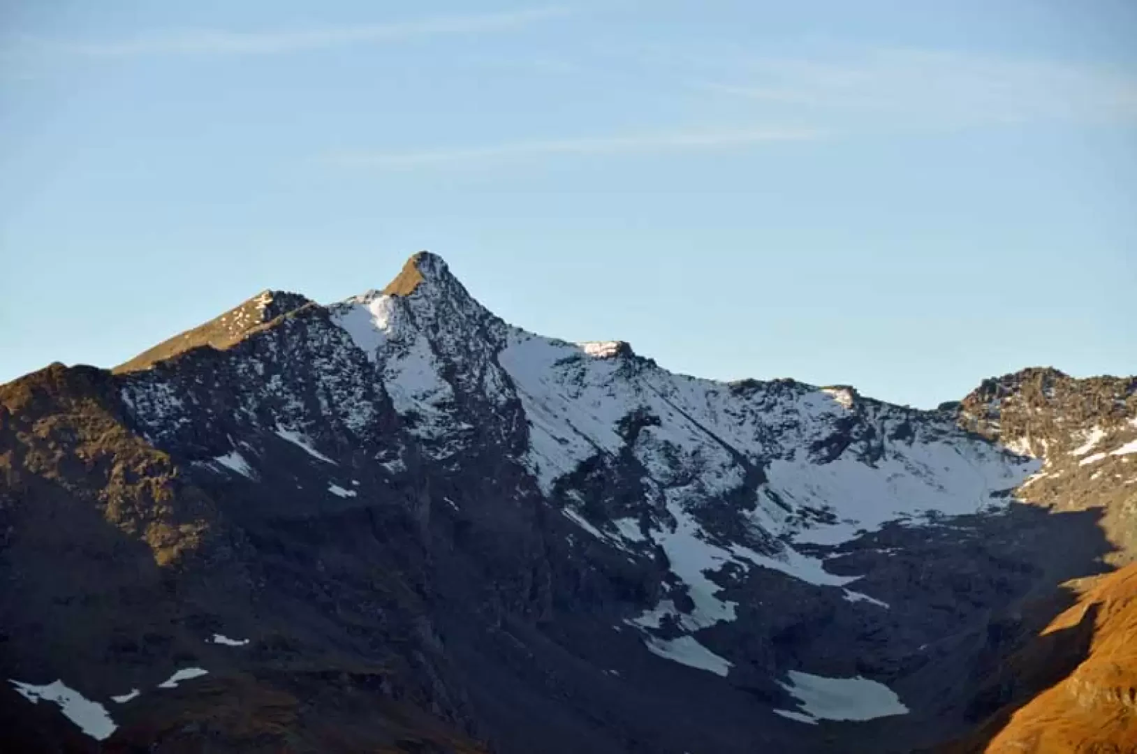
The hike takes place in the beautiful surroundings of the Mont Avic Park, passing by the beautiful Lake Muffé and the scenic col du Lac Blanc. The ascent to the peak, although short, requires a certain familiarity with progression over boulders that are also a little unstable, smooth rocks and steep terrain of crushed stone and gravel; great care should be taken when carrying out the last part of the itinerary in case of wet rocks and terrain that would become dangerous given the exposure and steepness. The summit, surmounted by two small stone cairns, has an exceptional panorama to the north-east over the Rosa group, the Matterhorn and Dent d'Herens, and the Park territory below, with the lakes and the Barbustel refuge and all the peaks that surround it clearly visible; towards the other directions, the view can sweep over the Val d'Ayas, the Central valley, the Valle della Legna and the Champorcher valley, whose upper part is dominated by the Rosa dei Banchi.
.Description
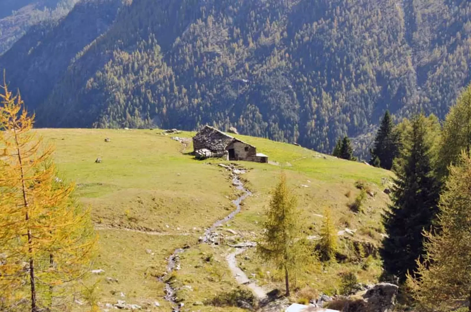
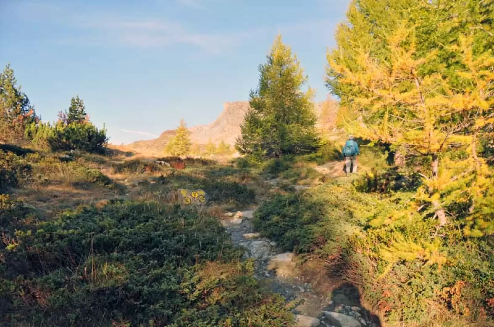
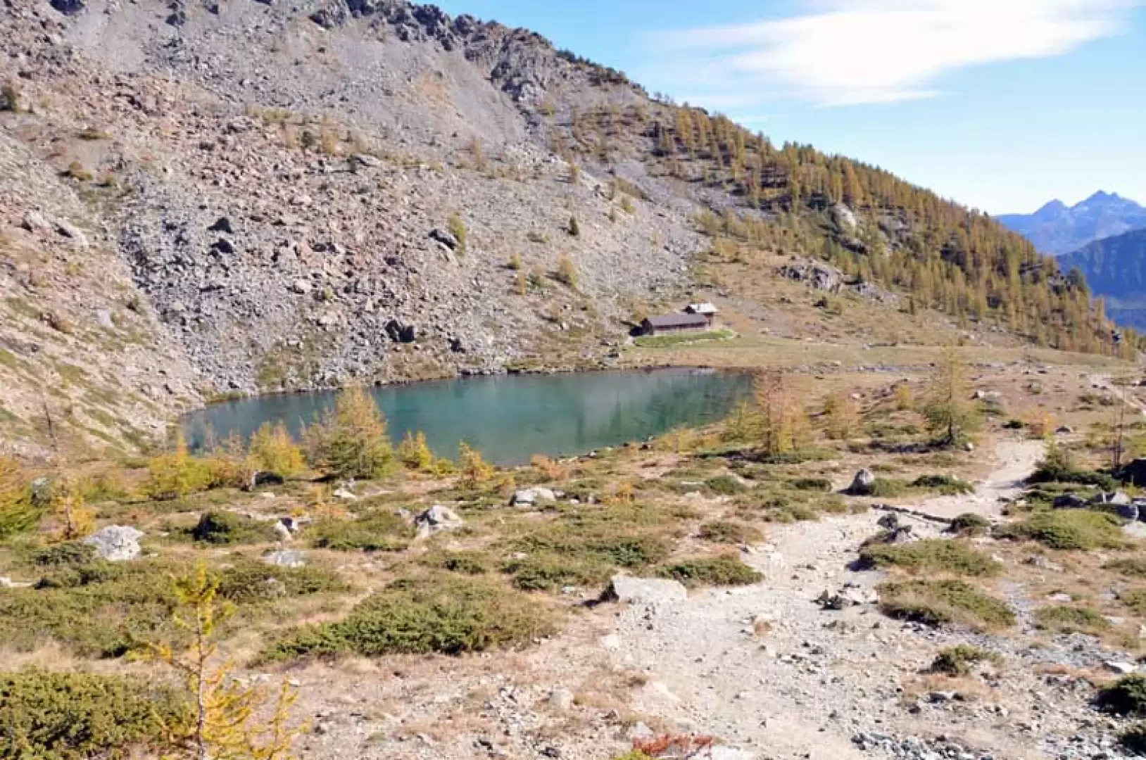
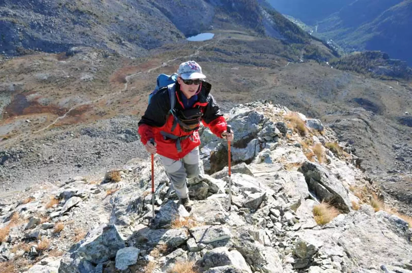
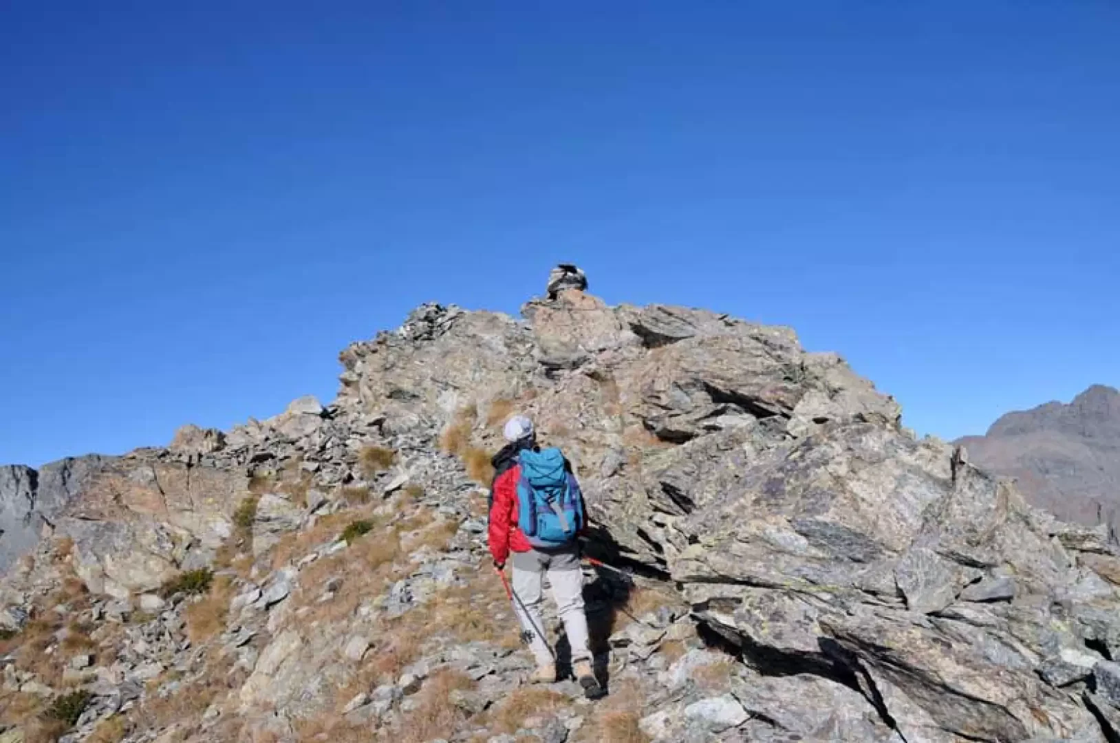
From the signposts on the road, take the clearly marked path that climbs rather steeply with a few hairpin bends through the coniferous forest, passing a hut (1847m) situated on a grassy knoll. Pass a wooden footbridge and continue to the left of a little stream, arriving in sight of the Gran Cort hut (1942m) situated just above on the other bank; A little further on, leave a path to the right indicated by a signpost (1974m) and, after a bend (1996m), leave the path to the left to cut across the slope under a low rocky rampart, arriving in more open spaces where, near a hut, you will find Lake Muffé (2076m) and further on, on the left of the wide pass, you will see the triangular peak that is the destination of this excursion. To the left of the hut is a well-marked junction with yellow markers on a stone, from which we continue to the right on gentle slopes that lead us, after continuing straight on to another junction (2231m), under the wide crest of the Colle del Lago Bianco, which is reached by a direct route (2309m): seen from here, the peak changes its appearance, becoming more pointed and slender. From the little cairn on the pass, ascend to the left (west), spotting a barely visible track that climbs, starting from a small cairn of stones, towards a small hump of broken rocks and then continues for a short distance on the level, approaching the rocky ridge. One climbs it with the slope becoming noticeably steeper, walking on the blocks of stones, encountering brief stretches of passage, at first staying to the left and then passing on the edge, heading decisively towards the smooth rocks of the summit. Moving a little to the left, you pass these rocks on steep and somewhat exposed ground, following a few stone cairns, with passages on a few small ledges alternating with steep and slippery stones, arriving at a small shoulder which is also somewhat exposed; from here, standing to the left of the line and following a barely recognisable track, you soon reach the two cairns on the summit. Photo gallery
Photo gallery


Comments (0)
Sign in to leave a comment