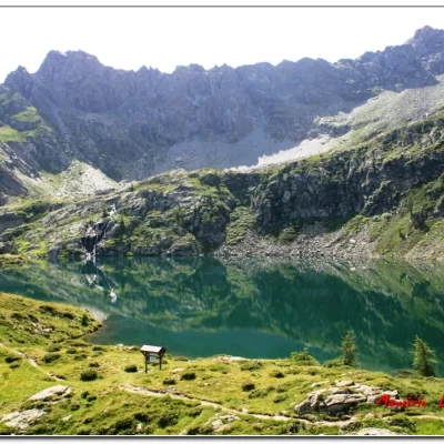
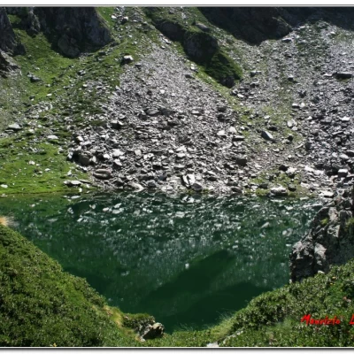
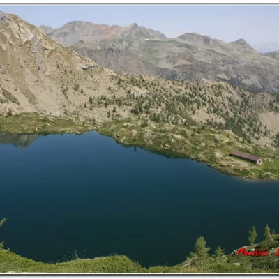
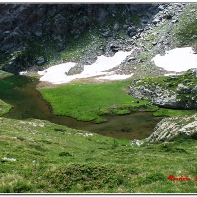
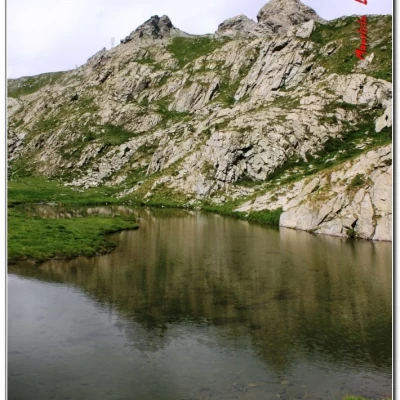
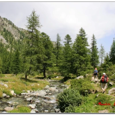
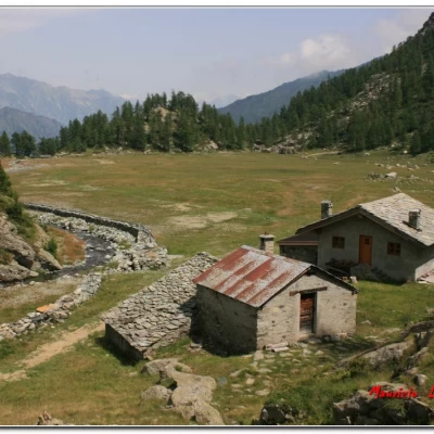
Lakes Vercoche, Piana and Molera, from Laris

Description
Preliminary note
The Laris lift in Champorcher is open in summer only a few WE in July, a couple of weeks in August and on Sunday 25.08.13 (cost one way 6 euros, reasonable. .) NB: transfers by gondola Chardonney-Laris are possible by prior arrangement even on closed days with a minimum of 25 people; for info tel. 0125 37124
Description
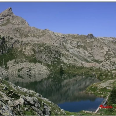
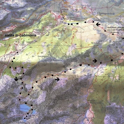
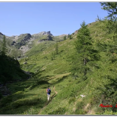
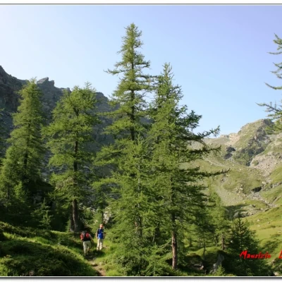
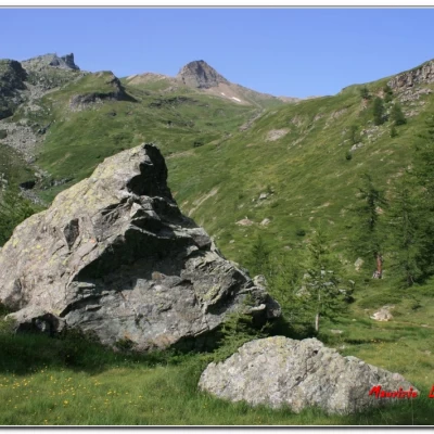
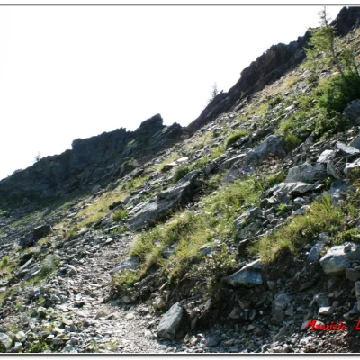
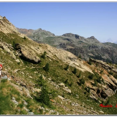
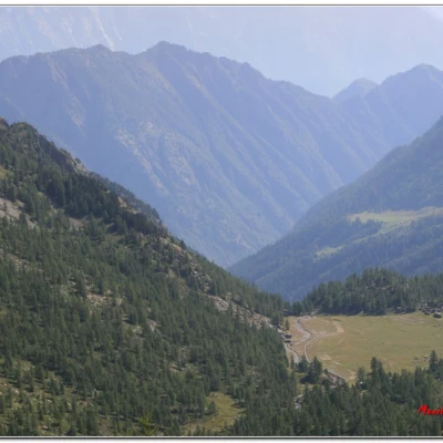
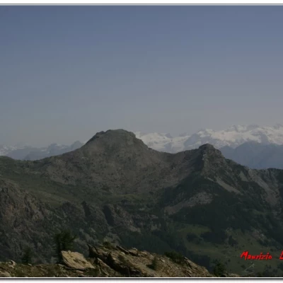
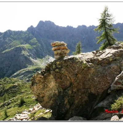
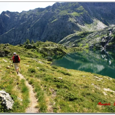
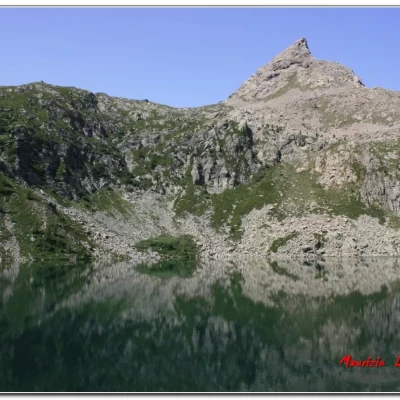
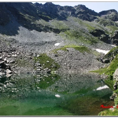
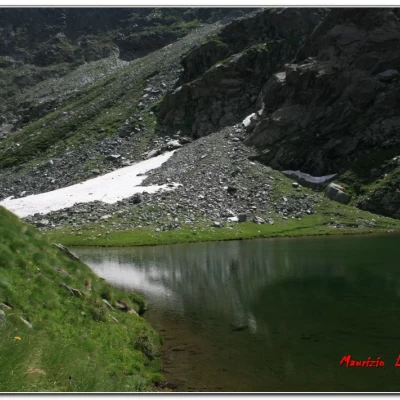
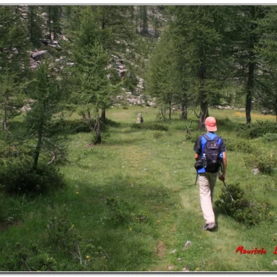
The ovets help us to skip the first 500 or so metres of ascent, if not in use allow for another 1h 15 on the basic route. On arrival at Laris at 1930 metres altitude (there are a few refuge bars) and the first impact is NOT positive. The ski slopes have hurt the mountain with unpleasant effects . . . Fortunately, we only have to follow the piste for a few metres . . and we are back in nature. We turn to the left, crossing, somewhat adventurously, a wide stream and climb at times steeply through a sparse pine grove and a scree slope, with a well-groomed track. Without too much effort, about 1h40, we arrive at the Vercoche lake (2200 m). The difference in altitude is just over 300 metres and along the way we can see the Matterhorn and the Rosa group in the background. Coming from the lake, the reflections of the mountain stand out. . . in primis the pointed Molere bec.... Magical! There's hardly anyone there, and in any case everyone who comes will stop here . . It's a pity though, at 5' there is a second lake (Piana, 2250 m) and with another 15' there is the third (Molera, 2300 m), with vast patches of snow, in a lonely and spectacular environment, for only another 100 m of altitude difference. . . To reach them, you briefly follow the sign that continues on the concrete weir beyond the hut (which has an open emergency room) and climbs immediately. In short, you are at the Piana Lake dam. Continue, then, following the cairns and signs (poorly marked) to the right, recovering a few more metres of altitude, and, when Lake Molera appears below on the left, leave the main route (which goes to the right until you see Lake Vercoche again) and by tracks (without markings) descend to the shore. After finishing the ritual photos, we return to the main lake. After a long break, the return is via the lonely Legna valley. . . It's 1.30 p.m. and the path from the first lake plunges (!) downwards and we reach a first vast plateau with huts (Vercoche); further down we see more houses in a clearing, but unfortunately the weather suddenly changes and it starts to rain (no more photos!); it's about 3.30 p.m., it's hot and the coats are a torture. . . then it stops and we are at a crossroads (1343 m, a few metres further on there's a sign indicating a monumental tree), it would be nice to take the longer route, which passes a gorge, but the weather doesn't allow it and we take the shortcut that cuts across steep slopes. . . It is wet. . . it's not exactly the best, a couple of times we slip . . . brrrrr. . . In bad weather it's almost EE (actually almost dangerous so wet, as the track is only partially safe); it's raining again and now it's also cold . . . Another 100 m of altitude (ups and downs) and we arrive tired and wet at the car park at around 17.30. 2h15 outward + 4h return with a partially circular route, 500 m difference in altitude (with some ups and downs and the use of the lift) and diff. E (very careful of the steep and craggy sections if wet) for further information, see the link http://www.cva-ao.it/sentieri/VERCOCHE/ALLEGATI/vercoche.pdf More info on the Aosta Valley at the two links on http://cralgalliera.altervista.org/nuova_pagina_24b.htm if you want some photos, they are at the link http://www.cralgalliera.altervista.org/altre2013.htm at the corresponding link NB: in the case of an excursion, always check with FIE, Cai, any park authorities or other institutions, pro loco, etc., that there have been no changes that have increased the difficulties! No liability is accepted. This text is purely indicative and not exhaustive.
.- "The Lakes of the Aosta Valley" by S. Piotti Ed. Ferrari 2005
